Easy hikes and walks around Wipfeld
4.6
(4954)
21,257
hikers
964
hikes
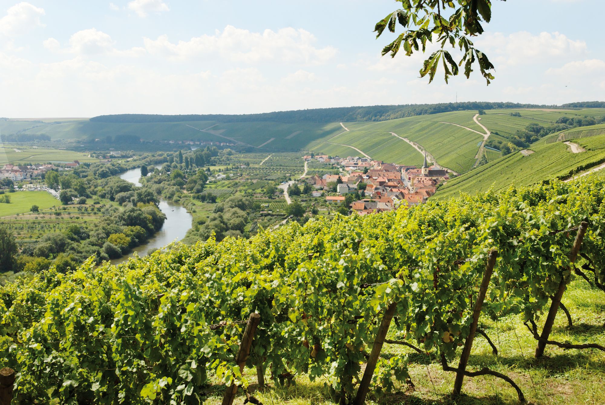
Easy hiking trails around Wipfeld traverse a landscape characterized by extensive vineyards, the winding Main River, and tranquil forests. The region features gentle valleys and hills, offering panoramic views over the Franconian Wine Country. These paths provide accessible outdoor experiences for various fitness levels.
Best easy hiking trails around Wipfeld
- The most popular easy hiking route is Kirchbergsteige – Weinbauverein Wipfeld Shelter loop from Wipfeld, a 3.0 miles (4.9 km) trail that takes 1 hour 15 minutes to complete.…
Last updated: July 14, 2026
4.0
(2)
16
hikers
Easy hike. Great for any fitness level. Easily-accessible paths. Suitable for all skill levels.
4.5
(2)
17
hikers
Easy hike. Great for any fitness level. Easily-accessible paths. Suitable for all skill levels.

Sign up for free
4.3
(3)
15
hikers
3.86km
01:06
90m
90m
Easy hike. Great for any fitness level. Easily-accessible paths. Suitable for all skill levels.
4.8
(12)
7
hikers
Easy hike. Great for any fitness level. Easily-accessible paths. Suitable for all skill levels.
4.0
(2)
4
hikers
6.34km
01:45
110m
110m
Easy hike. Great for any fitness level. Easily-accessible paths. Suitable for all skill levels.
Get access to more routes and recommendations from other explorers.
Sign up for free
Already have an account?
Our route recommendations are based on thousands of hikes, rides, and runs completed by other people on komoot.
Start today with a free account
Your next adventure awaits.
Login or Signup
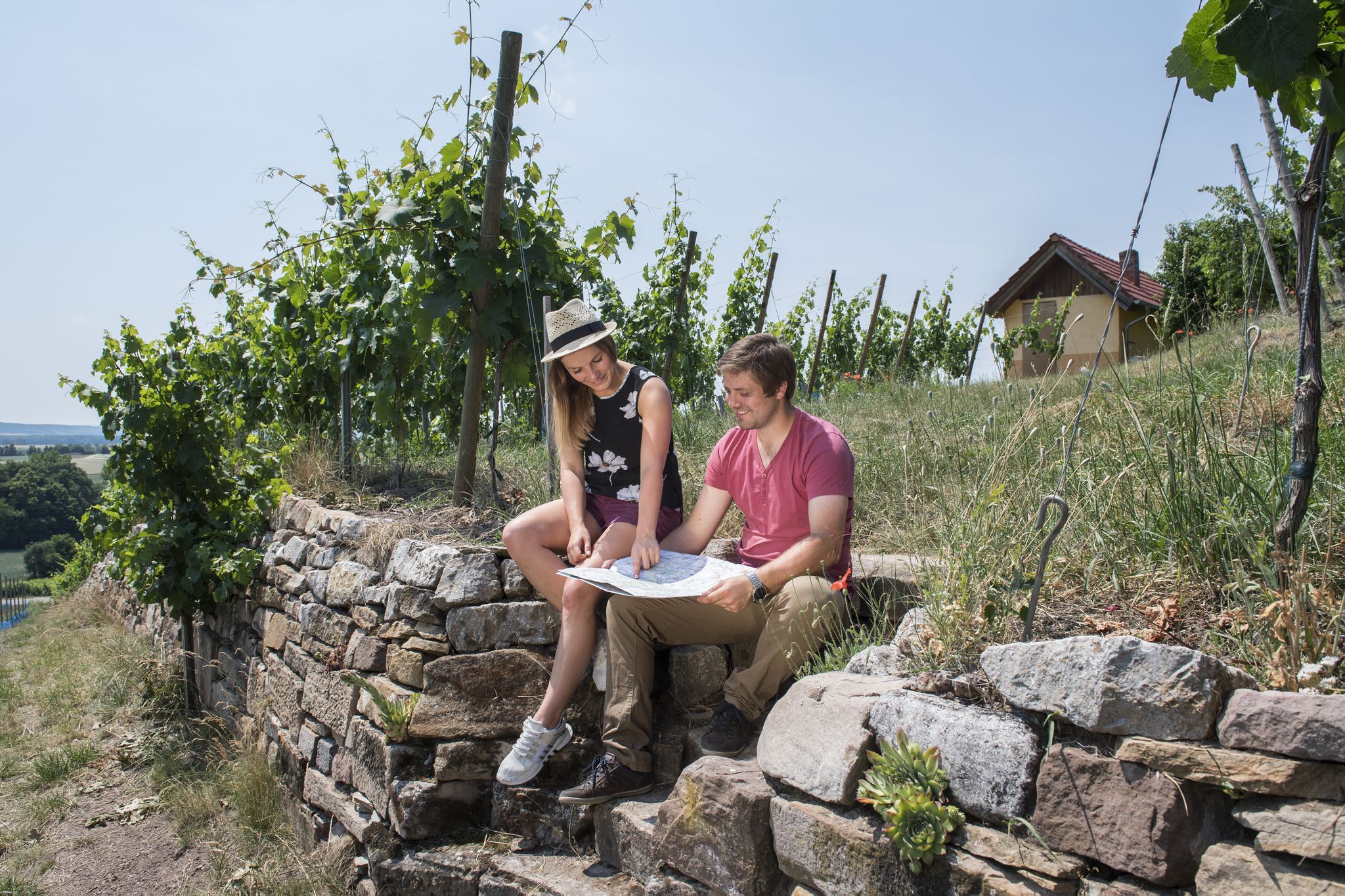
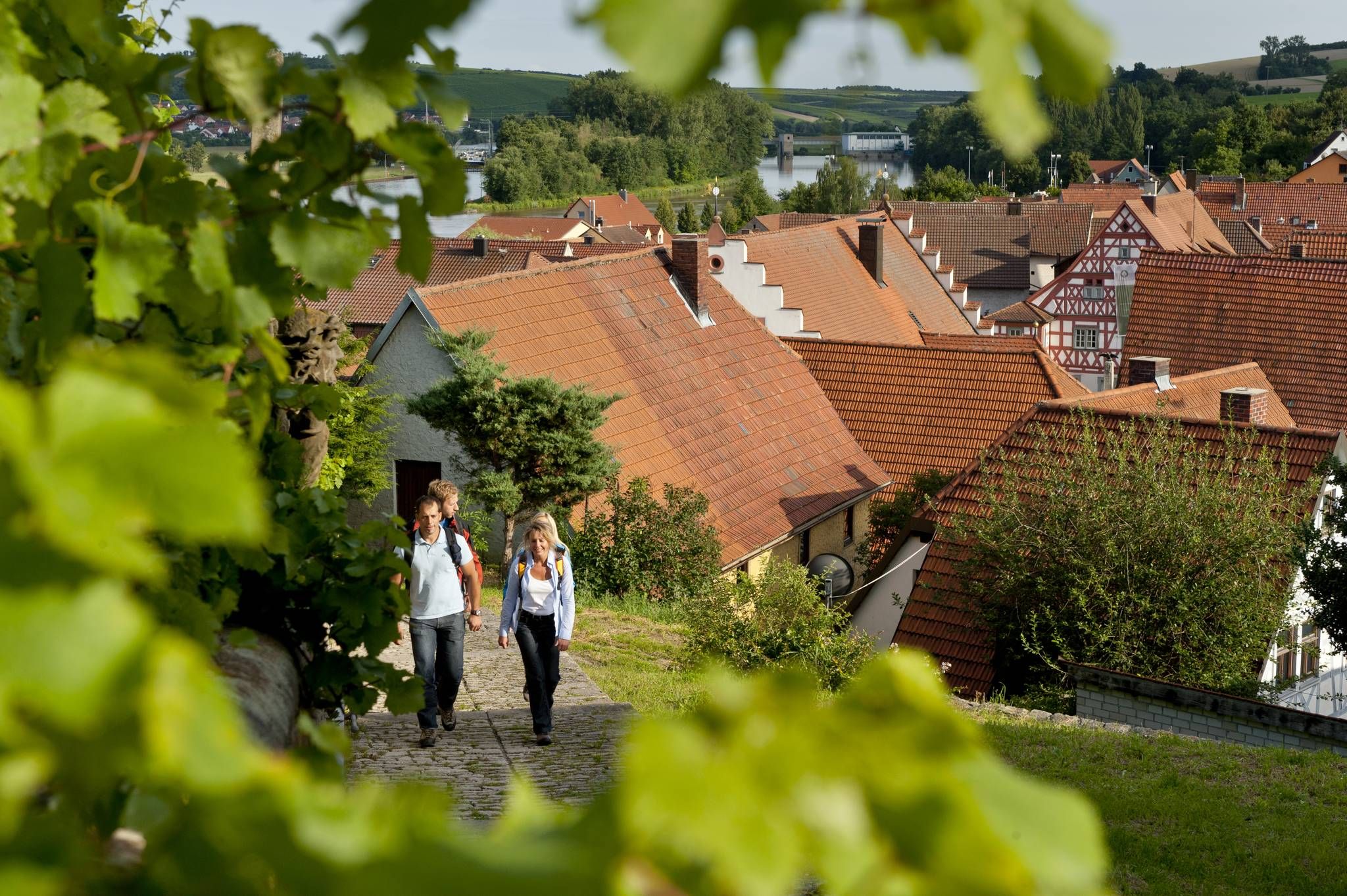
Other adventures around Wipfeld


Tips from the Community

Beautifully renovated village square
0
0
Beautifully restored historic half-timbered town hall
0
0

The ferry operates year-round and is a popular means of transport for locals and tourists alike. A ferry ride is an absolute highlight of any cycling tour.
2
0
The walk to the viewpoint in Wipfeld is worthwhile. From here you have a wonderful view over the vineyards to Wipfeld and the Main River.
0
0


beautiful historic half-timbered house - old town hall
0
0

A pond looks different. Still beautiful.
2
0

Very interesting
2
0
Frequently Asked Questions
How many easy hiking trails are available around Wipfeld?
Wipfeld offers a wide selection of easy hiking trails, with over 600 routes specifically categorized as easy. These are part of a larger network of nearly 1000 hiking options in the region, ensuring plenty of choices for all skill levels.
What kind of scenery can I expect on easy hikes in Wipfeld?
Easy hikes in Wipfeld primarily feature the picturesque Franconian Wine Country. You'll traverse extensive vineyards, enjoy panoramic views of the Main River and its distinctive loops, and explore tranquil forests and gentle valleys. Notable viewpoints like the Luisenhöhe Summit Cross offer stunning vistas over the vineyards and the Main.
Are there any easy circular walks in Wipfeld?
Yes, many easy trails in Wipfeld are circular, allowing you to start and end at the same point. For example, the Kirchbergsteige – Weinbauverein Wipfeld Shelter loop from Wipfeld is an easy 3-mile (4.9 km) circular route offering vineyard views. Another option is the Wipfeld Ferry – Wipfeld Market Square loop from Wipfeld, which is 2.4 miles (3.9 km) and follows riverside landscapes.
Are the easy hiking trails in Wipfeld suitable for families with children?
Absolutely. The easy trails around Wipfeld are generally well-maintained with gentle terrain, making them ideal for families. Routes that follow the Main River or wind through vineyards often provide engaging scenery for children. The shorter circular routes are particularly suitable for little legs.
Can I bring my dog on easy hikes around Wipfeld?
Yes, Wipfeld's easy hiking trails are generally dog-friendly. The varied terrain, including forests and riverside paths, offers a great environment for dogs. Always remember to keep your dog on a leash, especially near vineyards or wildlife, and carry waste bags.
What are some notable viewpoints or natural attractions along easy trails?
Many easy trails lead to scenic spots. The Luisenhöhe Summit Cross offers wonderful views over the vineyards to Wipfeld and the Main. You can also find highlights like the View of the Mainschleife from Terroir f in Volkach or the View of the Mainschleife (Main Loop) from Vogelsburg, which are accessible via various routes. The Speiersberg Viewpoint – View of Theilheim loop from Wipfeld is another route that offers great vistas.
Is public transport available to access easy hiking trails in Wipfeld?
Wipfeld is connected by local bus services, which can provide access to various starting points for hikes. The Wipfeld Ferry also allows for easy crossing of the Main River, enabling hikers to explore routes on both sides and integrate public transport into their plans for more flexible routes.
Where can I park when starting an easy hike in Wipfeld?
Parking is generally available in and around Wipfeld, particularly near the village center or designated hiking trailheads. Many routes, especially circular ones, are designed to start from easily accessible points where parking is provided, often free of charge.
What is the best time of year for easy hiking in Wipfeld?
The Franconian Wine Country is beautiful year-round. Spring brings blooming vineyards and wildflowers, while summer offers lush greenery. Autumn is particularly stunning with vibrant reds and golds in the vineyards. Even in winter, easy walks can be enjoyable, offering a peaceful, crisp experience, though some paths might be muddy or icy.
What do other hikers say about the easy trails in Wipfeld?
The easy trails in Wipfeld are highly regarded by the komoot community, with an average rating of 4.5 stars from over 1,300 reviews. Hikers frequently praise the well-maintained paths, the stunning vineyard and river views, and the overall accessibility for various fitness levels.
Are there options for short, easy walks in Wipfeld?
Yes, Wipfeld offers several short and easy walks perfect for a quick outing. The Wipfeld Ferry – Wipfeld Market Square loop from Wipfeld is a great example, taking just over an hour to complete its 2.4 miles (3.9 km) along the riverside.
Can I find refreshments or places to eat near the easy hiking trails?
Given Wipfeld's location in a wine region, you'll often find opportunities for refreshments. The village itself has local eateries and potentially wineries. Some trails, especially those passing through vineyards, might have shelters or huts like the Historic Schindersbrünnle or Kreuzschlepper Shelter at Katzenkopf Vineyard, which can be good spots for a break.
Most popular routes around Wipfeld
Most popular attractions around Wipfeld

Get inspired with the komoot mobile app


Explore more
Browse the best Hikes in other regions.
