Easy hikes and walks around Elzach
4.5
(33210)
116,905
hikers
183
hikes
Easy hiking trails around Elzach are set within the Black Forest, characterized by dense woodlands, rolling hills, and picturesque valleys. The region is situated between the Kinzig and Gutach valleys, with the Elz River providing numerous flat and accessible routes. Hikers can explore a network of paths that traverse forests, meadows, and along riverbanks, offering varied terrain suitable for easy excursions. The landscape features include gentle ascents to viewpoints and paths through the scenic Elz Valley.
Best easy hiking trails…
Last updated: October 6, 2026
4.8
(33)
140
hikers
Easy hike. Great for any fitness level. Easily-accessible paths. Suitable for all skill levels.
4.7
(13)
54
hikers
6.84km
01:58
160m
160m
Easy hike. Great for any fitness level. Easily-accessible paths. Suitable for all skill levels.

4.7
(15)
56
hikers
3.86km
01:06
80m
80m
Easy hike. Great for any fitness level. Easily-accessible paths. Suitable for all skill levels.
4.8
(9)
56
hikers
6.02km
01:41
120m
120m
Easy hike. Great for any fitness level. Easily-accessible paths. Suitable for all skill levels.
4.6
(9)
38
hikers
Easy hike. Great for any fitness level. Easily-accessible paths. Suitable for all skill levels.
Get access to more routes and recommendations from other explorers.
Already have an account?
Our route recommendations are based on thousands of hikes, rides, and runs completed by other people on komoot.
Start today with a free account
Your next adventure awaits.
Popular around Elzach
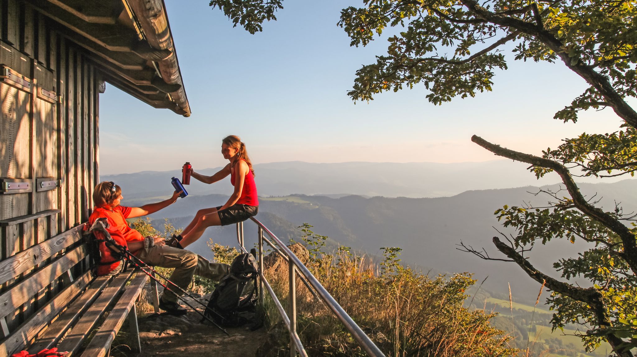
ZweiTälerSteig – 5 stages hiking to discover Germany's Black Forest
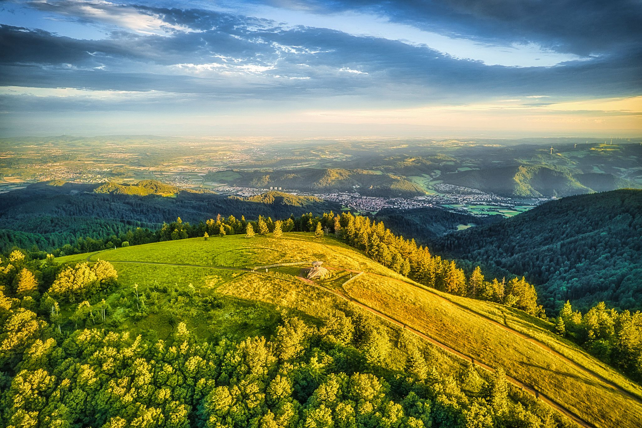
Two valleys, endless views – hiking in the ZweiTälerLand
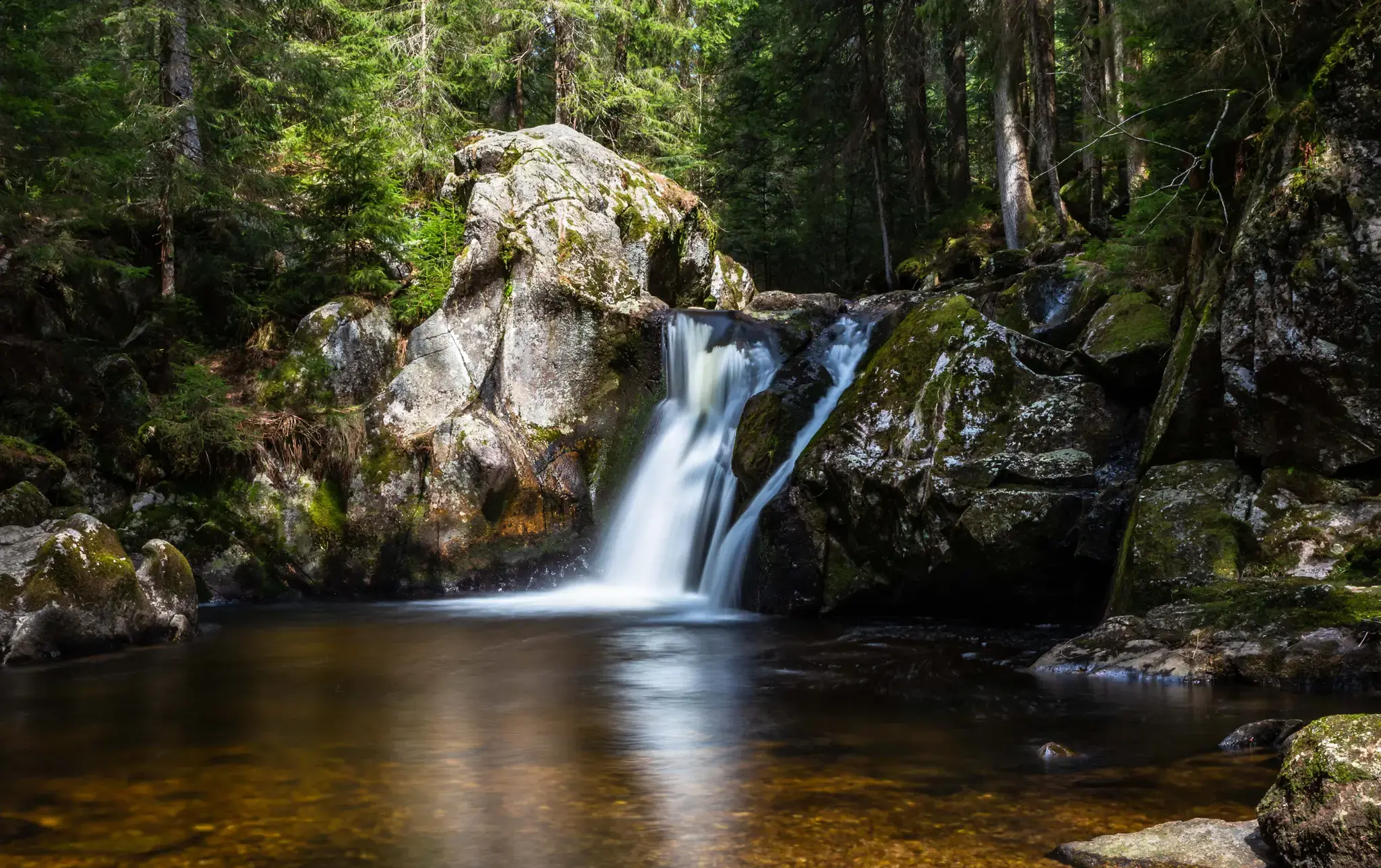
Hiking, ponds & waterfalls – superb Black Forest swimming spots
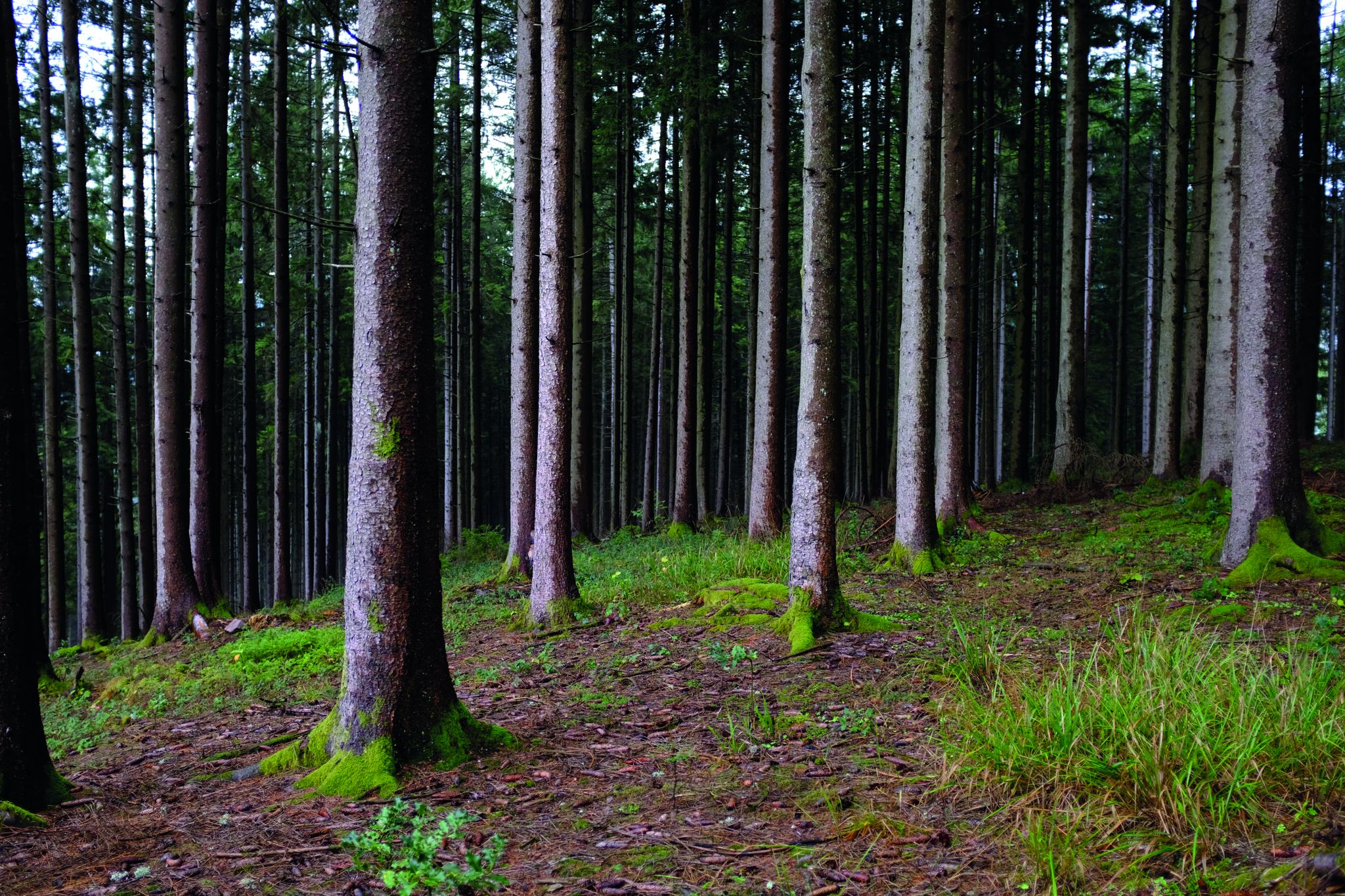
Deep in the Black Forest - Crossing on the Westweg
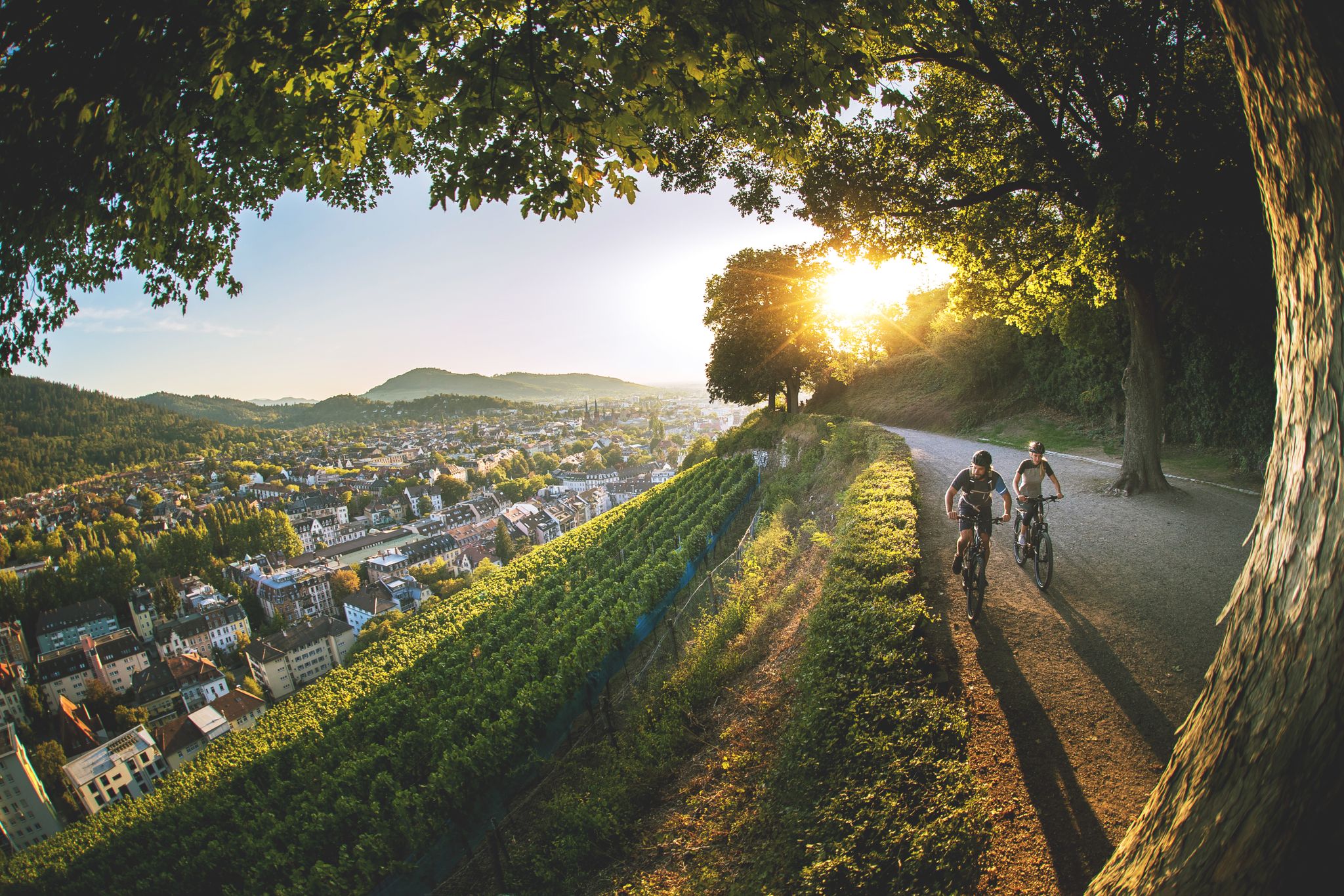
Black Forest gateau and how to burn it off again
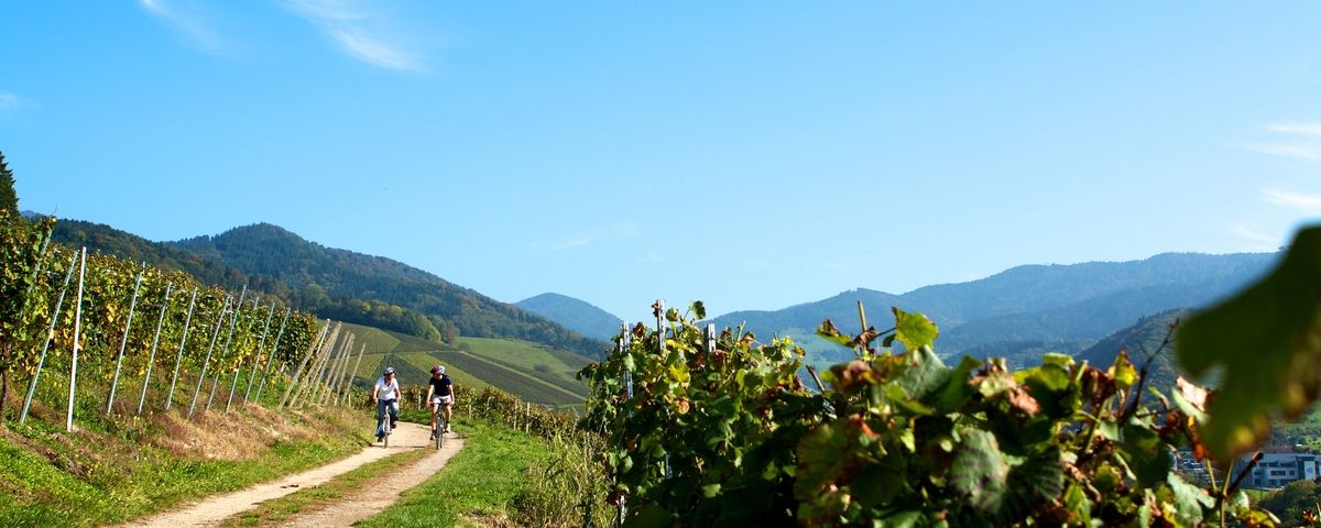
The Black Forest — Cycling in the realm of the "Bollenhüte"
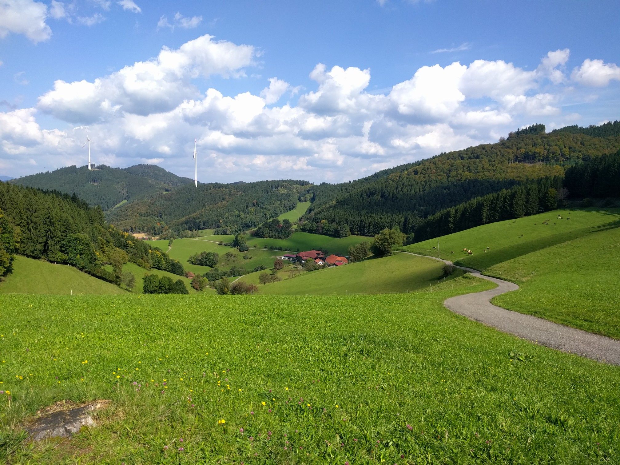
ElzLand Hotel Pfauen - Wandern im Schwarzwald 🌲
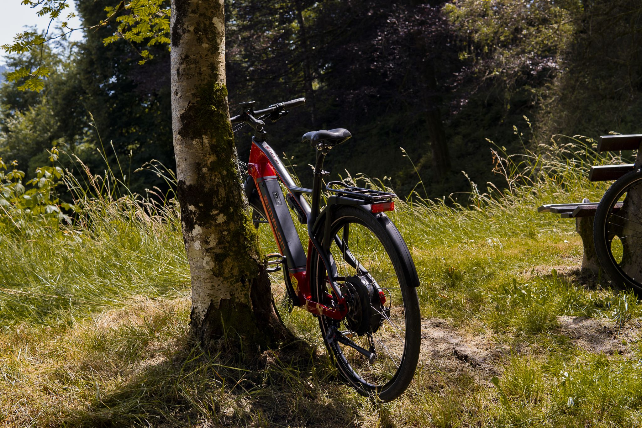
ElzLand Hotel 9 Linden - Mountainbike Touren 🚵
Other adventures around Elzach


Tips from the Community

A sundial wayside shrine is a fascinating and rare combination of a traditional religious wayside shrine (Bildstock) and an astronomically aligned sundial
3
0

The Elz is a 121-kilometer-long right tributary of the Rhine in southwestern Baden-Württemberg. It originates in the High Black Forest north of Furtwangen in the Brend area and flows through the Elz valley and the Upper Rhine Plain before dividing near Riegel. Geography & Course Source: Near the Martinskapelle chapel near Schönwald/Furtwangen in the Hochschwarzwald. Important stops: It passes through Elzach, Waldkirch, and Emmendingen, among others. The division: Near Riegel am Kaiserstuhl, the river splits: The Leopoldskanal diverts the majority of the floodwaters directly west into the Rhine. The Alte Elz flows gently on to the north, past Europa-Park in Rust, and flows into the Rhine near Schwanau.
0
0

In the face of the small sacred monument rising above the "Golden Head", which bears the very special dedication as a CROSS OF PEACE into the unrest of the world, I would like to invite you to a short spiritual rest. Here are some thoughts from Pierbattista Cardinal Pizzaballa, the Latin Patriarch of Jerusalem, who connects the Easter message of the resurrection with the hope for peace: + "God's last word is the empty tomb. It is the Lord who goes before the disciples to Galilee and also goes before us, leading us to a peace that is not an illusion, but the fruit of the cross. 'If you, [Jerusalem], had only known on this day the things that make for peace!' (Luke 19:42). The peace that Jesus offers is not a fragile agreement between enemies, but a peace born of the cross – a peace that comes from a God who gives himself completely and needs no violence or weapons. This is the paradox we must embrace today."
0
0


On the one hand, the Goldener Kopf hut is here as a perfect resting place, on the other hand, there is a beautiful viewpoint with a view into the Elztal valley and onto the heights.
0
0

We are here at Pfaus, they have Highlanders 🦬
1
0

A fairytale path along the Elz river.
1
0
Frequently Asked Questions
How many easy hiking trails are available around Elzach?
Elzach offers a wide selection of easy hiking trails, with over 65 routes specifically categorized as easy. The broader ZweiTälerLand region boasts an extensive network of 800 kilometers of trails, ensuring plenty of options for relaxed excursions.
What is the best time of year for easy hiking in Elzach?
The most pleasant seasons for easy hiking in Elzach are spring and autumn. During these times, the weather is mild, and the landscape is particularly vibrant, with blooming flowers in spring and colorful foliage in autumn. While winter offers opportunities for snowshoeing and cross-country skiing, many easy hiking trails remain accessible, though conditions may vary.
Are there any family-friendly easy hikes in Elzach?
Yes, Elzach is well-suited for family-friendly hikes. Many trails follow the Elz River, offering relatively flat and well-signposted routes. The Elz Valley Trail – View of Elzach loop from Elzach is an easy 4.2-mile path that provides scenic views and is popular with families.
Can I bring my dog on the easy hiking trails in Elzach?
Most easy hiking trails in Elzach are dog-friendly, allowing you to explore the beautiful Black Forest landscapes with your canine companion. However, it's always recommended to keep dogs on a leash, especially in nature reserves or areas with livestock, and to follow local regulations regarding waste disposal.
Are there easy circular hiking routes available?
Yes, Elzach features several easy circular hiking routes. A popular option is the Path Towards Oberprechtal – Trail Above the Lamperthütte loop from Prechtaler Schanze-Ecklesberg, a 3.6-mile trail offering varied forest and open landscapes. Another is the Funi's Vesperstüble – View of Brandenkopf loop from Funi, a 2.6-mile loop through forests and meadows.
What natural features or viewpoints can I expect on easy trails?
Even on easy trails, you can enjoy Elzach's diverse natural beauty. Many paths offer views of the scenic Elz Valley and surrounding hills. While the highest peaks like Kandel require more challenging hikes, you can still find trails with gentle ascents leading to lovely viewpoints. The region is characterized by dense woodlands, blooming meadows, and the Elz River.
Are there any waterfalls or gorges accessible on easy hikes?
While some gorges like Kostgfäll and Hundsgraben are more rugged, the "Wilde Gutach" nature trail offers a circular path through idyllic forests and past small waterfalls along the Gutach River. This trail provides a chance to experience the region's water features in a more accessible setting.
Where can I find parking for easy hiking trailheads in Elzach?
Parking is generally available near many trailheads in and around Elzach. Specific parking information can often be found on individual route descriptions on komoot. For example, routes starting from Elzach or Prechtaler Schanze-Ecklesberg typically have designated parking areas nearby.
Is it possible to reach easy hiking trails by public transport?
Elzach and the surrounding Black Forest region have public transport options that can help you reach various trailheads. The Elz Valley is well-connected, and local buses often serve smaller villages and starting points for hikes. Checking local bus schedules is recommended for specific routes.
What do other hikers enjoy most about the easy trails in Elzach?
The easy trails in Elzach are highly rated by the komoot community, with an average score of 4.6 stars from over 5,800 reviews. Hikers frequently praise the quiet woodlands, the well-marked paths, and the varied scenery that includes river valleys, forests, and open meadows, making for a relaxing and enjoyable outdoor experience.
Are there any interesting landmarks or attractions near the easy hiking routes?
Yes, even on easy routes, you might find interesting points. For broader exploration, the region is home to several notable highlights. You could visit the Grube Caroline Visitor Mine or the Segen Gottes Silver Mine for a glimpse into local history. For scenic views, the Hünersedel Observation Tower is also a popular spot, though reaching it might involve a slightly more varied terrain than purely flat paths.
Are there any easy hikes with low elevation gain?
Many easy hikes in Elzach, particularly those following the Elz River, feature minimal elevation gain, making them ideal for a relaxed stroll. For instance, the View of Brandenkopf – Flachenberg Viewpoint loop from Heidburg is an easy 3.7-mile route with a modest 123 meters of ascent, offering pleasant views without strenuous climbing.
Most popular routes around Elzach
Most popular attractions around Elzach

Get inspired with the komoot mobile app


Explore more
Browse the best Hikes in other regions.
