Easy hikes and walks in Lower Bavaria
4.5
(73916)
289,846
hikers
18,148
hikes
Easy hiking trails in Lower Bavaria traverse a diverse landscape characterized by dense forests, rolling hills, and picturesque river valleys like the Danube and Waldnaab. The region features the Bavarian Forest National Park, offering an extensive network of signposted trails through varied habitats. Lower Bavaria's terrain includes gentle slopes and some higher elevations, with peaks under 200 meters considered hills. This area provides numerous easy hiking trails suitable for various activity levels.
Best easy hiking trails in Lower Bavaria
- The most popular easy hiking route is Stone Fountain – Trifter Inn Schwellhäusl loop from Zwieslerwaldhaus, a 4.5 miles (7.2 km) trail that takes 1 hour 58 minutes to complete, winding through forest landscapes.
- Another top favourite among local hikers is Sonnenwald-Erlebnispfad, an easy 1.8 miles (3.0 km) path. This adventure trail offers scenic views and takes approximately 52 minutes.
- Local hikers also love the Ant Trail - Easy Tour around Zwieslerwaldhaus, a 1.9 miles (3.1 km) trail leading through natural forest, often completed in about 50 minutes.
- Hiking in Lower Bavaria is defined by dense forests, rolling hills, and river valleys, with a network of routes offering options for different ability levels.
- The routes in Lower Bavaria are highly rated by the komoot community with an average score of 4.6 stars from over 78,000 reviews. More than 329,000 hikers have used komoot to explore Lower Bavaria's varied terrain.
Last updated: October 8, 2026
4.7
(757)
3,932
hikers
1.88km
00:30
20m
20m
Easy hike. Great for any fitness level. Easily-accessible paths. Suitable for all skill levels.
4.7
(31)
143
hikers
2.96km
00:52
80m
80m
Easy hike. Great for any fitness level. Easily-accessible paths. Suitable for all skill levels.

4.7
(39)
129
hikers
3.08km
00:50
40m
40m
Easy hike. Great for any fitness level. Easily-accessible paths. Suitable for all skill levels.
4.7
(41)
119
hikers
Easy hike. Great for any fitness level. Easily-accessible paths. Suitable for all skill levels.
4.7
(420)
1,465
hikers
7.20km
01:58
110m
110m
Easy hike. Great for any fitness level. Easily-accessible paths. Suitable for all skill levels.
4.7
(441)
1,361
hikers
Easy hike. Great for any fitness level. Easily-accessible paths. Suitable for all skill levels.
4.6
(11)
44
hikers
Easy hike. Great for any fitness level. Easily-accessible paths. Suitable for all skill levels.
4.5
(173)
1,498
hikers
Easy hike. Great for any fitness level. Easily-accessible paths. Suitable for all skill levels.
5
hikers
3.70km
01:00
10m
120m
Easy hike. Great for any fitness level. Easily-accessible paths. Suitable for all skill levels.
4.8
(269)
953
hikers
6.40km
01:42
60m
60m
Easy hike. Great for any fitness level. Easily-accessible paths. Suitable for all skill levels.
Get access to more routes and recommendations from other explorers.
Already have an account?
Our route recommendations are based on thousands of hikes, rides, and runs completed by other people on komoot.
Start today with a free account
Your next adventure awaits.
Popular around Lower Bavaria
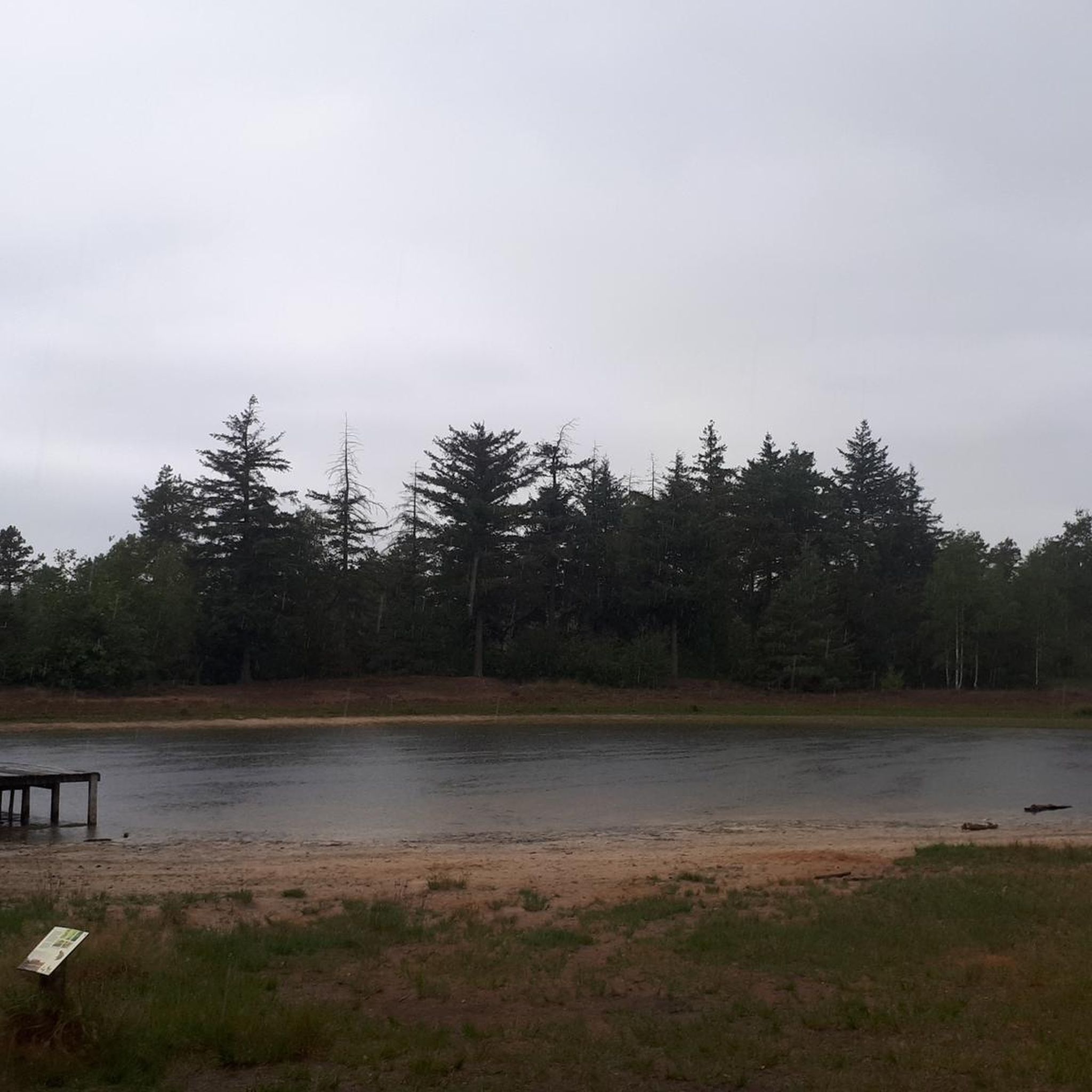
Easy hikes in Naturpark Bayerischer Wald
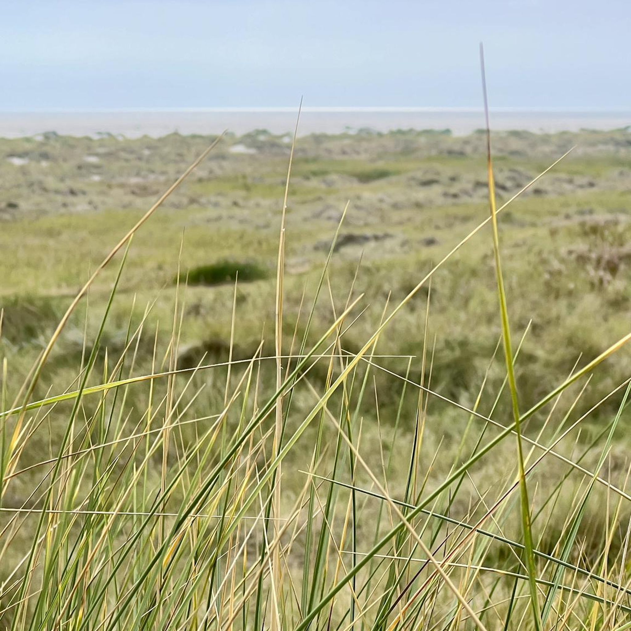
Easy hikes in Freyung-Grafenau
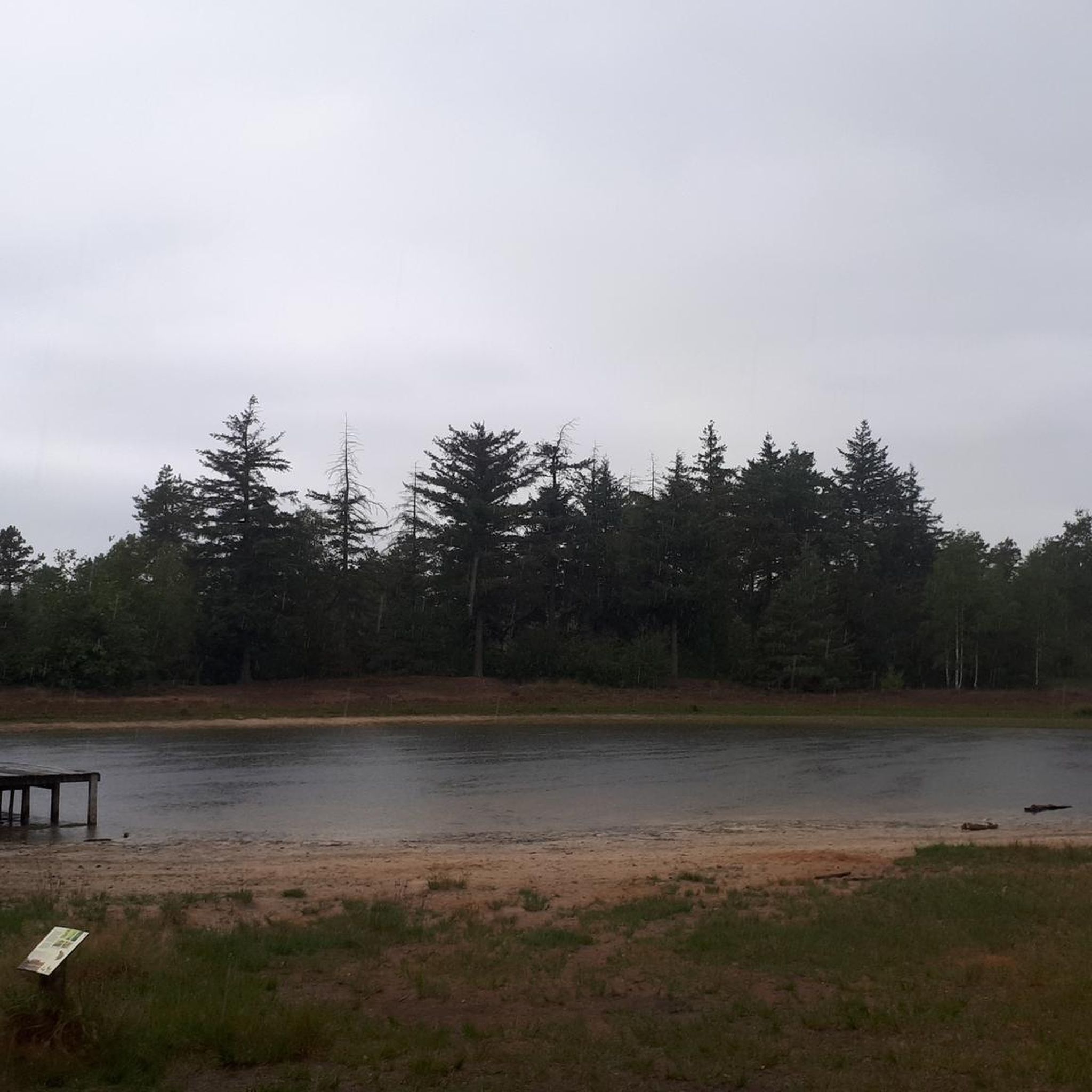
Easy hikes in Regen

Easy hikes around Landkreis Passau
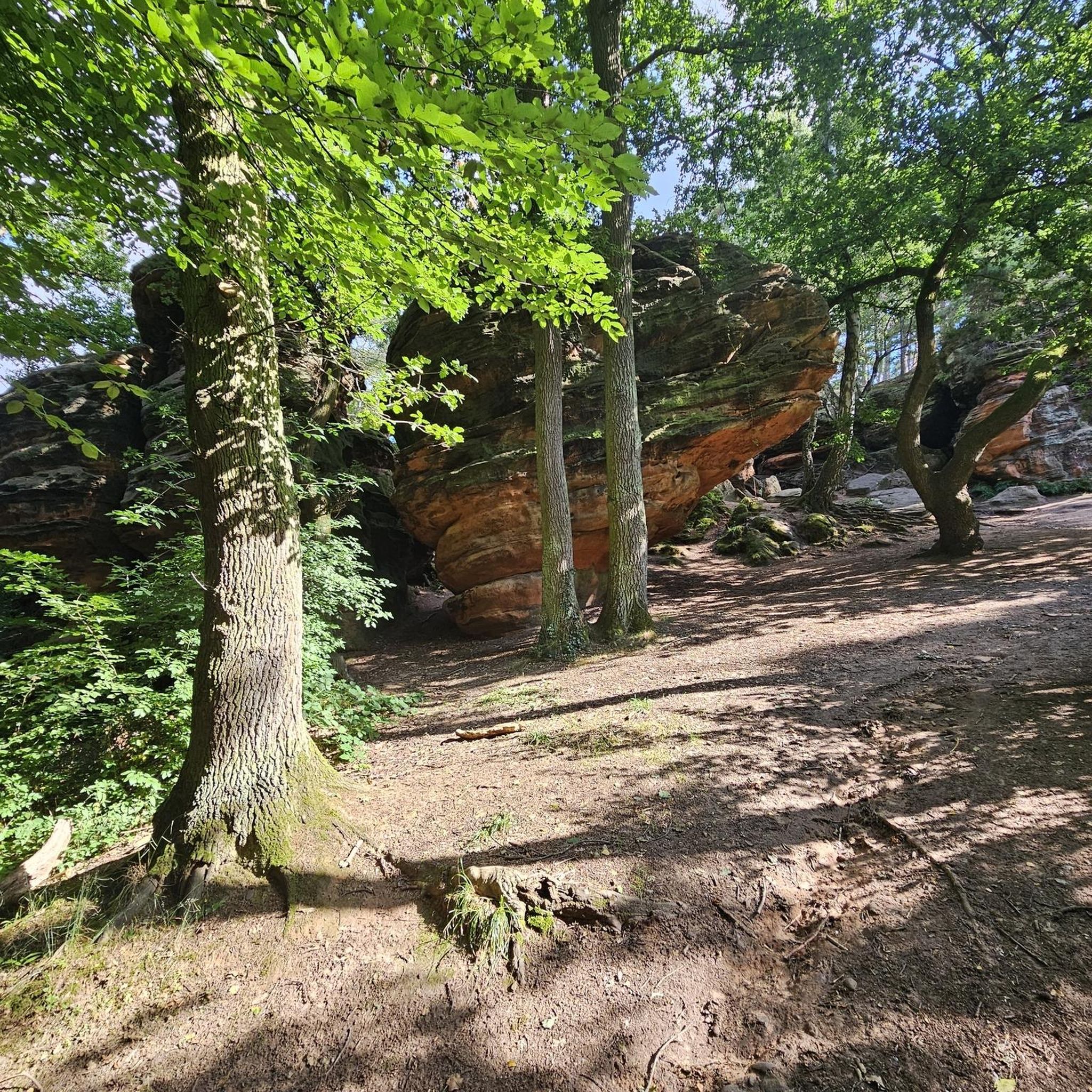
Easy hikes in Kelheim
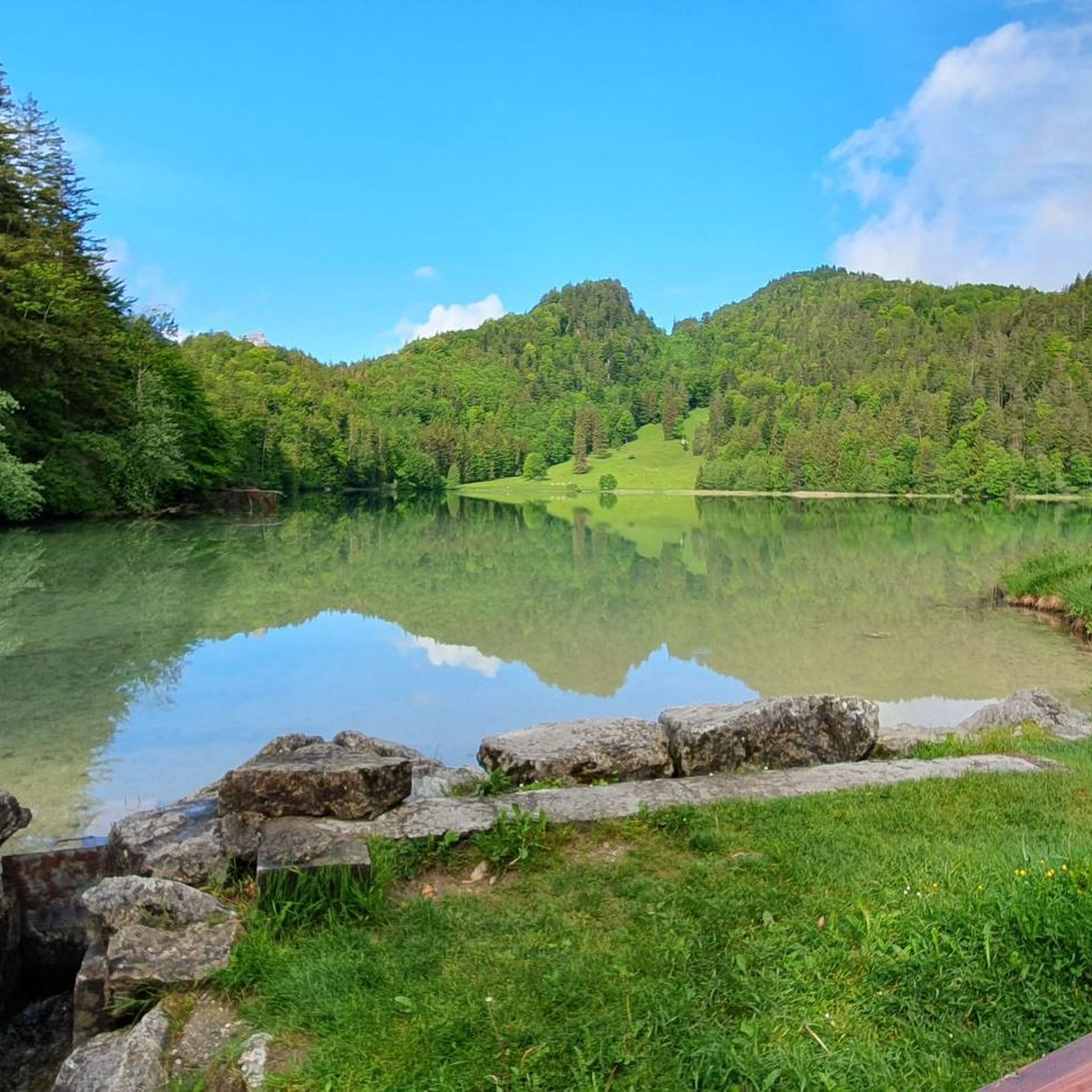
Easy hikes in Landkreis Straubing-Bogen
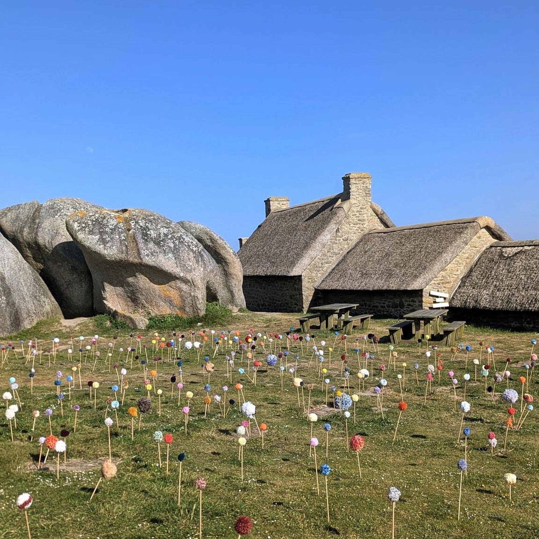
Easy hikes in Deggendorf
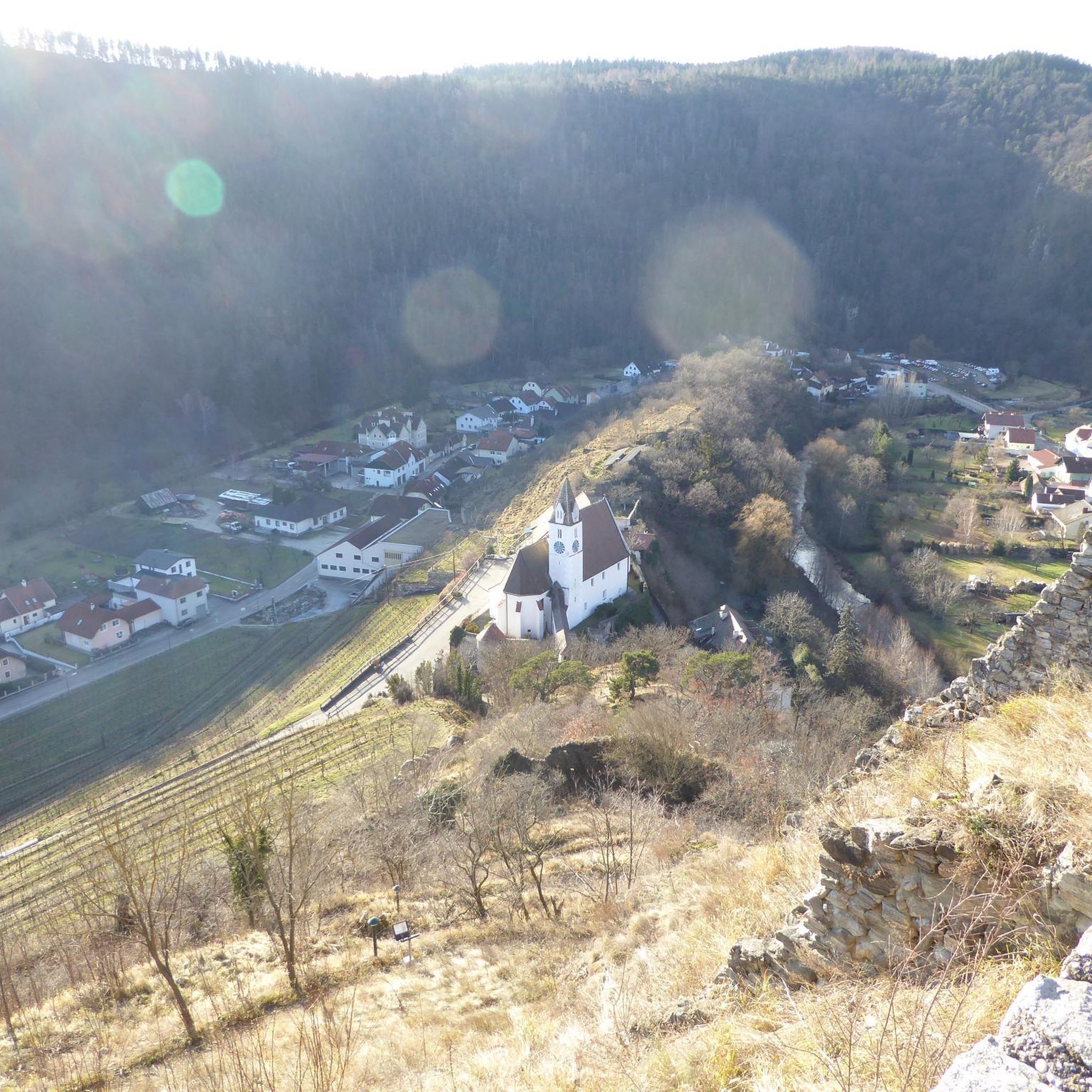
Easy hikes in Landkreis Rottal-Inn

Easy hikes in Landkreis Landshut
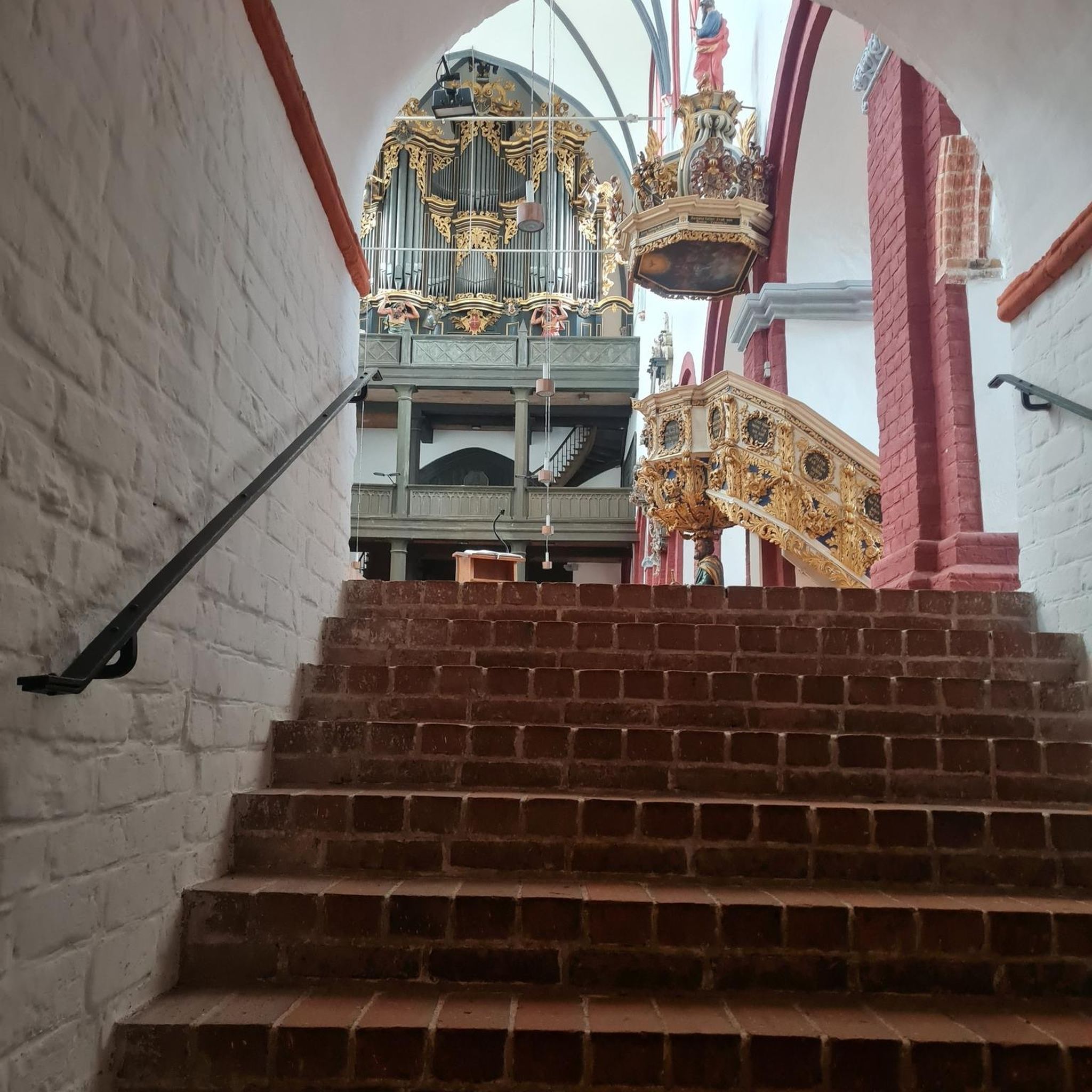
Easy hikes in Landkreis Dingolfing-Landau
Other adventures in Lower Bavaria


Tips from the Community

A small circular trail (0.8 km) and a large circular trail (3 km) lead beautifully along the Großer Pfahl near Viechtach.
0
0
An approx. 2 km long, easy-to-walk circular trail leads around the impressive Großer Arbersee. Parking unfortunately costs a whole 4 Euros! Food and drink are also available on site.
1
0

The floating islands on Großer Arbersee and Kleiner Arbersee in the Bavarian Forest are unique, ice-age natural phenomena made of so-called floating fens, which have no firm connection to the lakebed. They were formed in the 19th century when both cirque lakes were artificially dammed for timber rafting. As a result, the densely rooted peat mats detached from the ground and have since floated on the water's surface.
7
0
The circular route around the Großer Arbersee in the Bavarian Forest is a very easy walk. The route leads right through an ice-age nature reserve past dense coniferous forests, an impressive cliff face, and the famous floating islands.
7
0

The 38-hectare primeval forest-like forest stand in the Hans-Watzlik-Hain with its imposing tree giants west of the village of Zwieslerwaldhaus is accessible via the Urwalderlebnisweg trail. Here stands the Dicke Tanne (also called Westhütter Tanne), with a trunk diameter of two meters and a height of over fifty meters, it is the strongest tree in the Bavarian Forest. Along the trail, there are numerous other large trees of the spruce, beech, and fir species.
8
0

Geology of the Großer Pfahl The towering rock wall of Pfahl quartz near Viechtach is probably one of the most striking formations on the entire Pfahl. To the west lies a former quarry where Pfahl quartz was mined. An educational trail explains the special features of the region. The Pfahl is the quartz-infused core of the Pfahl zone, which was shaped by Pleistocene erosion from Tertiary weathering formations, a fault zone that runs through the entire Bavarian Forest from NW to SE. The geotop has been awarded the seal of approval "Bavaria's 100 most beautiful geotopes" and is explained on-site with an information board. Further information at https://www.lfu.bayern.de/geologie/bayerns_schoenste_geotope/index.htm Bavarian State Office for the Environment (LfU). https://www.umweltatlas.bayern.de/standortauskunft/rest/reporting/sb_geotope/generate?additionallayerfieldvalue=276R002
0
1

Spectacular tree giants and deadwood
0
0

Very good guesthouse. The fish dishes are highly recommended.
0
0
Frequently Asked Questions
How many easy hiking trails are available in Lower Bavaria?
Lower Bavaria offers a wide selection of easy hiking trails, with over 9,800 routes suitable for various activity levels. These trails traverse diverse landscapes, from dense forests to rolling hills and picturesque river valleys.
What kind of terrain can I expect on easy hikes in Lower Bavaria?
Easy hikes in Lower Bavaria typically feature gentle slopes, dense forests, and scenic river valleys like the Danube and Waldnaab. While the region has mountains, easy trails generally stick to lower elevations and well-maintained paths, often found within areas like the Bavarian Forest National Park.
Are there circular easy hiking routes in Lower Bavaria?
Yes, many easy trails in Lower Bavaria are circular, offering convenient starting and ending points. For example, you can explore the Stone Fountain – Trifter Inn Schwellhäusl loop from Zwieslerwaldhaus, a 7.2 km route through forest landscapes, or the Ant Trail - Easy Tour around Zwieslerwaldhaus, a 3.1 km loop through natural forest.
Are there easy hikes suitable for families with children?
Absolutely. Lower Bavaria has several family-friendly easy hikes. The Circular route Crayfish - Family-friendly tour over stock and stone is specifically designed for families. Additionally, the Sonnenwald-Erlebnispfad is an adventure trail offering scenic views and interactive elements.
Can I find easy trails that feature waterfalls or gorges?
Yes, Lower Bavaria is home to natural spectacles like the Riesloch Falls and the Rißloch Gorge. You can experience a gorge on an easy hike with routes such as the Weir on the Saußbach – Saußbachklamm Gorge loop from Saußbachleite, which takes you through the Saußbachklamm Gorge.
Are there easy hikes near lakes or rivers in Lower Bavaria?
Many easy trails in Lower Bavaria follow picturesque river valleys or lead to serene lakes. The Danube and Ilz rivers offer beautiful riverside paths. Consider the Wooden bridge over the Ilz – Ilz Valley loop from Fürsteneck for a riverside experience, or explore areas near the Great Arber Lake or Lake Rachel.
What interesting landmarks or viewpoints can I see on easy trails?
Lower Bavaria's easy trails often pass by unique natural formations and historical sites. You can hike to the View of Prunn Castle or explore the Großer Pfahl rock formation – Great Pfahl loop. The Oberhaus Fortress in Passau is also accessible via easy routes like the Three Rivers Corner (Ortspitze) – Schaiblingsturm loop from Passau Hbf.
What do other hikers enjoy most about easy hikes in Lower Bavaria?
The easy hikes in Lower Bavaria are highly rated by the komoot community, with an average score of 4.6 stars from over 78,000 reviews. Hikers often praise the region's diverse natural beauty, well-marked paths, and the peaceful atmosphere of its forests and river valleys.
Are there any barrier-free easy hiking options in Lower Bavaria?
Yes, Lower Bavaria offers some barrier-free options for an inclusive nature experience. The Libelle Circuit - Barrier-free nature experience in the Großer Filz is an example of a route designed for accessibility.
What is the typical duration of an easy hike in Lower Bavaria?
Easy hikes in Lower Bavaria vary in length and duration, but many can be completed within a few hours. For instance, the Sonnenwald-Erlebnispfad is about 3 km and takes approximately 52 minutes, while the Stone Fountain – Trifter Inn Schwellhäusl loop is 7.2 km and typically takes around 2 hours.
Are there easy hikes that offer views of castles?
Yes, you can find easy hikes that provide views of historical castles. For example, some trails offer views of Prunn Castle or lead near Frauenstein Castle, allowing you to combine nature with cultural sights.
Most popular routes in Lower Bavaria
Most popular attractions in Lower Bavaria

Get inspired with the komoot mobile app


Didn’t find what you were looking for?
Check out more Hikes throughout Lower Bavaria below and find the perfect route in your destination.
Explore more
Browse the best Hikes in other regions.
