Easy hikes and walks in Zweifaller Und Rotter Wald
4.6
(1943)
6,646
hikers
110
hikes
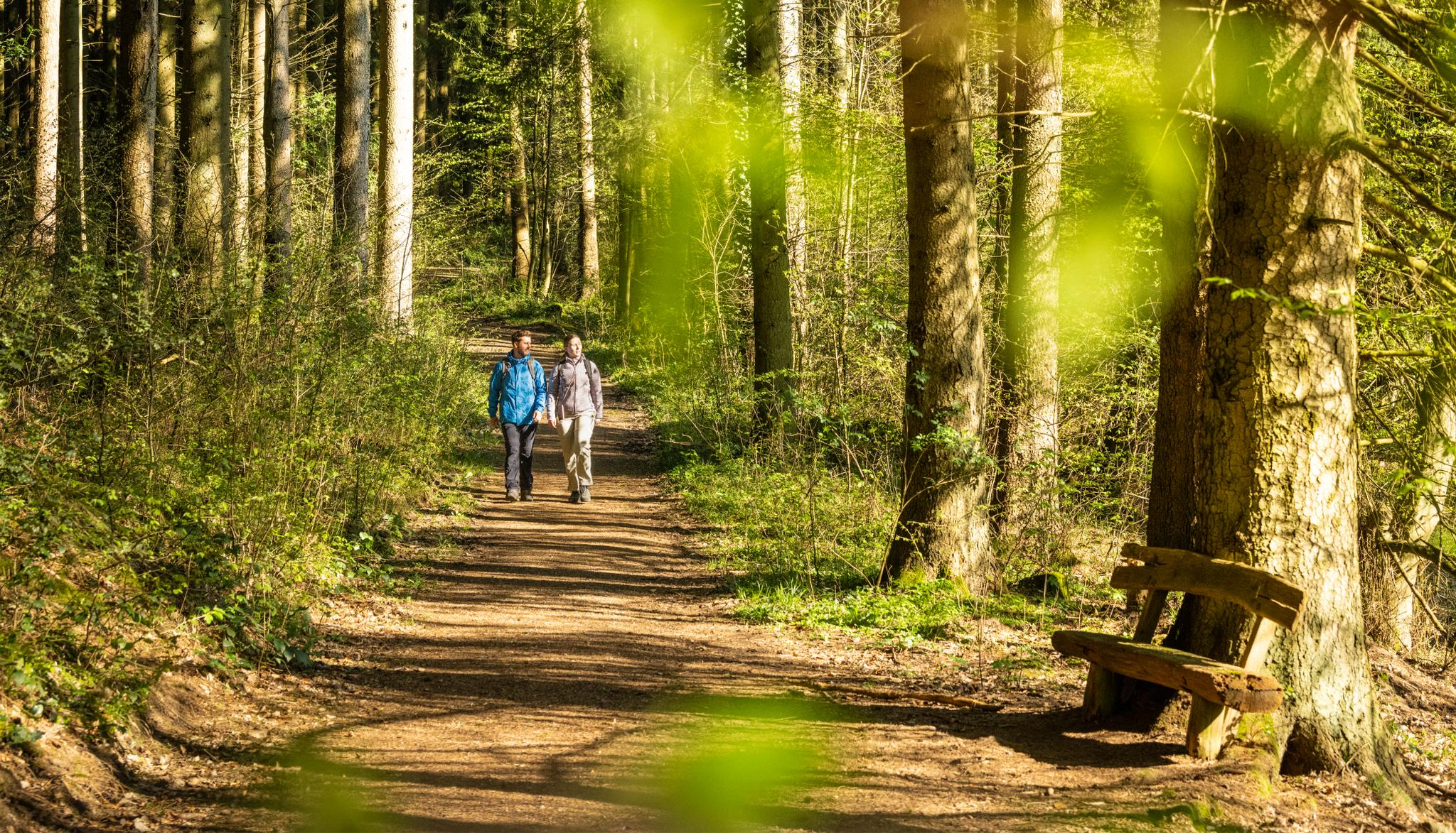
Easy hiking trails in Zweifaller Und Rotter Wald traverse a significant natural landscape characterized by diverse forests, stream valleys, and moorland complexes. This extensive nature reserve, spanning approximately 2,659 hectares, features old-growth beech and oak forests, as well as mixed woodlands. The terrain includes deeply cut stream valleys like the Hasselbachgraben, which often present lush vegetation and varied path conditions.
Best easy hiking trails in Zweifaller Und Rotter Wald
- The most popular easy hiking route is Hasselbachgraben Stream Trail –…
Last updated: November 11, 2026
4.8
(43)
171
hikers
3.18km
00:50
30m
30m
Easy hike. Easily walkable paths.
4.5
(6)
32
hikers
5.37km
01:27
70m
70m
Easy hike. Easily walkable paths.

4.7
(81)
256
hikers
Easy hike. Easily walkable paths.
4.7
(30)
119
hikers
Easy hike. Easily walkable paths.
4.8
(26)
64
hikers
4.94km
01:24
110m
110m
Easy hike. Easily walkable paths.
Get access to more routes and recommendations from other explorers.
Already have an account?
Our route recommendations are based on thousands of hikes, rides, and runs completed by other people on komoot.
Start today with a free account
Your next adventure awaits.
Popular around Zweifaller Und Rotter Wald

Tips from the Community

A very beautiful trail made technical by the presence of numerous roots and stones
1
0
This metal bridge is located in a pleasant and very pretty corner of the forest.
2
0
The ground is certainly very spongy to have built these boardwalks.
2
1

In view of the (in the worst sense of the word 'brand'-)current headlines about the devastating fire in the Hürtgenwald, the extent of which has so far reached unimaginable dimensions in Germany, I recommend a film documentary in the ARD media library. It sheds light on the background and poses the exciting question: 'What comes after the forest fire?' If interested, see =>> https://www.ardmediathek.de/video/auf-spurensuche-oder-ard-wissen/was-kommt-nach-dem-waldbrand/mdr/Y3JpZDovL21kci5kZS9iZWl0cmFnL2Ntcy8yNTU5M2JlZC03MzIwLTRmZmEtYjYzMy1hNmNmMjg5OTJkNzU
0
0

A nice trail, also very doable for the gravel bike
0
0


The Omerbach stream, flowing here, is approximately eleven kilometers long and is a tributary of the Inde. It originates at the Gottfriedkreuz between Stolberg-Vicht and Wehetalsperre in the Hürtgenwald state forest.
1
0

Walking map and information boards of the area in which you are located.
3
0
Frequently Asked Questions
How many easy hiking trails are available in Zweifaller Und Rotter Wald?
There are 43 easy hiking trails in Zweifaller Und Rotter Wald, offering a variety of experiences through its diverse forests and stream valleys. In total, the region features over 100 hiking routes for various skill levels.
What kind of terrain can I expect on easy hikes in Zweifaller Und Rotter Wald?
Easy hikes in Zweifaller Und Rotter Wald feature diverse terrain, including gravel paths, loose ground, and some paved sections. You might also encounter narrow, root-laden paths, particularly along stream valleys like the Hasselbachgraben, adding to the natural feel of the landscape.
Are there any circular routes suitable for easy hiking?
Yes, the region offers several easy circular routes. A popular option is the Hasselbachgraben Stream Trail – Hasselbachgraben Forest Trail loop from Laubwald am Hasselbachgraben, which is 5.1 km long. Another well-liked circular path is the Struffelt Boardwalk – Struffelt Heath loop from Rott, spanning 4.9 km and featuring varied terrain including boardwalk sections.
What natural features or landmarks can I see on an easy hike?
The Zweifaller Und Rotter Wald is rich in natural beauty and unique landmarks. You can visit the Struffelt Pond, especially scenic at dusk, or discover the legendary Potato Tree, a historic chestnut tree. Other points of interest include the Dragonfly Pond at Solchbach and various deeply cut stream valleys.
Are the easy trails in Zweifaller Und Rotter Wald suitable for families with children?
Yes, many easy trails in Zweifaller Und Rotter Wald are suitable for families. The diverse forests and stream valleys offer engaging environments for children to explore. Routes like the Struffelt Boardwalk – Struffelt Heath loop from Rott, with its boardwalk sections, can be particularly interesting for younger hikers.
What is the best time of year to go hiking in Zweifaller Und Rotter Wald?
The Zweifaller Und Rotter Wald is beautiful year-round. Spring brings lush greenery and blooming flora, while autumn offers vibrant fall colors in the diverse beech and oak forests. Summer provides pleasant conditions for shaded walks, and even winter can be magical with snow-covered landscapes, though some paths might be more challenging.
What do other hikers say about the easy trails in this region?
The easy trails in Zweifaller Und Rotter Wald are highly regarded by the komoot community, with an average rating of 4.7 stars from over 1,800 reviews. Hikers often praise the quiet woodlands, the scenic stream valleys, and the well-maintained paths that make for a pleasant outdoor experience.
Are there any specific trails that highlight the region's unique forest types?
Yes, the region is known for its diverse forests. Trails like the Hubertus Hut – Wolfsfarm hiking car park loop from Oberlauf des Omerbaches take you through various forest types, including old-growth beech and oak forests, as well as mixed woodlands, showcasing the ecological richness of the nature reserve.
Can I find any shelters or huts along the easy hiking routes?
Yes, there are shelters and huts in the region that can be found along some routes. For example, the Hubertus Hut and the At Gottfriedskreuz Shelter are notable spots that can provide a resting point during your hike.
Is public transport available to access the hiking trails in Zweifaller Und Rotter Wald?
The Zweifaller Und Rotter Wald is located near Roetgen and Aachen. While specific public transport stops directly at trailheads may vary, you can typically reach nearby towns like Zweifall or Rott via regional bus services, from where you can access the trail network.
Are there any specific easy trails that feature boardwalks?
Yes, the Struffelt Boardwalk – Struffelt Heath loop from Rott is an excellent option if you're looking for trails with boardwalk sections. This 4.9 km route offers a unique walking experience through the Struffelt Heath.
Most popular routes in Zweifaller Und Rotter Wald
Most popular attractions in Zweifaller Und Rotter Wald

Get inspired with the komoot mobile app


Explore more
Browse the best Hikes in other regions.
