Easy hikes and walks in Weesener Bach
4.5
(9633)
31,943
hikers
39
hikes
Easy hiking trails in Weesener Bach traverse a protected nature reserve in Lower Saxony, Germany, characterized by its ecologically significant stream, the Weesener Bach. The landscape features an almost natural stream ecosystem, with banks and water meadows supporting diverse flora and fauna. Originating in the Südheide Nature Park, the area offers predominantly flat terrain, making it suitable for accessible walks alongside the stream and through surrounding natural areas. Historical features like the Lutterbach Watermill add cultural interest to the natural…
Last updated: October 3, 2026
5.0
(2)
23
hikers
7.66km
01:58
40m
40m
Easy hike. Great for any fitness level. Easily-accessible paths. Suitable for all skill levels.
4.4
(5)
10
hikers
Easy hike. Great for any fitness level. Easily-accessible paths. Suitable for all skill levels.

4.4
(5)
10
hikers
2.54km
00:39
0m
10m
Easy hike. Great for any fitness level. Easily-accessible paths. Suitable for all skill levels.
4.5
(6)
12
hikers
2.46km
00:37
10m
10m
Easy hike. Great for any fitness level. Easily-accessible paths. Suitable for all skill levels.
4.0
(2)
11
hikers
Easy hike. Great for any fitness level. Easily-accessible paths. Suitable for all skill levels.
Get access to more routes and recommendations from other explorers.
Already have an account?
Our route recommendations are based on thousands of hikes, rides, and runs completed by other people on komoot.
Start today with a free account
Your next adventure awaits.
Popular around Weesener Bach
Other adventures in Weesener Bach

Tips from the Community

Path along a moor meadow
0
0
It is worth hiking the Heideschleife loop to the Tiefental and the Eicksberg.
0
0

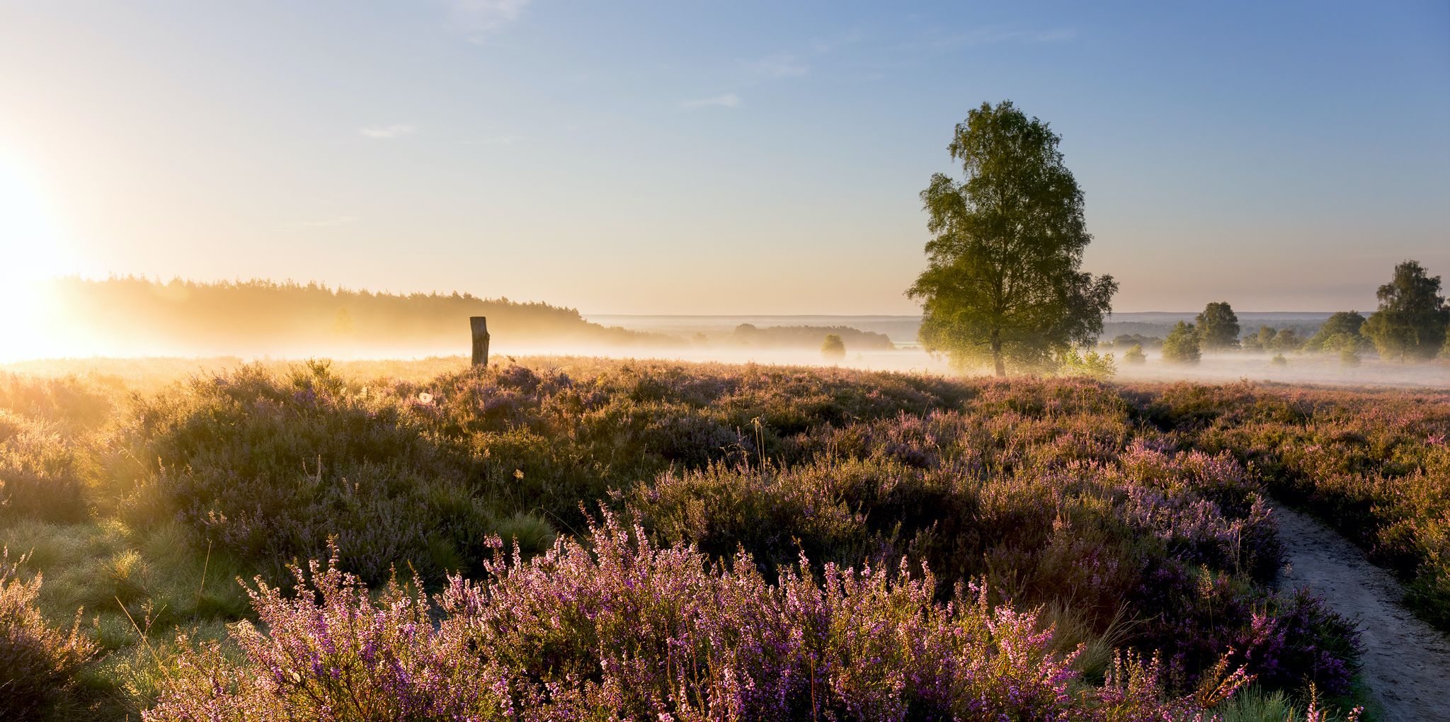
Heath can also be lush green.
0
0

You can book forest and heath yoga at: https://www.lueneburger-heide.de/natur/landschaftsfuehrungen/0100315303/wald-und-heideyoga.html#/
0
0
From here you can participate in forest and heath yoga every first Friday of the month from March to October from 4 PM to 5:30 PM!
0
0

Simple hotel on the roadside... perfect for an overnight stay on a multi-day tour... otherwise the restaurant is suitable for a refreshment
1
0
Small place in the Südheide... a restaurant, otherwise nothing earth-shattering
1
0
For the stage change 11/12 of the Heidschnuckenweg, hikers will find route information here again.
1
0
Frequently Asked Questions
How many easy hiking trails are available in Weesener Bach?
There are 15 easy hiking trails in Weesener Bach, offering a variety of options for relaxed walks through the nature reserve.
What kind of terrain can I expect on easy hikes in Weesener Bach?
Easy hikes in Weesener Bach primarily feature flat terrain, following the course of the stream and winding through water meadows and natural areas. The paths are generally well-suited for accessible walks.
Are there any historical landmarks or points of interest along the easy trails?
Yes, a significant historical landmark is the Lutterbach Watermill, a sawmill that has been operating since 1757. You can explore its history and the surrounding area, which is a popular day-trip destination. Another related highlight is the Luttermühle.
Can I find circular routes for easy hiking in Weesener Bach?
Yes, many of the easy trails are circular. For example, the Weesen Village – Hotel Im Wiesengrund loop from Weesen is a gentle 2.4 km circular route, and the Village square with water pump – Lutterloh Picnic Area loop from Südheide offers a 4.0 km loop through varied natural surroundings.
What natural features can I observe while hiking in Weesener Bach?
The Weesener Bach is a designated nature reserve, known for its almost natural and healthy stream ecosystem. You can observe the Weesener Brook itself, which boasts excellent water quality and supports diverse wildlife, including brown trout, bullhead, and the kingfisher. The banks and water meadows are home to many endangered plant and animal species.
Is Weesener Bach suitable for family-friendly hikes?
Absolutely. The predominantly flat and easy trails, combined with the tranquil nature reserve environment and points of interest like the Lutterbach Watermill, make Weesener Bach ideal for family outings. The Wading pool on the Weesener Bach is also a popular spot for families.
Are dogs allowed on the easy hiking trails in Weesener Bach?
As a nature reserve, specific rules regarding dogs may apply to protect the sensitive ecosystem. While dogs are generally welcome on trails, it is advisable to keep them on a leash to prevent disturbance to wildlife, especially given the presence of rare species.
What do other hikers say about the easy trails in Weesener Bach?
The easy trails in Weesener Bach are highly regarded by the komoot community, with an average rating of 4.7 out of 5 stars from over 80 reviews. Hikers often praise the peaceful atmosphere, the beauty of the stream, and the well-maintained paths suitable for all ages.
Where can I find parking for easy hikes near the Weesener Bach?
Parking is typically available near popular starting points for trails, such as in the village of Weesen or close to the Lutterbach Watermill. Specific parking information can often be found on individual route descriptions on komoot.
Are there any longer easy routes that explore more of the area?
Yes, for a slightly longer easy walk, consider the Lutterbach water-treading spot – Wading at the Weesener Brook loop from Hermannsburg, which is 5.9 km long and allows you to explore more of the Weesener Bach's natural beauty.
What is the best time of year to visit Weesener Bach for easy hikes?
Weesener Bach offers pleasant hiking experiences throughout the year. Spring brings blooming flora, summer provides lush greenery, and autumn showcases vibrant colors. The stream's 'summer-cold' characteristic makes it refreshing even on warmer days. Winter can also be beautiful, offering tranquil, snow-dusted landscapes.
Are there any facilities like cafes or restaurants near the easy hiking trails?
The village of Weesen, located along the Weesener Bach, offers options for refreshments and meals. The area around the Lutterbach Watermill is also a popular day-trip destination, which may include facilities for visitors.
Most popular routes in Weesener Bach
Most popular attractions in Weesener Bach

Get inspired with the komoot mobile app


Explore more
Browse the best Hikes in other regions.
