Easy hikes and walks in Hochwasserrückhaltebecken Alfhausen-Rieste
4.5
(2946)
12,000
hikers
634
hikes
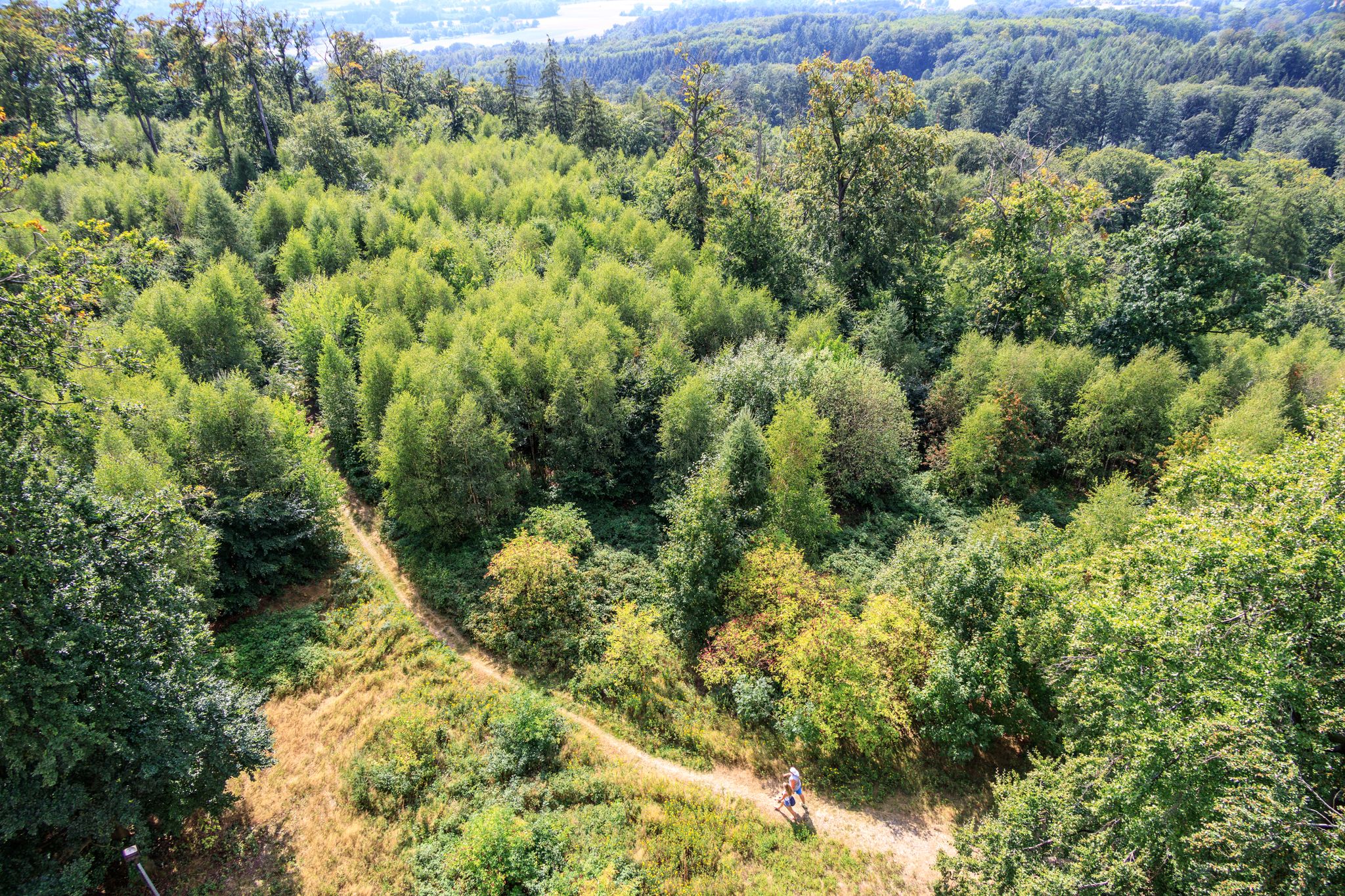
Hiking in Hochwasserrückhaltebecken Alfhausen-Rieste offers a diverse landscape characterized by extensive water bodies, including the Alfsee, a main basin, and a reserve basin. The area features greenlands, forests, and gentle hills, providing varied terrain for easy hiking trails. Designated as a nature reserve and an EU bird sanctuary, the region is an important habitat for waterfowl and other bird species. Walkable dams surrounding the basins offer long trails with views over the water.
Best easy hiking trails in Hochwasserrückhaltebecken Alfhausen-Rieste
…Last updated: August 10, 2026
4.5
(131)
495
hikers
Easy hike. Great for any fitness level. Easily-accessible paths. Suitable for all skill levels.
4.6
(74)
280
hikers
Easy hike. Great for any fitness level. Easily-accessible paths. Suitable for all skill levels.

Sign up for free
5.0
(8)
45
hikers
Easy hike. Great for any fitness level. Easily-accessible paths. Suitable for all skill levels.
4.1
(15)
103
hikers
4.69km
01:11
10m
10m
Easy hike. Great for any fitness level. Easily-accessible paths. Suitable for all skill levels.
21
hikers
2.58km
00:39
10m
10m
Easy hike. Great for any fitness level. Easily-accessible paths. Suitable for all skill levels.
Get access to more routes and recommendations from other explorers.
Sign up for free
Already have an account?
Our route recommendations are based on thousands of hikes, rides, and runs completed by other people on komoot.
Start today with a free account
Your next adventure awaits.
Login or Signup
Popular around Hochwasserrückhaltebecken Alfhausen-Rieste
Other adventures in Hochwasserrückhaltebecken Alfhausen-Rieste

Tips from the Community

Very nice path along the Hase, totally idyllic 😍
0
0

It's a nice, quiet place to walk around, especially in the morning.
0
0


The Alfsee was artificially created to regulate the water level of the Hase River and to facilitate agriculture in the Hase floodplains. This recreational lake is dammed by this dam. From here, you have a fantastic view of the large reservoir. Walking across the dam is definitely worth it.
0
0
A popular refuge for waterfowl of all kinds. Since the area is also quite wooded, it's not possible to see deep into the reserve basin from every corner. Depending on the wildlife activity, the path along the dike can be quite lengthy.
0
0

very well located, directly on the lake
0
0

Alfsee, located southeast of Alfhausen, a few hundred meters east of the B 68, can be reached from this federal highway and from the Neuenkirchen-Vörden junction of the A 1, which runs just to the east. Rieste train station, served hourly from Bremen (via Delmenhorst) and Osnabrück, is only about 1,800 meters from Alfsee.
0
0
A small shelter or birdwatching hut offers a good sheltered spot for a break. There are information boards, and the view extends over the water.
0
0
Frequently Asked Questions
How many easy hiking trails are available in Hochwasserrückhaltebecken Alfhausen-Rieste?
The Hochwasserrückhaltebecken Alfhausen-Rieste area offers a wide selection of easy hiking trails, with over 400 routes suitable for various ability levels. These trails allow you to explore the diverse water landscapes, greenlands, and forests of the region.
What kind of natural features and viewpoints can I expect to see on easy hikes?
The region is characterized by its extensive water bodies, including the Alfsee, a main basin, and a reserve basin. You can enjoy panoramic views from the walkable dams surrounding these basins, especially from the Alfsee Overflow Weir and the Alfsee South Dam. The area is also a significant EU bird sanctuary, offering opportunities for birdwatching.
Are the easy hiking trails in Hochwasserrückhaltebecken Alfhausen-Rieste suitable for families with children?
Yes, many of the easy hiking trails are family-friendly. The region features a 'Natur-Spielstraße' (nature play street) with 13 stations designed for children to move and discover nature, making it an engaging experience for younger hikers.
Can I bring my dog on the easy hiking trails?
While the region is a nature reserve and an important bird sanctuary, dogs are generally welcome on leashes on most public trails. Always check local signage for specific restrictions, especially in sensitive wildlife areas around the Alfsee Reserve Basin Nature Reserve.
Are there circular routes available for easy hikes?
Yes, the area offers several excellent circular routes. A popular option is the North shore of the Alfsee – Viewpoint Reserve Basin Alfsee loop from Rieste, which is about 7.6 km long. Another favorite is the Viewpoint Reserve Basin Alfsee loop from Hochwasserrückhaltebecken Alfhausen-Rieste, covering 4.7 km.
What is the best time of year to go hiking in Hochwasserrückhaltebecken Alfhausen-Rieste?
The Hochwasserrückhaltebecken Alfhausen-Rieste is beautiful year-round. Spring and autumn offer pleasant temperatures and vibrant natural colors, while summer is ideal for enjoying the water features. The area is also a significant mauser, transit, rest, and wintering ground for waterfowl, making it particularly interesting for birdwatching during migration seasons.
How long do easy hikes typically take in this region?
Easy hikes in Hochwasserrückhaltebecken Alfhausen-Rieste vary in length and duration. For example, the Brückenterrasse Kart Track – Alfsee Campsite loop from Hochwasserrückhaltebecken Alfhausen-Rieste is about 3.6 km and takes approximately 55 minutes. Longer routes like the North shore of the Alfsee – Viewpoint Reserve Basin Alfsee loop from Rieste (7.6 km) can take around 1 hour 54 minutes.
What do other hikers enjoy most about hiking in Hochwasserrückhaltebecken Alfhausen-Rieste?
The area is highly rated by the komoot community, with an average score of 4.5 stars from over 2,100 reviews. Hikers often praise the diverse water landscapes, the well-maintained trails along the dams, and the abundant opportunities for birdwatching in this significant nature reserve.
Are there any specific trails for birdwatching?
The entire Hochwasserrückhaltebecken Alfhausen-Rieste is an EU bird sanctuary, making almost any trail suitable for birdwatching. There is a dedicated bird observation hut with windows and information boards, providing ideal conditions to spot various waterfowl, including cormorants, swans, and ducks.
Are there any educational facilities or visitor centers in the area?
Yes, the Natur- und Umweltbildungszentrum (NBZ Alfsee) offers an exhibition focused on the birdlife within the EU bird sanctuary around the Alfsee, providing interactive ways to learn about nature. Additionally, the Biologische Station Haseniederung e.V. is active in promoting biodiversity and environmental education.
What are the main characteristics of the terrain on easy hikes?
The terrain around Hochwasserrückhaltebecken Alfhausen-Rieste is generally flat and easy, characterized by gentle hills, greenlands, and forests. The trails often follow the walkable dams surrounding the water basins, providing smooth paths with minimal elevation changes, perfect for relaxed walks.
Is parking available near the easy hiking trails?
Yes, there are various parking options available around the Hochwasserrückhaltebecken Alfhausen-Rieste, especially near popular starting points for trails and attractions like the Alfsee. Specific parking details can often be found on individual route pages.
Most popular routes in Hochwasserrückhaltebecken Alfhausen-Rieste
Most popular attractions in Hochwasserrückhaltebecken Alfhausen-Rieste

Get inspired with the komoot mobile app


Explore more
Browse the best Hikes in other regions.
