Easy hikes and walks in Buurserzand & Haaksbergerveen
4.5
(11645)
46,228
hikers
80
hikes
Easy hiking trails in Buurserzand & Haaksbergerveen traverse a diverse landscape in the Dutch province of Overijssel, near the German border. The region combines the Buurserzand, a heathland with wet and dry heath, juniper bushes, and low sand dunes, with the Haaksbergerveen, a significant remnant of a raised bog featuring peat pits and recovering bog ecosystems. This area is characterized by varied terrain, including heath, forest, and unique bog formations, offering accessible routes for hikers.
Best easy hiking trails in…
Last updated: May 19, 2026
4.7
(355)
1,061
hikers
7.57km
01:55
10m
10m
Easy hike. Great for any fitness level. Easily-accessible paths. Suitable for all skill levels.
4.7
(133)
608
hikers
Easy hike. Great for any fitness level. Easily-accessible paths. Suitable for all skill levels.

Sign up for free
4.7
(130)
405
hikers
Easy hike. Great for any fitness level. Easily-accessible paths. Suitable for all skill levels.
4.7
(178)
525
hikers
Easy hike. Great for any fitness level. Easily-accessible paths. Suitable for all skill levels.
4.6
(50)
148
hikers
Easy hike. Great for any fitness level. Easily-accessible paths. Suitable for all skill levels.
Get access to more routes and recommendations from other explorers.
Sign up for free
Already have an account?
Our route recommendations are based on thousands of hikes, rides, and runs completed by other people on komoot.
Start today with a free account
Your next adventure awaits.
Login or Signup
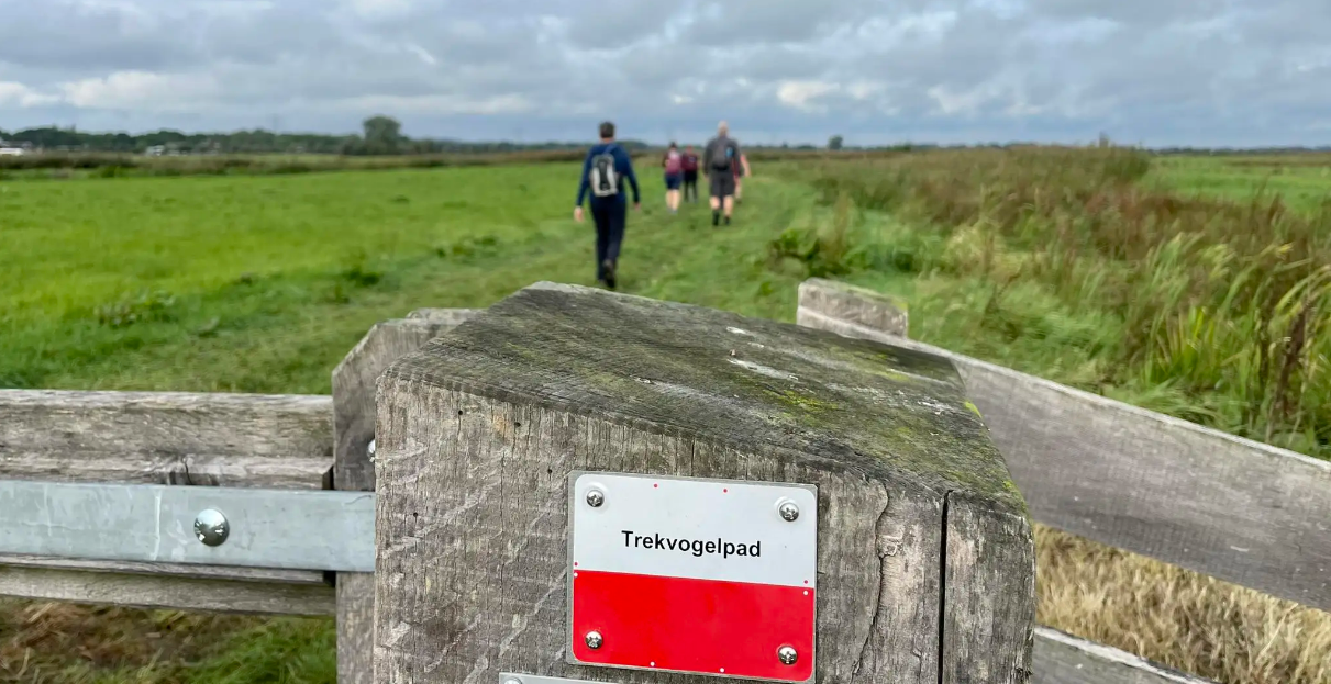
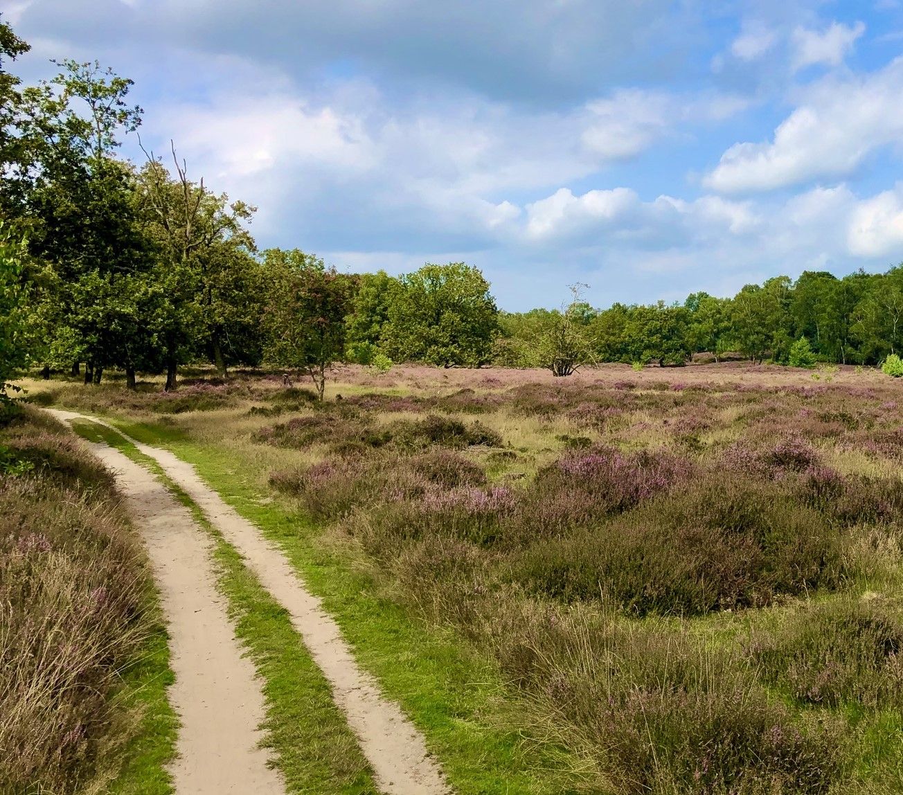
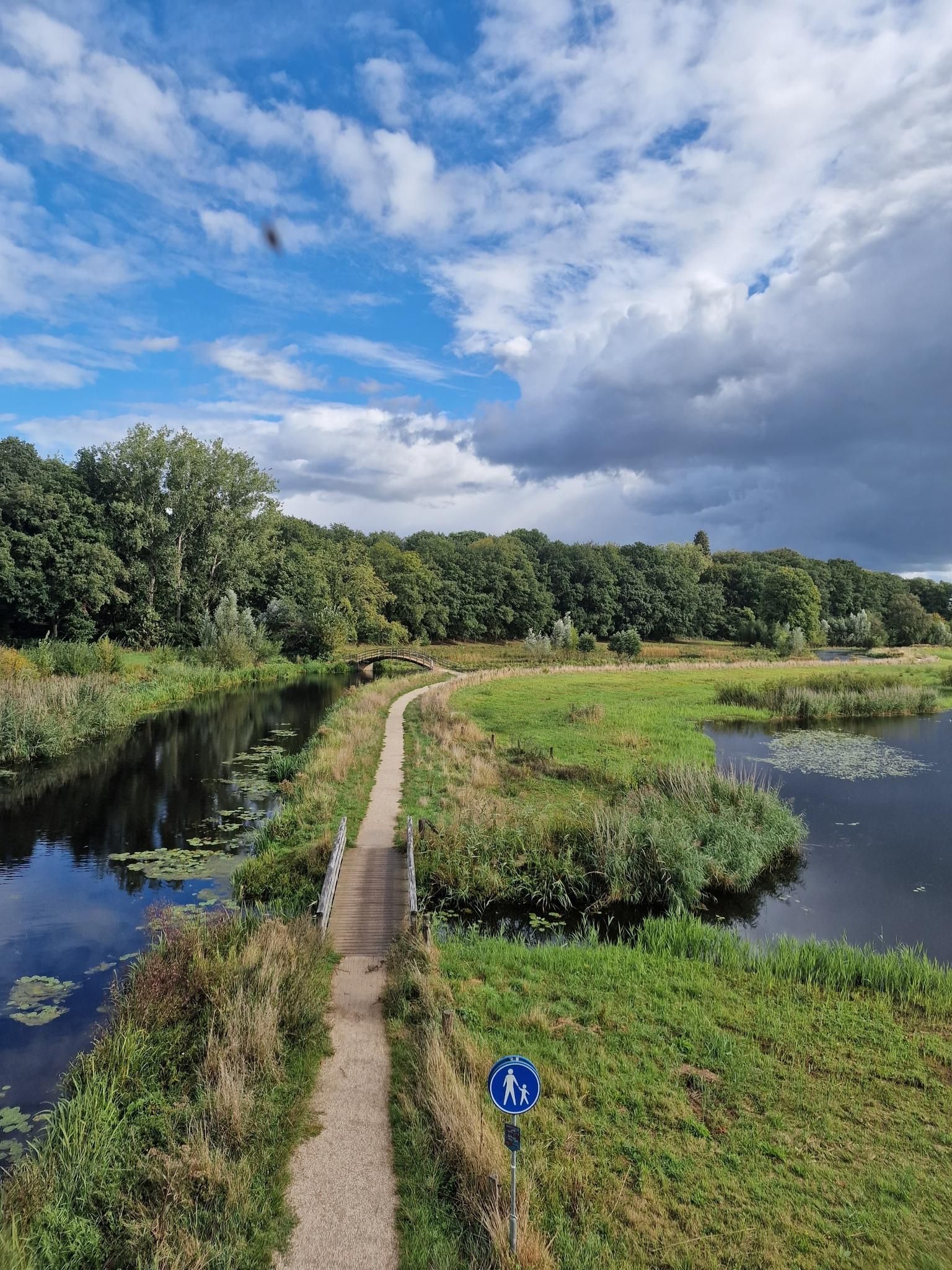
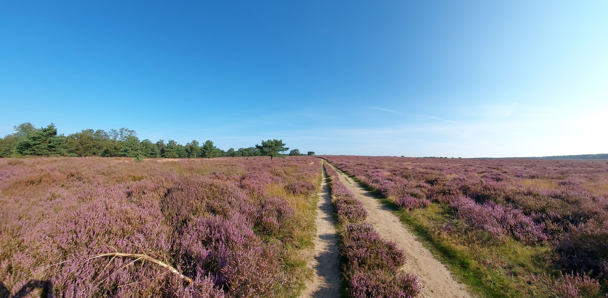
Other adventures in Buurserzand & Haaksbergerveen


Tips from the Community


Watch out for crossing cows!
1
0


You can see huge juniper bushes.
0
0
Tukkerse Tokkie Language 🤣
0
0
Birdwatchers
0
0
Paparazzi jetty
0
0
Frequently Asked Questions
How many easy hiking trails are available in Buurserzand & Haaksbergerveen?
There are nearly 60 easy hiking trails in Buurserzand & Haaksbergerveen, offering a wide range of options for relaxed walks through the diverse landscape.
What kind of terrain can I expect on easy hikes in Buurserzand & Haaksbergerveen?
Easy hikes here feature a mix of landscapes, including expansive heathlands, unique raised bog ecosystems, and patches of forest. You'll find well-maintained paths, and some areas, particularly in the Haaksbergerveen, include boardwalks over wetter sections.
Are there any family-friendly easy hikes in the area?
Yes, many of the easy trails are suitable for families. The varied terrain and opportunities for wildlife spotting make for an engaging experience. Consider routes like the De Bommelas Farmhouse – Boundary Stone at Buurserzand loop from TIP Buurserzand, which passes by historic elements.
Can I bring my dog on the easy hiking trails?
Buurserzand & Haaksbergerveen is generally dog-friendly, but it's important to keep dogs on a leash, especially in nature reserves, to protect wildlife and sensitive ecosystems. Always check local signage for specific rules on individual trails.
What are the typical lengths and durations of easy hikes in Buurserzand & Haaksbergerveen?
Easy hikes in this region typically range from 3 to 5 miles (5 to 8 km) and can be completed in about 1.5 to 2 hours, depending on your pace. For example, the Haaksbergerveen Heath – Haaksbergerveen loop from Ammeloer Venn is 4.7 miles (7.6 km) and takes around 1 hour 54 minutes.
Are there circular easy hiking routes available?
Yes, many of the easy trails in Buurserzand & Haaksbergerveen are circular, allowing you to start and end at the same point. The Haaksbergerveen – Haaksbergerveen Boardwalk loop from Ammeloer Venn is a popular circular option.
What natural features or landmarks can I see along the easy trails?
You can explore diverse natural features like the wet and dry heathlands of Buurserzand, the unique raised bog of Haaksbergerveen, and shallow lakes known as 'vennen'. Historic elements include the farm 'De Bommelas' and an old border marker. For scenic views, look for viewpoints such as Viewpoint near the lakes.
Where can I park when visiting Buurserzand & Haaksbergerveen for a hike?
Designated parking areas are available at common starting points for trails, such as near TIP Buurserzand or Ammeloer Venn. These spots provide convenient access to the trailheads.
Are there any cafes or places for refreshments near the hiking trails?
Yes, the 'De Wakel' cafe is a welcoming stop where visitors can enjoy coffee and apple pie. It's often conveniently located near trail access points, such as the starting point for the De Wakel Visitor Center – Buurserzand Trail through the Heath loop from TIP Buurserzand.
What is the best time of year to go hiking in Buurserzand & Haaksbergerveen?
The region offers beauty year-round. Spring brings blooming wildflowers, while late summer (August/September) is ideal for experiencing the vibrant purple heath in full bloom. Autumn offers rich colors, and even winter walks can be serene. The wet heathlands and bogs are particularly unique in their natural state during wetter seasons.
What kind of wildlife can I spot on an easy hike?
Buurserzand is rich in wildlife, offering opportunities to spot roe deer, especially during early mornings or at sunset. Birdwatchers can look for ducks, geese, and coots, particularly at viewpoints like Rietschot and Steenhaarplassen. The Haaksbergerveen is home to rare aquatic species such as the European weather loach and moor frog.
What do other hikers enjoy most about the easy trails in Buurserzand & Haaksbergerveen?
The area is highly rated by the komoot community, with an average score of 4.6 stars. Reviewers often praise the diverse and unique landscapes, the tranquility of the heath and bog, and the well-maintained paths that make for an enjoyable and accessible outdoor experience.
Most popular routes in Buurserzand & Haaksbergerveen
Most popular attractions in Buurserzand & Haaksbergerveen

Get inspired with the komoot mobile app


Explore more
Browse the best Hikes in other regions.
