Easy hikes and walks around Lasalle
4.8
(111)
1,369
hikers
43
hikes
Easy hiking trails around Lasalle are primarily found within the region's state parks, characterized by unique geological formations. The landscape features sandstone canyons, bluffs, and seasonal waterfalls, shaped by the Illinois and Vermilion Rivers. These natural elements create a diverse terrain for outdoor activities, offering a variety of easy routes.
Best easy hiking trails around Lasalle
- The most popular easy hiking route is French Canyon, Lover's Leap, & Wildcat Canyon loop — Starved Rock State Park, a 3.1 miles…
Last updated: August 10, 2026
1.41km
00:23
10m
30m
Easy hike. Great for any fitness level. Easily-accessible paths. Suitable for all skill levels.
1
hikers
598m
00:10
10m
0m
Easy hike. Great for any fitness level. Easily-accessible paths. Suitable for all skill levels.

Sign up for free
5.0
(5)
88
hikers
5.01km
01:23
90m
90m
Easy hike. Great for any fitness level. Easily-accessible paths. Suitable for all skill levels.
4.0
(1)
35
hikers
3.30km
00:54
40m
40m
Easy hike. Great for any fitness level. Easily-accessible paths. Suitable for all skill levels.
1
hikers
1.77km
00:29
20m
20m
Easy hike. Great for any fitness level. Easily-accessible paths. Suitable for all skill levels.
Get access to more routes and recommendations from other explorers.
Sign up for free
Already have an account?
Our route recommendations are based on thousands of hikes, rides, and runs completed by other people on komoot.
Start today with a free account
Your next adventure awaits.
Login or Signup
Popular around Lasalle
Tips from the Community


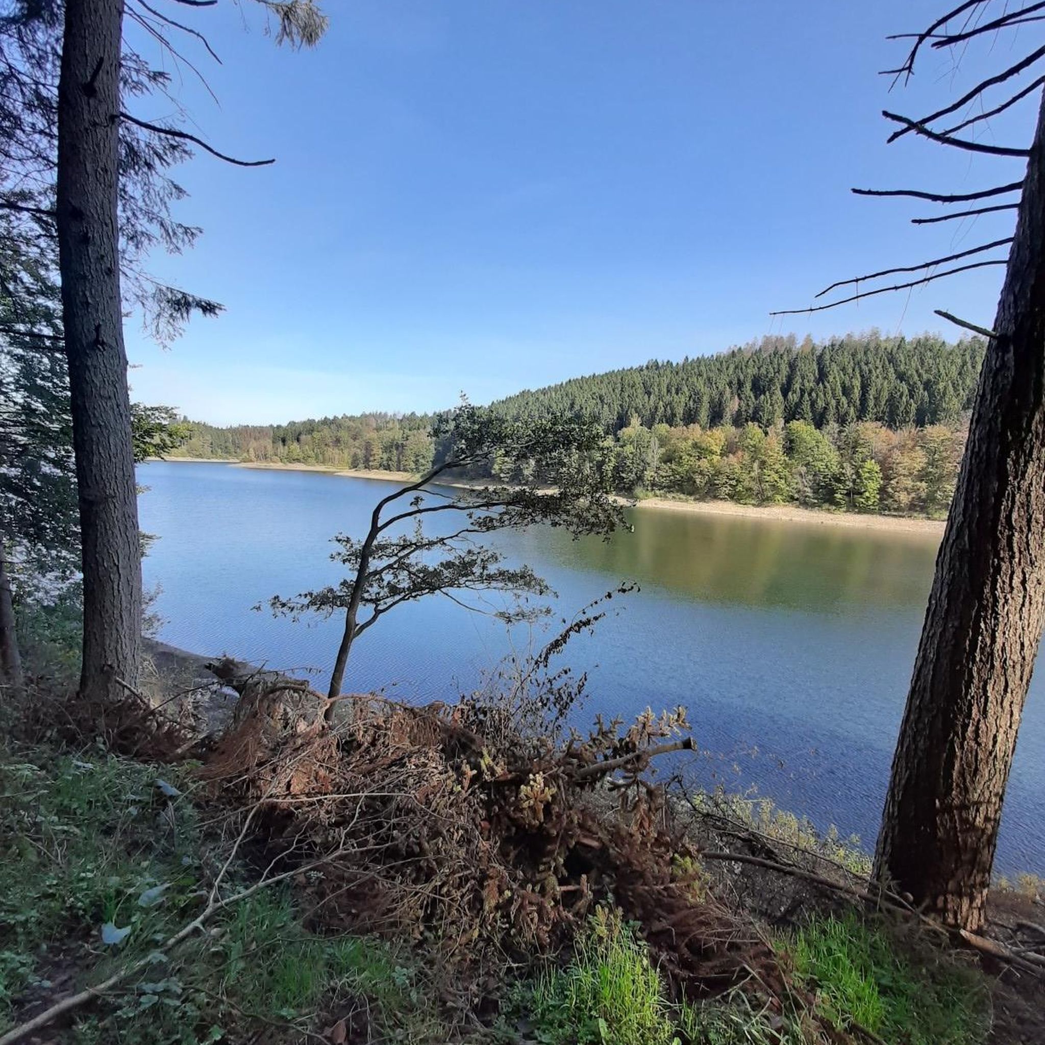
A beautiful view, but the number of locks is still very limited today
0
0
According to local legend, the Ottawa leader Pontiac was assassinated by a Peoria warrior in 1769. • In retaliation, the Ottawa and Potawatomi besieged a group of Illiniwek (Illinois Confederacy) entrenched on the rock. • The besieged starved to death, and thus the rock became known as "Starved Rock."
1
0

Steep staircase. Try to make this part of your hike going down. Going up can be quite challenging
0
0

From the eastern platform of Wildcat Canyon, you get a great view of the canyon and waterfall from above. With a height of 70 feet, Wildcat Canyon has the tallest waterfall in the park and is the deepest canyon (90 feet) as well. It is the only spot in Starved Rock State Park where ice climbing is allowed in wintertime.
0
0
Lover's Leap Overlook lies at the loop of the same name and offers nice views of the Illinois River. Furthermore, you can see 'Lover's Leap' that relates to two lovers from different tribes who couldn't be a couple and therefore decided to jump off one of the cliffs together.
0
0
If you arrived at the Visitor Center of Starved Rock State Park, French Canyon will be the closest canyon and therefore the shortest hike you can do. Thanks to its shortness, it's the perfect walk for families and inexperienced hikers. But be aware, that you'll be climbing a lot of stairs.
0
0
Frequently Asked Questions
How many easy hiking trails are available in LaSalle County?
LaSalle County offers a wide selection of outdoor experiences, with over 25 easy hiking trails. These routes are primarily found within the region's state parks, providing accessible options for various ability levels.
What natural features can I expect to see on easy hikes in LaSalle County?
Easy hikes in LaSalle County showcase unique geological formations. You'll encounter dramatic sandstone canyons, bluffs, and river valleys shaped by the Illinois and Vermilion Rivers. Many trails feature seasonal waterfalls, especially vibrant in spring or after heavy rainfall, and diverse flora.
Are there easy trails that feature waterfalls in LaSalle County?
Yes, several easy trails lead to impressive waterfalls. For example, the Saint Louis Canyon — Starved Rock State Park trail takes you to a notable canyon with a seasonal waterfall. You can also explore areas near La Salle Canyon Waterfall or Cascade Falls in Matthiessen State Park.
What is the typical length and duration of easy hikes in LaSalle County?
Easy hikes in LaSalle County generally range from 1 to 3 miles (1.6 to 4.8 km) and can typically be completed in about 1 to 1.5 hours. For instance, the Matthiessen State Park loop is about 2.5 miles (4.0 km) and takes around 1 hour 3 minutes.
Are there family-friendly easy hikes in LaSalle County?
Absolutely. Many easy trails in LaSalle County are suitable for families. State parks like Starved Rock and Matthiessen offer well-maintained paths through scenic canyons and along rivers, providing engaging experiences for all ages. These trails often feature interesting rock formations and wildlife viewing opportunities.
Can I find circular easy hiking routes in LaSalle County?
Yes, there are several circular easy hiking routes. A popular option is the French Canyon, Lover's Leap, & Wildcat Canyon loop — Starved Rock State Park, which is 3.1 miles (5.0 km) long and offers diverse canyon views.
What do other hikers enjoy most about easy hiking in LaSalle County?
The area is highly rated by the komoot community, with an average score of 4.7 stars. Reviewers often praise the unique sandstone canyons, the beauty of the seasonal waterfalls, and the well-maintained trails that make exploring the natural landscape accessible and enjoyable.
Are dogs allowed on the easy hiking trails in LaSalle County?
Most state parks in LaSalle County, including Starved Rock and Matthiessen, generally allow dogs on trails, provided they are kept on a leash. It's always best to check specific park regulations before your visit, as rules can vary.
Is parking available at the trailheads for easy hikes?
Yes, state parks like Starved Rock and Matthiessen, where many easy trails are located, offer ample parking facilities near their trailheads and visitor centers. This makes accessing the routes convenient for hikers.
What kind of wildlife can I spot on easy hikes in LaSalle County?
LaSalle County's diverse ecosystems support various wildlife. On easy hikes, you might spot deer, wild turkeys, and a variety of bird species. Buffalo Rock State Park is also home to two American bison, offering a unique viewing opportunity.
Are there any interesting landmarks or points of interest along these easy routes?
Yes, the region is rich in natural landmarks. You can visit Starved Rock itself, explore French Canyon, or enjoy the views from Lover's Leap Overlook. These sites are often accessible via easy trails and offer stunning natural beauty.
What is the best time of year for easy hikes in LaSalle County?
Spring is an excellent time for easy hikes, as seasonal waterfalls are at their fullest after snowmelt and rainfall. Fall offers beautiful foliage. Summer provides lush greenery, while winter can transform the canyons into icy wonders, though some trails may be more challenging due to ice.
Most popular routes around Lasalle
Most popular attractions around Lasalle

Get inspired with the komoot mobile app


Explore more
Browse the best Hikes in other regions.
