Easy hikes and walks in Alameda County
4.8
(507)
8,364
hikers
522
hikes
Easy hiking trails in Alameda County offer diverse landscapes for outdoor exploration within California's Bay Area. The region features a variety of natural environments, including redwood forests, serene lakes, and rolling hills. Hikers can experience ecosystems ranging from cool, moist redwood groves to open ridgetops with expansive bay views. The extensive park system provides well-maintained trails suitable for various skill levels.
Best easy hiking trails in Alameda County
- The most popular easy hiking route is East Shore and Heron Bay Trail Loop, a 3.3 miles (5.3 km) trail that takes 1 hour 37 minutes to complete. This route offers views of the bay and passes through natural habitats.
- Another top favourite among local hikers is East Ridge, Prince, and Stream Trail Loop, an easy 4.1 miles (6.6 km) path. This trail winds through varied terrain with moderate elevation changes.
- Local hikers also love the Old Creek to Western Pacific Trail, a 2.9 miles (4.7 km) trail leading through open areas, often completed in about 1 hour 12 minutes.
- Hiking in Alameda County is defined by redwood forests, lakes, and rolling hills, providing a range of natural settings. The extensive network offers options for different ability levels, with many easy hiking trails available.
- The routes in Alameda County are highly rated by the komoot community with an average score of 4.8 stars from over 400 reviews. More than 7,000 hikers have used komoot to explore Alameda County's varied terrain.
Last updated: July 22, 2026
5.0
(1)
32
hikers
5.27km
01:37
160m
210m
Embark on the East Shore and Heron Bay Trail Loop, an easy hike that offers diverse scenery within Del Valle Regional Park. You will traverse wide paths and single-track sections winding through shady oak clusters, providing a pleasant experience. The route spans 3.3 miles (5.3 km) with a gentle elevation gain of 518 feet (158 metres), and you can expect to complete it in about 1 hour and 37 minutes, making it accessible for many.
When planning your visit, be aware that cell phone service can be unreliable within Del Valle Regional Park, so it is a good idea to download your komoot tour offline before you arrive. Parking is conveniently available at the park entrance. If you plan to bring your dog, remember that while the trail is dog-friendly, some sections are exposed, which can be challenging on hot days.
This trail treats you to clear blue views of Lake Del Valle, set against a backdrop of golden-brown grassy hills and vibrant green oaks. As you hike along the ridgelines, you can enjoy panoramic vistas across the Tri-Valley, with Mount Diablo visible in the distance. Keep an eye out for local wildlife, including the chance to spot bald eagles, adding to the natural charm of this regional park experience.
5.0
(1)
27
hikers
4.70km
01:12
20m
20m
The Old Creek to Western Pacific Trail offers a delightful, easy hike through the Quarry Lakes Regional Recreation Area, perfect for a relaxed outing. You'll enjoy pleasant views of Rainbow Lake and Horseshoe Lake, with the unique history of a transformed gravel quarry providing an interesting backdrop. This 2.9 miles (4.7 km) route features minimal elevation gain of just 63 feet (19 metres), making it accessible for nearly everyone.
Planning your visit is straightforward for this easy trail, which typically takes about 1 hour and 12 minutes to complete. It's an excellent option for beginners and families, and you'll find it's dog-friendly (just keep your furry friend on a leash). The Western Pacific Trail portion also welcomes bikes, offering flexibility for different activities within the park.
This trail is part of a larger network within Quarry Lakes Regional Park, known for its accessible hiking routes and recreational opportunities. Horseshoe Lake, a highlight along the way, provides a great spot for a quick dip or a picnic, adding to the appeal of this family-friendly and dog-friendly destination.

Sign up for free
26
hikers
6.62km
01:54
140m
140m
Embark on the East Ridge, Prince, and Stream Trail Loop, an easy hiking route spanning 4.1 miles (6.6 km) within Reinhardt Redwood Regional Park. You will experience a gentle ascent of 471 feet (143 metres) over approximately 1 hours and 53 minutes, making it a pleasant outing for most hikers. The trail offers a delightful contrast, moving from open chaparral landscapes with distant mountain views to the cool, shaded depths of redwood forests along the Stream Trail.
When planning your visit, be aware that sections of the trail can become quite muddy following rain, so appropriate waterproof footwear is recommended. The East Ridge portion of the loop has exposed areas, so consider bringing sun protection on warmer days, especially if you are hiking during the summer months. This route is an excellent choice for beginner hikers, and you will find ample parking available at the trailhead.
This loop provides a refreshing escape into nature, combining diverse scenery with convenient access near an urban environment. As you hike along the Stream Trail, which follows Redwood Creek, keep an eye out for clusters of ladybugs often found near its junction with the Prince Trail. The dramatic shift from sun-drenched ridges to the deep shade of majestic redwoods makes this a particularly memorable and accessible local adventure.
5.0
(3)
24
hikers
4.38km
01:11
50m
60m
Embark on the Bridle and Stream Trail Loop for an easy hike through diverse natural environments. This 2.7-mile (4.4 km) route features a gentle elevation gain of 178 feet (54 metres), taking about 1 hour and 10 minutes to complete. As you hike, you'll transition from open views of surrounding hills to peaceful groves of majestic second and third-growth redwoods, some towering over 100 feet. Look for the 'emerald carpet of redwood sorrel' on the forest floor and pass through areas shaded by California Bay Laurel trees and oaks. The trail offers a refreshing escape into nature.
This loop is a popular choice for hikers and dog-walkers alike; your leashed canine companions are welcome to join you. You will find convenient amenities like picnic sites, water, and restrooms located near staging areas, such as the Canyon Meadow Staging Area. Remember to stay on the designated path, as poison oak is present along some sections of the trail. Planning your visit around these facilities can enhance your experience.
The Stream Trail section is particularly notable for its immersive experience within the towering redwood groves. These second and third-growth redwoods create a unique, serene atmosphere, distinct from other parts of the park. Keep an eye out for the Denil Fishway along the way, adding another point of interest to your journey. This trail offers a wonderful opportunity to connect with the natural heritage of the region.
5.0
(2)
18
hikers
4.34km
01:32
280m
180m
The Stonewall Panoramic Loop offers a fantastic journey through diverse terrain, starting with a steep ascent through a fragrant eucalyptus grove before opening up to ridgeline chaparral. You'll be treated to continuous, stunning Stonewall Peak panoramic views of the San Francisco Bay Area, including the Golden Gate Bridge and the Oakland and Berkeley skylines. Keep an eye out for diverse flora like California sagebrush oak and bay laurel, and perhaps even wildlife like coyotes or red-tailed hawks.
Planning your visit to the Stonewall Panoramic Loop parking and trailhead is straightforward, but be prepared for a vigorous workout. The 2.7-mile (4.3 km) route involves a significant 905 feet (276 metres) of elevation gain, taking about 1 hour and 31 minutes to complete. Much of the trail is exposed, so bring ample water, especially if you're hiking during warmer Stonewall Panoramic Loop weather. Early mornings or sunset offer the best light and fewer crowds.
This trail is notable for its blend of natural beauty and proximity to urban centers, providing some of the best views in the East Bay. While rated easy, the substantial elevation gain makes it a good challenge for many. It's a Stonewall Peak dog friendly trail, though leashes are required, and hikers should be mindful of ticks. Historically, the Claremont Canyon region was used by the Huchiun Ohlone Indians for hunting and gathering.
17
hikers
5.21km
01:32
160m
160m
The Pioneer Trail Loop offers a delightful escape into nature, perfect for a refreshing walk. This easy 3.2-mile (5.2 km) route guides you through gentle terrain, providing a pleasant journey with minimal effort. You'll experience a mix of packed earth and possibly some gravel paths, making it an ideal choice for a leisurely outing or a quick, invigorating hike that takes around 1 hour and 32 minutes.
Accessing the Pioneer Trail Loop is generally simple, with parking typically available near the trailhead. To ensure a smooth start, especially on weekends or during peak seasons, arriving earlier in the day is a good strategy. Remember to carry water, particularly if you're hiking during warmer weather, to stay comfortable throughout your 525 feet (160 metres) of elevation gain.
This trail is a popular choice for those seeking beginner hiking trails and family friendly hikes, offering a welcoming environment for all skill levels. Its manageable length and easy difficulty make it a great introduction to the outdoors or a consistent option for regular exercise in the Union City area.
5.0
(1)
11
hikers
4.38km
01:31
250m
240m
The Peak, Panorama and Spring Valley Trail offers a fantastic easy hike through the Mission Peak Regional Preserve, showcasing some of the best viewpoints in the Bay Area. You'll traverse varied terrain, from a doubletrack fire road on the Spring Valley Trail to a singletrack path on the Panorama Trail, which lives up to its name with expansive vistas. Look out for wildflowers in spring and keep an eye peeled for wild turkeys and cows as you enjoy the open grasslands and oak woodlands.
This 2.7-mile (4.4 km) route involves 827 feet (252 metres) of elevation gain and takes about 1 hour and 31 minutes to complete, making it a manageable option for many. Due to limited shade, remember to bring plenty of water, at least two liters per person, to stay hydrated. The trail is rated easy, but some sections can be rough underfoot, so sturdy shoes are a good idea.
This trail is a great way to experience the iconic Mission Peak area without committing to the strenuous summit climb. The preserve is a significant landmark for Fremont, and you might even spot hang gliders or paragliders soaring above. The rewarding panoramic views of the South Bay, including San Francisco and Silicon Valley, make this a highly regarded destination for outdoor enthusiasts.
9
hikers
3.42km
00:52
0m
10m
The Ken Mercer Sports Park Loop offers a wonderfully accessible and serene experience, guiding you through lush greenery and past large oak trees and vast grasslands. The paths are smooth and well-maintained, consisting of pavement, asphalt, and decomposed granite, creating a pleasant surface for a leisurely walk. This easy 2.1-mile (3.4 km) route, with its minimal 16 feet (5 metres) of elevation gain, is perfect for a quick 51-minute exercise session or a relaxing stroll.
Planning your visit to the Ken Mercer Sports Park Loop is straightforward, as it's integrated within a large community sports complex in Pleasanton. Parking is readily available, and you'll find convenient amenities like restrooms and picnic areas on site. The wide walkways are also very dog-friendly, and the park maintains a positive vibe, rarely feeling overly crowded, making it a great option for an impromptu outing.
What truly sets this trail apart is its seamless integration into an active community hub, offering more than just a walk. Beyond the peaceful paths, the park boasts extensive facilities including baseball fields, soccer fields, basketball courts, volleyball courts, a skateboard track, and playgrounds. This makes it an excellent location for families and individuals seeking an enjoyable outdoor activity with plenty of options for recreation.
9
hikers
2.74km
00:48
60m
90m
The Preserve Trail Loop offers an easy hiking experience through the scenic Gold Creek Open Space in Pleasanton, California. As you follow the path, you will find yourself amidst rolling hills and classic oak woodlands, providing open views of the surrounding landscape. This pleasant route covers 1.7 miles (2.7 km) with a gentle elevation gain of 202 feet (61 metres), making it a perfect choice for a quick outdoor escape that takes about 47 minutes to complete.
Planning your visit to the Preserve Trail Loop is straightforward. You can typically find general parking available at the Gold Creek Open Space trailhead, making it convenient for a spontaneous outing. There are no specific permits or fees required to enjoy this trail. However, it is always a good idea to check local conditions before you head out, especially if there has been extreme weather recently.
This family-friendly trail provides a tranquil setting, allowing you to connect with nature away from the city's hustle and bustle. It is particularly well-suited for beginner hikers or anyone looking for a peaceful walk. The Preserve Trail Loop stands out in the region for its accessible beauty and the serene atmosphere it offers within the natural environment of the open space.
5.0
(1)
8
hikers
5.83km
01:29
10m
10m
Embark on the Bay Trail Loop, an easy hiking route that offers refreshing views of the San Francisco Bay. This 3.6-mile (5.8 km) path, with a gentle elevation gain of just 36 feet (11 metres), is perfect for a leisurely outing. You can expect to complete the loop in about 1 hour and 28 minutes, making it an ideal choice for a quick escape into nature. As you walk, you'll pass through Emeryville Marina Park, where the water views are particularly expansive, and you might spot various bird species. The blend of natural beauty and urban backdrop creates a unique atmosphere.
Planning your visit to the Bay Trail Loop is straightforward, as the route is generally accessible for many users. While specific parking details for this particular segment are not detailed, the broader Bay Trail system often provides public transport connections, which you might consider. It's advisable to visit during pleasant weather conditions, as shade can be limited along certain parts of the trail. This ensures a more comfortable experience as you explore the waterfront.
This trail is nestled within McLaughlin Eastshore State Park, offering a unique opportunity to experience natural features alongside urban landscapes. A notable highlight along the route is the collection of waterfront sculptures found at Shorebird Park, adding an artistic touch to your walk. The Bay Trail Loop stands out as an accessible option for those seeking a quick outdoor adventure with diverse scenery and points of interest.
Get access to more routes and recommendations from other explorers.
Sign up for free
Already have an account?
Our route recommendations are based on thousands of hikes, rides, and runs completed by other people on komoot.
Start today with a free account
Your next adventure awaits.
Login or Signup
Popular around Alameda County

Easy hikes around Fremont

Easy hikes around Oakland
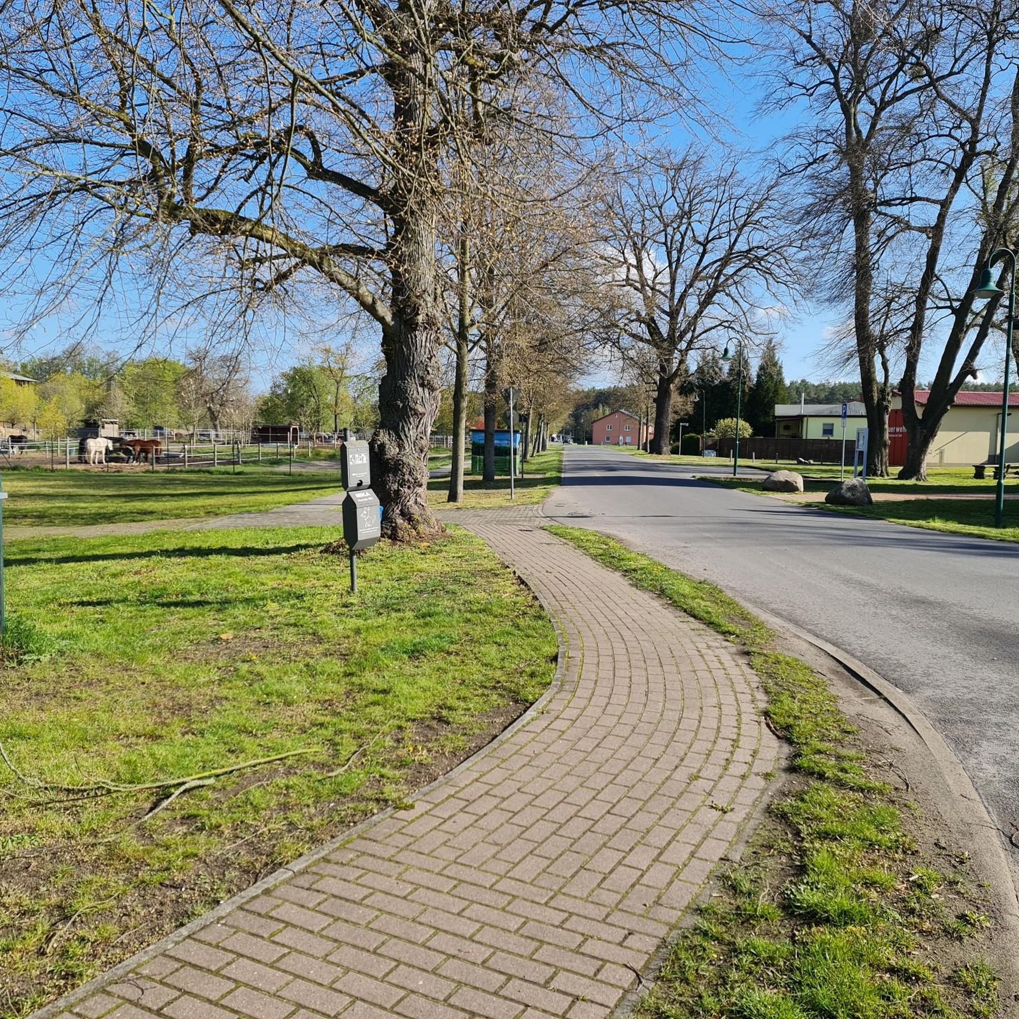
Easy hikes in Dublin Hills Regional Park

Easy hikes in Tassajara Creek Regional Park
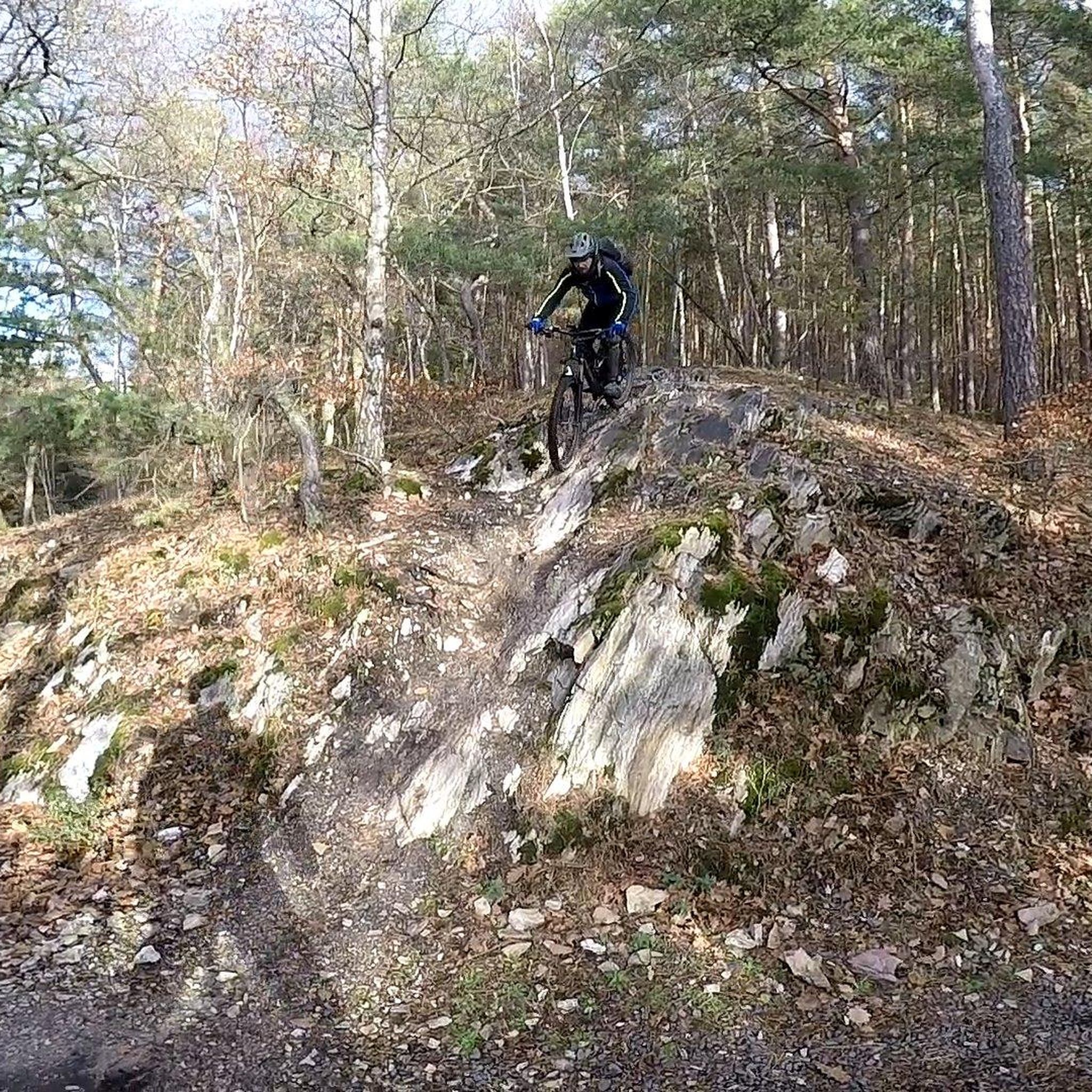
Easy hikes around Union City

Easy hikes around Hayward
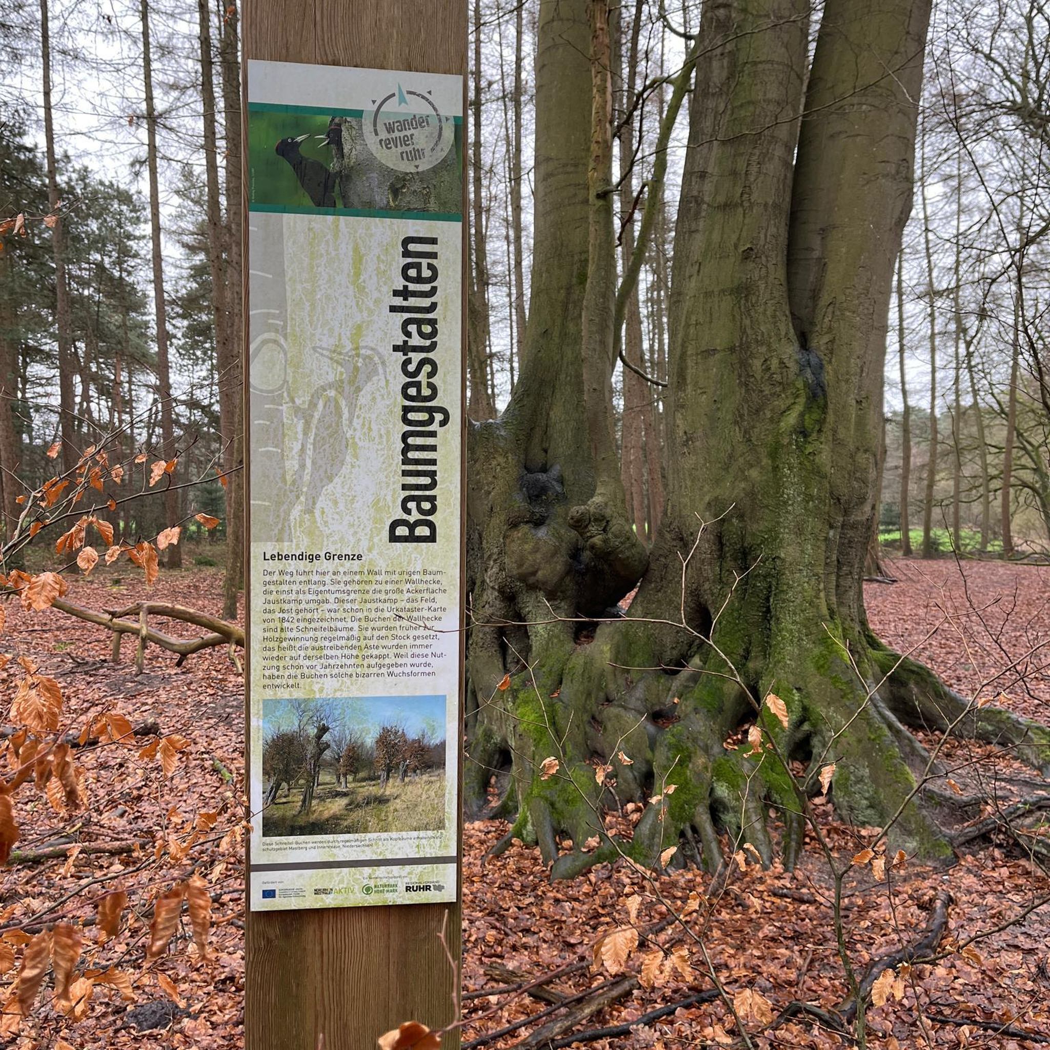
Easy hikes around Berkeley
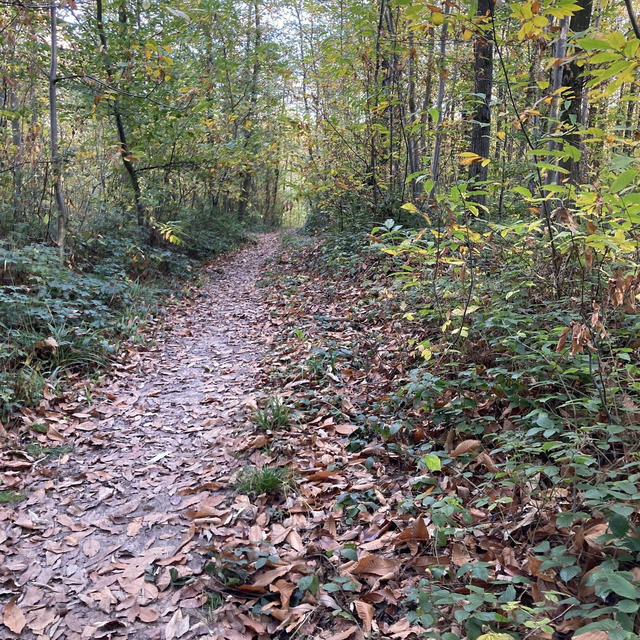
Easy hikes around Cherryland

Easy hikes in Don Edwards San Francisco Bay National Wildlife Refuge
Easy hikes in Anthony Chabot Regional Park


Tips from the Community

Set back slightly from the trail, this bench provides views into the redwoods at all times of the day. A welcome rest stop for folks heading up the East Ridge.
0
0

Every winter thousands of ladybugs gather and overwinter. Information boards give more background information.
1
0

The East Ridge Overlook offers wonderful panoramic views of the Reinhardt-Redwood Regional Park.
0
0

Del Valle Lake was formed by Del Valle Dam, completed in 1968. The lake, about 5 miles long, has trails meandering along it, offering stunning views along the way. As the name suggests, the lake is tucked in a valley, with plenty of higher vantage points to enjoy the views.
0
0
Rainbow Lake is the second-biggest lake of the Quarry Lake Regional Park and a tranquil spot in Fremont.
0
0

The first section of East Shore Trail passes by Arroyo Del Valle River and then goes towards a steep ridge line by the southern Livermore Hills, delivering sweeping panoramic views of the parkland.
0
0
Lake Del Valle is an artificial impoundment located in the dry Livermore Valley. The lake is formed by the Arroyo del Valle River and is surrounded by the grassy hills of Del Valle Regional Park. The area has 4395 acres of parkland, offering many hiking trails with views and lake access. There is not much shade in the park, so it is recommended to visit the park during spring, autumn, and winter seasons to avoid high temperatures.
0
0
East Shore Trail starts on Arroyo Road, passing by the southern Livermore hills, going along the east side of the lake, and connects with different trails. The trail offers different viewpoints along the way, one of the best ones is on the south part of the lake, offering expansive views of the Lake Del Valle area.
0
0
Frequently Asked Questions
How many easy hiking trails are available in Alameda County?
Alameda County offers a wide selection of easy hiking trails, with over 270 routes suitable for various skill levels. These trails provide diverse landscapes, from redwood forests to serene lakes and rolling hills.
What do other hikers say about easy trails in Alameda County?
The easy hiking trails in Alameda County are highly rated by the komoot community, with an average score of 4.8 stars from over 400 reviews. Hikers often praise the diverse natural environments and well-maintained paths.
What is the best time of year for easy hikes in Alameda County?
Alameda County's diverse landscapes make it suitable for hiking year-round. Spring brings vibrant green hills, while fall offers pleasant temperatures. Redwood forests provide cool, shaded options during warmer months, and many trails offer mild conditions even in winter.
Are there easy loop trails in Alameda County?
Yes, many easy trails in Alameda County are designed as loops, offering varied scenery without retracing your steps. For example, the East Ridge, Prince, and Stream Trail Loop is an easy 4.1-mile path that winds through varied terrain.
Are easy hiking trails in Alameda County suitable for families with children?
Absolutely. Many easy trails are family-friendly, offering gentle terrain and shorter distances. Parks like Lake Chabot Regional Park and Temescal Regional Recreation Area feature trails around lakes, perfect for a leisurely family outing with opportunities for picnicking.
Can I bring my dog on easy hikes in Alameda County?
Many parks and trails in Alameda County are dog-friendly, though leash regulations vary. Oyster Bay Regional Shoreline, for instance, is popular for dog walking along its gravel trails. Always check specific park rules before heading out with your pet.
Are there easy trails with views of the San Francisco Bay?
Yes, several easy trails offer stunning views of the San Francisco Bay. Trails in parks like Garin Regional Park and Coyote Hills Regional Park lead to ridgetops or shorelines, providing expansive vistas. The East Shore and Heron Bay Trail Loop also offers bay views.
Where can I find easy hikes through redwood forests?
For an easy hike among towering redwoods, visit Reinhardt Redwood Regional Park in Oakland. This park offers a unique, cool, and moist ecosystem with trails winding through second and third-growth redwood groves, often just minutes from urban centers.
Are there easy trails around lakes or reservoirs?
Alameda County features several easy trails around beautiful lakes and reservoirs. Lake Chabot Regional Park has a paved East Shore Trail that is shaded and flat, while Lake Temescal and Lake Merritt also offer easy walking paths around their perimeters.
What kind of wildlife might I see on easy trails?
On easy trails in Alameda County, you might spot a variety of wildlife. Coyote Hills Regional Park is known for its birdwatching opportunities, and parks like Sunol Regional Wilderness offer chances to see deer and other local fauna. During certain months, Redwood Regional Park is home to large populations of ladybugs.
Are there any interesting landmarks or attractions near easy hiking trails?
Yes, many easy trails are close to notable landmarks. You can explore the tidal lagoon of Lake Merritt, the first official wildlife refuge in the USA, or visit the Interpretive Center - Hayward Regional Shoreline Museum. For panoramic views, consider trails near Grizzly Peak Vista Point.
What is the typical duration for easy hikes in Alameda County?
Easy hikes in Alameda County typically range from 1 to 2 hours, depending on the trail length. For instance, the Old Creek to Western Pacific Trail is about 2.9 miles and can be completed in approximately 1 hour 12 minutes.
Most popular routes in Alameda County
Most popular attractions in Alameda County

Get inspired with the komoot mobile app


Didn’t find what you were looking for?
Check out more Hikes throughout Alameda County below and find the perfect route in your destination.
Explore more
Browse the best Hikes in other regions.
