Routes

Planner

Features

Updates

App

Login or Signup

Get the App

Login or Signup

Routes
Hikes
United States
Massachusetts

Middlesex County

Easy hikes and walks in Middlesex County

4.7

(326)

3,851

hikers

570

hikes

Easy hiking trails in Middlesex County traverse a diverse landscape, featuring a blend of ecosystems including hardwood forests, wetlands, and open meadows. The region is characterized by scenic lakes and rivers, such as Farrington Lake and the Raritan River, providing picturesque settings. Hikers can explore areas with sandy uplands and pine barrens, alongside deciduous forests dominated by beech, maple, and oak trees. This varied terrain offers numerous opportunities for outdoor activity across its extensive park and conservation areas.

Best easy hiking trails in Middlesex County

  • The most popular easy hiking route is Fresh Pond Reservation Loop Trail, a 3.4 miles (5.4 km) trail that takes 1 hour 23 minutes to complete, circling a tranquil pond.
  • Another top favourite among local hikers is Ashland Reservoir Trail, an easy 4.0 miles (6.4 km) path that follows the contours of the reservoir through woodlands.
  • Local hikers also love the Horn Pond Trail, a 3.5 miles (5.6 km) trail leading through varied terrain around Horn Pond, often completed in about 1 hour 26 minutes.
  • Hiking in Middlesex County is defined by hardwood forests, wetlands, and scenic pond loops. The network offers numerous easy hiking trails suitable for various ability levels.
  • The routes in Middlesex County are highly rated by the komoot community with an average score of 4.7 stars from more than 270 reviews. More than 4,300 hikers have used komoot to explore Middlesex County's varied terrain.

Last updated: July 8, 2026

4.5

(2)

165

hikers

#1.

Fresh Pond Reservation Loop Trail

5.44km

01:23

20m

20m

The Fresh Pond Reservation Loop Trail offers a refreshing escape right in Cambridge, Massachusetts, providing a unique blend of urban green space and natural scenery. This easy 3.4-mile (5.4 km) hike, with only 54 feet (16 metres) of elevation gain, takes about 1 hour and 23 minutes to complete, making it a perfect choice for a quick, accessible outing. You'll follow a mostly paved path around the 155-acre Fresh Pond, enjoying views of the water and spotting wildlife like deer, ducks, and various birds, with a brief detour possible on unpaved sections like the one behind Black's Nook.

Planning your visit is straightforward, as the trail is well-maintained and features amenities like water fountains for both people and their pets. It's a popular spot for walking, running, and cycling, so expect company, especially on pleasant days. While the trail is dog-friendly, remember to check the specific Fresh Pond Reservation dog leash rules, as requirements vary in different areas. Fall is a particularly lovely time to visit, when the foliage around the pond is at its peak.

This trail stands out as a serene urban oasis, offering a peaceful retreat from city life without having to travel far. The Fresh Pond Reservation itself encompasses 162 acres of open space, providing a crucial habitat for diverse wildlife within an urban setting. Its flat terrain and accessibility make it an excellent option for Fresh Pond Reservation hiking for beginners or families looking for an easy, rewarding outdoor experience.

Navigate with device

Send to Phone

Save

Easy

5.0

(1)

56

hikers

5.61km

01:26

10m

30m

Embark on the Horn Pond Trail for an easy 3.5 miles (5.6 km) hike, offering continuous views of the pond. You will gain a gentle 43 feet (13 metres) in elevation, making this route achievable in about 1 hour and 25 minutes. As you walk, you'll find yourself surrounded by wooded areas, featuring glacial boulders and tall pine forests. From certain spots, you can even glimpse the distant skyline of downtown Boston, adding an unexpected urban backdrop to your nature walk.

Planning your visit to Horn Pond is straightforward, as the trail is generally accessible year-round. You will find ample parking, making it easy to begin your adventure. Along the main path, benches are available if you wish to pause and rest. Restrooms are also conveniently located for visitors.

Beyond the scenic path, the Horn Pond Trail is known for its diverse wildlife. Keep an eye out for various bird species, including swans, coots, and mallards, especially around the designated pond view areas. This rich natural environment makes the trail a rewarding outing for nature enthusiasts.

Easy
guide_signup
Let us show you the way with the komoot mobile app
With a free komoot account, you can easily find, customize, and navigate endless outdoor adventures.

Sign up for free

5.0

(4)

47

hikers

The Ashland Reservoir Trail offers a delightful escape into nature, tracing a 4.0-mile (6.4 km) loop around the picturesque 157-acre Ashland Reservoir. You'll find yourself immersed in a landscape of tall pine trees, undeveloped shorelines, and historical elements like old stone walls, with continuous water views. The path itself is mostly dirt, often rocky and rooted, but it's an easy hike with only 101 feet (31 metres) of elevation gain, making it accessible for nearly everyone.

Planning your visit is straightforward, though it's wise to arrive early, especially on weekends, as the parking areas can fill up quickly due to the trail's popularity. The route is dog-friendly, perfect for family friendly hikes, and typically takes about 1 hour and 38 minutes to complete. Be aware that some sections can be muddy or flooded, so appropriate footwear is recommended, and carrying a map is a good idea as signage can be inconsistent.

This trail is a gem within Ashland State Park, offering more than just hiking; the reservoir is stocked with trout for fishing, and the park provides opportunities for boating and swimming. The Ashland Dam, a key landmark, offers excellent panoramic views and is part of Boston's historic late 19th-century waterworks. The area also has ties to inventor Henry Warren, adding a layer of historical interest to your outdoor adventure.

Easy

3.0

(1)

37

hikers

4.61km

01:12

30m

30m

Embark on the North Reservoir Loop for an easy hike through the peaceful woods of Middlesex Fells Reservation. This gentle route offers tranquil views of the North Reservoir, guiding you past structures like the Middle Reservoir Dike and the North Reservoir Dam. You'll cover 2.9 miles (4.6 km) with a minimal elevation gain of just 106 feet (32 metres). Expect to complete this pleasant loop in about 1 hour and 12 minutes, making it perfect for a relaxed outing.

Accessing the North Reservoir Loop is straightforward, with parking generally available near the trailheads within the Middlesex Fells Reservation. This convenient access makes it easy to start your hike without hassle. The trail's easy difficulty and relatively flat profile mean it's suitable for most times of day, though mornings often offer the most serene experience. Always check local conditions before heading out, especially during peak seasons.

This loop is a key feature within the larger Middlesex Fells Reservation, an important natural area close to urban centers. The presence of structures like the Middle Reservoir Dike and North Reservoir Dam highlights the area's historical role in water management. The wooded sections provide a refreshing escape, allowing you to connect with nature without venturing far from the city.

Easy

5.0

(1)

28

hikers

3.18km

00:49

10m

10m

The Weston Reservoir Loop offers a tranquil escape into nature, winding around the picturesque Weston Reservoir with views of lush greenery, forest, and open areas. You'll find mostly flat, wide paths, though be ready for potential mud, packed snow, ice, or roots underfoot, especially after rain or snowmelt. It's a serene spot, perfect for birdwatching and spotting wildflowers, making it a popular choice for leisurely walks.

This easy 2.0-mile (3.2 km) hiking route has a minimal 43 feet (13 metres) of elevation gain and can be completed in about 49 minutes. It's particularly family-friendly and very dog-friendly, with "mutt mitts" provided, though dogs must be leashed when entering and exiting vehicles. Due to its accessibility, the trail can be quite popular on nice days, so an early start might offer a quieter experience.

Part of the Weston Aqueduct Linear District, this trail has been listed on the National Register of Historic Places since 1990, adding a layer of historical significance to your outing. It's a notable spot in Middlesex County, Massachusetts, offering a quick, high-payoff nature fix without demanding much effort, making it a great option for beginner hiking trails or a casual afternoon stroll.

Easy

5.0

(2)

24

hikers

7.23km

01:53

50m

40m

Embark on an easy hike along the Flints Pond Trail, a 4.5-mile (7.2 km) route that winds through a beautiful, dense forest. You will experience a serene atmosphere under tall trees, circling Flints Pond. While direct access to the water is limited due to its role as a public water supply, you can still enjoy the natural beauty and keep an eye out for wildlife, especially near the Sandy Pond Trust Land area. This route involves a gentle 154 feet (47 metres) of elevation gain and typically takes about 1 hour and 52 minutes to complete. It's a perfect choice for a relaxed outing.

When planning your visit, be aware that parking is available, including at the DeCordova Sculpture Park and Museum. A fee may apply there, unless you are a Lincoln resident or inform staff you are hiking Flints Pond. Dogs are permitted on the trail but must be leashed in parking areas, within 100 feet of trailheads, and generally throughout the conservation area to protect the water supply.

The Flints Pond Trail offers a unique opportunity to explore a forested landscape within the Flints Pond Conservation Area. While the pond itself is a public water source, limiting activities like swimming, fishing, and boating, the surrounding woods provide a tranquil setting. You can still appreciate the natural environment and look for local wildlife, making it a notable spot for a peaceful escape.

Easy

5.0

(1)

24

hikers

3.21km

00:49

10m

20m

Embark on an easy hike around Lake Williams, a 2.0-mile (3.2 km) loop that offers a refreshing escape. You will gain a gentle 36 feet (11 metres) in elevation, making this route suitable for nearly everyone and completable in about 49 minutes. The trail winds through shady woods, featuring both young and mature trees, and includes wetland boardwalks. A highlight is the unique half-mile long floating boardwalk, where you can walk directly over the water and enjoy expansive views of the lake. This path provides continuous water views, perfect for a peaceful outing.

Before you head out, be aware that the distinctive floating boardwalk on the Lake Williams Trail operates seasonally. It is a good idea to check local conditions if you plan your visit during cooler months. Also, because Lake Williams serves as a backup water supply, certain activities are strictly prohibited. You cannot fish, bring pets, or access the water from the trail or lake.

This trail stands out for its diverse scenery as it loops around the 113-acre Lake Williams. You will find opportunities for birdwatching, especially during spring and fall, as you follow the path. The recently completed floating boardwalk is a notable feature, allowing you to experience the lake from a unique perspective and offering distinct views across the water.

Easy

5.0

(1)

17

hikers

Embark on the Southern Middlesex Fells Loop for an easy hiking experience through tranquil wooded landscapes. This gentle journey covers 3.7 miles (6.0 km) with a modest elevation gain of 185 feet (56 metres), making it perfect for a quick outdoor escape. You can expect serene natural immersion, with opportunities to enjoy peaceful views of the south reservoir. Take a moment to sit on rocks by the water or explore a small water hut along the way. The route's relatively flat terrain ensures a relaxing hike, typically completed in about 1 hours and 35 minutes.

Accessing the Southern Middlesex Fells Loop is straightforward, with parking generally available near the trailheads. You won't need any specific permits or have to pay fees to enjoy this area. While the trails in Middlesex Fells Reservation are usually well-marked with blazes, many paths crisscross; pay close attention to markers to stay on your intended route. This helps ensure you follow the correct loop and avoid unintended detours.

This particular loop offers a focused natural immersion, distinct from the broader Fells' dramatic Boston skyline views. It provides a peaceful retreat within the larger Middlesex Fells Reservation, an extensive natural area known for its diverse ecosystems. The reservation itself is a significant green space, offering a variety of outdoor activities for local communities and visitors alike. This trail highlights the quieter, more intimate aspects of the Fells.

Easy

4.3

(3)

21

hikers

Embark on an easy hike through the Broadmoor Wildlife Sanctuary Trails, a route that winds through diverse landscapes. You will experience dense pine forests, open fields, and vibrant marshlands, with boardwalks guiding you over wet areas. The trail follows parts of the Charles River and Indian Brook, offering scenic views and chances to spot local wildlife. This easy route covers 4.7 miles (7.6 km) with a gentle elevation gain of 188 feet (57 metres), taking about 1 hour and 59 minutes to complete.

The sanctuary provides ample parking, making access to the Broadmoor Wildlife Sanctuary Trails straightforward for hikers. While this specific route is easy, be aware that other paths within the sanctuary might present more rugged terrain, including roots and rocks. Always check local conditions before your visit to ensure a pleasant experience. You might also consider exploring the universally accessible All Persons Trail for an alternative outing.

As you hike, you will discover a rich variety of ecosystems, supporting diverse wildlife. Keep an eye out for various bird species and mammals like beavers along the waterways. The route also features a seasonal waterfall, adding another point of interest to your journey through this protected natural area. The blend of forests, fields, and wetlands makes this sanctuary a notable spot for nature observation.

Easy

4.7

(3)

17

hikers

6.47km

01:47

110m

120m

The BoundaryTrail offers a delightful, easy hiking experience, winding through the pleasant Oak Hill Forest Trails. You'll encounter natural features like the Trophe Chasm and Lookout Rock, providing gentle visual interest along the way. The path is well-suited for a relaxed outing, allowing you to immerse yourself in the wooded surroundings without any strenuous climbs.

This accessible route is a great option for a quick escape into nature, covering 4.0 miles (6.5 km) with a modest 358 feet (109 metres) of elevation gain. Expect to spend around 1 hour and 47 minutes on the trail. Trailhead access is convenient, with clear starting points near the Littleton Domestic Water Tower, making it easy to plan your visit for a morning or afternoon walk.

Located in Middlesex County, Massachusetts, the BoundaryTrail provides a tranquil setting for those seeking an easy, family-friendly hike. Its gentle terrain and manageable distance make it an excellent choice for beginners or anyone looking for a peaceful stroll through the forest. The trail's highlights, such as Lookout Rock, offer pleasant spots to pause and enjoy the natural environment.

Easy
Sign up for free to see 561 more hikes in Middlesex County.

Get access to more routes and recommendations from other explorers.

Sign up for free

Already have an account?

Our route recommendations are based on thousands of hikes, rides, and runs completed by other people on komoot.

Start today with a free account

Your next adventure awaits.

Login or Signup

Popular around Middlesex County

Easy hikes around Newton

Easy hikes around Cochituate

Easy hikes in Great Meadows National Wildlife Refuge

Easy hikes around East Pepperell
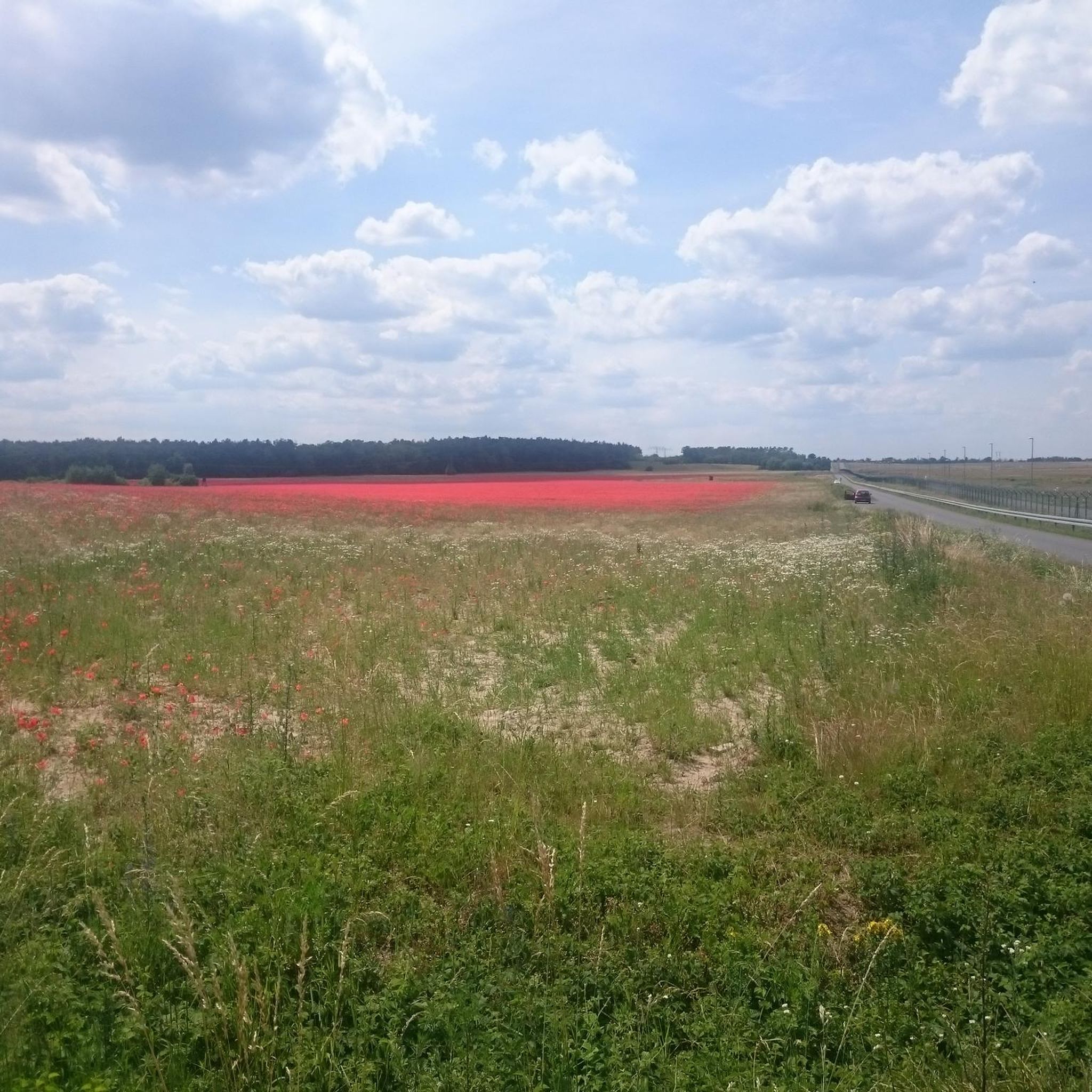
Easy hikes around Marlborough

Easy hikes around Somerville

Easy hikes around Hudson

Easy hikes around Malden

Easy hikes around Medford
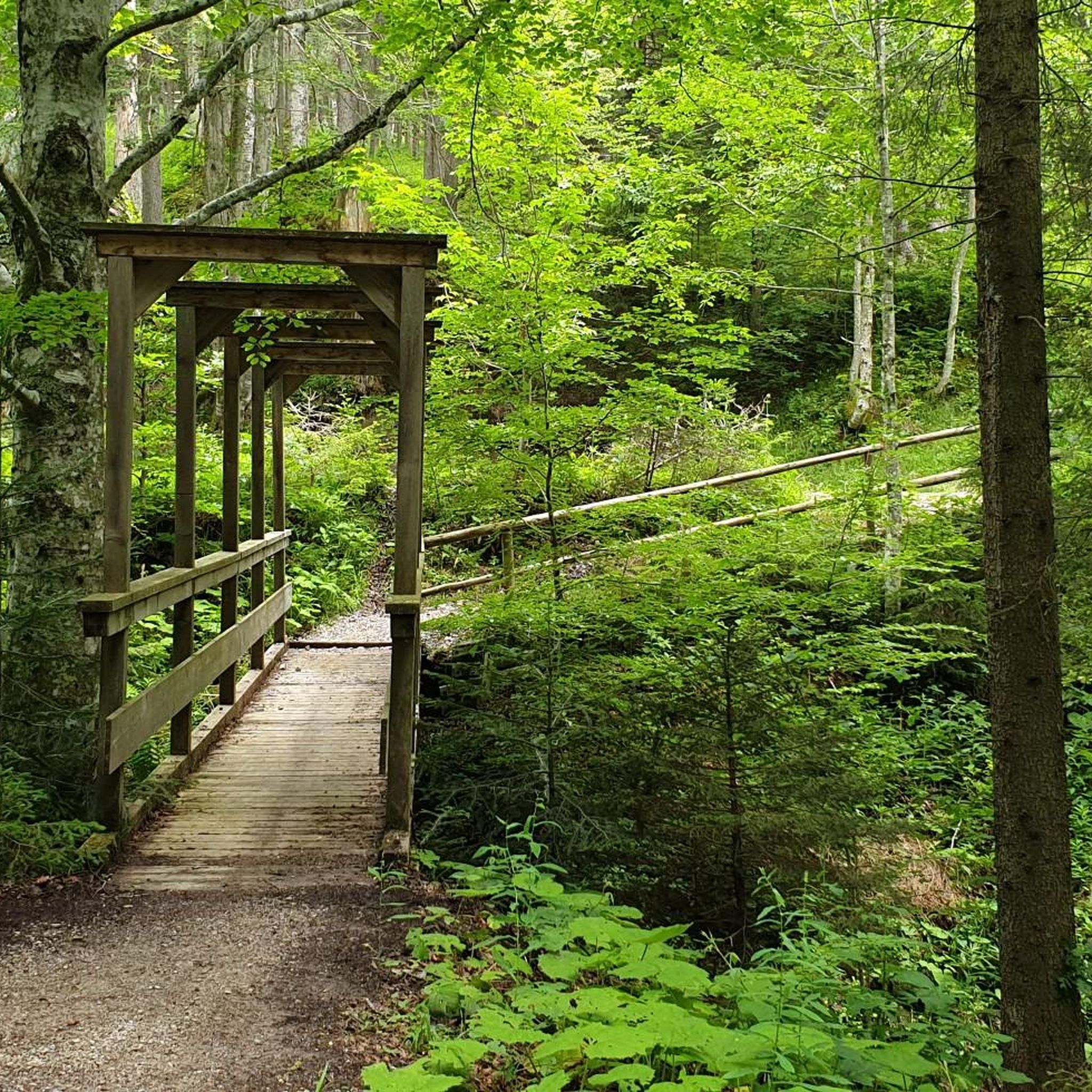
Easy hikes in Cochituate State Park

Other adventures in Middlesex County

Bay Circuit Trail and Greenway — Walking the Emerald Necklace

Hiking Collection by

mtm05005

Tips from the Community

Ashley Howe
May 1, 2026, View of Boston Skyline from Middlesex Fells Reservation

Wow this view! Fun hike to this spot and view is perfect!

0

0

Beautiful early in the morning !!!

0

0

Ashley Howe
April 23, 2026, Pasture Hill

Donate to the puppy for good luck! Good boy!

0

0

Mike
October 20, 2025, North Reservoir

Great views! Fun trails.

0

0

This site is full of historical items such as an Ice Age melt created gorge, the American Telephone Transcontinental cable, the U.S. military WWII redar research site, and a (lower than summit) great lookout rock. Friendly vertical well groomed trails. Highly recommend!!!

0

0

This a great easy vertical adventure near metro northwest Boston along groomed trails through the woods, with lots of interesting historical features such at the Ice Age carved Trophe Chasm (bordered with large granite boulders), and more modern items such as the ATT Transatlantic Cable, and a World War II era Air Force radar testing station. Well worth it in any weather, never crowded, trailhead parking. Highly recommend.

0

0

This is an elevated viewpoint near Wright Tower. It has a great view of the Boston skyline.

0

0

Hans
June 5, 2025, North Reservoir

A beautiful area for running, walking and cycling

Translated by Google

1

0

Frequently Asked Questions

What kind of terrain can I expect on easy hiking trails in Middlesex County?

Easy hiking trails in Middlesex County offer a diverse landscape. You'll find paths winding through hardwood forests, wetlands, and open meadows. Many routes feature scenic views of lakes like Farrington Lake and the Raritan River. Some areas, such as the Jamesburg Park Conservation Area, even include sandy uplands and pine barrens, providing a unique ecological blend.

How many easy hiking trails are available in Middlesex County?

Middlesex County offers a wide selection of easy hiking routes. There are over 400 easy hiking trails available, providing numerous options for exploring the region's natural beauty.

Are there any easy circular routes in Middlesex County?

Yes, many easy trails in Middlesex County are designed as circular routes, perfect for a straightforward outing. For example, the Fresh Pond Reservation Loop Trail offers a pleasant circuit around a tranquil pond, and the Weston Reservoir Loop is another great option for a shorter, easy circular walk.

What are the typical lengths of easy hikes in Middlesex County?

Easy hikes in Middlesex County vary in length, generally ranging from 2 to 5 miles. For instance, the North Reservoir Loop is about 2.9 miles (4.6 km), while the Ashland Reservoir Trail extends to about 4 miles (6.4 km), offering options for different time commitments.

Are easy hiking trails in Middlesex County suitable for families with children?

Absolutely. Many parks and conservation areas in Middlesex County are ideal for families. Trails often feature relatively flat terrain and scenic points of interest, making them enjoyable for all ages. Locations like Davidson's Mill Pond County Park and Thompson Park are particularly popular for family outings.

Can I bring my dog on easy hikes in Middlesex County?

Many easy hiking trails in Middlesex County are dog-friendly, but it's always best to check specific park regulations before you go. Generally, dogs are welcome on leash in most county parks and conservation areas, allowing your furry friend to join your outdoor adventures.

What natural features or landmarks can I see along easy trails?

Middlesex County's easy trails offer a variety of natural features. You can explore diverse ecosystems including pine barrens, hardwood forests, and wetlands. Scenic lakes and rivers like Farrington Lake and the Raritan River provide picturesque views. Some trails also lead to interesting highlights such as the Shilly Shally Brook Waterfall or offer views of the Pawtucket Dam and Falls.

What do other hikers enjoy most about easy hikes in Middlesex County?

The easy hiking trails in Middlesex County are highly rated by the komoot community, with an average score of 4.7 stars. Reviewers often praise the peaceful natural settings, well-maintained paths, and the variety of landscapes, from tranquil pond loops to lush forests, making them perfect for a relaxing outdoor experience.

Are there any easy hikes accessible by public transport in Middlesex County?

While many trailheads are best accessed by car, some areas in Middlesex County may have limited public transport options. For instance, the Middlesex Greenway Trail connects several towns, potentially offering public transport access points. It's recommended to check local bus routes and schedules for specific trailheads you plan to visit.

What is the best time of year for easy hikes in Middlesex County?

Middlesex County offers enjoyable easy hiking opportunities year-round. Spring brings blooming wildflowers, while autumn showcases vibrant fall foliage, particularly in areas like Thompson Park. Summer is great for shaded forest trails, and even winter can be beautiful for a crisp walk, though some paths might be icy or muddy.

Are there any easy hikes that feature unique ecosystems like pine barrens?

Yes, Middlesex County is home to unique ecosystems. The Jamesburg Park Conservation Area and the John A. Phillips Preserve offer trails that wind through sandy uplands and pine barrens, allowing you to experience this distinct natural habitat and observe specialized plant and animal species.

Where can I find parking for easy hiking trails in Middlesex County?

Most major parks and conservation areas in Middlesex County, such as Cheesequake State Park, Davidson's Mill Pond County Park, and Thompson Park, provide designated parking lots for trail access. These facilities are generally well-maintained and offer convenient starting points for your easy hikes.

Most popular routes in Middlesex County

Hiking in Middlesex County

Most popular attractions in Middlesex County

Places to see

Store rating

Get inspired with the komoot mobile app

With a free komoot account, you can easily find, customize, and navigate endless outdoor adventures.

or

Join komoot Now

Store rating

Didn’t find what you were looking for?

Check out more Hikes throughout Middlesex County below and find the perfect route in your destination.

CochituateFraminghamLowellBillerica State ForestAshland State ParkCochituate State ParkLoker Conservation And Recreation AreaWarren H Manning State ParkLowell Heritage State ParkGreat Meadows National Wildlife RefugeAssabet National Wildlife RefugeFarnsworth Wildlife RefugeCallahan State ParkNewtonPinehurstWest ConcordBelmontAyerMarlboroughWatertownArlingtonHanscom AfbHopkintonMelroseCarlisle State ForestJ. Harry Rich State ForestLexingtonPepperellWinchesterWilmingtonSomervilleBurlingtonMaldenReadingWhitehall State ParkMain Street Wildlife RefugeCambridgeLowell Dracut Tyngsborough State ForestMarlborough-Sudbury State ForestWillard Brook State ForestWakefieldGovernor Thomas Dudley State ParkHopkinton State ParkEverettEnglish Wildlife RefugeEast PepperellHudsonWalthamWoburnTownsendStonehamLittleton CommonShirleyMaynardMedfordGrotonLost Lake Recreation AreaGreat Brook Farm State ParkWeston Pond Recreation AreaTownsend State Forest

Other places to explore

Forests in Middlesex County

Nearby adventure guides

Things to Do around West Concord

background

Get ready to conquer new peaks

Sign up for Free

Explore
RoutesRoute plannerFeaturesHikesMTB TrailsRoad cycling routesBikepackingSitemap
Download the app
Follow Us on Socials

© komoot GmbH

Privacy Policy



