
The best running trails around Brackagh Slieve Gallion
134
runners
21
runs
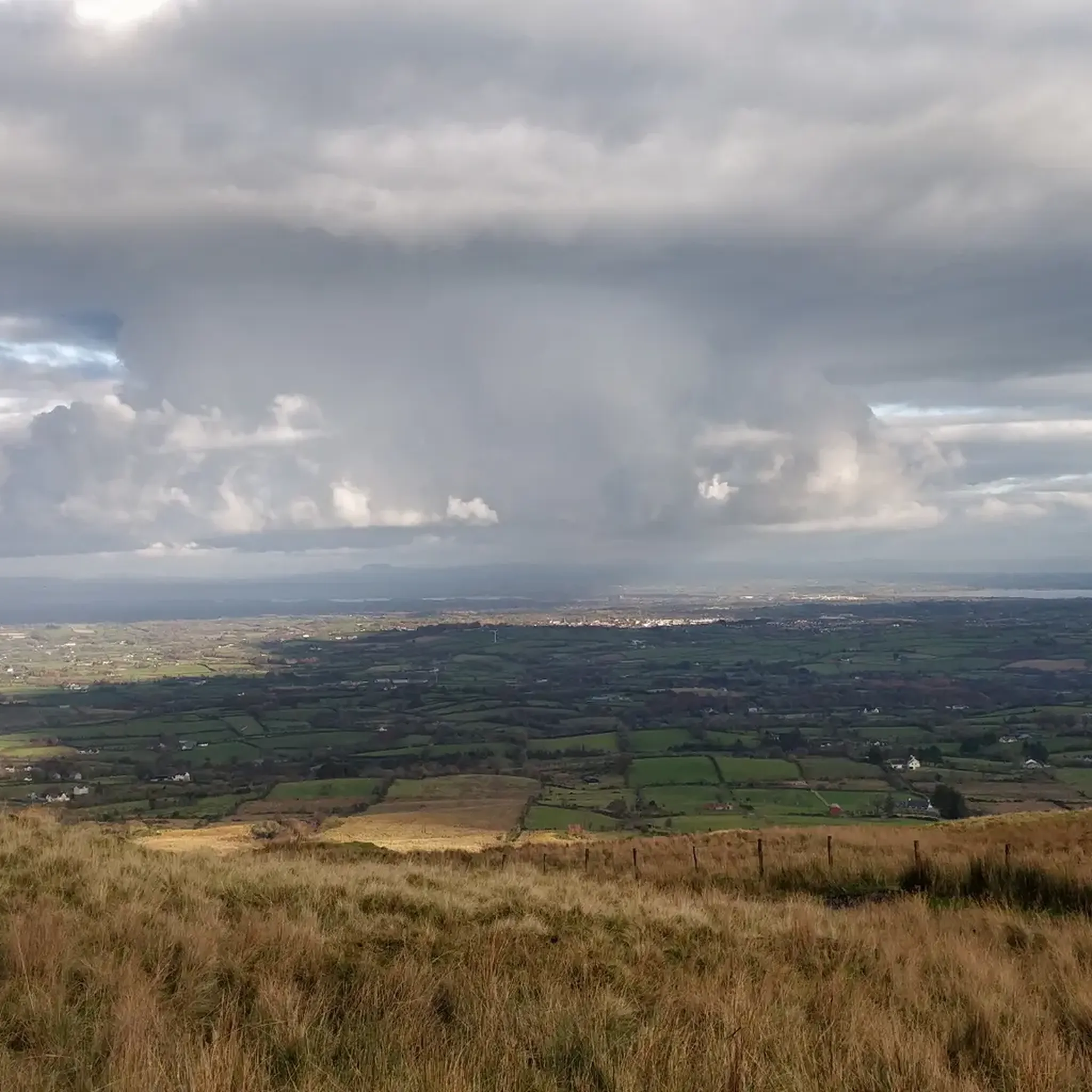
Jogging around Brackagh Slieve Gallion offers diverse terrain for runners. The region is characterized by the prominent Slieve Gallion mountain, tranquil wetlands of Brackagh Bog Nature Reserve, and serene lakeside paths around Lough Fea. Coniferous forests and open moorland also contribute to the varied landscape, providing a range of running surfaces and scenic backdrops.
Best jogging routes around Brackagh Slieve Gallion
- The most popular jogging route is Moyola River loop from Magherafelt, an 8.2 miles (13.2 km) trail that…
Last updated: November 1, 2026
12
runners
13.2km
01:22
90m
90m
Moderate run. Good fitness required. Mostly paved surfaces.
9
runners
10.5km
01:05
90m
90m
Moderate run. Good fitness required. Mostly paved surfaces.

8
runners
5.75km
00:36
60m
60m
Moderate run. Good fitness required. Mostly paved surfaces.
6
runners
6.86km
00:43
50m
50m
Moderate run. Good fitness required. Mostly paved surfaces.
3
runners
4.63km
00:29
10m
10m
Easy run. Mostly paved surfaces.
Get access to more routes and recommendations from other explorers.
Already have an account?
Our route recommendations are based on thousands of hikes, rides, and runs completed by other people on komoot.
Start today with a free account
Your next adventure awaits.
Popular around Brackagh Slieve Gallion


Frequently Asked Questions
How many running routes are available in Brackagh Slieve Gallion?
There are over 20 running routes around Brackagh Slieve Gallion, offering a diverse range of experiences for joggers of all levels. These include easy loops, moderate trails, and more challenging mountain ascents.
Are there easy running routes suitable for beginners or casual joggers?
Yes, Brackagh Slieve Gallion offers several easy running routes. A great option is the 4-kilometer Lough Fea Loop, which is described as 'lovely and flat' and offers peaceful forest paths and panoramic views. Another easy option is the Running loop from Desertmartin.
What kind of terrain can I expect on the jogging trails in this region?
The region offers a diverse range of terrain. You can expect mountainous paths around Slieve Gallion, tranquil wetlands and bog habitats in the Brackagh Bog Nature Reserve, serene lakeside paths around Lough Fea, and routes through coniferous forests and open moorland. This variety provides different running surfaces and scenic backdrops.
Are there challenging running trails for experienced runners?
Absolutely. For those seeking a more strenuous workout, routes like the Slieve Gallion Walk (10.2 miles with a 485-meter ascent) or the Slieve Gallion NE Top via Iniscarn Forest (5.8 miles) offer moderate to challenging terrain with significant elevation changes and rewarding views. There are 2 difficult routes available in the area for experienced runners.
What natural features or viewpoints can I see while jogging in Brackagh Slieve Gallion?
The area is rich in natural beauty. You can enjoy panoramic views from Slieve Gallion NE Top Summit across the Sperrin range and Lough Neagh. The serene Lough Fea offers beautiful lakeside scenery, and the Brackagh Bog Nature Reserve showcases unique wetland environments. Other notable viewpoints include View of the Gallion Mountains and County Londonderry.
Can I spot any wildlife during my run in Brackagh Slieve Gallion?
Yes, the region is a haven for wildlife. In the Brackagh Bog Nature Reserve, you might encounter a myriad of insects, rare marsh fritillary and green hairstreak butterflies, and various dragonfly species, including the rare Irish damselfly. In the wider area, animal species like the Irish hare, curlew, red grouse, and otter can also be found.
Are there circular running routes in the Brackagh Slieve Gallion area?
Many of the running routes in the area are designed as loops, offering a convenient circular experience. Examples include the Moyola River loop from Magherafelt, the Running loop from Magherafelt, and the Desertlynn Old Graveyard loop from Moneymore.
Are the running routes in Brackagh Slieve Gallion suitable for families?
Yes, some routes are very suitable for families. The Lough Fea Loop, with its flat terrain and amenities like a children's play area, toilets, and rain shelters, is an excellent choice for a family jog. Generally, the easier, flatter loops are best for families.
What is the best time of year to go jogging in Brackagh Slieve Gallion?
The region is beautiful year-round, but spring and summer offer the most pleasant weather for jogging, with longer daylight hours and vibrant flora. Autumn provides stunning colors, especially in the forested areas. Be prepared for potentially wet and windy conditions during winter, particularly on higher elevations.
Is there parking available near the jogging trails?
Yes, parking is generally available at popular starting points for trails. For instance, Lough Fea has dedicated parking facilities. For other routes, it's advisable to check specific route details on komoot for parking information near the trailhead.
Are there any facilities like toilets or shelters along the routes?
Some popular spots, such as Lough Fea, offer amenities like toilets and rain shelters. For other routes, especially those in more remote mountain or bogland areas, facilities may be limited, so it's best to plan accordingly and carry what you need.
Can I access the jogging trails using public transport?
While some areas might be accessible by local bus routes, public transport options can be limited, especially for trails in more rural or mountainous parts of Brackagh Slieve Gallion. It's often recommended to use a car to reach trailheads, or research specific bus routes to towns like Magherafelt or Moneymore and plan your run from there.
Most popular routes around Brackagh Slieve Gallion
Most popular attractions around Brackagh Slieve Gallion

Get inspired with the komoot mobile app


Explore more
Browse the best Running Trails & Routes in other regions.
