The 6 Most Amazing Peaks around Bettwiesen
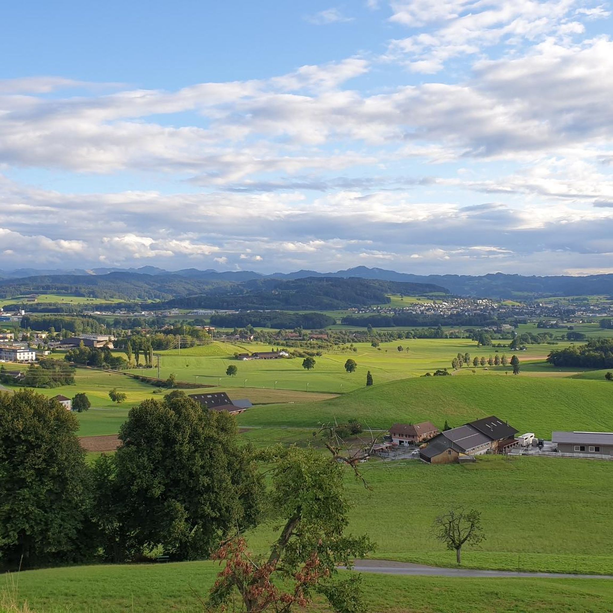
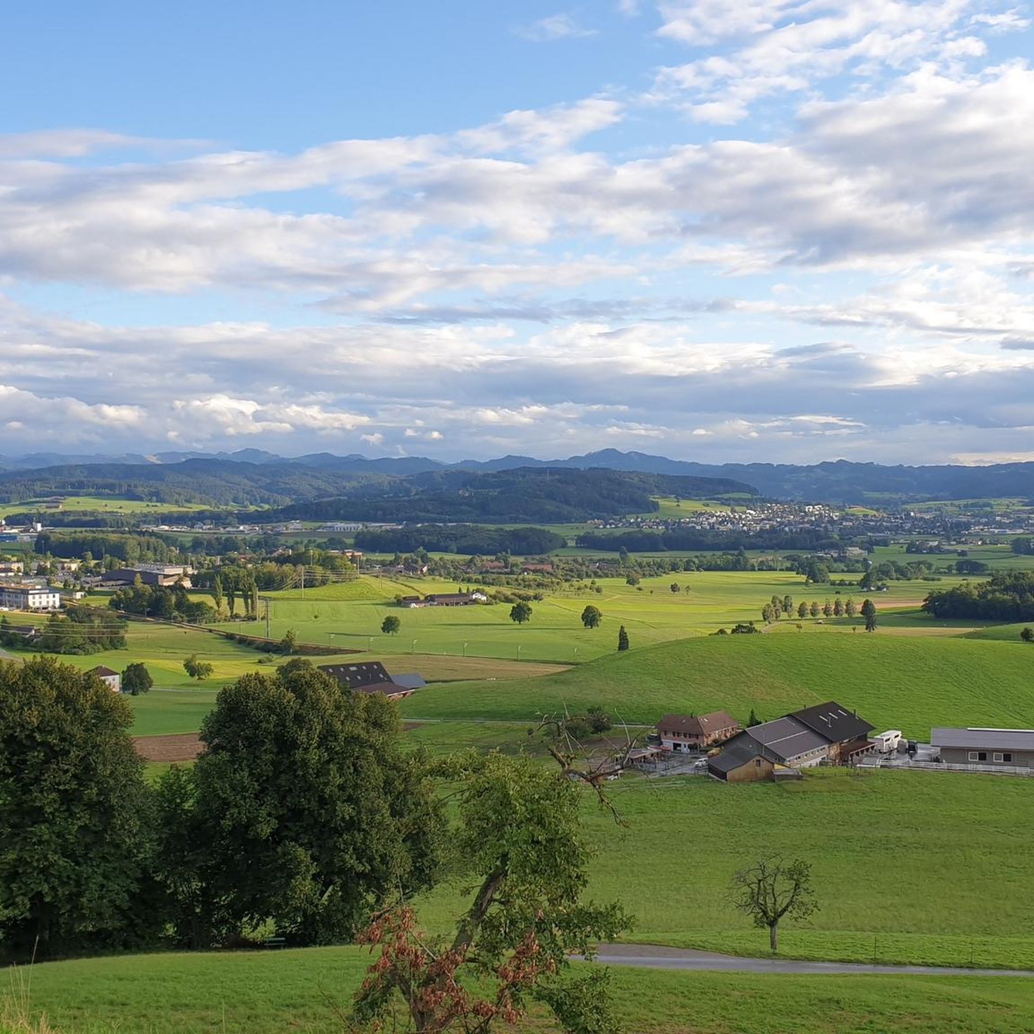
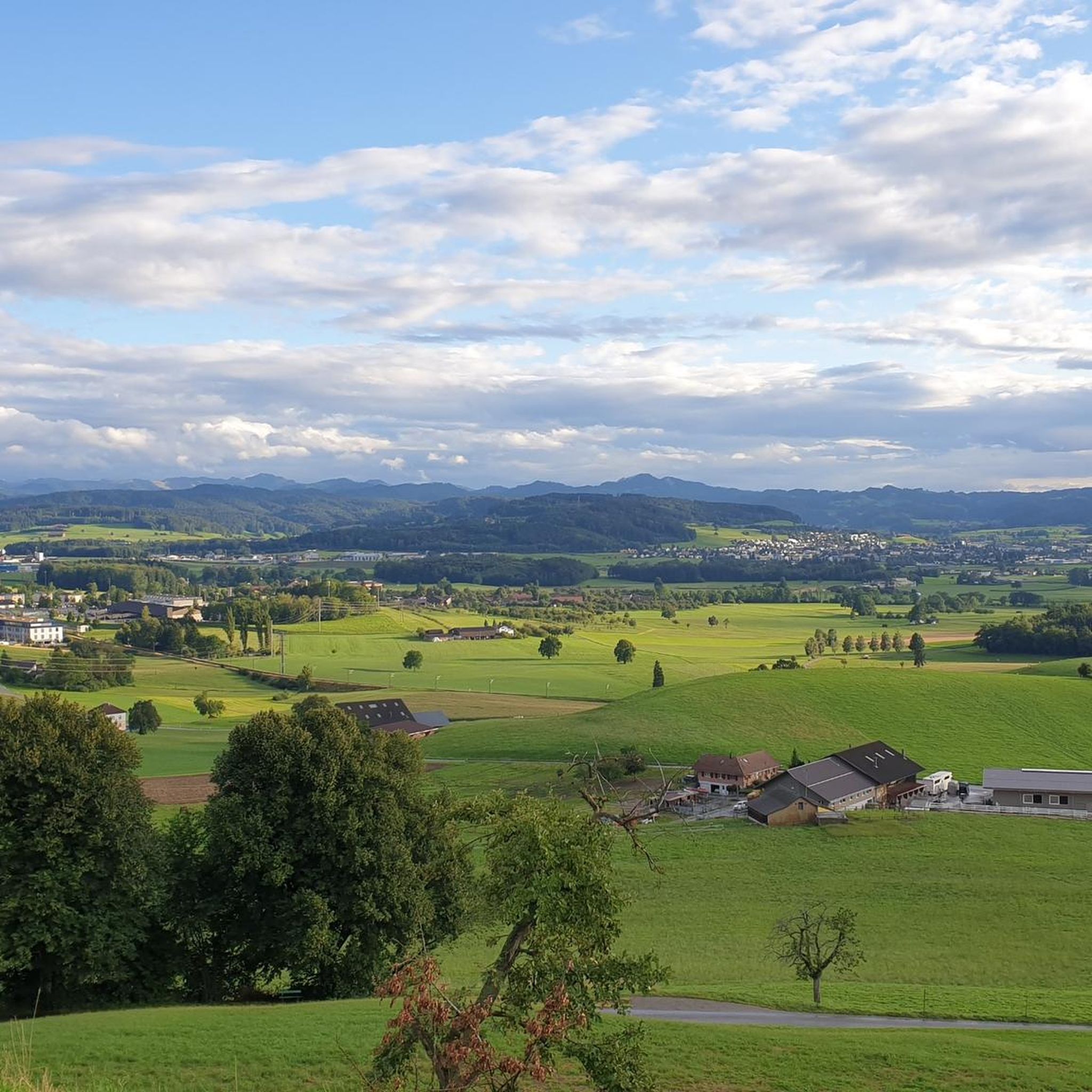
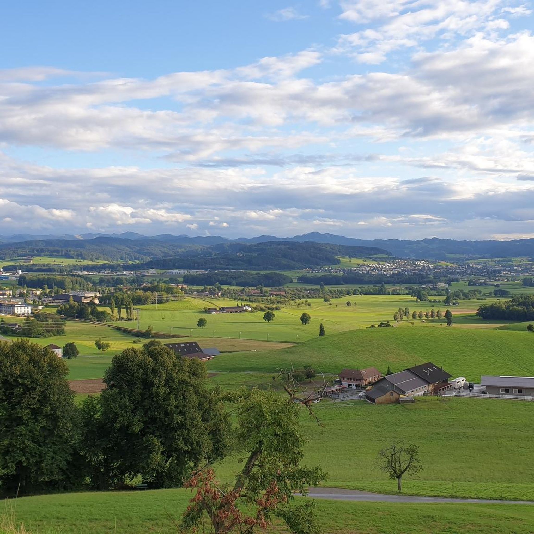
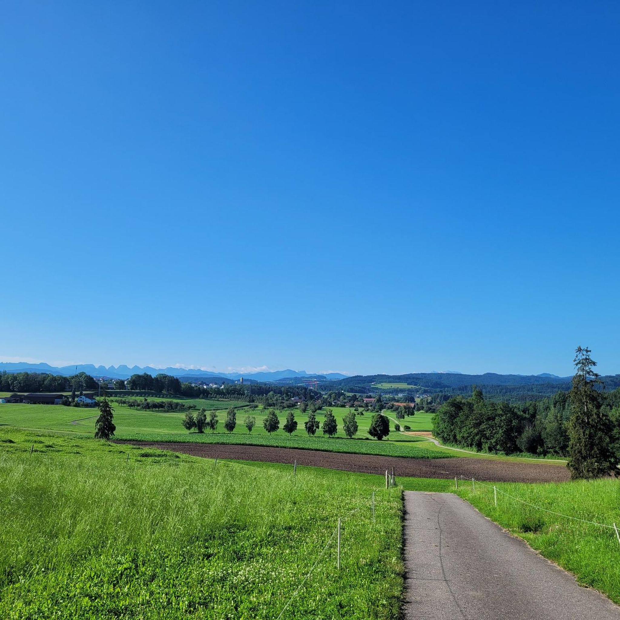
Best mountain peaks around Bettwiesen are characterized by a gently undulating landscape, with the highest point within its municipal area reaching 676 meters. The region features local elevated areas like the Bruunauer Bärg, contributing to the local topography. While Bettwiesen itself does not host prominent mountain peaks in the traditional sense, it offers access to scenic hiking trails. These trails provide impressive views of the distant Alps, including the majestic Säntis.
Best mountain peaks around Bettwiesen
- The most popular mountain…
Last updated: August 6, 2026
Nollen
Highlight • Viewpoint
Translated by Google •
Tip by

Chabishaupt Summit
Highlight • Summit
Translated by Google •
Tip by

Sign up now to discover places like this
Get recommendations on the best single tracks, peaks, & plenty of other exciting outdoor places.
Sign up for free
Kapf Triangulation Point
Highlight • Viewpoint
Showing Translation
Tip by

Nieselberg 718 m
Highlight • Summit
Translated by Google •
Tip by
Littenheid Clinic
Highlight • Rest Area
Translated by Google •
Tip by

Sign up for free to discover even more peaks around Bettwiesen.
Sign up for free
Already have an account?
Start today with a free account
Your next adventure awaits.
Login or Signup

Other adventures around Bettwiesen

Tips from the Community


Triangulation point Kapf 754 m, with 2 benches and a good view to the north. Access is permitted via the meadow to the side of the farm (signposted).
2
0

The path to the east leads to a single trail, which is easy to ride - except when the loggers are at work (e.g. in Jan. 25). The increasingly overgrown path to the north will probably become history.
1
0


beautiful moor landscape at the Littenheid clinic.
0
0

In winter, the great paths offer a little more views and are therefore worthwhile.
1
0

For a moment I thought it would be like the Taneggergrat, which is also in the area, but it was only steep on one side. The paths are also narrow, but still no comparison
1
0
"Summit" of Nieselberg 718 m, but lies in the forest, no view. The path from the west is easy to drive (steep in places). The path to the north is completely overgrown with blackberries and firs (see photo), it's a total mess to get through here, but it's not impossible (the path is basically there). I don't know the path to the east, but it could be OK? (according to the map, it's a dead end)
1
0
Frequently Asked Questions
What are the most popular viewpoints or elevated areas around Bettwiesen?
The most popular elevated area is Nollen, which stands at 735 meters and offers magnificent panoramic views of Lake Constance, the Thur Valley, the Hegau, the Säntis, and the Churfirsten. It's often called “the Rigi of Thurgau”. Another favored spot is Kapf Triangulation Point, providing a good view to the north, including Lake Constance and the Hagnauer volcanoes. The Chabishaupt Summit also offers a peaceful spot to linger amidst the forest.
Can I see prominent Alpine peaks from Bettwiesen?
While Bettwiesen itself is characterized by gently undulating landscapes, several local viewpoints offer impressive distant views of major Alpine summits. From places like Nollen, you can clearly see the majestic Säntis and the Churfirsten mountain range on a clear day. The region's hiking trails are specifically designed to provide these picturesque vistas.
What is the highest point within the Bettwiesen municipal area?
The highest point within Bettwiesen's municipal area reaches an elevation of 676 meters (2,218 feet) above sea level. The average elevation in the municipality is around 550 meters (1,800 feet).
Are there any local elevated areas suitable for walks directly in Bettwiesen?
Yes, Bettwiesen is situated at the foot of the Bruunauer Bärg, a local elevated area that contributes to the local topography. While not a towering peak, it offers opportunities for local walks and enjoying the natural surroundings and expansive vistas of the surrounding landscape.
What is the highest mountain in the wider Thurgau canton?
For those interested in reaching the highest elevations within the wider Thurgau canton, the Groot stands as the highest point at 991.1 meters (3,251 feet). Located near Fischingen, it offers panoramic views over local valleys and is accessible via hiking trails.
Are there family-friendly walks or easy mountain routes around Bettwiesen?
Yes, the region around Bettwiesen offers accessible hilly landscapes and trails suitable for families. For example, the 'View of Säntis loop from Bettwiesen' is an easy 5.14 km hike with minimal elevation gain, suitable for all fitness levels. The local elevated areas like Bruunauer Bärg also provide gentle paths for family walks.
What kind of natural features can I expect to see on hikes near Bettwiesen?
Hikes near Bettwiesen offer a variety of natural features. You'll encounter gently undulating hills, local elevated areas, and forests. Many trails provide stunning distant views of the Alps, including Säntis. Some highlights like Chabishaupt Summit are nestled within forests, offering a tranquil experience.
What outdoor activities can I do near these mountain peaks?
The area around Bettwiesen is excellent for various outdoor activities. You can enjoy cycling with routes like the 'Nollen Loop' or 'Nollen Panoramic View – View of Wuppenau and the Alps loop from Tägerschen' found in the Cycling around Bettwiesen guide. For mountain biking, explore trails such as 'Webereiweiher Nature Reserve – Pond on the Murg loop from Bettwiesen' from the MTB Trails around Bettwiesen guide. Gravel biking is also popular, with routes like 'View of Gampen – Narrow Trail Along the Thur loop from Wil SG' available in the Gravel biking around Bettwiesen guide.
Are there any cafes or places to rest near the hiking trails?
Yes, for a convenient break, the Littenheid Clinic has a very nice café with a garden seat. It's highly recommended for a break when hiking or cycling in the area.
What do visitors enjoy most about the mountain peaks and elevated areas around Bettwiesen?
Visitors particularly appreciate the panoramic views offered from various elevated points, especially the distant Alps and Lake Constance. The peaceful, undulating landscape provides a relaxing escape, and the accessible trails make it enjoyable for all fitness levels. The local community also values the tranquil spots like Chabishaupt Summit for quiet contemplation.
What is the best time of year to hike around Bettwiesen?
The best time to hike around Bettwiesen is generally from spring to autumn, when the weather is mild and the trails are clear. This period offers the best visibility for enjoying the distant Alpine views. While winter hiking is possible, some paths might be covered in snow or ice, requiring appropriate gear and caution.
Are there any specific trails that offer views of the Säntis mountain?
Yes, many local hiking trails are known for offering impressive views of the majestic Säntis mountain. For instance, an easy 5.14 km hike known as the 'View of Säntis loop from Bettwiesen' is specifically designed to provide these picturesque vistas.
Most popular routes around Bettwiesen
Most popular attractions around Bettwiesen

Get inspired with the komoot mobile app


Explore more
See even more amazing summits around Bettwiesen with these guides:
