The best waterfall hikes and walks around Landkreis Ludwigsburg
4.5
(23168)
99,100
hikers
9
hikes
Waterfall hiking trails around Landkreis Ludwigsburg traverse a landscape characterized by river valleys, vineyard slopes, and forested hills. The region features the Neckar, Enz, and Glems rivers, offering routes along their floodplains and through areas like the Enz valley with its steep vineyards. While not heavily forested, approximately 18% of the area is woodland, and 40% is designated as a countryside conservation area. Unique geological formations such as the Hessigheimer Felsengärten also contribute to the varied terrain.
Best waterfall hiking…
Last updated: October 11, 2026
4.7
(65)
225
hikers
Moderate hike. Good fitness required. Easily-accessible paths. Suitable for all skill levels.
4.8
(10)
60
hikers
15.5km
04:35
430m
430m
Moderate hike. Good fitness required. Easily-accessible paths. Suitable for all skill levels.

4.5
(25)
80
hikers
Moderate hike. Good fitness required. Easily-accessible paths. Suitable for all skill levels.
4.6
(9)
38
hikers
Moderate hike. Good fitness required. Easily-accessible paths. Suitable for all skill levels.
4.8
(15)
28
hikers
Moderate hike. Good fitness required. Easily-accessible paths. Suitable for all skill levels.
Get access to more routes and recommendations from other explorers.
Already have an account?
Our route recommendations are based on thousands of hikes, rides, and runs completed by other people on komoot.
Start today with a free account
Your next adventure awaits.
Popular around Landkreis Ludwigsburg
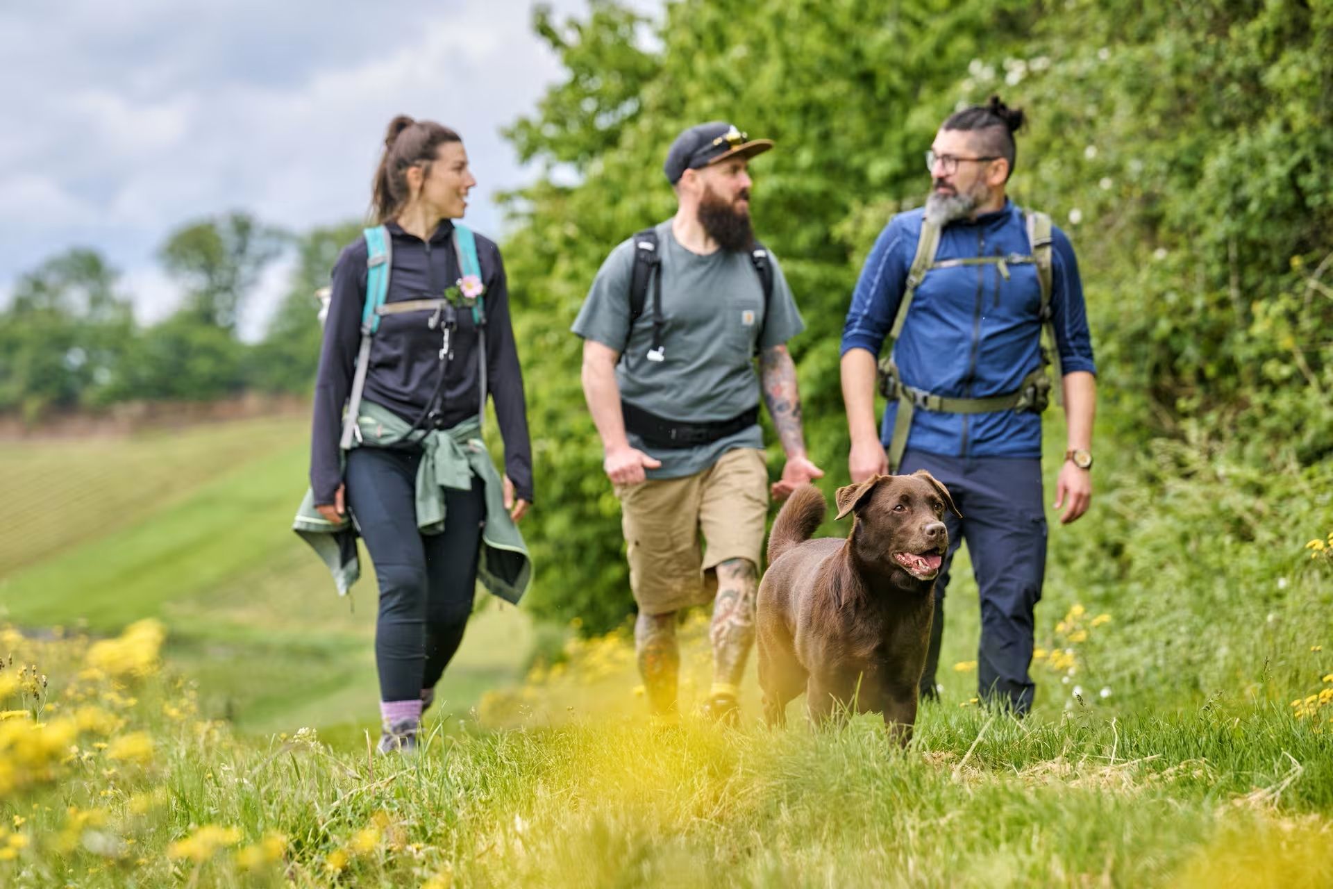
The Land of 1,000 Hills by bus and train – car-free hiking adventures
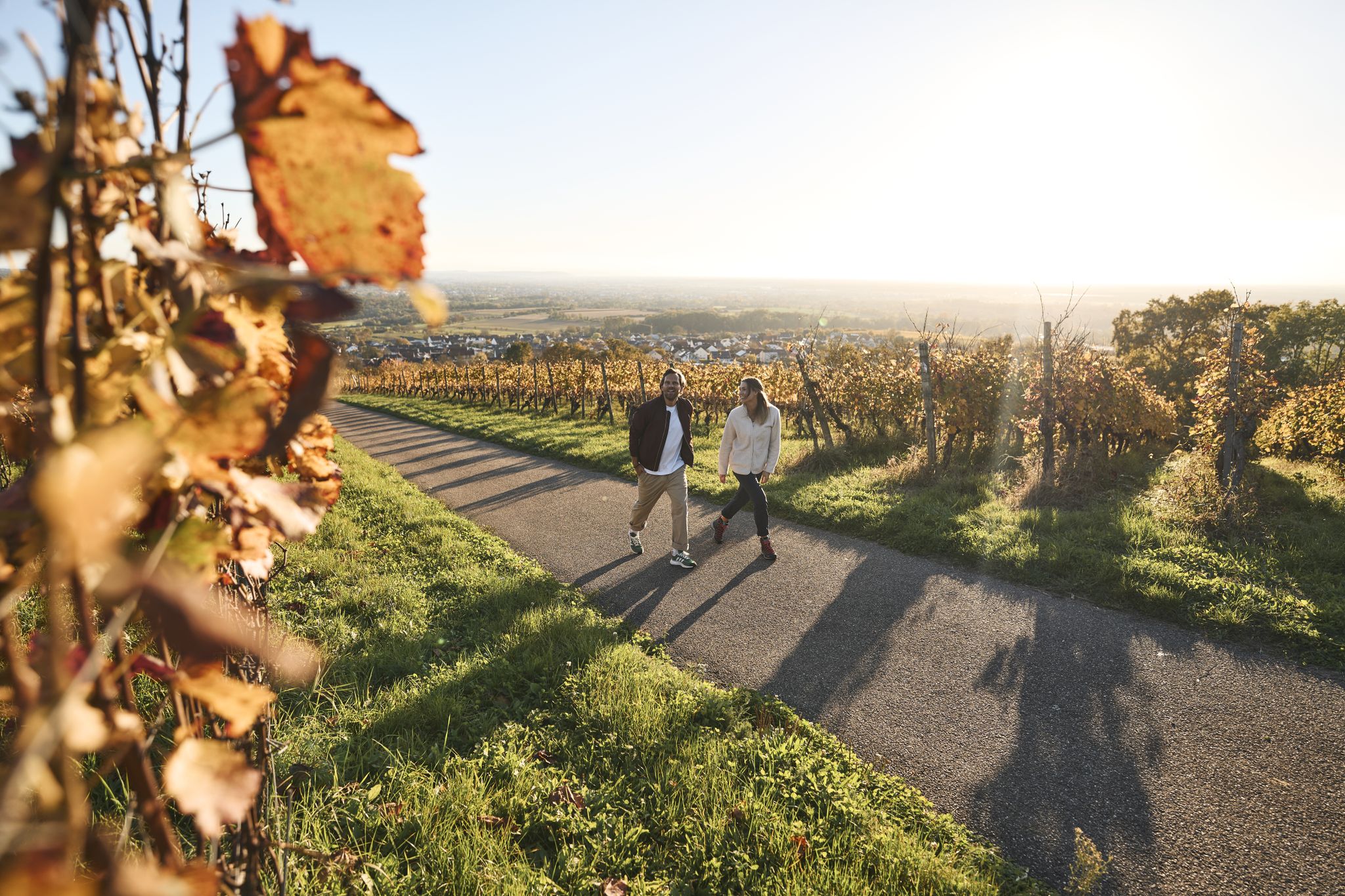
Fine drops and local cuisine – gourmet hiking in the Süden ganz oben
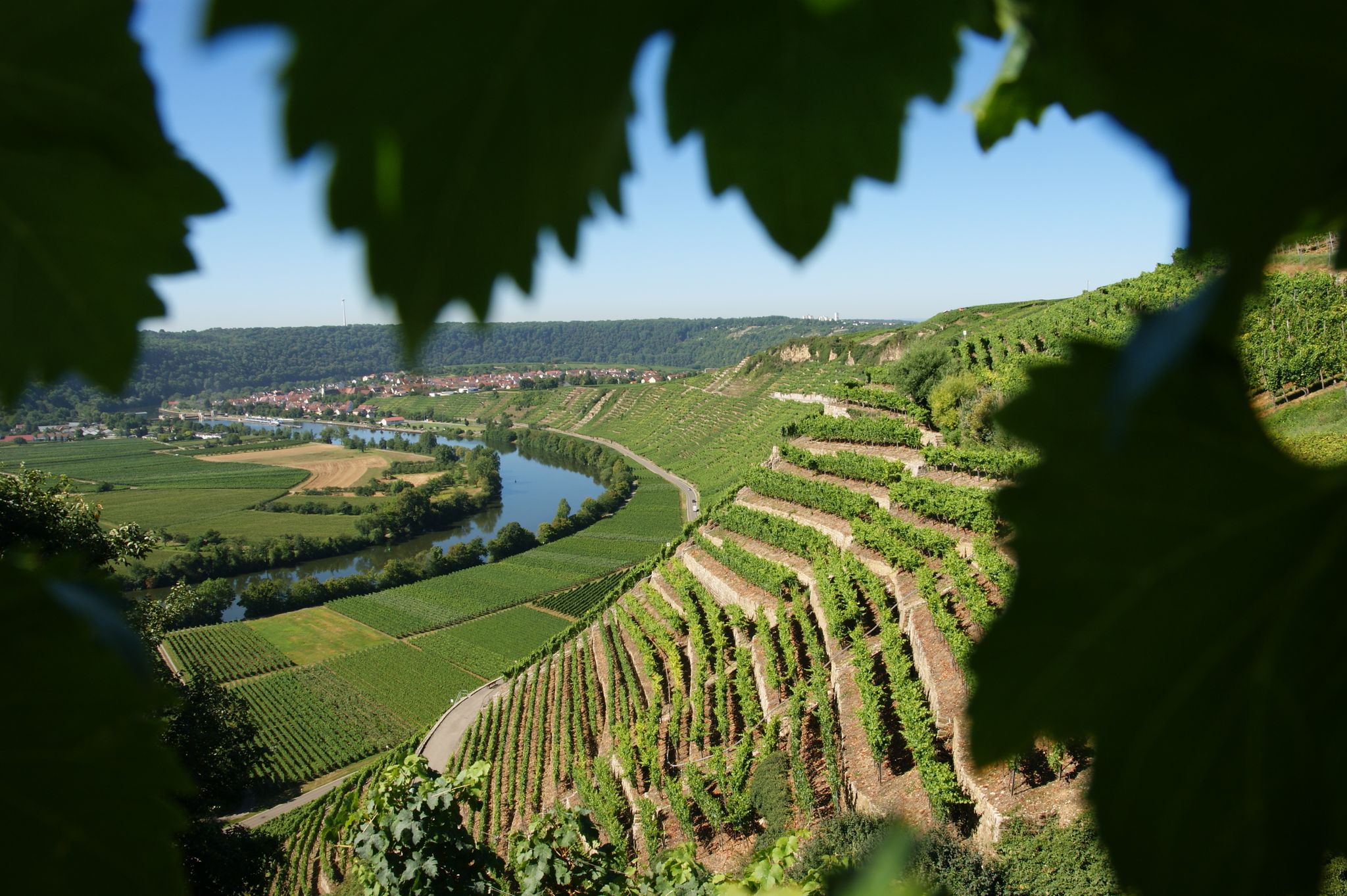
Where the wine grows in loops – hiking in the 3B-Land
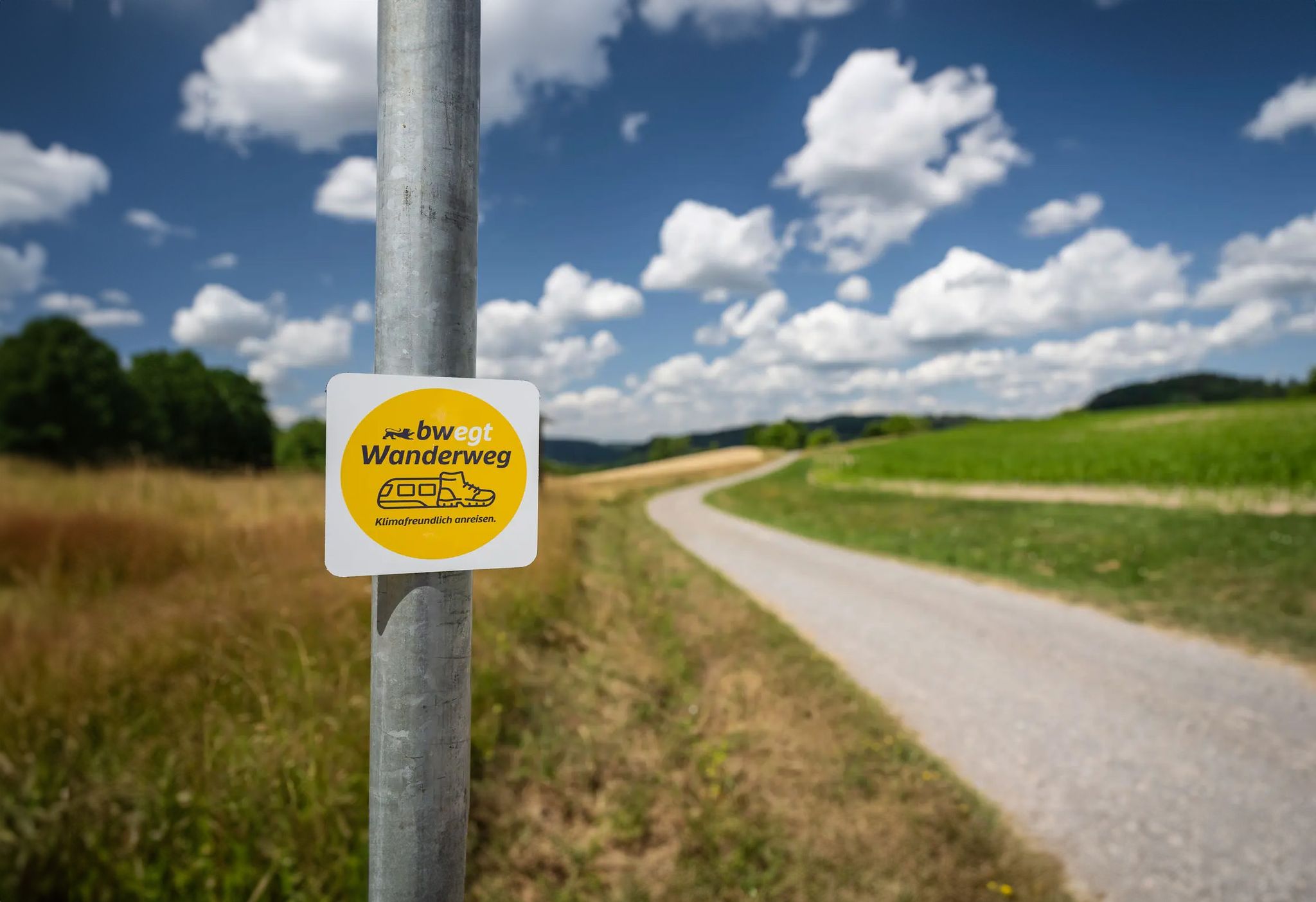
bwegt-Wanderwege – travel in a flexible way, experience more

Oases of calm – hill sofas in the land of 1,000 hills
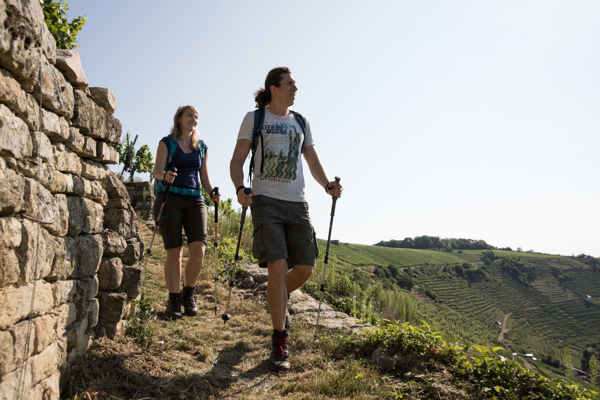
Württemberger Weinwanderweg - the Zabergäu-Schleife through the Land of 1000 Hills
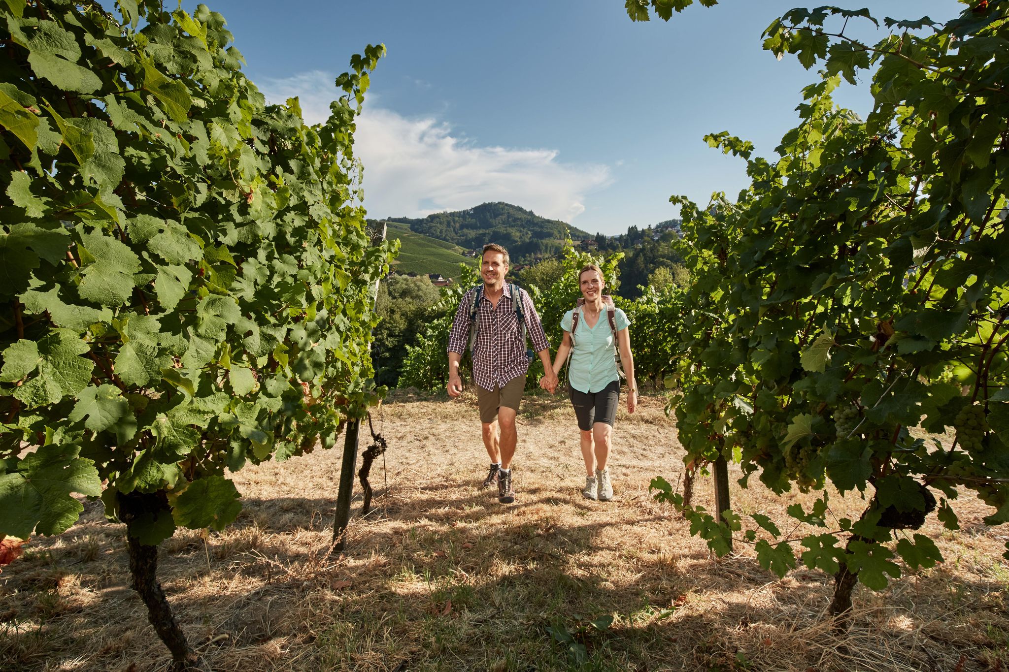
Foodie walks in southern Germany — hiking in Baden-Württemberg
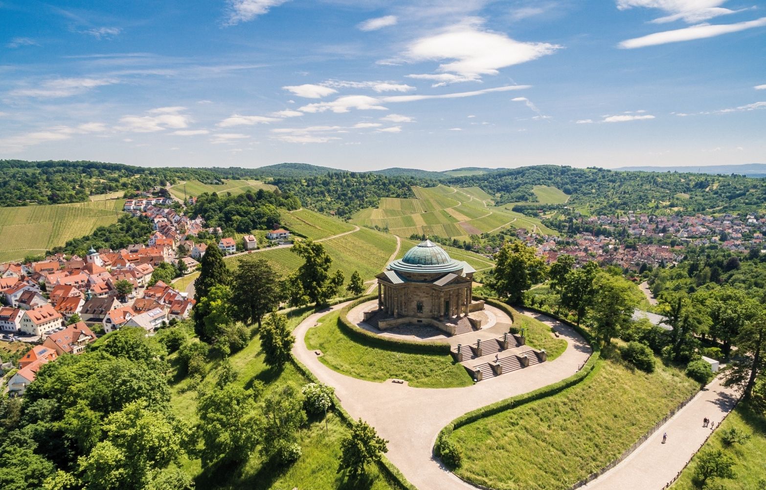
From grape to glass — 8 wine hikes in Württemberg

Spring in the land of 1,000 hills – Kraichgau-Stromberg in Germany
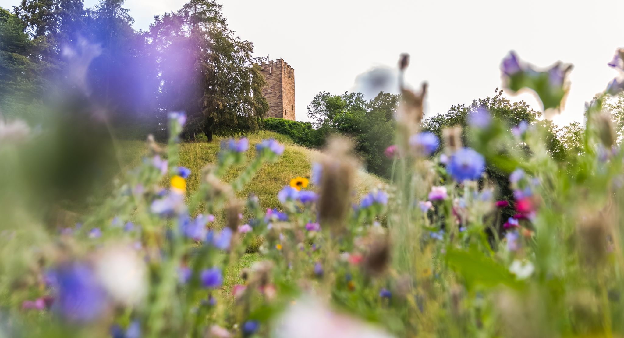
On foot in the nature park Stromberg-Heuchelberg
Other adventures around Landkreis Ludwigsburg


Tips from the Community

When the older ones need a rest, the little ones come alive. Here you can play, romp, and barbecue.
0
0

Buocher Höhe - beautiful panoramic view
0
0

Right next to the Korb shooting range is the barbecue and playground area at Hörnleskopf. It offers several play structures and a barbecue grill. It gets quite busy on weekends. The Hanweiler Saddle is a popular starting point for numerous hikes in our region. https://youtu.be/uENS3q4GiOY
0
0

Comfortable wooden lounger with a wonderful panoramic view over the Remstal valley – ideal for a relaxing break amidst the vineyards.
0
0

Nice playground and rest area. If you don't want to grill yourself, you can also enjoy a meal in the nearby beer garden.
0
0

... Barbecue and playground area at "Hörnleskopf" in the recreational area of "Korb" in the Rems-Murr district, Baden-Württemberg. - Accessible via the "red cross" and "red grape" markings, among others. - Uncovered barbecue area - https://www.korb.de/de/freizeit-kultur/freizeiteinrichtungen/grillplaetze
0
0
...the "Hanweiler Sattel" hiking parking lot near "Korb" in the Rems-Murr district, Baden-Württemberg. - Good starting point for hikes, including the "RemstalWeg" trail and the "Red Grape" and "Red Cross" trail markers. - Very (!) busy in good weather or on weekends. If you can plan ahead, avoid weekends (!). - Popular excursion destination/popular recreation area for mountain bikers, walkers, and hikers. - Parking lot sometimes overcrowded on weekends (2025).
1
0
...above the vineyards near "Grunbach" (district of Remshalden) in the Rems-Murr district, Baden-Württemberg. - this beautiful viewing platform was created as part of the vineyard consolidation (1965 - 1968) - 2 benches and seating available
0
0
Frequently Asked Questions
What kind of terrain can I expect on waterfall hikes in Landkreis Ludwigsburg?
The waterfall hiking trails in Landkreis Ludwigsburg offer a diverse landscape. You'll traverse river valleys, including those of the Neckar, Enz, and Glems, alongside vineyard slopes and forested sections. The region is characterized by picturesque routes along floodplains and through areas like the Enz valley with its steep vineyards. While not heavily forested, about 18% of the area is woodland, providing varied scenery.
Are there any family-friendly waterfall hikes in the region?
Yes, many of the trails are suitable for families. For instance, the Zipfelbach Stream in Oberes Zipfelbachtal – View of Hanweiler loop from Winnenden is a moderate 6.3-mile (10.1 km) trail that takes about 2 hours 54 minutes, offering an enjoyable experience for those looking for a manageable distance with scenic views.
Can I bring my dog on the waterfall trails in Landkreis Ludwigsburg?
Most trails in the region are dog-friendly, allowing you to enjoy the natural beauty with your canine companion. It's always a good idea to keep dogs on a leash, especially in nature reserves or areas with livestock, and to carry water for them. The varied terrain, from river paths to forested sections, provides a great outing for pets.
What is the best time of year to visit the waterfalls in Landkreis Ludwigsburg?
The best seasons for hiking in Landkreis Ludwigsburg, especially to enjoy the waterfalls, are spring and autumn. During these times, temperatures are mild, and nature is vibrant, with lush greenery in spring and beautiful foliage in autumn. After periods of rain, the waterfalls are typically at their most impressive.
Are there any circular waterfall routes available?
Yes, there are several circular routes that allow you to start and end at the same point. A popular option is the Grunbach Waterfall – View of the Remstal Valley loop from Oberes Zipfelbachtal mit Seitenklinge und Teilen des Sonnenbergs, which is a 6.9-mile (11.1 km) trail offering views of the Remstal Valley. Another great choice is the Grunbach Waterfall – View of the Remstal Valley loop from Korb, a moderate 9.6-mile (15.4 km) path with extensive views.
What do other hikers say about the waterfall trails in Landkreis Ludwigsburg?
The komoot community highly rates the hiking experience in Landkreis Ludwigsburg, with an impressive average score of 4.5 stars from over 20,000 reviews. Hikers often praise the varied terrain, from river valleys to vineyard slopes, and the well-maintained paths that make exploring the region's natural beauty enjoyable.
Are there any notable natural features or landmarks to see along the waterfall hikes?
Beyond the waterfalls themselves, the region offers several interesting natural features and landmarks. You can explore the unique geological formations like the Hessigheimer Felsengärten (Rock Gardens) or enjoy views of the Neckar from the Wobachfelsen Muschelkalk Cliffs. The trails also often pass through picturesque vineyards and along the scenic Neckar, Enz, and Glems rivers. For specific points of interest, you might find highlights like the Eselsburg Observation Tower offering panoramic views.
How many waterfall hiking trails are there in Landkreis Ludwigsburg?
There are several dedicated waterfall hiking trails in Landkreis Ludwigsburg. Our guide features 9 distinct routes that focus on showcasing the region's waterfalls and scenic river valleys.
Are there options for longer waterfall hikes in the area?
Yes, if you're looking for a longer outing, the Zipfelbach Stream in Oberes Zipfelbachtal loop from Oberes Zipfelbachtal mit Seitenklinge und Teilen des Sonnenbergs covers about 9.7 miles (15.6 km) and offers an extended experience through the beautiful landscape.
Are there places to eat or stay near the waterfall hiking areas?
While specific amenities vary by trail, the region of Landkreis Ludwigsburg has various options for dining and accommodation. Many towns and villages near the hiking areas offer cafes, pubs, and restaurants. For example, you might find places like the 7 Eichen Inn on the Lemberg, which is a restaurant in the vicinity. It's advisable to check local listings for specific locations near your chosen trail.
What is the typical difficulty level of waterfall hikes in Landkreis Ludwigsburg?
The waterfall hikes in Landkreis Ludwigsburg are generally rated as moderate. This means they typically involve some elevation changes and can be a bit longer, but are well-suited for hikers with a reasonable level of fitness. There are no trails rated as easy or difficult in this specific guide, ensuring a consistent experience.
Most popular routes around Landkreis Ludwigsburg
Most popular attractions around Landkreis Ludwigsburg

Get inspired with the komoot mobile app


