The best walks and hikes in Tooele County
4.8
(6)
59
hikers
19
hikes
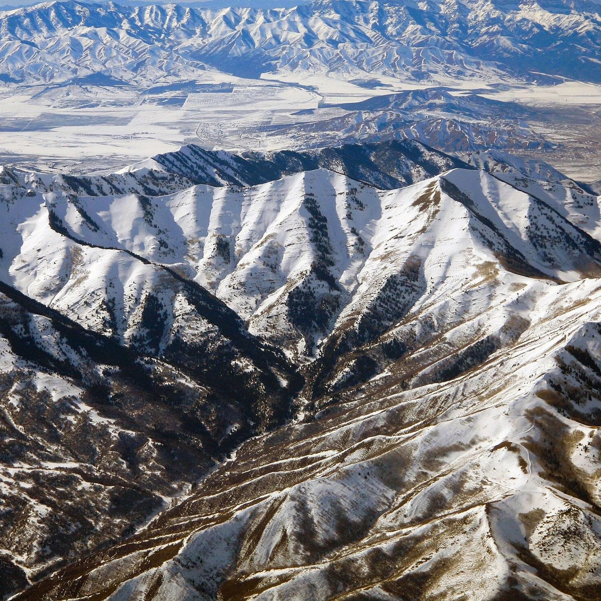
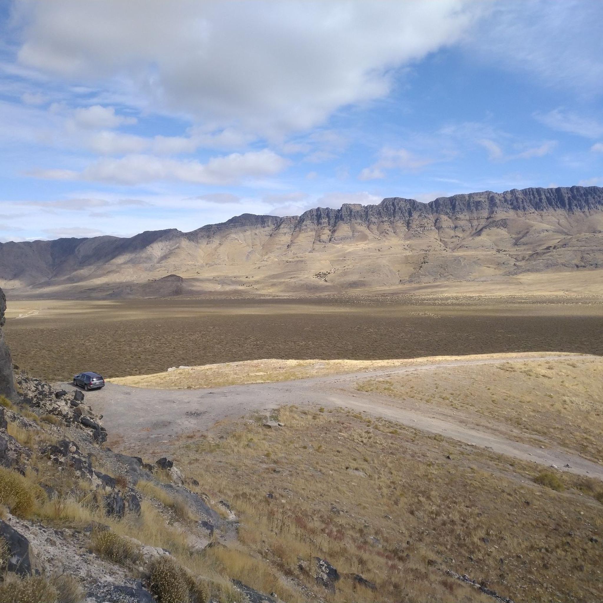
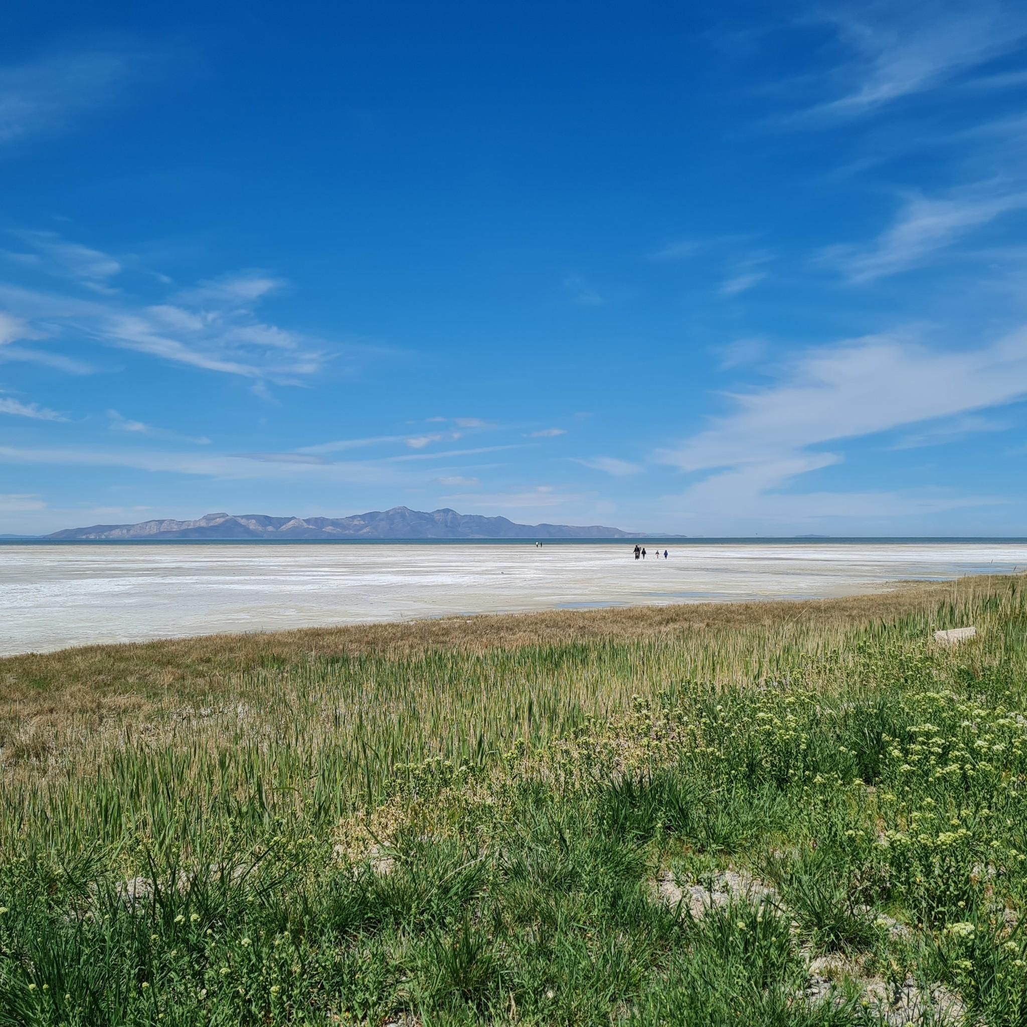
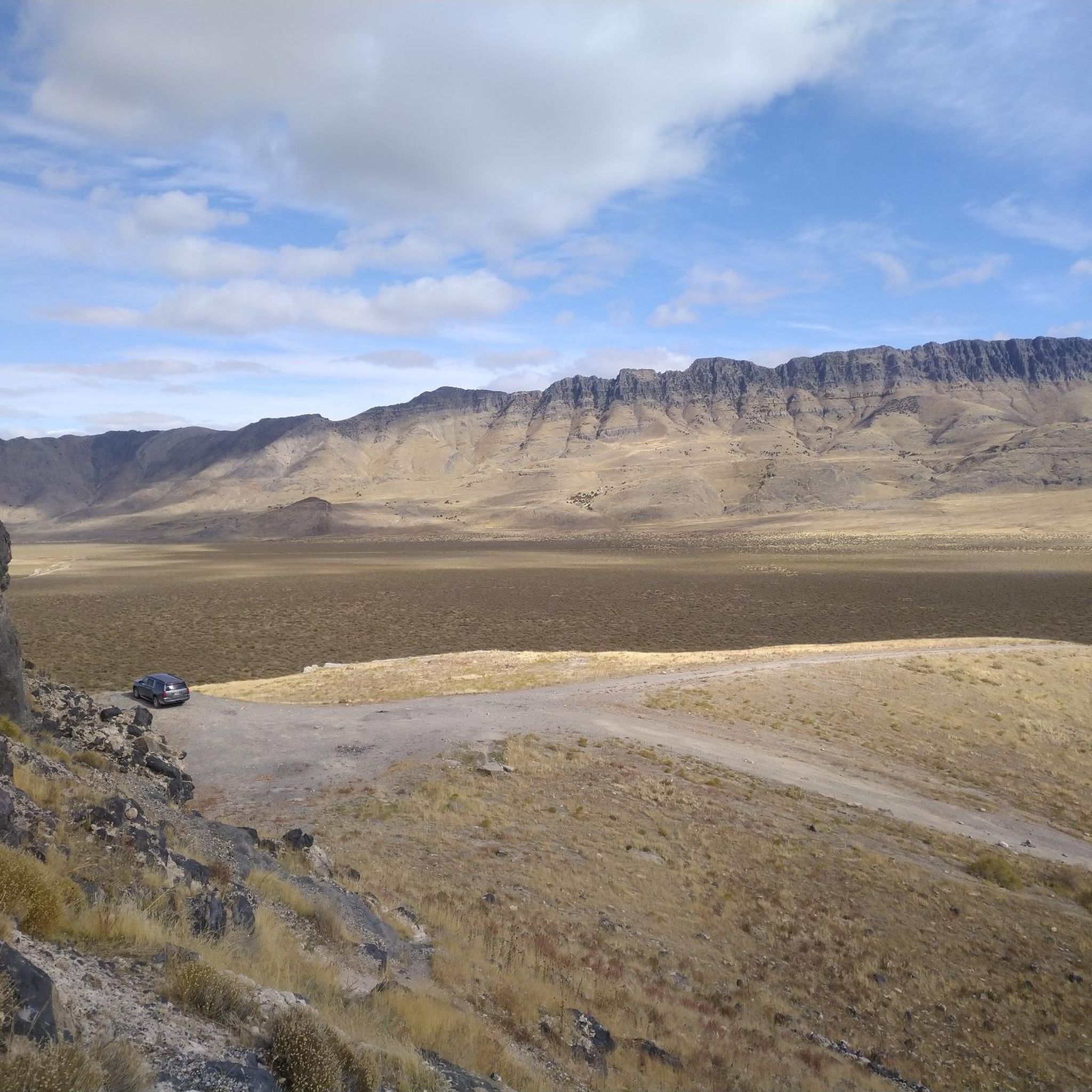
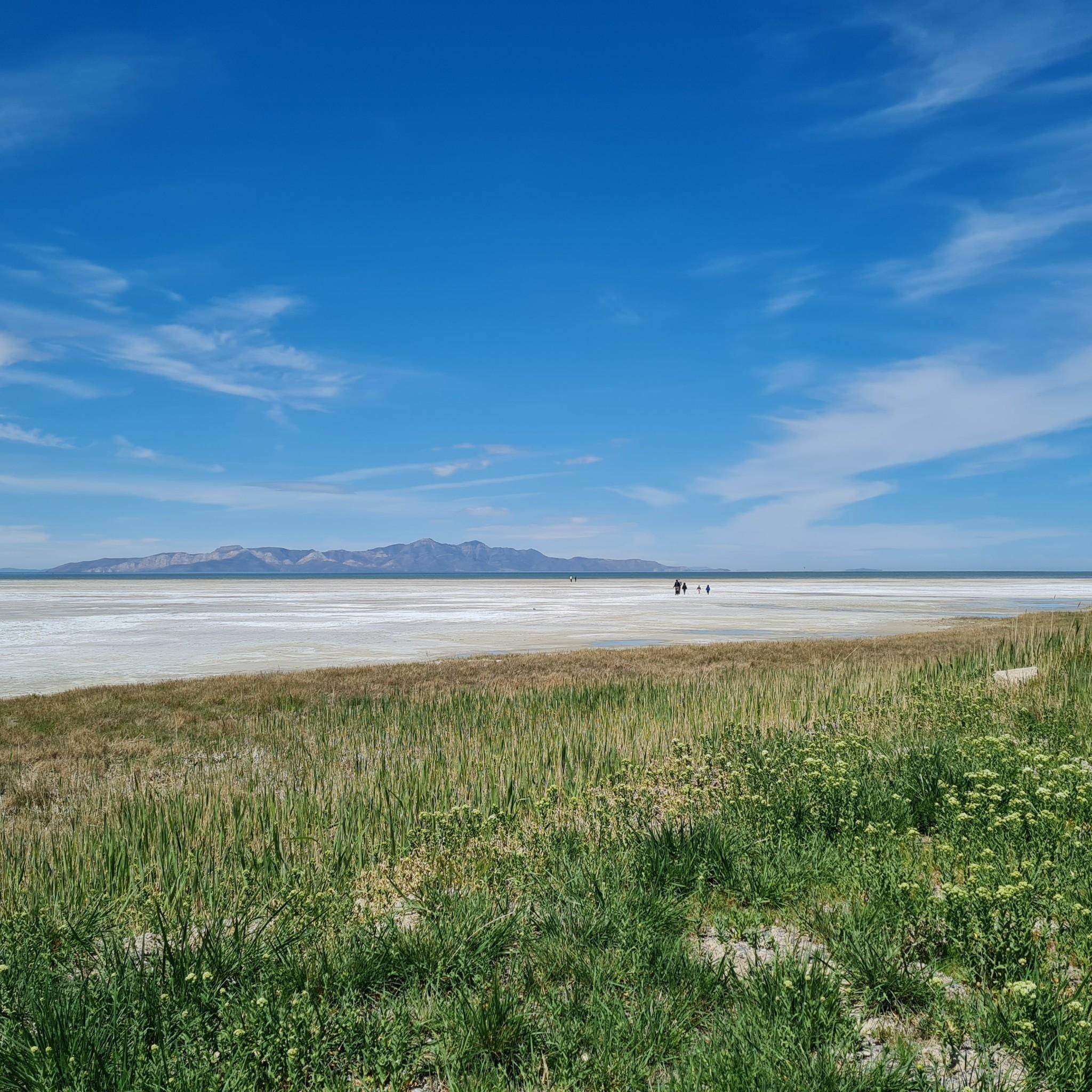
Hiking in Tooele County offers a diverse landscape characterized by the Oquirrh and Stansbury Mountains, vast deserts, and scenic canyons. The region features varied terrain, from high-elevation ridges and prominent peaks to forested canyons and flat salt plains. This geography provides a wide array of natural features and elevation profiles for outdoor enthusiasts.
Best hiking trails in Tooele County
- The most popular hiking route is Dark Trail, a 2.8 miles (4.6 km) trail that takes 1 hour 16 minutes…
Last updated: August 3, 2026
5.0
(1)
17
hikers
13.4km
07:23
1,120m
1,090m
Embark on the Deseret Peak Wilderness Loop, a difficult hiking route that challenges you with 3671 feet (1119 metres) of elevation gain over 8.3 miles (13.4 km). This demanding journey…
5.94km
02:55
590m
80m
Embark on a challenging hike to South Willow Lake via the Stansbury Crest Trail, a difficult route that covers 3.7 miles (5.9 km) with a significant elevation gain of 1927…

Sign up for free
3.37km
01:22
210m
50m
Embark on the Medina Flats Trail for a moderate hiking experience that rewards you with expansive views. This 2.1-mile (3.4 km) route involves a climb of 694 feet (212 metres),…
1.43km
00:38
210m
0m
The T Trail offers a brisk, uphill hike that's perfect for a quick escape into nature in Tooele County, Utah. Despite its easy difficulty rating, you'll gain 699 feet (213…
8
hikers
12.7km
05:09
1,050m
1,050m
Embark on a difficult hike up Deseret Peak via Mill Fork Canyon, a challenging route covering 7.9 miles (12.7 km) with a significant 3433 feet (1046 metres) of elevation gain.…
4
hikers
2.90km
01:05
200m
200m
The Tooele 'T' Trail offers a fantastic, quick escape into the mountains, leading you through changing Great Basin vegetation from sagebrush to juniper. The path winds past a large butte…
1
hikers
Embark on a moderate hike through the Oquirrh Mountains, a 7.0-mile (11.2 km) loop that takes approximately 3 hours and 49 minutes to complete. You will gain 1848 feet (563…
1
hikers
14.7km
05:45
1,080m
1,080m
Embark on a challenging hike to the twin summits of Kelsey Peak and White Pine Peak, a difficult route that takes you through the rugged Oquirrh Mountains. This trail spans…
2
hikers
8.27km
02:39
360m
360m
Embark on the Copper Mine Overlook Road for a moderate hike offering expansive views across the Oquirrh Mountains. This route spans 5.1 miles (8.3 km) and involves a steady climb…
4.0
(1)
2
hikers
4.58km
01:17
90m
90m
Step onto the Dark Trail in Settlement Canyon, Tooele, and immediately feel the embrace of its namesake shade. This easy 2.8-mile (4.6 km) out-and-back hike winds through dense foliage along…
Get access to more routes and recommendations from other explorers.
Sign up for free
Already have an account?
Our route recommendations are based on thousands of hikes, rides, and runs completed by other people on komoot.
Start today with a free account
Your next adventure awaits.
Login or Signup


Tips from the Community

Miller Fork Canyon Trail is a popular way to get to Deseret Peak and South Willow Lake. The trail begins in South Willow Canyon with a gentle climb, followed by switchbacks leading to a ridge with views into Indian Hickman Canyon. This section of trail takes you through aspen, fir, and spruce forests, with sections of open meadow as you climb higher, with wildflowers in the summer. Autumn is particularly stunning, with vibrant fall colors and there are abundant opportunities for wildlife sightings all-year-round, that include deer, coyote, and grouse. Starting early in the summers is key and you should bring ample water as none is available on the trail.
0
0
White Pine Canyon Trail is a rough, challenging trail that quickly ascends White Pine Canyon, beneath White Pine Peak though pine forests and large aspen groves. It's a great trail to do on its own, or link with the Butterfield Peaks Trail, or with the trail up to Kelsey and White Pine Peaks, or Middle Canyon South Meadow Trail for a nice loop. This trail can be made even more challenging in the spring and summer by downed trees so be sure to check in with locals about the trails conditions before heading up here.
0
0
The short, steep trail up to the giant white "T" for Tooele is a local favorite for getting in a quick challenging hike during a lunch break or after work. The grade of the trail is made a little harder by the gravelly, sometimes slippery nature of the path, but is a nice way to get the heart pumping. Once you reach the bottom of the "T" you get great views over the town and surrounding area. If you wish to scramble to the top of the "T" there is an unofficial series of short, steep switchbacks to the top that can be a little loose at spots. Be on the lookout for rattlesnakes during the warmer months!
0
0
White Pine Peak stands at 10,321 feet and is a great summit to do in addition to Kelsey Peak and the Butterfield Peaks for an epic day hike. This open summit is marked by a stone cairn and sign, and gives you sweeping, panoramic views of the surrounding mountains.
0
0
Kelsey Peak is a 10,373-foot mountain on the boundary of Tooele and Utah Counties in Utah, making it the fourth-highest summit in the Oquirrh Mountains. This is a challenging, remote-feeling summit that is often completed in conjunction with White Pine Peak, which is just north of it. The trail up the steep ridge can be a little faint at times, but fortunately since you are ridge running, it's not hard to generally stay on the trail. In the summertime, especially after a wet spring, there are abundant wildflowers making Kelsey Peak a great place to rest, relax, and snap some photos of the flora and surrounding mountains.
0
0
South Willow Lake is a beautiful alpine lake located in the Deseret Peak Wilderness. This lake is a must-do if in the area and if you're looking for a less challenging (but still hard and rewarding!) or committing hike than Deseret Peak or some of the surrounding summits. The lake is usually reached either via the Stansbury Crest Trail or Mining Fork Trail.
0
0
Butterfield Peaks are a twin set of summits in the Oquirrh Mountains, just west of Salt Lake City. These two summits sit across from each other and make for a great, challenging day hike. The eastern summit has a radio tower and an access road up to it, but the western peak has no man-made structures, making it perhaps the better of the two summits to pause at and snap some photos.
0
0
Middle Canyon South Meadow Trail connects Butterfield Pass to White Pine Road along the south end of Middle Canyon. This scenic singletrack trail passes through a pine forests and aspen groves with a creek crossing at the confluence of two small streams below Butterfield Peaks.
0
0
Frequently Asked Questions
How many hiking trails are available in Tooele County?
Tooele County offers a wide range of hiking opportunities, with over 19 distinct trails documented on komoot. These routes cater to various skill levels, from easy strolls to challenging mountain ascents.
Are there any easy, family-friendly hikes in Tooele County?
Yes, Tooele County has several easy trails suitable for families. For instance, the T Trail is an easy 1.4-mile (2.3 km) hike with a challenging climb to the iconic 'T' landmark, offering panoramic views of Tooele Valley. Another option is the Tooele 'T' Trail, a 1.8-mile (2.9 km) path with similar views.
What are the best trails for panoramic views in Tooele County?
Many trails in Tooele County offer stunning panoramic views due to its mountainous terrain. The Deseret Peak via Mill Fork Canyon Trail leads to the summit of Deseret Peak, providing 360-degree views of Tooele County and parts of the Wasatch Front. The T Trail also offers expansive views of the Tooele Valley.
Are there any challenging hikes for experienced trekkers?
Absolutely. For experienced hikers, the Kelsey Peak & White Pine Peak trail is a challenging 9.1-mile (14.7 km) route that involves significant ascents in the Stansbury and Oquirrh Mountains. Another demanding option is the South Willow Lake via Stansbury Crest Trail, a difficult 3.7-mile (6.0 km) hike with considerable elevation gain.
What kind of natural features can I expect to see while hiking in Tooele County?
Tooele County's diverse landscape means you'll encounter a variety of natural features. Trails often wind through forested canyons, past streams, and into high-elevation ridges. You can expect to see rugged mountain terrain, aspen groves, wildflower meadows, and dramatic views of the Great Basin ecosystem. The region is framed by the Oquirrh and Stansbury Mountains, offering varied terrain from shaded canyons to prominent peaks.
Are there any loop trails in Tooele County?
Yes, Tooele County features several loop trails. While the popular Butterfield Peaks loop is well-known, you can also explore other circular routes that offer diverse scenery and return you to your starting point. These loops provide a great way to experience different aspects of the county's natural beauty without retracing your steps.
What are some notable landmarks or attractions near the hiking trails?
Beyond the trails themselves, Tooele County offers several points of interest. You can explore the Miller Fork Canyon Trail or the unique landscape of Stansbury Island Trail. For mountain enthusiasts, Fisher Pass and Butterfield Peaks are significant summits. The Dry Lake Pockets Fork Trail also offers an interesting natural feature.
What do other hikers enjoy most about hiking in Tooele County?
The komoot community highly rates hiking in Tooele County, with an average score of 5.0 stars from over 5 reviews. Hikers often praise the diverse terrain, from challenging mountain climbs to peaceful canyon strolls, and the panoramic views offered by many of the trails.
Are there any trails that are less crowded or considered 'hidden gems'?
While specific crowd levels can vary, trails like Medina Flats Trail, a moderate 2.1-mile (3.4 km) route, might offer a more secluded experience compared to the most popular routes. Exploring trails within the vast Deseret Peak Wilderness, such as those leading to Deseret Peak, can also provide a sense of solitude amidst rugged beauty.
Can I find trails that are shaded or follow water in Tooele County?
Yes, several canyons in Tooele County offer shaded trails and often follow creeks. Settlement Canyon, for example, features trails winding through pine forests and alongside streams, providing a cooler and more lush hiking experience, especially during warmer months. The Dark Trail is a prime example, following a creek through a shaded canyon.
What is the best season for hiking in Tooele County?
The best season for hiking in Tooele County generally depends on the elevation. Spring and fall offer pleasant temperatures for most trails, with vibrant wildflowers in spring and stunning foliage in autumn. Higher elevation trails in the Stansbury and Oquirrh Mountains are best enjoyed from late spring through early fall to avoid snow. Lower elevation trails can be accessible year-round, though summer can be hot and winter may require snowshoes or spikes.
Are there any trails that offer a glimpse into the region's history?
Ophir Canyon combines hiking with glimpses of historic mining structures, offering a unique opportunity to connect with Tooele County's past while enjoying the outdoors. While not explicitly detailed in the provided routes, exploring trails in areas known for historical mining can provide this experience.
Most popular attractions in Tooele County

Get inspired with the komoot mobile app


Didn’t find what you were looking for?
Check out more Hikes throughout Tooele County below and find the perfect route in your destination.
Explore more
Browse the best Hikes in other regions.
