The best running trails around Étrépigny
4.2
(25)
2,379
runners
13
runs
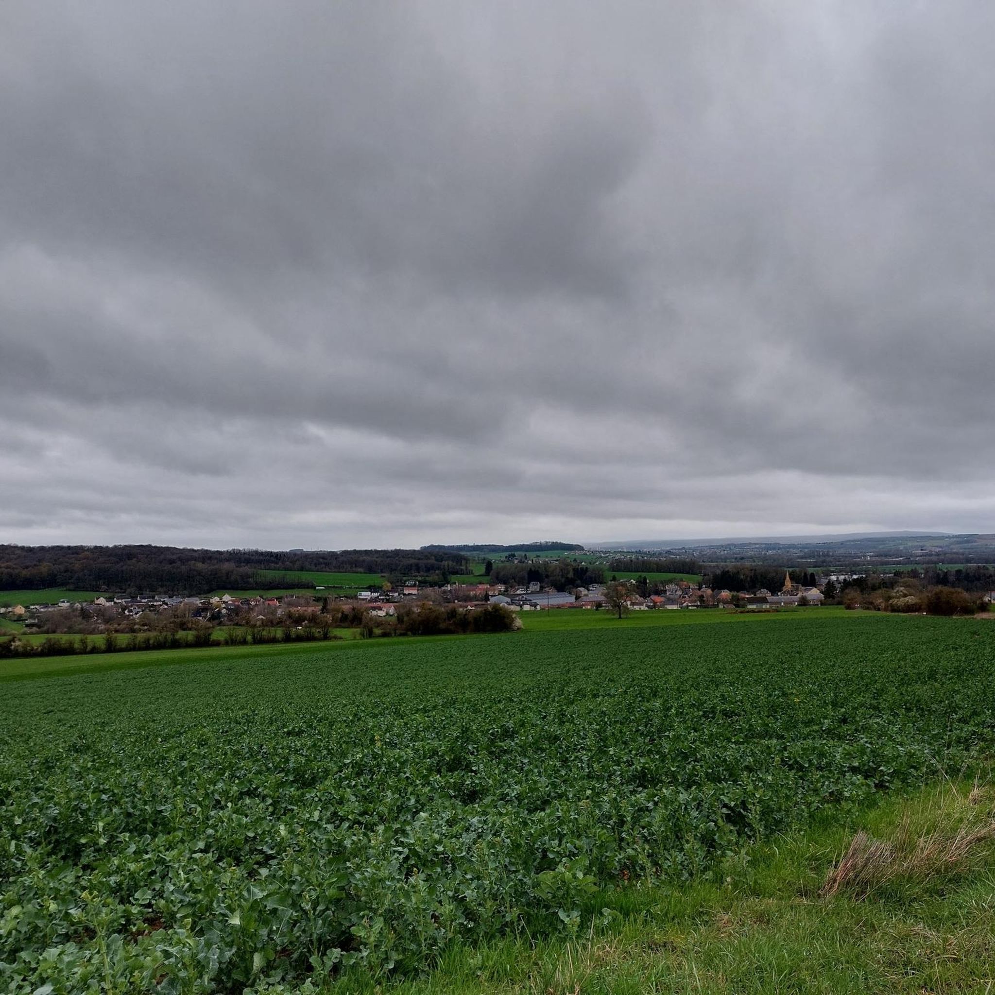
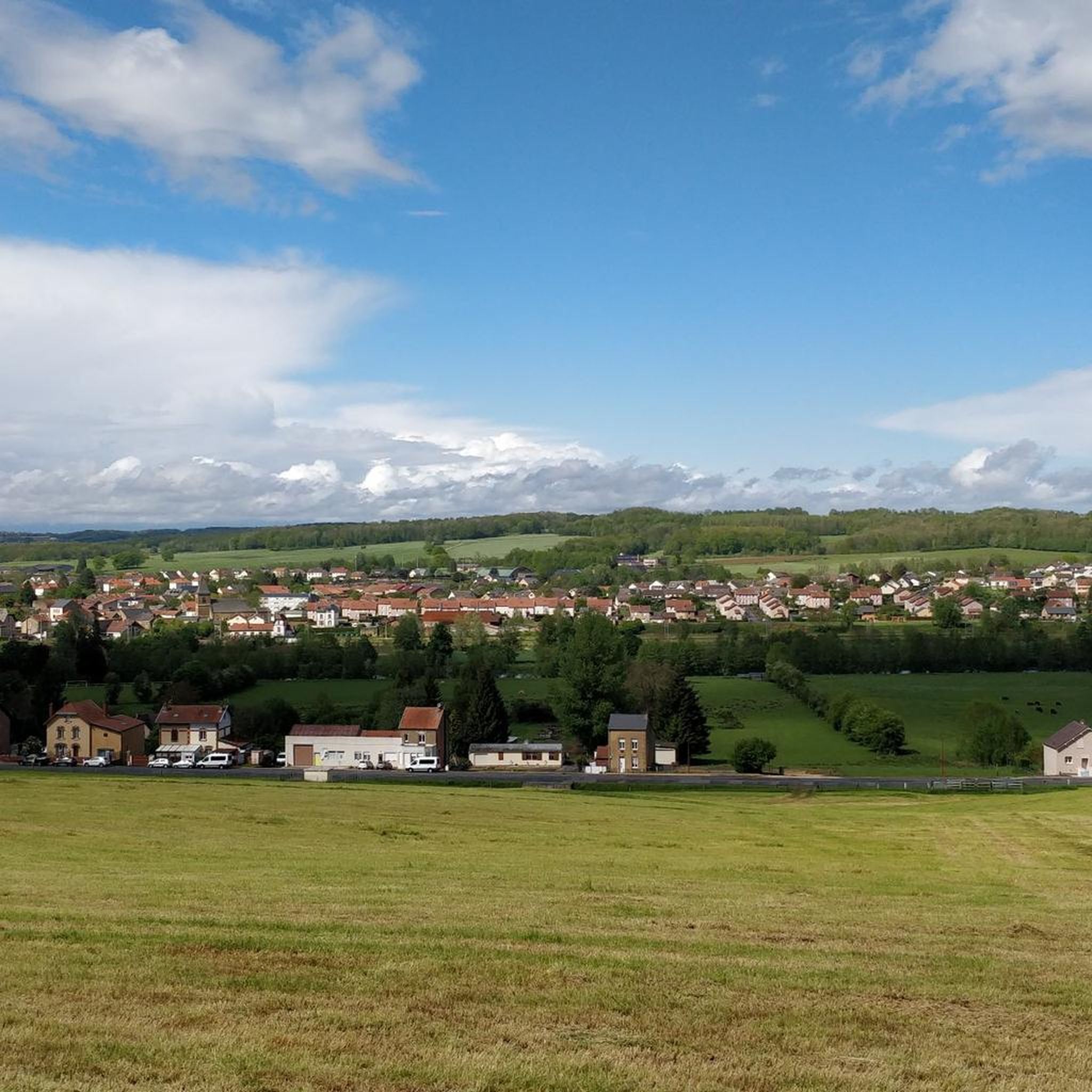
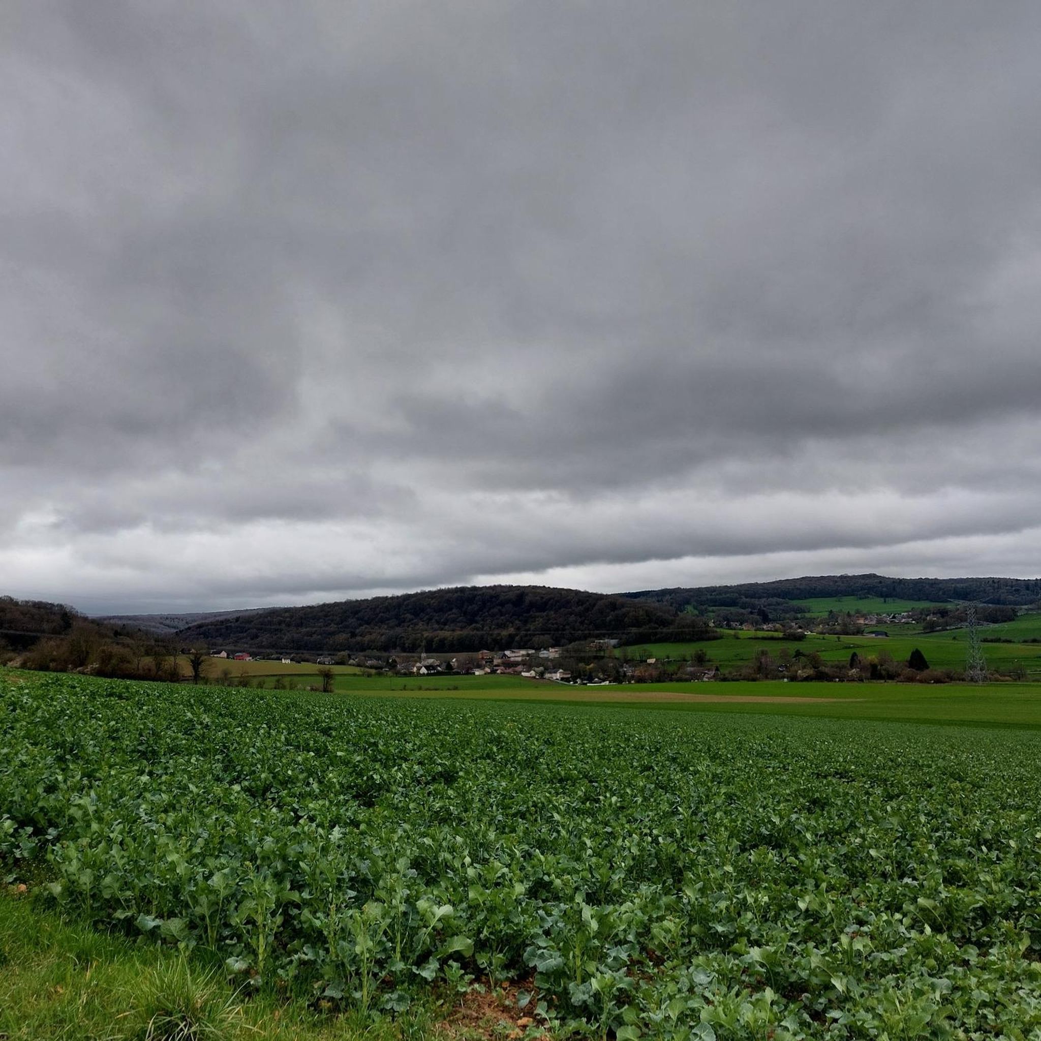
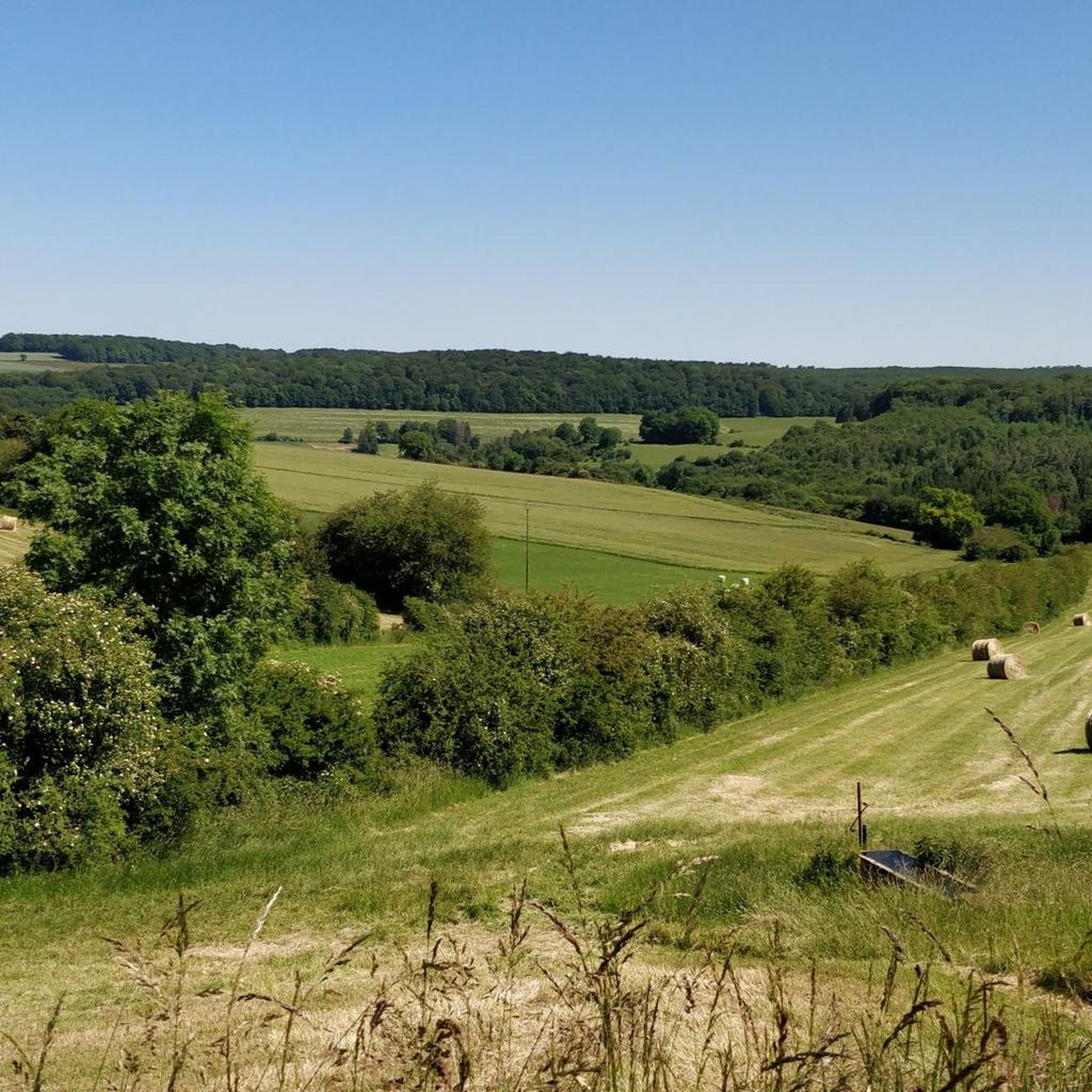
Jogging around Étrépigny offers a diverse natural landscape within the Ardennes region of France. The terrain is characterized by its hilly, forested nature, providing varied elevations for running. Numerous paths wind through dense woodlands, offering shaded routes. The broader Ardennes Regional Natural Park, which encompasses Étrépigny, features a dense hydrographic network with river valleys and diverse topography, from forests to bocage meadows.
Best jogging routes around Étrépigny
- The most popular jogging route is Running loop from Étrépigny, a 4.9…
Last updated: November 5, 2026
8
runners
7.96km
01:00
150m
140m
Moderate run. Good fitness required. Mostly paved surfaces.
6
runners
9.94km
01:07
110m
110m
Moderate run. Good fitness required. Mostly paved surfaces.

8
runners
15.1km
01:49
270m
270m
Hard run. Very good fitness required. Mostly paved surfaces.
6
runners
16.7km
02:09
450m
440m
Hard run. Very good fitness required. Mostly paved surfaces.
4
runners
15.8km
01:54
320m
320m
Hard run. Very good fitness required. Mostly paved surfaces.
Get access to more routes and recommendations from other explorers.
Already have an account?
Our route recommendations are based on thousands of hikes, rides, and runs completed by other people on komoot.
Start today with a free account
Your next adventure awaits.

Tips from the Community

Built at the beginning of the 19th century, Flize Castle then became a cloth factory, then a spinning mill, before once again becoming a private home.
1
0

The Flize metal bridge is an emblematic site of the First World War. In 1914, in order to limit the advance of German troops, the French mined it. In 1916, the Germans began its reconstruction, carried out mainly by Russian and Italian prisoners of war held in a work camp. Many soldiers died in these places. The Green Bridge, as Flize residents affectionately call it, was built in 1906 to provide access to the Flize steel factory. It allowed the transport by rail of the raw materials the factory needed and the departure of manufactured steel throughout Europe.
1
0

Historical place occupied by German troops in WWI.
1
0
Historical place, 1st World War
1
0
Frequently Asked Questions
How many running routes are available around Étrépigny?
There are over 15 running routes around Étrépigny, offering a variety of experiences for different fitness levels. The komoot community has explored these trails over 2300 times, providing an average rating of 4.1 stars.
What kind of terrain can I expect on the running trails in Étrépigny?
The terrain around Étrépigny is characterized by its hilly, forested nature, typical of the Ardennes region. You'll find numerous paths winding through dense woodlands, offering shaded routes and varied elevations. The broader Ardennes Regional Natural Park also features diverse topography, from forests to bocage meadows, ensuring a wide range of running experiences.
Are there any circular running routes in Étrépigny?
Yes, Étrépigny offers several excellent circular running routes. A popular choice is the Running loop from Étrépigny, which is 7.9 km long. Another well-liked option is the Étang d'Alger loop from Étrépigny, a moderate 11.8 km path with scenic views.
What are some natural features or landmarks I might see while running near Étrépigny?
While running near Étrépigny, you'll encounter the region's dense forests and river valleys. The Étang d'Alger loop from Étrépigny offers scenic views around the Étang d'Alger. The broader Ardennes region is known for its diverse landscapes, including features like the Rocroi plateau and panoramic viewpoints such as Roc-la-Tour. You might also encounter the Trans-Ardennes Greenway, a major waterway route.
Are the running routes in Étrépigny suitable for families?
Many of the trails in the Étrépigny area, especially those along flatter sections or through less challenging forest paths, can be suitable for families. The region's commitment to well-maintained natural sites means there are accessible options. For a more relaxed experience, consider routes that avoid significant elevation changes.
Can I bring my dog on the running trails around Étrépigny?
Generally, dogs are welcome on trails in the Ardennes region, including those around Étrépigny. However, it's always advisable to keep your dog on a leash, especially in forested areas or near wildlife, and to check for any specific local regulations or signage on individual routes.
What is the best season for running in Étrépigny?
The Ardennes region, including Étrépigny, offers beautiful running conditions throughout much of the year. Spring and autumn provide pleasant temperatures and vibrant scenery with changing foliage. Summer runs are enjoyable, particularly on shaded forest paths. Even winter can be beautiful, though some trails might be muddy or require appropriate gear.
Are there any challenging running routes for experienced runners?
Yes, Étrépigny offers several challenging routes. For instance, the Étang d'Alger – Carrière de Dom loop from Étrépigny is a difficult 15.1 km trail with significant elevation changes. Another demanding option is the Carrière de Dom loop from Étrépigny, covering 15.8 km with over 300 meters of ascent.
What do other runners enjoy most about jogging in Étrépigny?
The area is highly rated by the komoot community, with an average score of 4.1 stars. Reviewers often praise the diverse natural landscape, the quiet woodlands, and the varied topography that provides both challenging and leisurely running experiences. The scenic views around places like the Étang d'Alger are also frequently highlighted.
Are there any easy or beginner-friendly running routes in Étrépigny?
While many routes have moderate elevation changes, the region offers paths suitable for beginners. Look for routes described as having less significant elevation gain. The extensive network of marked footpaths in the Ardennes includes options for all fitness levels, allowing you to choose a path that matches your comfort.
Is there parking available near the running trails in Étrépigny?
Specific parking information for each trail can often be found on individual route pages on komoot. Generally, in smaller communes like Étrépigny and within the Ardennes Regional Natural Park, you can often find parking near trailheads or in village centers, providing convenient access to the running routes.
What are some longer running routes if I want to go for an extended run?
For longer runs, consider routes like the Étang d'Alger – Carrière de Dom loop from Étrépigny, which spans 15.1 km. Another excellent option is the Carrière de Dom loop from Étrépigny, covering 15.8 km, or the Étang d'Alger – Château Abbatial loop from Étrépigny, which is 14.3 km long.
Most popular attractions around Étrépigny

Get inspired with the komoot mobile app


Explore more
Browse the best Running Trails & Routes in other regions.
