The best gravel rides around Montpinier
4.6
(25)
206
riders
12
rides
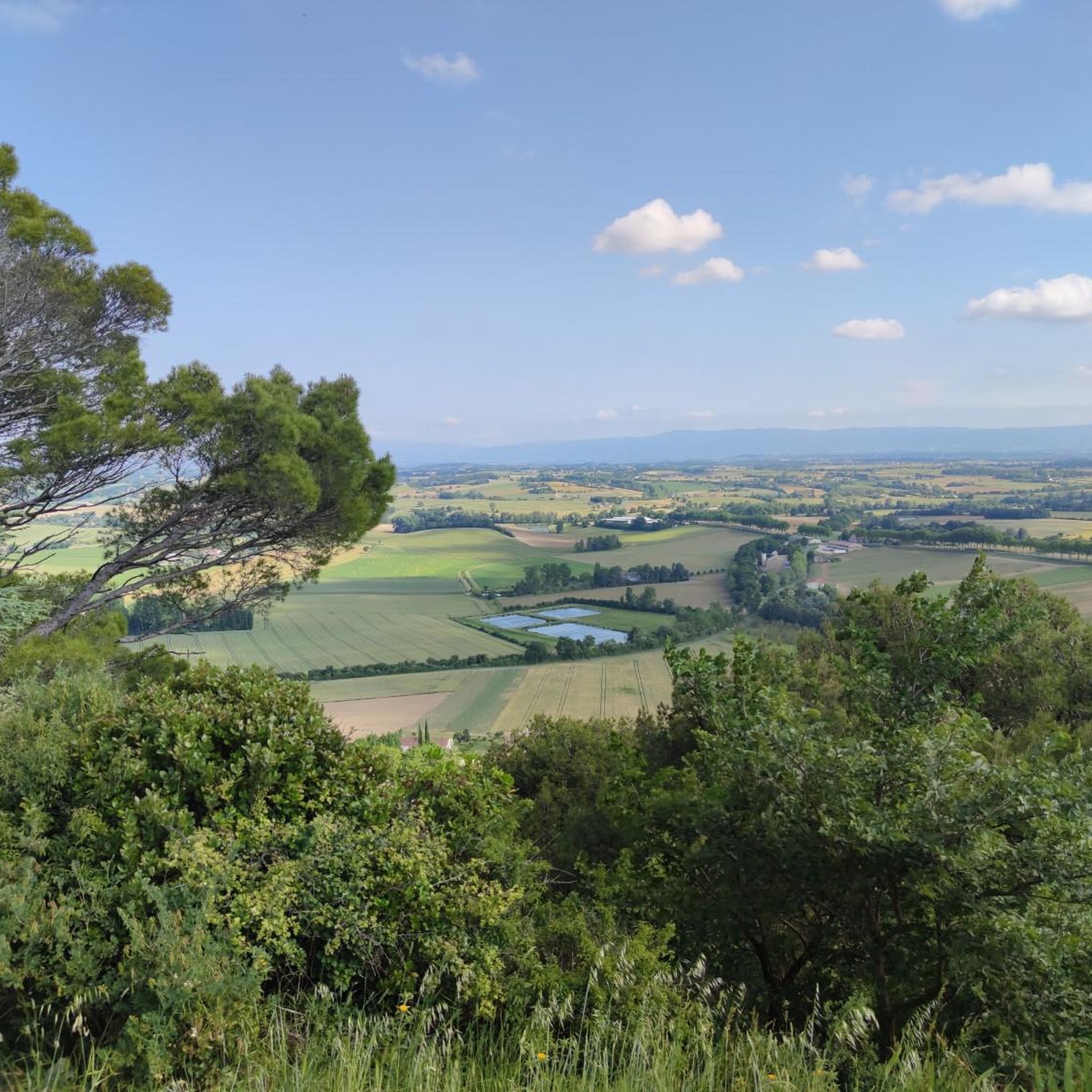
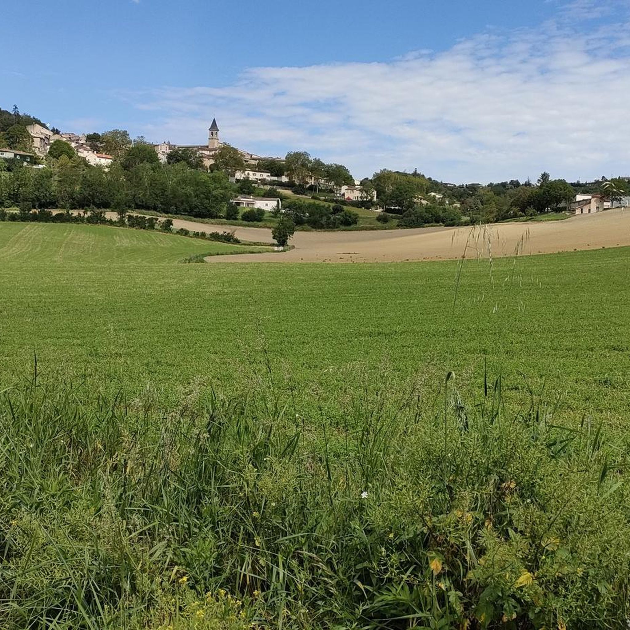
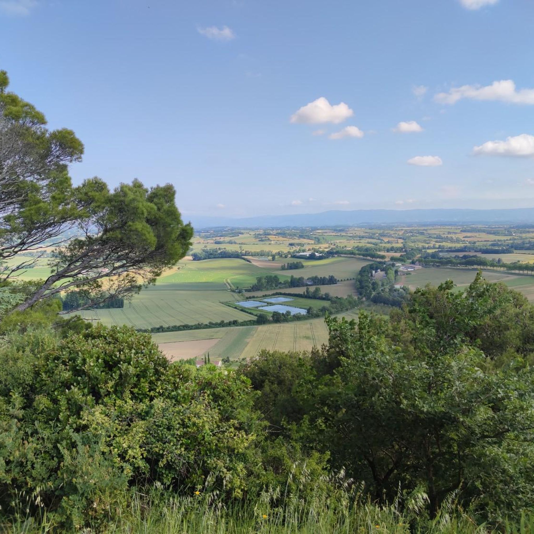
Gravel biking around Montpinier, located in the Tarn department of Southern France, offers access to a tranquil, rural landscape characterized by agricultural areas and quiet countryside roads. The region features a mix of paved and unpaved surfaces, providing varied terrain for gravel cyclists. Diverse natural features include dense forests, tranquil lakes, and river valleys, with routes that can involve significant elevation gains. This topography provides a range of challenges for different skill levels.
Best gravel bike trails around Montpinier
- The…
Last updated: November 17, 2026
12
riders
37.8km
02:46
750m
750m
Hard gravel ride. Very good fitness required. You may need to push your bike for some segments of this route.
6
riders
11.2km
00:39
140m
140m
Easy gravel ride. Mostly paved surfaces.

3
riders
17.5km
01:30
440m
440m
Moderate gravel ride. Good fitness required. Mostly paved surfaces.
5.0
(1)
7
riders
32.5km
01:43
190m
190m
Moderate gravel ride. Good fitness required. Mostly paved surfaces.
Get access to more routes and recommendations from other explorers.
Already have an account?
Our route recommendations are based on thousands of hikes, rides, and runs completed by other people on komoot.
Start today with a free account
Your next adventure awaits.

Tips from the Community

This lake is truly magnificent! Its dark and smooth water offers a mirror effect of the entire surrounding landscape, and its rocks in the water enhance this picture! A top spot, it's just a shame it passes so close to the road, although it wasn't very busy when I went, and the presence of the parking lot could bring more motorists, I imagine. When I went there weren't too many people, but given the less than ideal weather, maybe it's not always as good!
0
0

Perfect, soothing because very calm and very well maintained!
0
0

A natural curiosity among others in the granite massif of Sidobre
0
0

Lovely cold drinking water from the tap. Well needed on hot days
0
0


superb hike 🚶♀️🚶♂️all in the undergrowth, total freedom halfway, place to rest, eat and play for children and animals, not to mention the rocks of the sidobre. 👍
0
0

Lake Merle is a very beautiful stretch of water where it is good to stop for a shaded picnic.
0
0
Frequently Asked Questions
What kind of terrain can I expect on gravel bike trails around Montpinier?
The gravel bike trails around Montpinier offer a varied landscape, characterized by quiet rural roads and agricultural areas. You'll encounter a mix of both paved and unpaved surfaces. The wider Tarn department, which Montpinier is part of, features diverse natural elements like dense forests, tranquil lakes, and river valleys, with some routes involving significant elevation gains.
How many gravel bike trails are available in the Montpinier area?
There are 10 gravel bike trails available around Montpinier. These routes cater to different skill levels, ranging from moderate paths to more challenging rides with notable climbs.
Are there any easy or beginner-friendly gravel bike routes near Montpinier?
While many routes in the Montpinier area are rated as difficult, there are 4 moderate routes suitable for those looking for a less strenuous ride. For example, the Path of Human Rights – View of Lautrec loop from Burlats is a moderate 32.5-mile (52.3 km) path offering views of Lautrec and varied rural terrain. Another moderate option is the Path of Human Rights – View of Lautrec loop from Montpinier, which is 30.9 miles (49.7 km) long.
What are the more challenging gravel biking routes in the Montpinier region?
For experienced gravel bikers seeking a challenge, there are 6 difficult routes in the Montpinier area. The longest and most difficult is the Path of Human Rights – View of Lautrec loop from Castres, which spans 52.9 miles (85.2 km) and features extensive views. Another challenging option is the Burlats – Lac du Merle loop from Les Salvages, a 23.5-mile (37.8 km) trail with significant elevation changes.
Are there circular gravel bike routes around Montpinier?
Yes, all the gravel bike routes listed for the Montpinier area are circular loops, designed to bring you back to your starting point. This includes popular routes like the Path of Human Rights – View of Lautrec loop from Burlats and the Burlats – Lac du Merle loop from Les Salvages.
What can I see along the gravel bike trails near Montpinier?
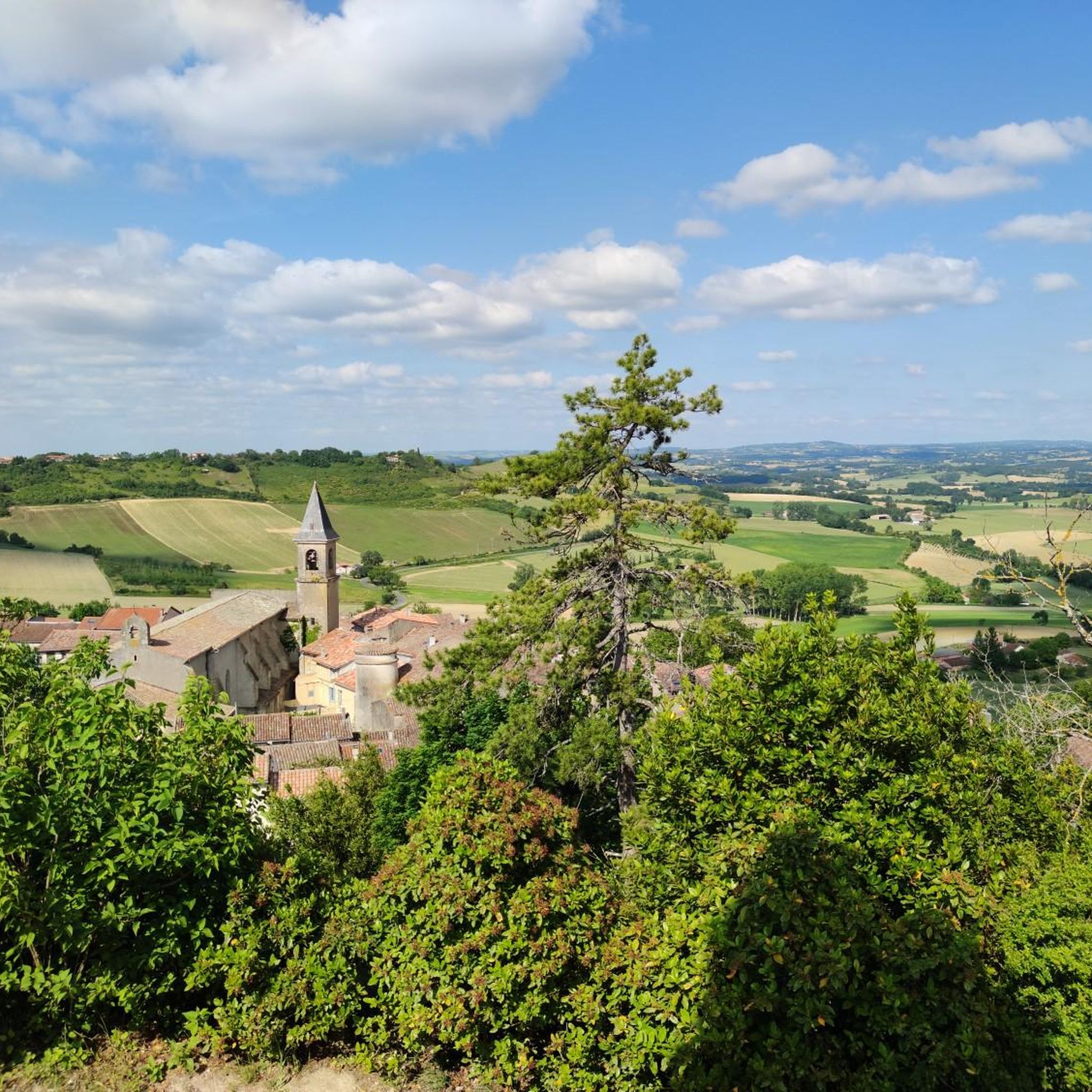
Many routes offer scenic views, particularly towards Lautrec. You can also explore nearby attractions such as the historic town of Castres, the Path of Human Rights, and the charming village of Burlats. The wider Tarn department is known for natural features like the Gorges du Tarn, Black Mountain, and the unique granite landscapes of Sidobre.
Are there gravel bike routes with river access or near lakes in the Montpinier area?
While Montpinier itself is agricultural, the broader Tarn department is rich in water features. The region includes numerous lakes and rivers, such as Lac du Merle, which is featured in the Burlats – Lac du Merle loop from Les Salvages. The Gorges du Tarn and Gorges de l'Aveyron also offer stunning river-side scenery and opportunities for water activities.
What is the best season for gravel biking in Montpinier?
The Tarn department, including the Montpinier area, is excellent for cycling. Spring and autumn generally offer the most pleasant temperatures for gravel biking, allowing you to enjoy the diverse landscapes without extreme heat. While winter conditions are not explicitly detailed, the region's beauty can be appreciated in various seasons, though some challenging routes might be more demanding in colder or wetter conditions.
What do other gravel bikers enjoy most about gravel biking in Montpinier?
The Montpinier area is highly rated by the komoot community, with an average score of 4.5 stars from over 20 reviews. Reviewers often praise the varied terrain, which includes rural roads, dense forests, and river valleys, as well as the extensive views, particularly towards Lautrec. The tranquility of the countryside and the options for different ability levels are also frequently highlighted.
What gear is recommended for gravel biking in Montpinier?
Given the mix of paved and unpaved surfaces, a gravel bike with appropriate tires is ideal. Routes can include significant elevation gains, so ensure your bike is in good working order and you have suitable gearing. Always carry water, snacks, a repair kit, and navigation tools. Depending on the season, layers of clothing are advisable.
Is there parking available for accessing gravel bike trails near Montpinier?
While specific parking locations are not detailed for every route, Montpinier is a rural area. You can typically find parking in or near the starting points of routes, especially in nearby villages or towns like Castres or Burlats, which serve as common access points for many trails. Always check local signage for parking regulations.
How can I access the gravel bike trails around Montpinier using public transport?
Montpinier is a small, rural commune, so direct public transport links to trailheads might be limited. Larger towns in the Tarn department, such as Castres, may offer more public transport options (e.g., train or bus services) that could get you closer to some starting points. From there, you might need to cycle a short distance to reach the trails. Planning your route in advance with public transport schedules is recommended.
Most popular routes around Montpinier
Most popular attractions around Montpinier

Get inspired with the komoot mobile app


Explore more
Browse the best Gravel rides in other regions.
