The best gravel rides around Montjay
5.0
(2)
21
riders
6
rides
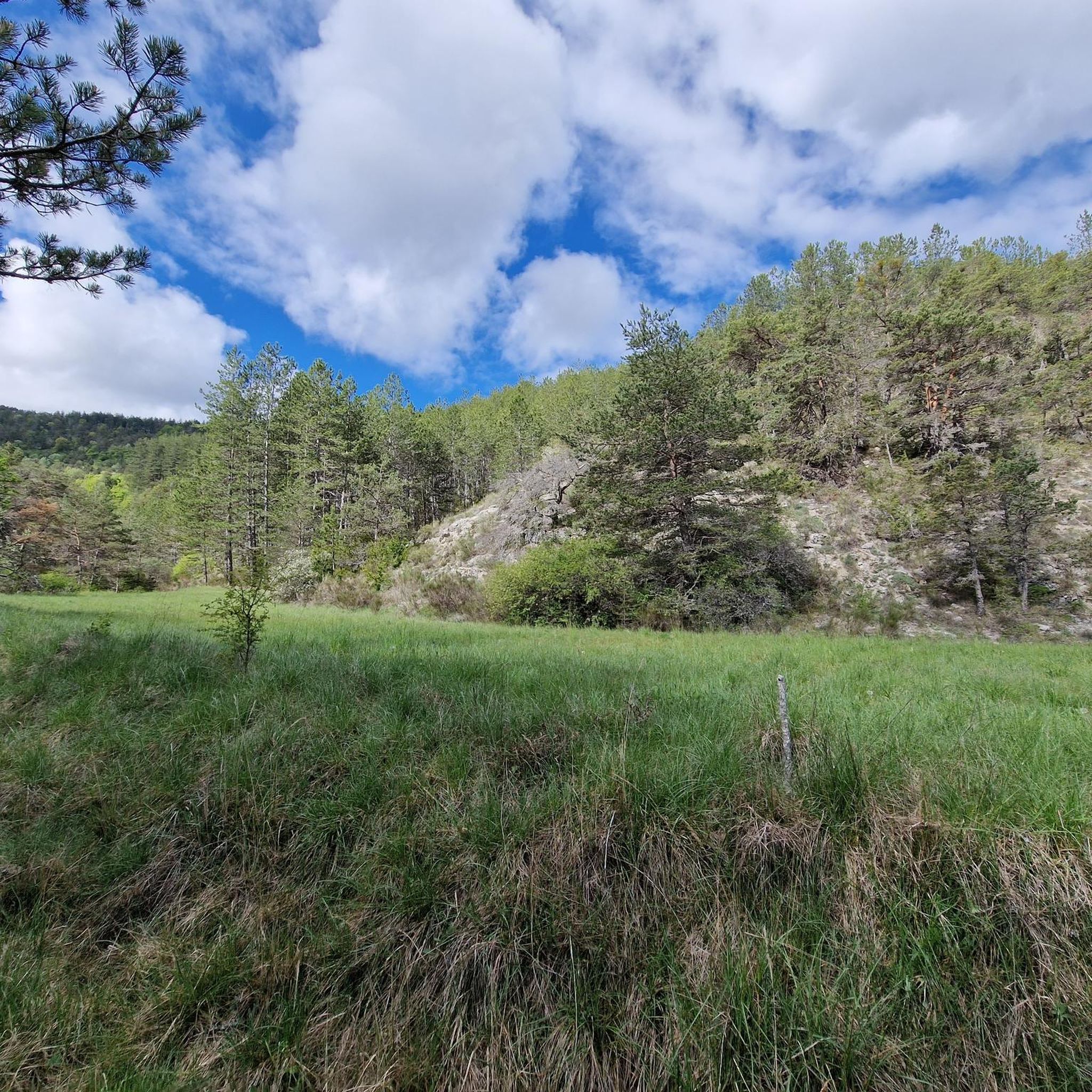
Gravel biking around Montjay features routes through varied terrain, characterized by significant elevation changes and scenic valleys. The region includes passes and dam areas, indicating a landscape with both natural and engineered features. Routes often traverse through or near villages, suggesting a mix of rural and semi-developed environments. The area's topography supports gravel biking with challenging climbs and descents.
Best gravel bike trails around Montjay
- The most popular gravel bike trail is Orpierre – Méouge Valley loop from Sainte-Colombe,…
Last updated: July 17, 2026
5.0
(1)
11
riders
68.3km
04:30
1,230m
1,230m
Hard gravel ride. Very good fitness required. Mostly paved surfaces. Suitable for all skill levels.
4
riders
19.6km
01:26
510m
510m
Hard gravel ride. Very good fitness required. Mostly paved surfaces. Suitable for all skill levels.

Sign up for free
2
riders
22.9km
01:57
600m
590m
Hard gravel ride. Very good fitness required. Mostly paved surfaces. Suitable for all skill levels.
5.0
(1)
3
riders
38.2km
02:47
740m
740m
Hard gravel ride. Very good fitness required. Mostly paved surfaces. Suitable for all skill levels.
1
riders
19.1km
01:44
600m
590m
Hard gravel ride. Very good fitness required. Mostly paved surfaces. Suitable for all skill levels.
Our route recommendations are based on thousands of hikes, rides, and runs completed by other people on komoot.
Start today with a free account
Your next adventure awaits.
Login or Signup
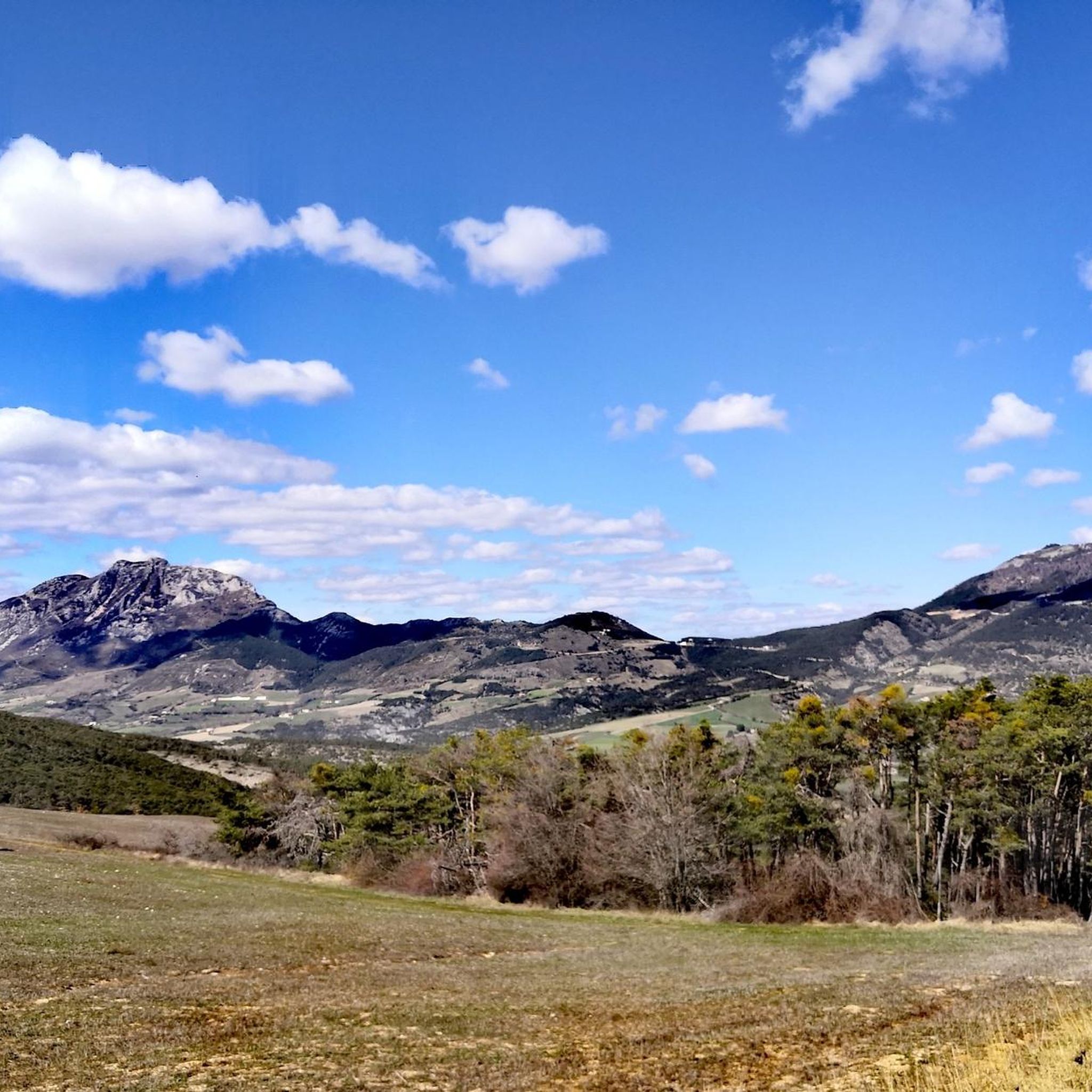
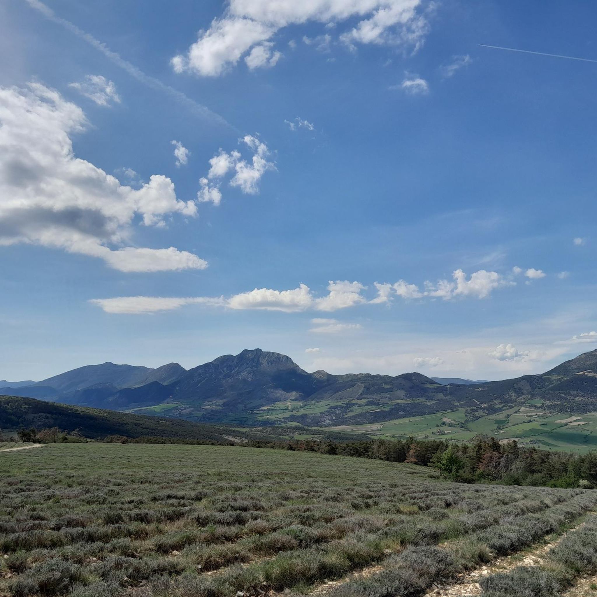
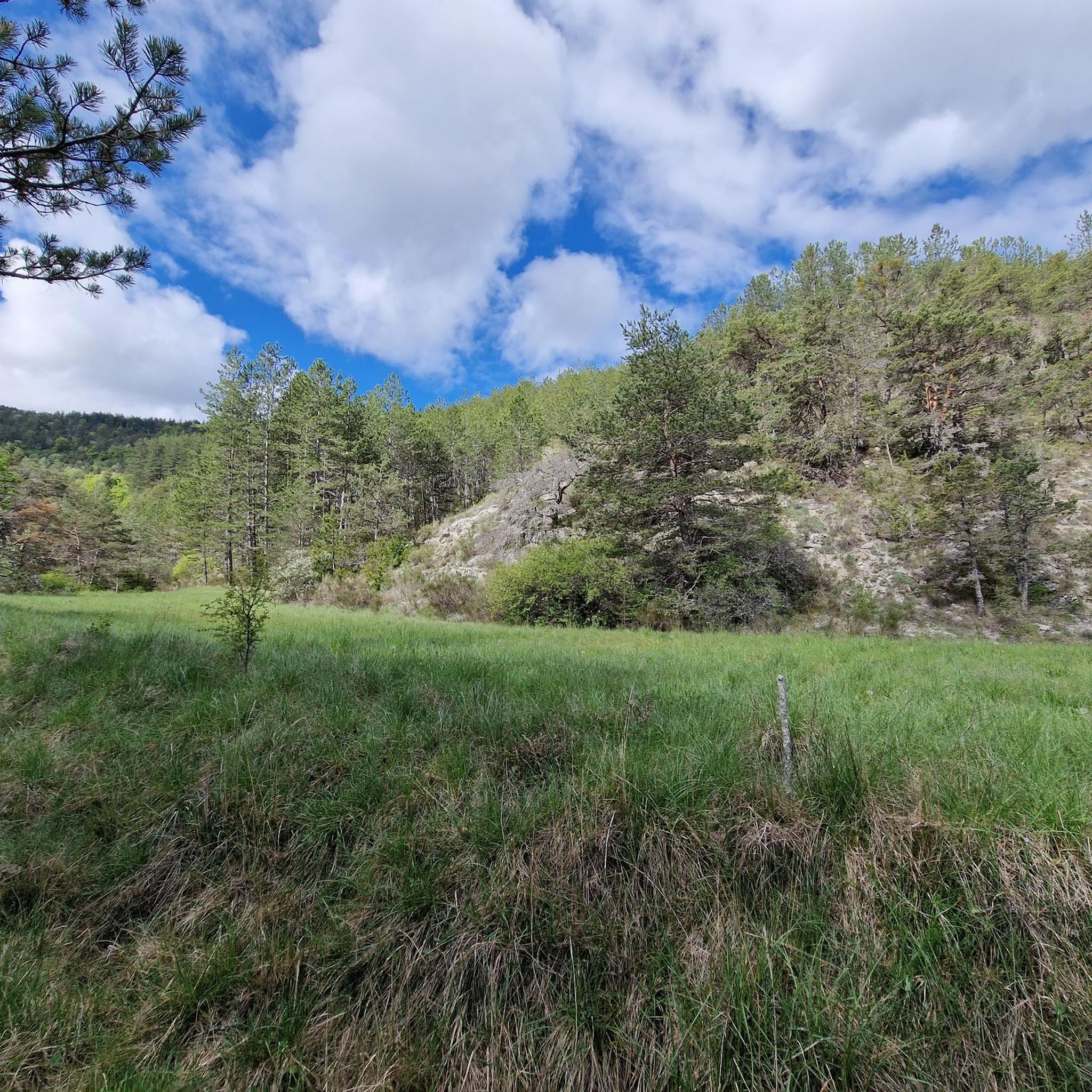
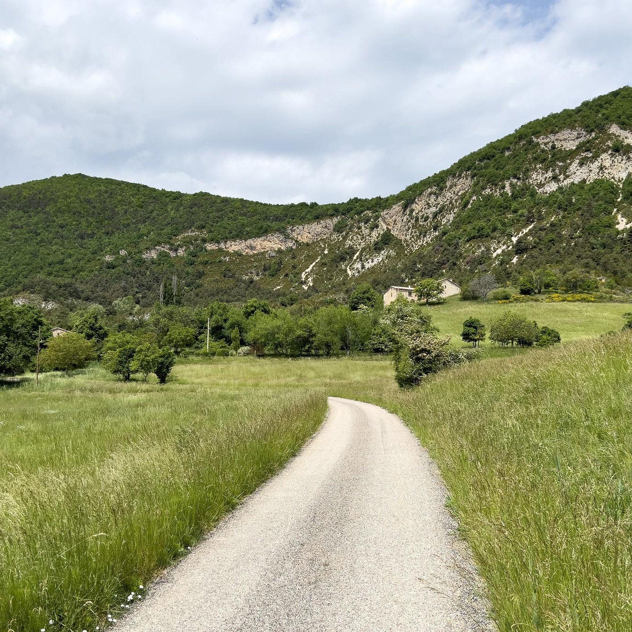
Tips from the Community

Building maintained in excellent condition.
11
0
Altitude: 1,159 m * Region: Drôme, on the border with the Hautes-Alpes department. * Connects: the villages of Laborel and Lachau with the Céans valley.
6
0
A road that cuts out the traffic, Unforgettable panoramas
18
0
The Méouge gorges are a spectacular natural canyon located between the departments of Hautes-Alpes and Drôme, in the southeast of France. They are renowned for their turquoise waters, limestone cliffs, and numerous natural pools where you can swim in the summer.
12
0
The Gorges de la Méouge are a spectacular natural canyon located between the departments of Hautes-Alpes and Drôme, in the South-East of France. They are renowned for their turquoise waters, limestone cliffs, and numerous natural pools where you can swim in the summer.
13
0
Orpierre is a small medieval village located in the Hautes-Alpes department in the Provence-Alpes-Côte d’Azur region of southeastern France. It has a population of between 300 and 330 inhabitants and stands in the Céans valley, surrounded by limestone cliffs and mountains that give it a unique landscape setting.
20
0
Orpierre is a small medieval village located in the Hautes-Alpes, in the Provence-Alpes-Côte d'Azur region, in southeastern France.
17
0
The Méouge valley (French: *Vallée de la Méouge*, sometimes also called *Val Buëch-Méouge*) is a small natural valley in the southeast of France, located between the Drôme Provençale and the Hautes-Alpes, in the Baronnies Provençales region.
11
0
Frequently Asked Questions
How many gravel bike trails are available in Montjay?
Montjay offers a selection of 8 gravel bike routes, primarily catering to moderate to difficult skill levels. These trails are known for their significant elevation changes and scenic valley traverses.
What are the typical distances and elevation gains for gravel bike routes in Montjay?
Gravel bike routes in Montjay vary in length and elevation. For instance, the Orpierre – Méouge Valley loop from Sainte-Colombe is a substantial 31.1 miles (50.0 km) with nearly 2,900 feet (890 meters) of elevation gain. Shorter, yet still challenging, options like the Orpierre – Orpierre village centre loop from Sainte-Colombe cover about 12.2 miles (19.6 km) with over 1,600 feet (500 meters) of climbing.
Are there any easy or beginner-friendly gravel bike routes in Montjay?
The gravel biking terrain around Montjay is generally characterized by challenging climbs and descents. Most routes are rated as difficult, with significant elevation gains. There are no routes specifically categorized as 'easy' in our current selection, making it more suitable for experienced gravel bikers.
What kind of scenery can I expect on Montjay's gravel bike trails?
Montjay's gravel bike trails offer diverse scenery, including routes through the picturesque Méouge Valley, village surroundings, and hills. You'll encounter passes and dam areas, providing a mix of natural and engineered landscapes. The region's topography ensures panoramic views and varied backdrops for your ride.
What are some notable landmarks or attractions I can see near the gravel bike trails?
While riding, you can explore several interesting points. The Saint-Jean Pass – Sainte-Colombe loop from Les Bégües passes near the Saint-Jean Pass. Other nearby attractions include the charming village of Orpierre, which serves as a starting point for several loops, and the Perty Pass. You might also encounter mountain peaks like Chamouse Mountain and Le Duffre (Montagne de l'Aup) in the wider region.
Are there any circular gravel bike routes in Montjay?
Yes, many of the gravel bike routes in Montjay are designed as loops. Examples include the Orpierre – Orpierre village centre loop from Orpierre, which is 14.2 miles (22.9 km) long, and the Café Terrace in Serres – Buesch dam loop from Serres, covering 23.7 miles (38.2 km).
What do other gravel bikers enjoy most about gravel biking in Montjay?
The komoot community highly rates the gravel biking experience in Montjay, with an average score of 5.0 stars from 2 reviews. Riders often praise the challenging climbs, the rewarding descents through valleys, and the connections between picturesque villages that define the region's routes.
Is public transport available to access gravel bike trails in Montjay?
Information on direct public transport access to specific trailheads in Montjay is limited. Given the rural nature of the area, it's advisable to plan for personal vehicle transport or check local bus schedules to nearby villages like Orpierre or Serres, which serve as common starting points.
Where can I find parking for gravel biking near Montjay?
Many gravel bike routes in Montjay start from villages such as Orpierre, Sainte-Colombe, Serres, or Les Bégües. You can typically find parking in or near these village centers, though availability may vary. It's recommended to check specific parking options for your chosen trailhead before you go.
What is the best season for gravel biking in Montjay?
While specific seasonal recommendations are not provided, the region's significant elevation changes suggest that spring and autumn would offer pleasant temperatures for tackling the climbs. Summer might be warm, and winter could present challenges with colder temperatures or snow at higher elevations, especially around passes.
Are there any gravel bike routes with coffee stops or places to refuel?
Routes often traverse through or near villages like Orpierre and Serres. These settlements are likely to offer opportunities for coffee stops, bakeries, or small shops where you can refuel during your ride. The Café Terrace in Serres – Buesch dam loop from Serres, for example, starts and ends in Serres, suggesting amenities are available there.
Most popular attractions around Montjay

Get inspired with the komoot mobile app


Explore more
Browse the best Gravel rides in other regions.
