The best gravel rides around Château
3.3
(6)
98
riders
7
rides
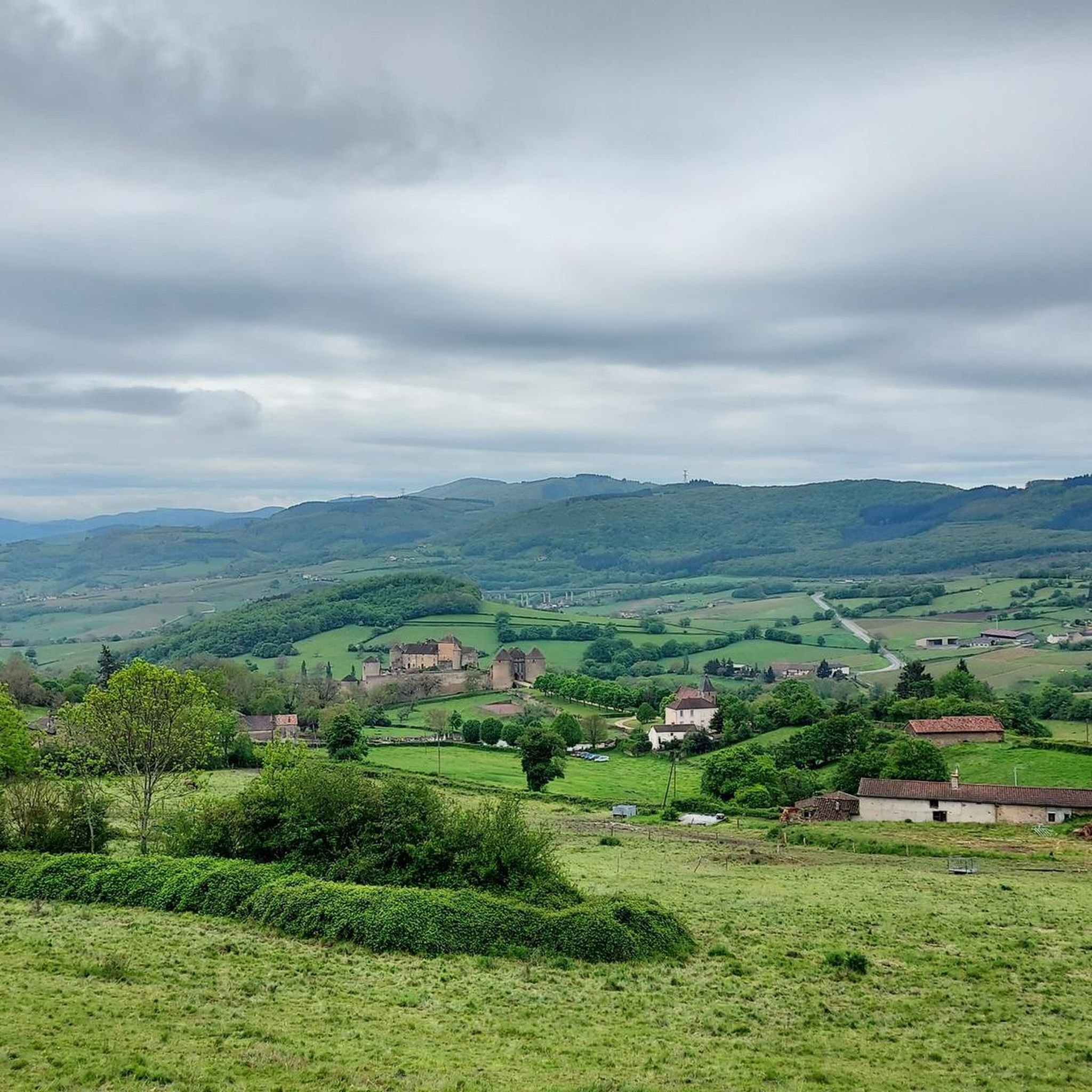
Gravel bike trails around Château traverse a diverse landscape characterized by extensive vineyards, dense forests, and rolling agricultural fields. The region features varied terrain, including riverside paths along valleys and challenging climbs in hilly areas. Surfaces range from groomed gravel and singletrack to sections with sand and roots, providing a dynamic experience for gravel cyclists.
Best gravel bike trails around Château
- The most popular gravel bike trail is Cluny – Voie verte of Southern Burgundy loop from Mâcon, a…
Last updated: November 3, 2026
3.3
(3)
75
riders
97.7km
07:57
2,030m
2,030m
Hard gravel ride. Very good fitness required. Mostly paved surfaces.
12
riders
70.3km
06:05
1,490m
1,490m
Hard gravel ride. Very good fitness required. Mostly paved surfaces.

3
riders
15.9km
01:21
360m
360m
Moderate gravel ride. Good fitness required. Mostly paved surfaces.
5.0
(1)
3
riders
48.6km
03:38
1,040m
1,040m
Hard gravel ride. Very good fitness required. Mostly paved surfaces.
4.0
(1)
3
riders
31.4km
02:22
670m
660m
Hard gravel ride. Very good fitness required. Mostly paved surfaces.
Get access to more routes and recommendations from other explorers.
Already have an account?
Our route recommendations are based on thousands of hikes, rides, and runs completed by other people on komoot.
Start today with a free account
Your next adventure awaits.
Tips from the Community

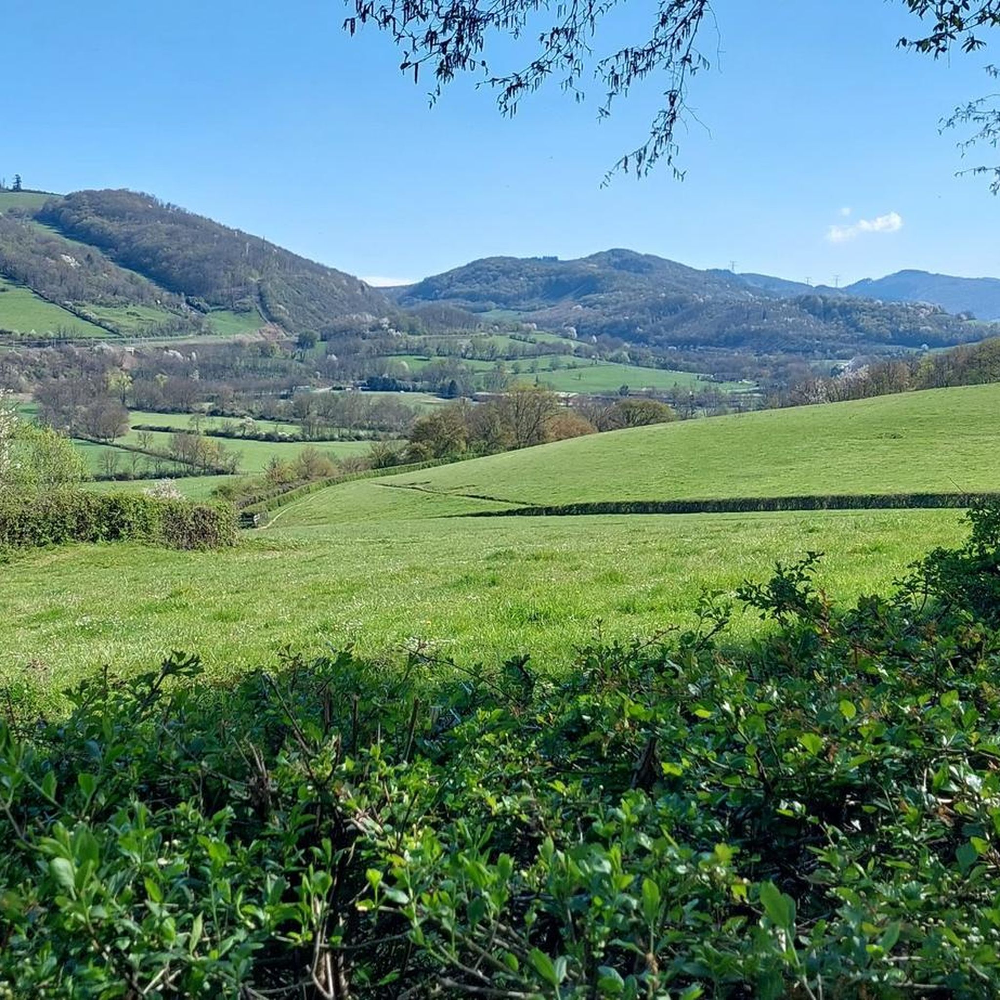
The Col de Beaufer is located in the Monts du Mâconnais, west of Tournus in the Saône-et-Loire department. With a height of only 303 meters, it is more of a gentle transition between the hills of the Tournugeois than a distinct mountain pass. The surrounding area is characterized by forests, meadows, and the typical wine landscapes of southern Burgundy. The pass is the starting point for several hiking and mountain biking trails, which lead through Plottes and the surrounding hills, among other places. The area "Le Cra et Col de Beaufer" is also designated as an ecologically valuable nature zone and covers around 982 hectares.
0
0

Don't forget to make a short stop at the "la vicyclette" workshop
0
0
The temperature is very pleasant in the tunnel, summer and winter.
0
0

Historic stone bridge over the tranquil little river.
1
0
Although the pass is located in France and is not extremely high, its name translates to "Siberia Pass". The name goes back to the often very cold, snow-rich winds and the harsh weather conditions in winter.
1
0
The Col de Gerbet (612 m) is an idyllic mountain pass in the French wine-growing region of Beaujolais. Depending on the starting point, various roads with little traffic lead up to the pass via the D137. From Juliénas (south-east approach): This route is 7.3 kilometers long. It overcomes 342 meters of altitude with a steady, moderate gradient of 4.7% on average. The road winds through shady forest sections. From La Croix Blanche (west approach): A tougher variant 4.5 kilometers long. Here you conquer 270 meters of altitude with an average gradient of 6% and ramps of up to 11%.
1
0
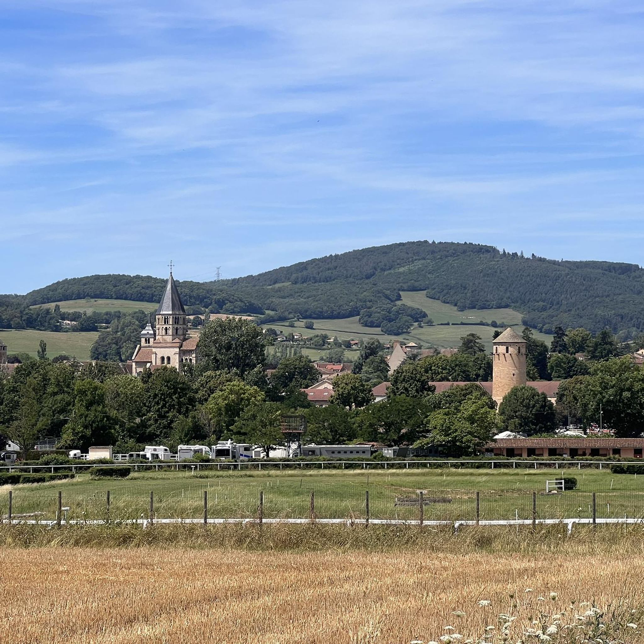
The former Cluny-Chalon-sur-Saône railway line has been decommissioned. The old station grounds now serve as the central bus stop ("Cluny Gare") for regional buses. Lines 701 and 709 of the Mobigo network connect the town to the TGV station in Mâcon in about 30 minutes. Directly at the old station runs the Voie Verte (an asphalted railway path cycle route). There is a large e-bike and bicycle rental service on site for tourists.
1
0
Frequently Asked Questions
What kind of terrain can I expect on gravel bike trails around Château?
The Château region offers a diverse gravel biking experience. You'll encounter extensive vineyards, dense forests, and rolling agricultural fields. Routes often follow riverbanks, such as those along the Loire or Durance, and some areas present challenging climbs in hilly terrain. Surfaces vary from groomed gravel and riverside singletrack to sections with sand, roots, and loose gravel.
How many gravel bike trails are available in the Château area?
There are currently 7 gravel bike trails documented around Château on komoot. These routes cater to various skill levels, including 2 moderate and 5 difficult options.
Are there any family-friendly gravel bike routes near Château?
While many routes in the Château region are rated moderate to difficult, the area does offer some less strenuous options. For example, the Cluny – Cluny Abbey loop from Cluny is a moderate 9.9-mile path that explores the historic Cluny Abbey area, offering a mix of cultural and natural scenery suitable for a family outing. Another moderate option is the Cluny Abbey town – Greenway of Southern Burgundy loop from Berzé-le-Châtel, which is 12.7 miles long.
What are some challenging gravel bike trails for experienced riders in Château?
For experienced gravel bikers seeking a challenge, the Château region has several difficult routes. The Cluny – Voie verte of Southern Burgundy loop from Mâcon is a demanding 61.6-mile trail with significant elevation gain. Another difficult option is the Col de Gerbet – Col de la Grange du Bois loop from Sologny, a 30.2-mile route through hilly terrain.
What historical sites or attractions can I see along the gravel bike trails?
The Château region is rich in history and culture. Many gravel routes pass by or lead to magnificent structures like historic châteaux and castles. You can also explore charming medieval towns and villages. Along some routes, you might encounter specific highlights such as the settlement of Cluny, the Sainte-Marie-Madeleine Church, or the Lamartine House.
Are there any circular gravel bike routes in the Château area?
Yes, many of the gravel bike routes in the Château region are designed as loops. Examples include the Cluny – Cluny Abbey loop from Cluny, the Col de Gerbet – Col de la Grange du Bois loop from Sologny, and the Cluny – Greenway of Southern Burgundy loop from Donzy-le-Pertuis, all offering circular journeys.
What is the best season for gravel biking around Château?
While specific seasonal recommendations aren't provided, the region's diverse landscapes, including vineyards and forests, suggest pleasant riding during spring and autumn when temperatures are milder and the scenery is vibrant. Forest paths can offer cooler rides in summer, and riverbank routes might be enjoyable in various seasons. Winter riding would depend on local weather conditions, especially in hilly areas.
What do other gravel bikers enjoy most about gravel biking in Château?
The komoot community rates the gravel biking experience in Château with an average score of 2.8 stars. Riders often appreciate the blend of cultural heritage and natural beauty, with routes traversing vineyards, forests, and riverbanks, offering a dynamic experience for various skill levels.
Are there any specific viewpoints or scenic overlooks along the gravel routes?
The varied topography of the Château region, with its hilly and mountainous sections, often includes natural viewpoints that offer stunning vistas of the surrounding countryside, vineyards, or valleys. While specific named viewpoints aren't detailed for every route, the region's landscape is conducive to finding rewarding panoramic views, especially on routes with significant elevation gain like the Cluny – Voie verte of Southern Burgundy loop from Mâcon.
Can I find routes that combine gravel biking with exploring local towns or villages?
Absolutely. Many gravel routes in the Château region are designed to pass through or near charming medieval towns and villages. For instance, the Cluny – Cluny Abbey loop from Cluny allows you to explore the area around the historic Cluny Abbey and the settlement of Cluny itself, offering opportunities to discover local architecture and history.
What are the typical distances and durations for gravel bike trails in Château?
Gravel bike trails in Château vary significantly in length and duration. You can find shorter, moderate loops like the Cluny – Cluny Abbey loop from Cluny, which is 9.9 miles and takes about 1 hour 21 minutes. For longer, more challenging rides, there's the Cluny – Voie verte of Southern Burgundy loop from Mâcon, spanning 61.6 miles and typically requiring over 8 hours to complete.
Are there any routes that follow greenways or dedicated bike paths?
Yes, the region features routes that incorporate greenways. For example, the Cluny – Greenway of Southern Burgundy loop from Donzy-le-Pertuis and the Cluny Abbey town – Greenway of Southern Burgundy loop from Berzé-le-Châtel utilize sections of the Greenway of Southern Burgundy, offering smoother, dedicated paths for cycling.
Most popular attractions around Château

Get inspired with the komoot mobile app


Explore more
Browse the best Gravel rides in other regions.
