The best gravel rides around Blandas
11
riders
2
rides
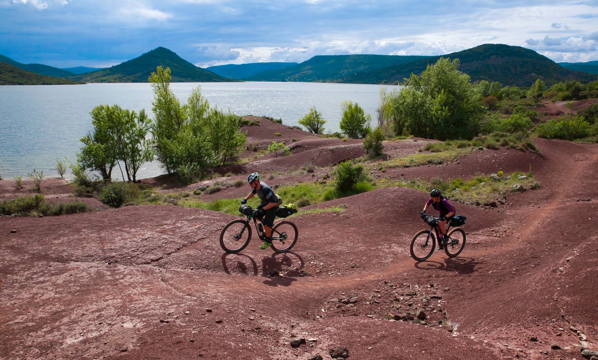
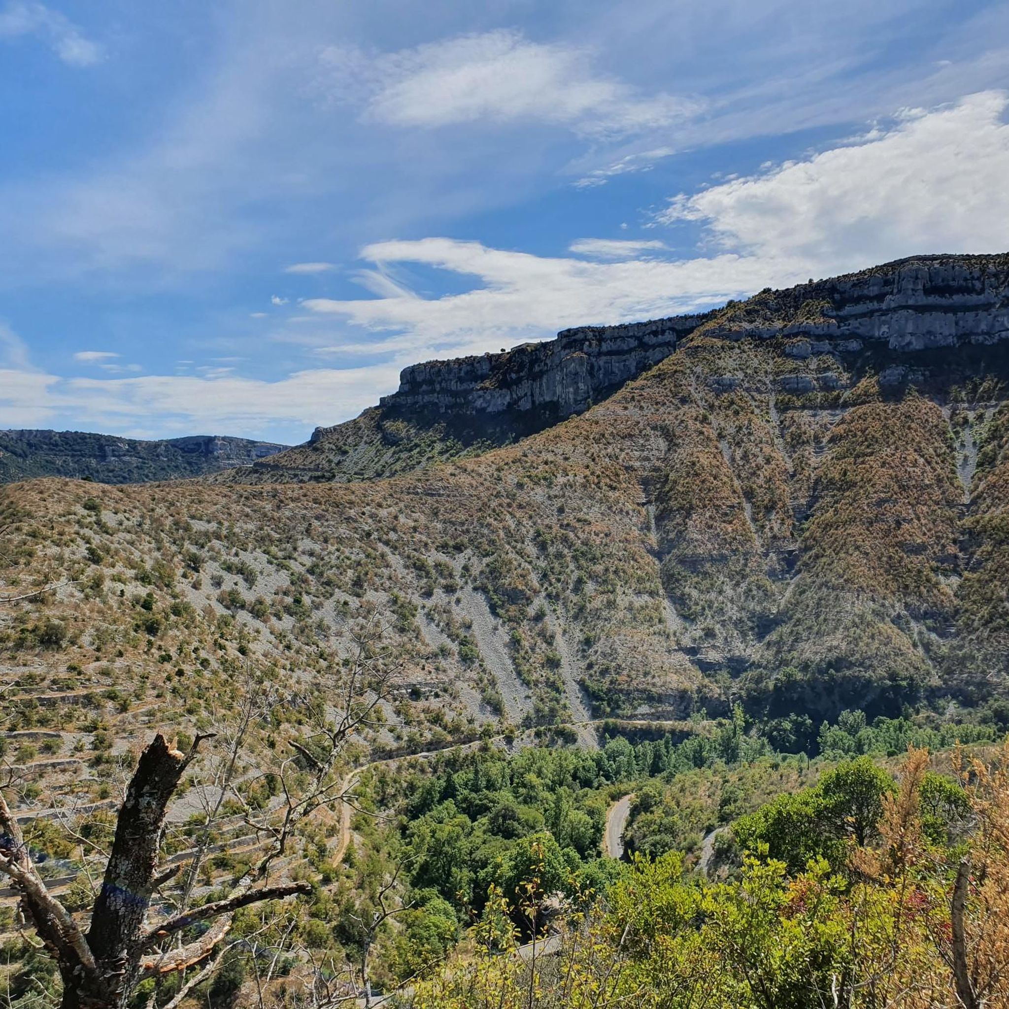
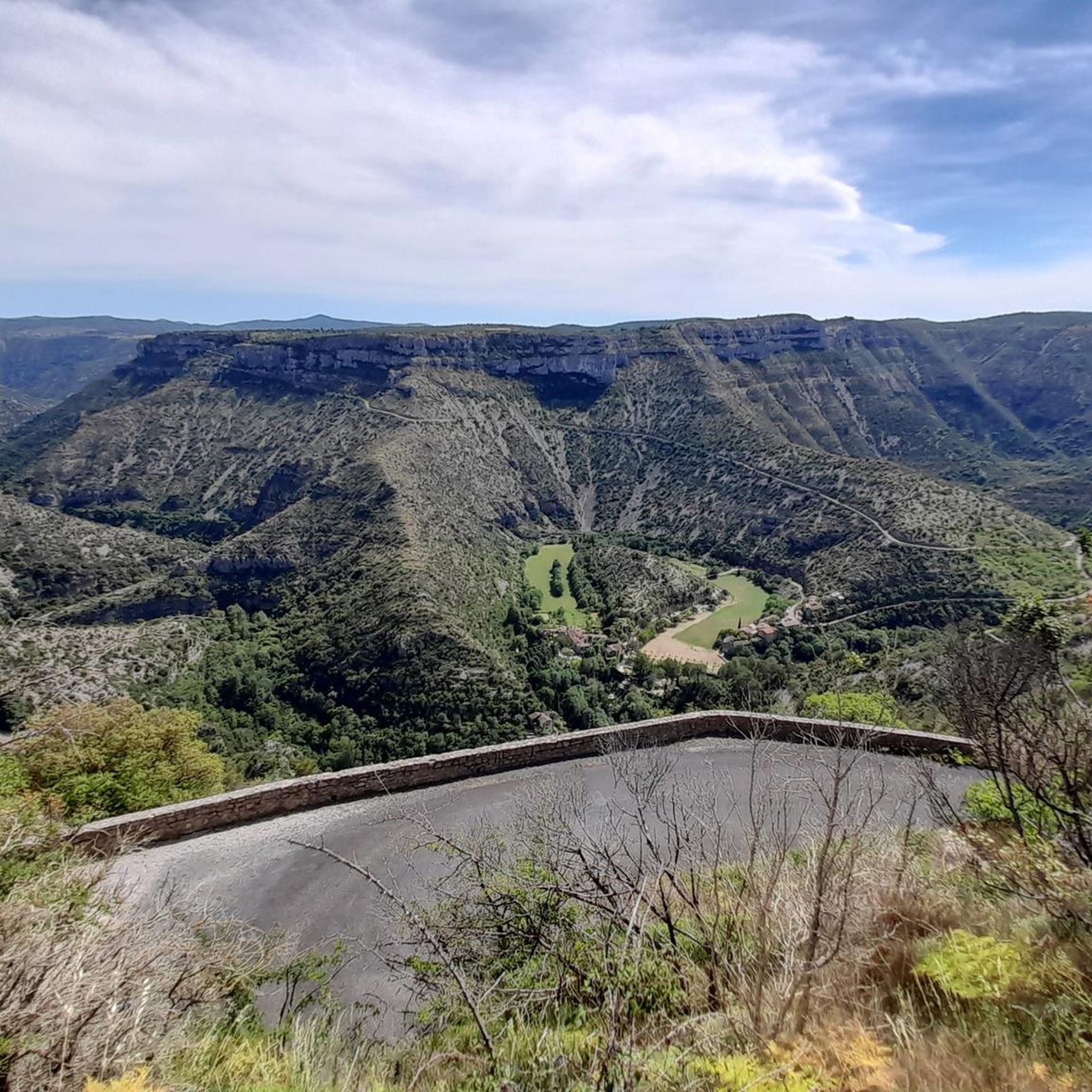
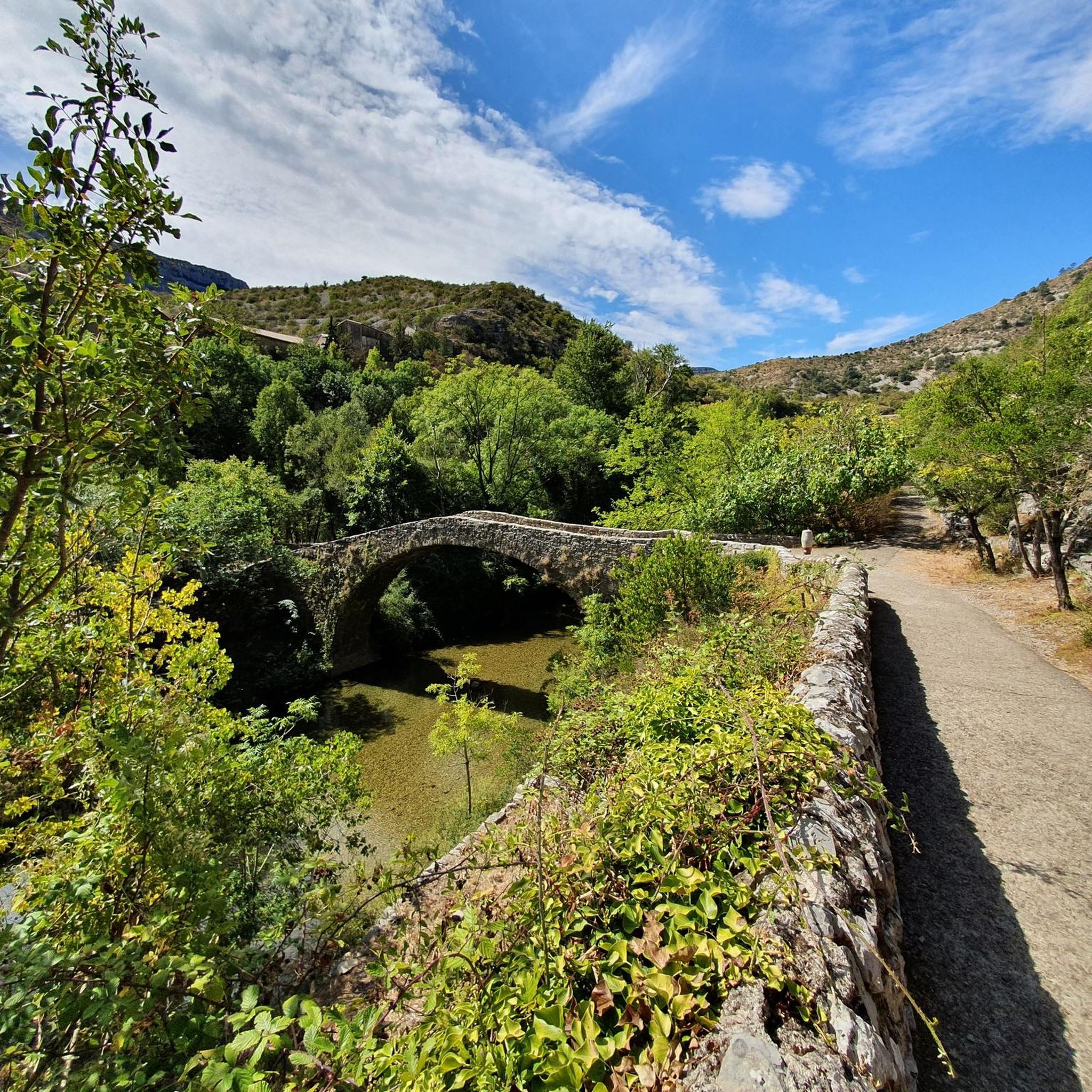
Gravel biking around Blandas, located in the Gard department of France, offers diverse terrain across limestone plateaus and deep river gorges. The region is characterized by the Causse de Blandas, a vast limestone plateau with unique karst topography, and the dramatic Cirque de Navacelles, carved by the Vis River. These landscapes, part of the Cévennes National Park, provide a network of unpaved roads and tracks suitable for challenging gravel bike trails. The area features varied elevations, from river valleys to…
Last updated: July 16, 2026
4
riders
49.6km
04:05
950m
950m
Hard gravel ride. Very good fitness required. Mostly paved surfaces. Suitable for all skill levels.
5
riders
84.4km
06:31
1,910m
1,910m
Hard gravel ride. Very good fitness required. Mostly paved surfaces. Suitable for all skill levels.

Sign up for free
2
riders
19.2km
01:29
460m
460m
Hard gravel ride. Very good fitness required. Mostly paved surfaces. Suitable for all skill levels.
Our route recommendations are based on thousands of hikes, rides, and runs completed by other people on komoot.
Start today with a free account
Your next adventure awaits.
Login or Signup



Tips from the Community

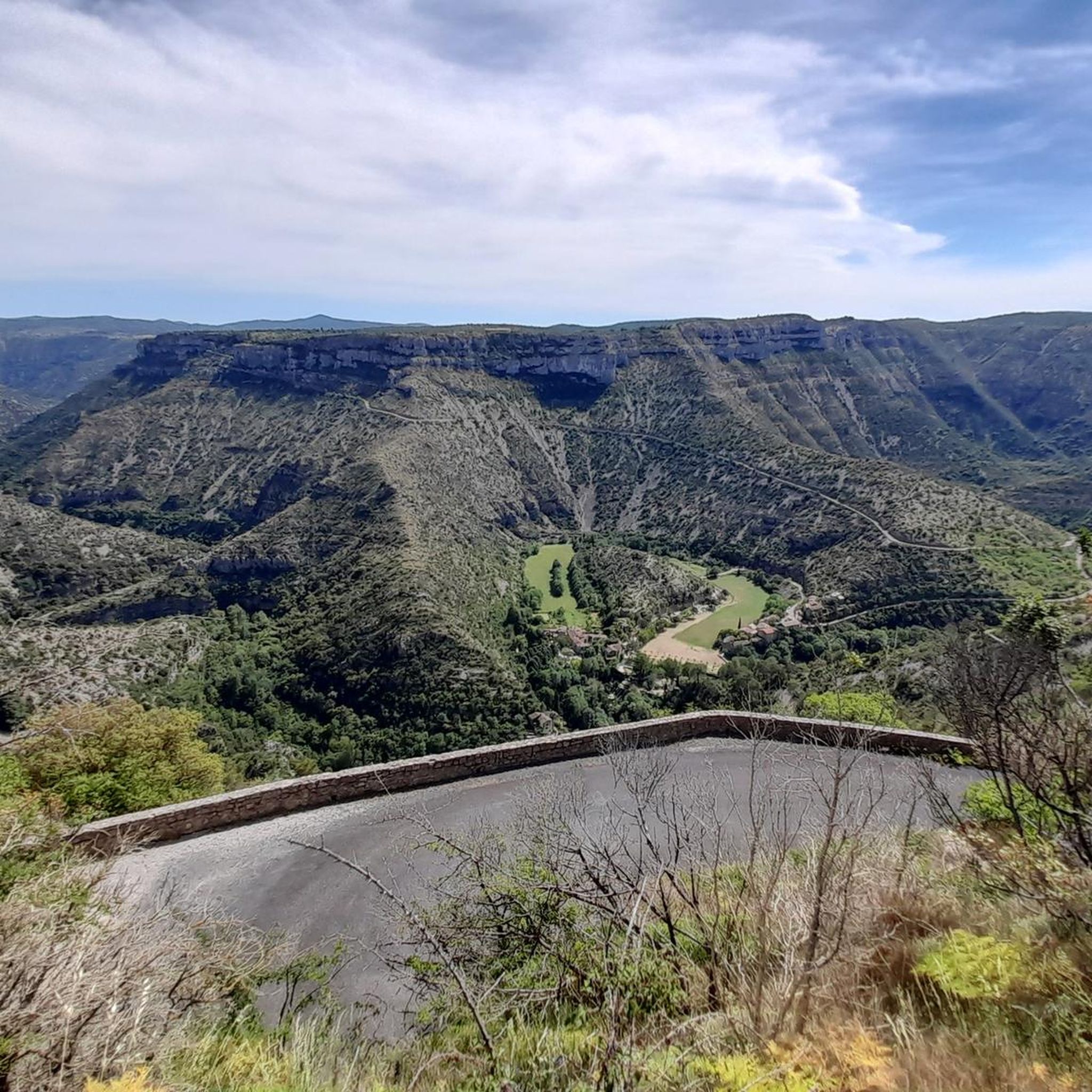
Sublime point, view of the Cévennes and the Mediterranean Sea in good weather
0
0

Superb artificial lake and an impressive dam
0
0

Under the title "France's Wild South," an episode of the British television series "National Parks – Protected Natural Wonders" on 3sat presents the Cévennes mountains. The accompanying text on the website states: "Lush green mountains, barren plateaus, and deep gorges characterize this landscape, which, unlike France's coasts, has not yet been discovered by mass tourism. It also boasts some of the country's most spectacular river landscapes." The compelling documentary, available in German, can be viewed in the media library at the following link: https://www.3sat.de/dokumentation/nationalparks-geschuetzte-naturwunder/nationalparks-geschuetzte-naturwunder-cevennen-frankreichs-wilder-sueden-102.html
0
0

This viaduct is a perfect example of the many structures that make up the La Cévenol Greenway. Indeed, it follows the old railway line that crossed the Cévennes mountains.
0
0
Lake Pises is nestled in the valleys of the Cévennes Regional Natural Park. A peaceful place where you can forget about time.
0
0
This pass, discreetly nestled among the fir trees, is a great road and pedestrian crossing. It also allows cyclists and gravel enthusiasts to take the trails that go a little deeper into the coniferous forests.
0
0

Beautiful little village on top of the hill. Breathtaking view!
0
0

Nothing extraordinary about this place, but it will be a stopping point for many outings in the Cévennes.
0
0
Frequently Asked Questions
How many gravel bike trails are available around Blandas?
There are 4 gravel bike trails around Blandas listed in this guide, all rated as difficult. These routes offer challenging rides across the region's unique landscapes.
What kind of terrain can I expect on gravel bike trails near Blandas?
The terrain around Blandas is characterized by limestone plateaus, deep river gorges, and mountainous sections within the Cévennes National Park. You'll encounter varied surfaces, from unpaved roads on the Causse de Blandas to challenging climbs in areas like the Aigoual massif. The region's karst topography ensures a diverse and engaging ride.
Are there any easy or beginner-friendly gravel bike trails in Blandas?
The gravel bike trails featured in this guide around Blandas are all rated as difficult, indicating they are best suited for experienced riders. They often involve significant elevation changes and cover substantial distances, making them challenging for beginners.
What are some notable natural attractions to see while gravel biking in Blandas?
The region is rich in natural beauty. You can explore the spectacular Cirque de Navacelles, a grand canyon-like formation, or discover various waterfalls such as La Vis Waterfall and the Waterfall with Pool in Cévennes National Park. There are also several viewpoints, including The Blandas Viewpoints, offering breathtaking panoramas of the landscape.
Are there any circular gravel bike routes available?
Yes, all the routes listed in this guide are circular. For example, you can try the challenging Lac de Pises – Col de l'homme mort loop from Les Regetres, which covers nearly 50 km with significant elevation gain.
What is the best time of year for gravel biking around Blandas?
Blandas is part of the Cévennes, which experiences a mountain climate. Spring and autumn generally offer the most pleasant conditions for gravel biking, with milder temperatures and beautiful scenery. Summers can be hot, especially in the valleys, while winters can bring colder weather and potentially snow at higher elevations like the Aigoual massif.
Are the gravel trails around Blandas suitable for families or dog-friendly?
Given that all routes in this guide are rated as difficult with significant elevation changes and distances, they may not be ideal for young children or casual family rides. For dog-friendly options, it's best to check individual route details and local regulations regarding dogs in the Cévennes National Park, especially concerning protected wildlife areas.
Where can I find parking for the gravel bike trails?
Many routes start from towns or villages like Le Vigan or Les Regetres, where public parking is typically available. For instance, the Mount Aigoual – Mont Aigoual loop from Le Vigan begins in Le Vigan, which offers parking options. It's always advisable to check specific starting points for parking availability before your ride.
What do other gravel bikers enjoy most about gravel biking in Blandas?
The area is highly rated by the komoot community, with an average score of 4.5 stars. Reviewers often praise the challenging nature of the routes, the stunning natural landscapes, and the sense of adventure offered by the diverse terrain, particularly the views of the gorges and plateaus.
Are there any cafes or accommodation options near the gravel bike routes?
Blandas and nearby villages like Le Vigan, Aulas, or Vissec, which serve as starting points for some routes, offer various amenities. You can find cafes, restaurants, and accommodation options in these areas. For example, the Le Vigan – Vernède Tunnel loop from Le Vigan starts in Le Vigan, a larger town with more services.
Which route offers the best views of the Gorges de la Vis?
For spectacular views of the Gorges de la Vis, consider the View of the Gorges de la Vis – Vissec loop from Vissec. This route takes you through the dramatic landscapes carved by the Vis River, offering numerous scenic overlooks.
What is the longest gravel bike route in this guide?
The longest route featured is the Mount Aigoual – Mont Aigoual loop from Le Vigan, spanning 83.6 km (51.9 miles) with nearly 1900 meters of elevation gain, making it a significant challenge.
Most popular attractions around Blandas

Get inspired with the komoot mobile app


Explore more
Browse the best Gravel rides in other regions.
