The best gravel rides around Boulleret
4.2
(5)
41
riders
7
rides
Gravel biking around Boulleret offers routes through the varied landscapes of the Loire Valley, characterized by its extensive canal networks and rolling hills. The region features a mix of riverside paths, agricultural lands, and forested sections, providing diverse terrain. Cyclists can expect to traverse the banks of the Loire River and the Canal latéral à la Loire, which often feature unpaved towpaths ideal for gravel riding. The surrounding countryside includes fields, forests, and small country roads, with rolling hills and…
Last updated: May 21, 2026
4.7
(3)
12
riders
43.1km
03:01
640m
640m
Hard gravel ride. Very good fitness required. Mostly paved surfaces. Suitable for all skill levels.
11
riders
73.9km
04:42
770m
770m
Hard gravel ride. Very good fitness required. You may need to push your bike for some segments of this route.

Sign up for free
4.0
(1)
5
riders
33.4km
02:32
560m
550m
Hard gravel ride. Very good fitness required. Mostly paved surfaces. Suitable for all skill levels.
3
riders
50.5km
03:35
760m
760m
Hard gravel ride. Very good fitness required. Mostly paved surfaces. Suitable for all skill levels.
4
riders
70.2km
04:30
730m
730m
Hard gravel ride. Very good fitness required. Mostly paved surfaces. Suitable for all skill levels.
Get access to more routes and recommendations from other explorers.
Sign up for free
Already have an account?
Our route recommendations are based on thousands of hikes, rides, and runs completed by other people on komoot.
Start today with a free account
Your next adventure awaits.
Login or Signup
Tips from the Community

In the proverbial "good old days," this (former) windmill, prominently positioned on the hill and clearly visible from afar, must have made a profound impression on the viewer. However, this changed long ago: Only the ruined remains of the once proudly towering tower with its once sweeping wings remain as a sad testament to that bygone era. Today's visitors probably enjoy less the sight of the ruins than—at least in good weather—the beautiful view of the wide plains that unfold before them.
1
0

Only the two wooden beams form a cross in its simplest form. And yet, this small, sacred monument—like all crosses encountered by bikers along the way—is an essential Christian symbol. It stands for the memory of his crucifixion, but at the same time also for the resurrection of Jesus Christ. The important founder of the order, Bernard of Clairvaux, said: + "With us on earth, there is His memory, but in the kingdom of heaven is His presence: This presence is the joy of those who have already attained salvation. The memory is our consolation, as we are still wanderers, traveling toward the Fatherland."
0
0
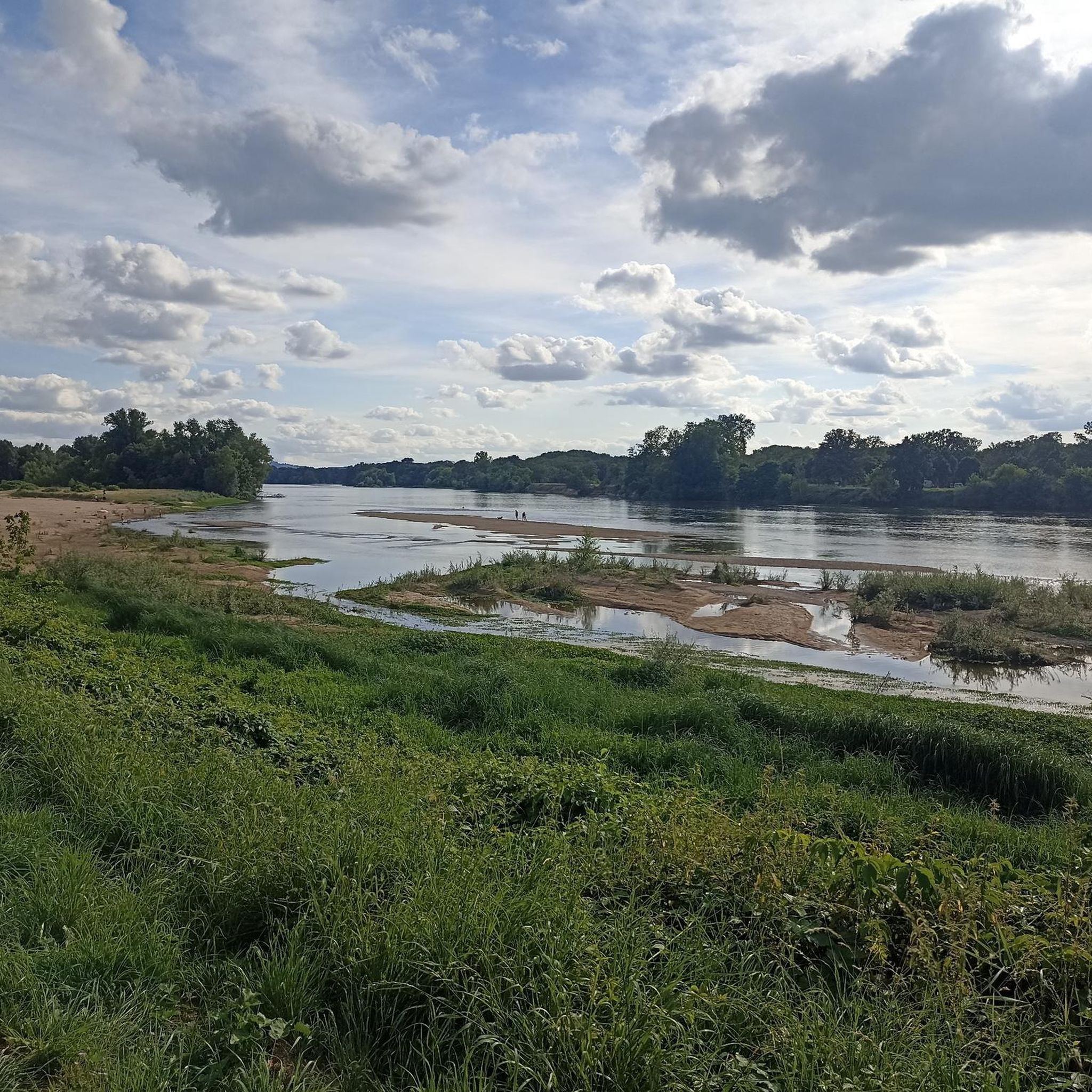
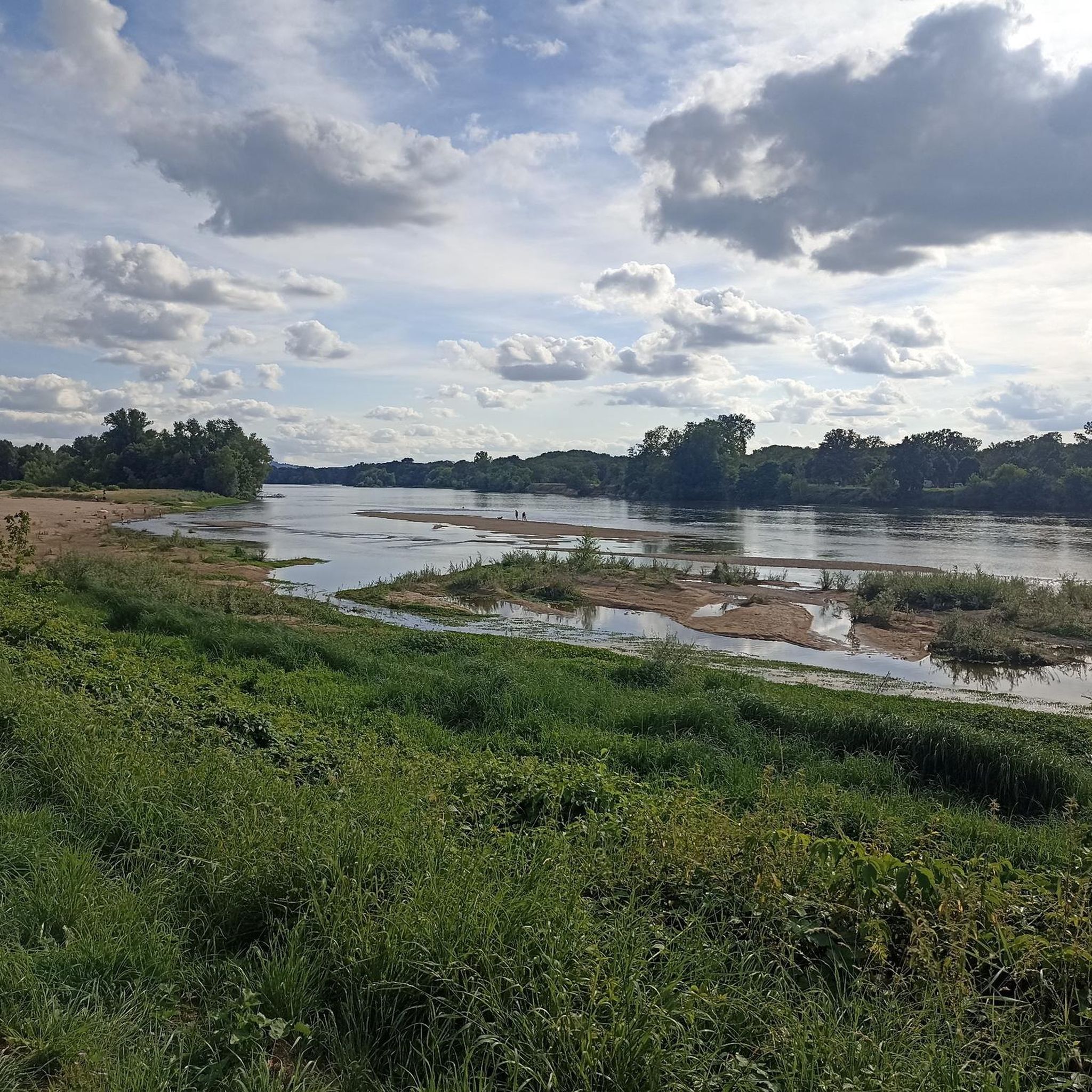
Rivers and canals crisscross the country, the latter in particular being a crucial part of the transport infrastructure in earlier times. Later, first rail, and later again trucks, took over the task of transporting goods. In the competition between different modes of transport, they were faster and cheaper than barges – and thus more efficient. When building the artificial waterways, however, it had to be taken into account that differences in elevation always had to be overcome, and so locks are often lined up along the canals – at varying intervals, depending on the local situation. Only with their help was shipping possible.
0
0
It is presumably a former "chemin de halage" (in German "treidelpfad" or "leinpfad"), which runs alongside the canal's bed. In earlier times, such a path was an essential part of the transport infrastructure. Before ships could be powered by motors, horses walked along the bank, pulling the boat against the current. This was called "treideln" (pulling), and this is how the towpaths got their name, which has been passed down to this day. Where these paths, which run close to the bank, have been preserved, they are popular with hikers, walkers, joggers, and cyclists.
1
0

It's a very beautiful place with a magnificent 360° view...
0
0

The trip along the canal is a meditation - at least as relaxing as one.
1
0
Frequently Asked Questions
What is the general difficulty level of gravel biking trails around Boulleret?
The gravel biking trails in Boulleret primarily cater to more experienced riders. Out of 16 available routes, 10 are rated as difficult, and 6 are moderate. There are no easy routes specifically designed for beginners.
Are there any family-friendly gravel biking routes in Boulleret?
Given that most routes around Boulleret are rated as moderate to difficult, truly family-friendly options for younger children or less experienced riders are limited. The region's terrain, with its rolling hills and longer distances, is generally more suited for adults with some gravel biking experience.
What kind of terrain can I expect on gravel bike trails in Boulleret?
You can expect a diverse mix of terrain. Routes often follow the Canal latéral à la Loire, offering flat, scenic sections. Beyond the canal, you'll encounter rolling hills, agricultural lands, and forested sections, providing varied surfaces for gravel cyclists.
Are there any circular gravel bike routes in Boulleret?
Yes, many of the gravel bike trails in Boulleret are designed as loops. For example, the popular Canal Latéral à la Loire – Entrance to the Briare canal bridge loop from Tracy - Sancerre and the Mantelot lock – Canal latéral à la Loire loop from Savigny-en-Sancerre are both circular routes, allowing you to start and finish at the same point.
What are some scenic viewpoints or landmarks to look out for on the gravel trails?
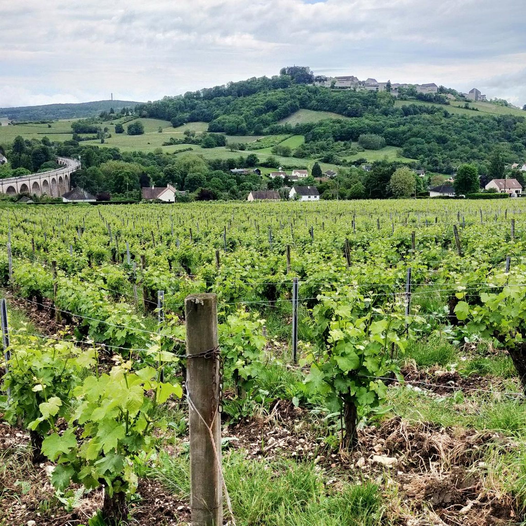
Along the trails, you can enjoy views of the Canal latéral à la Loire and its historical locks, such as Boisrond Lock. The Viewpoint over the Sancerre valley offers panoramic vistas, and you might also pass the impressive Saint-Satur Viaduct.
What is the best time of year for gravel biking in Boulleret?
The Loire Valley generally offers pleasant conditions for cycling from spring through autumn. Spring brings blooming landscapes, while autumn provides beautiful foliage. Summer can be warm, but canal-side routes often offer some shade. Winter riding is possible but may involve colder temperatures and potentially wetter conditions on unpaved sections.
How long are the gravel bike trails around Boulleret?
The length of gravel bike trails in Boulleret varies significantly. You can find shorter loops like the Port of Saint-Satur – Sancerre loop from Tracy - Sancerre, which is about 43 km (26.8 miles) and takes around 3 hours. Longer routes, such as the Canal Latéral à la Loire – Entrance to the Briare canal bridge loop from Tracy - Sancerre, can be up to 142 km (88.3 miles) and require over 9 hours to complete.
What do other gravel bikers enjoy most about gravel biking in Boulleret?
The area is highly rated by the komoot community, with an average score of 4.5 stars. Reviewers often praise the diverse landscapes, from serene canal paths to challenging vineyard hills, and the opportunity to explore rural France on two wheels.
Are there any less crowded gravel bike trails in Boulleret?
While the canal paths can be popular, venturing onto the routes that climb into the surrounding agricultural lands and forested sections, such as parts of the Château de Ratilly – Porte de Cosne loop from Cosne-sur-Loire, can offer a more secluded experience away from the main waterways.
What should I wear for gravel biking in Boulleret?
Given the varied terrain and potential for longer rides, we recommend wearing comfortable, moisture-wicking cycling apparel. Layers are advisable, especially during spring and autumn, to adapt to changing temperatures. Padded shorts are highly recommended for comfort on longer distances, and sturdy cycling shoes are essential for both riding and any off-bike exploration.
Are there options for advanced gravel bikers looking for a challenge?
Absolutely. Boulleret offers several challenging routes for advanced gravel bikers. For instance, the Entrance to the Briare canal bridge – Briare Canal Bridge loop from Savigny-en-Sancerre is a difficult 138.9 km (86.3 miles) route with significant elevation gain, providing a demanding ride through varied landscapes.
Most popular attractions around Boulleret

Get inspired with the komoot mobile app


Explore more
Browse the best Gravel rides in other regions.
