The best gravel rides around Saint-Éloi
4.4
(16)
95
riders
15
rides
Gravel biking around Saint-Éloi offers diverse terrain, particularly in areas like Mont-Saint-Éloi in Pas-de-Calais and near Nevers by the Loire River. The landscape around Mont-Saint-Éloi features significant elevations, including a 136-meter peak, alongside chalk quarries and woodlands. Near Nevers, the region is characterized by its proximity to the Loire River, providing a blend of natural riverine landscapes. These areas offer varied surfaces suitable for gravel cycling, from steep paths to riverside trails and unpaved segments.
Best gravel bike trails around…
Last updated: October 4, 2026
4.0
(2)
12
riders
Moderate gravel ride. Good fitness required. Mostly paved surfaces. Suitable for all skill levels.
4.3
(3)
34
riders
Hard gravel ride. Very good fitness required. Mostly paved surfaces. Suitable for all skill levels.

13
riders
91.8km
04:51
410m
410m
Moderate gravel ride. Good fitness required. Mostly paved surfaces. Suitable for all skill levels.
5.0
(1)
10
riders
73.8km
04:15
340m
340m
Moderate gravel ride. Good fitness required. Mostly paved surfaces. Suitable for all skill levels.
4.7
(3)
6
riders
43.2km
02:52
360m
360m
Moderate gravel ride. Good fitness required. Mostly paved surfaces. Suitable for all skill levels.
Get access to more routes and recommendations from other explorers.
Already have an account?
Our route recommendations are based on thousands of hikes, rides, and runs completed by other people on komoot.
Start today with a free account
Your next adventure awaits.
Tips from the Community

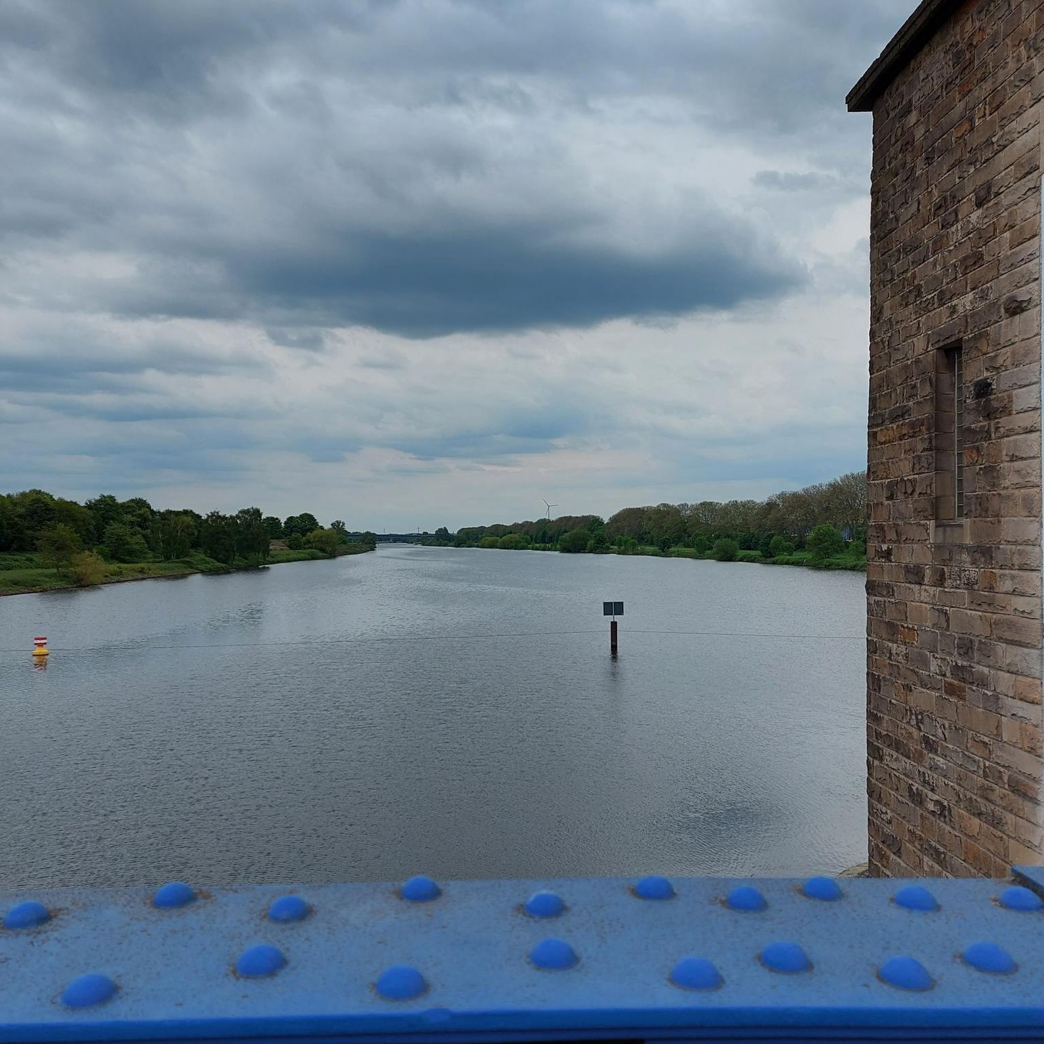
This rural village, bordered by the Rhône and the spectacular cliffs of Isle Crémieu, has just over 1,200 inhabitants (the Hiérois) and is part of the Balcons du Dauphiné community of municipalities.
0
0
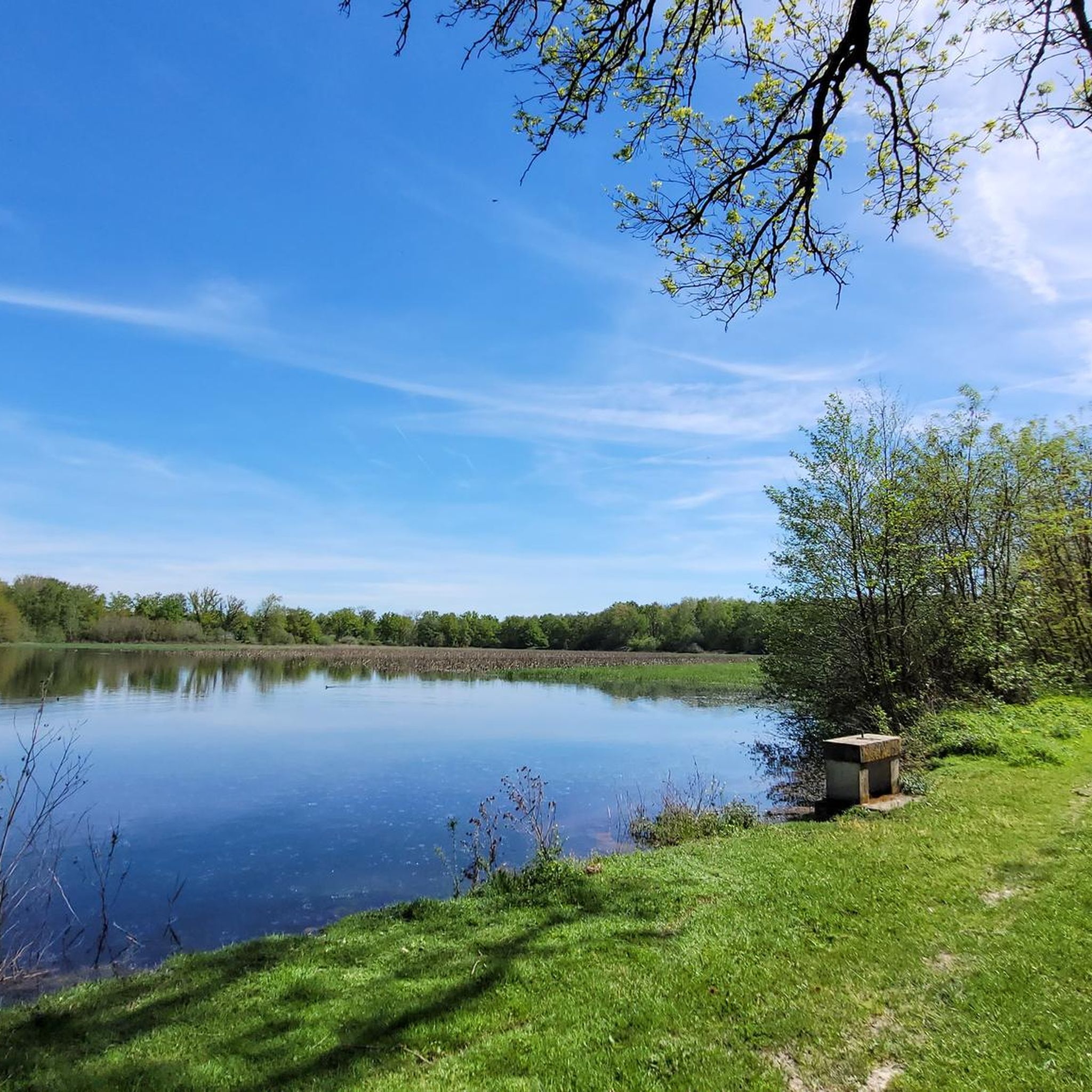
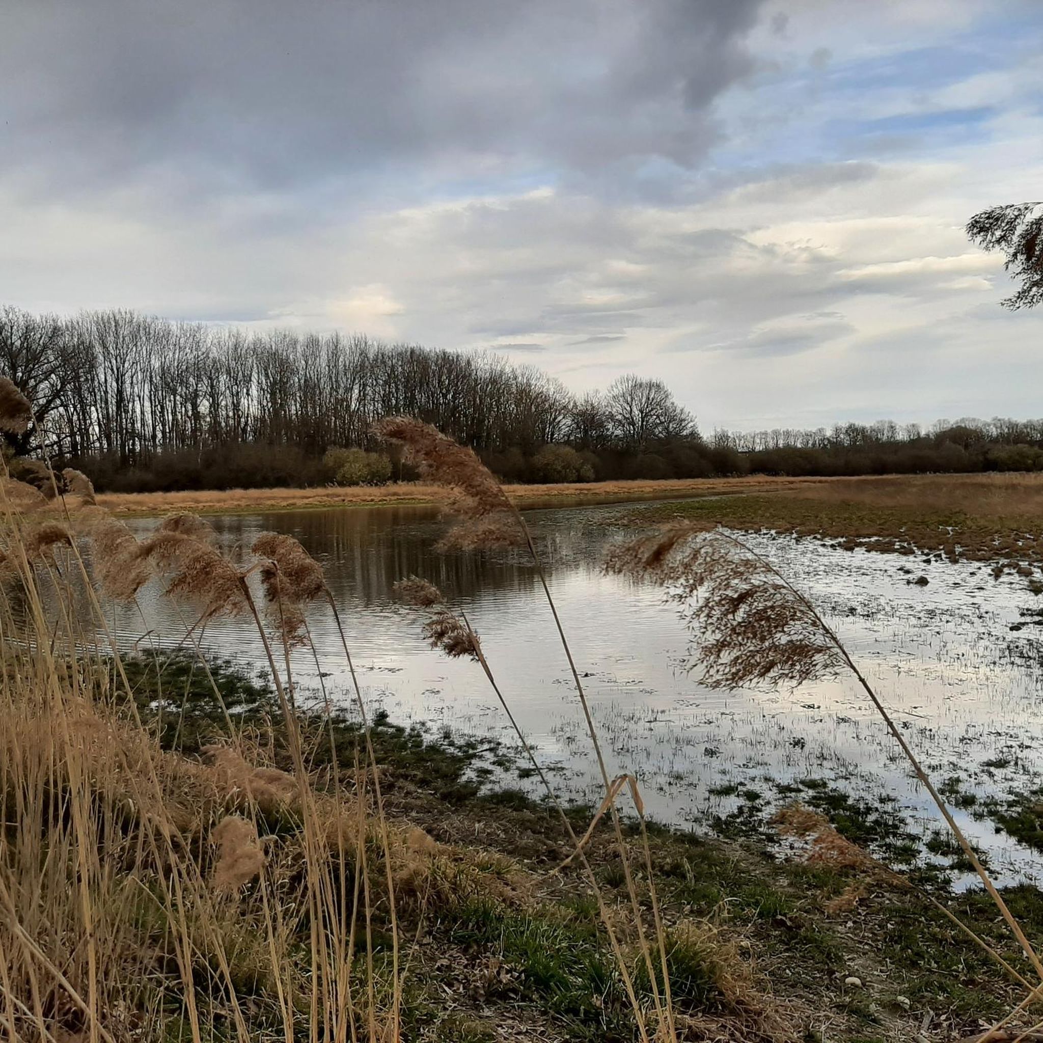
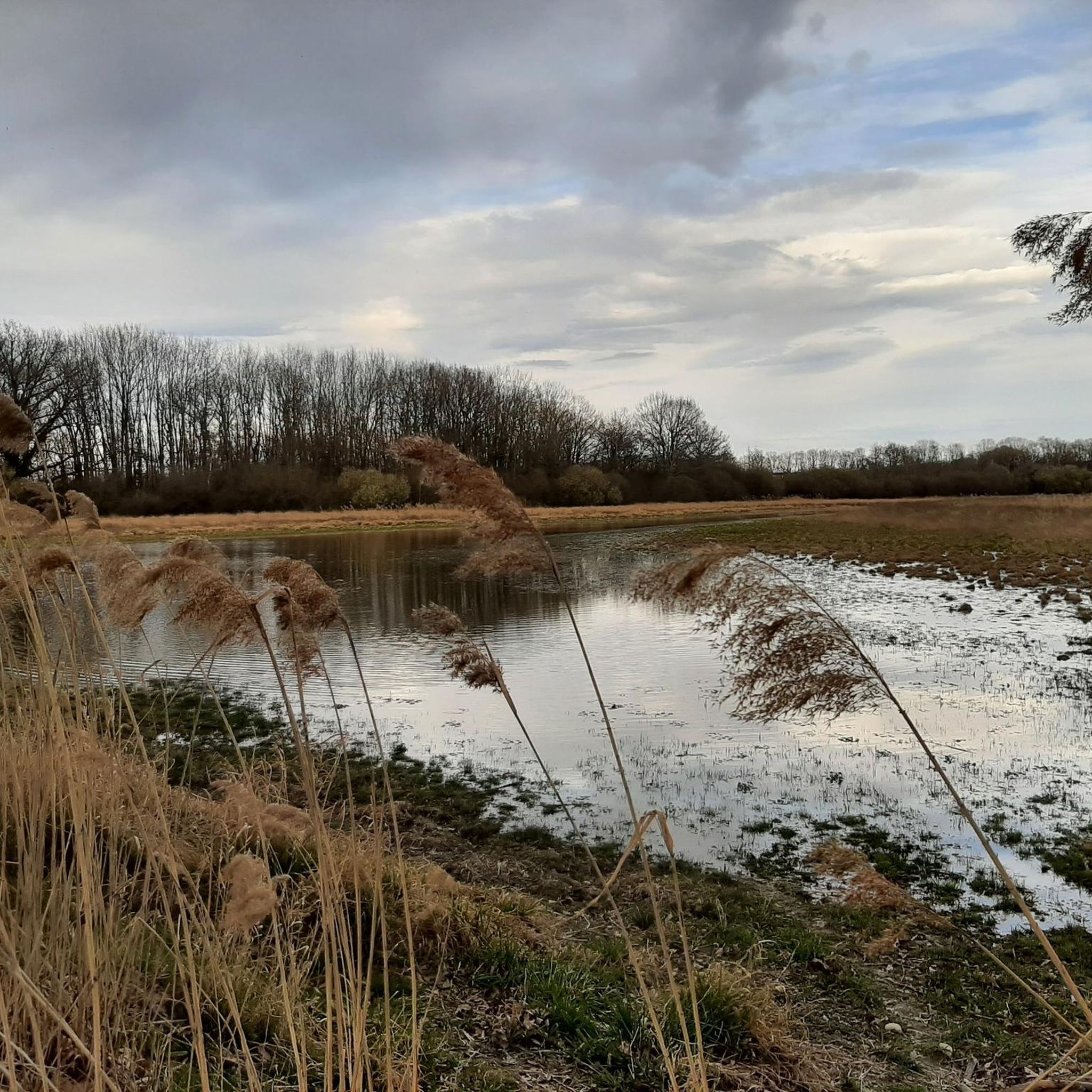
L'étang du Peillard is a charming small body of water located in the municipality of Saint-Romain-de-Jalionas, in the north of the Isère department, in the Auvergne-Rhône-Alpes region. It is located right next to the historic site of Moulin du Peillard.
0
0

Fantastic and definitely worth visiting. Here you can really unwind and relax.
1
0

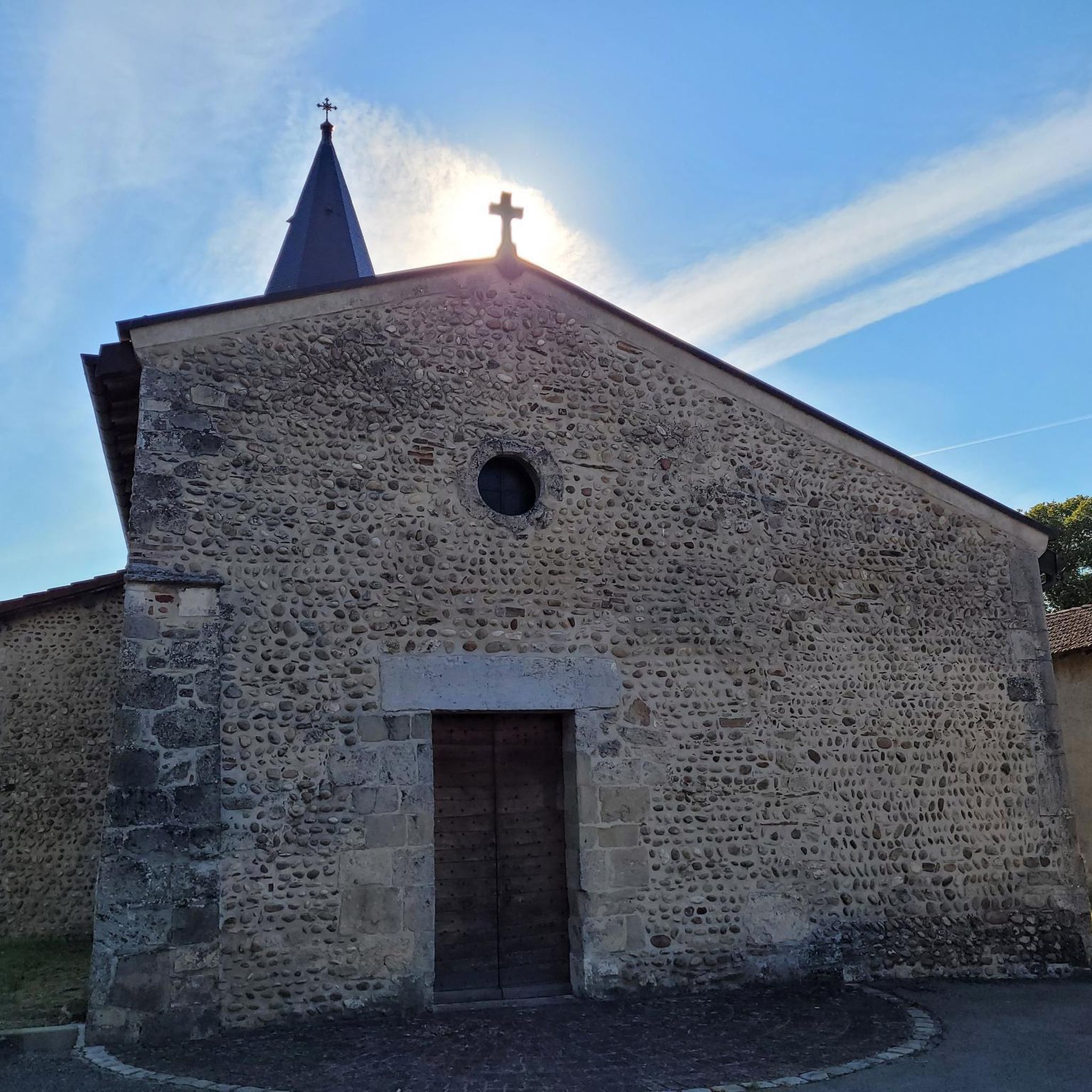
Very beautiful village with character, entirely made of stone; from the village, you can see the Madonna of the Larina Archaeological site.
0
0

Lunch or dinner / Les Voiles …
0
0

"Bouncy" roads but in the middle of nature and zero cars!
0
0

Discover here a pretty little pond with a beautiful diversity of dragonflies.
0
0
Frequently Asked Questions
How many gravel bike trails are available around Saint-Éloi?
There are over a dozen gravel bike trails around Saint-Éloi, offering a variety of experiences. The komoot community has explored 13 routes in total, with options ranging from moderate to difficult.
What are the typical distances for gravel bike routes in Saint-Éloi?
Gravel bike routes in Saint-Éloi vary significantly in length. For example, you can find extensive rides like Le Grand Large – Jonage Canal and Grand Large loop from La Valbonne, which covers over 126 km, or Miribel ford – Madonna of Mas Rillier loop from La Valbonne, which is around 73 km. Many routes are designed for longer excursions, often exploring river valleys and open landscapes.
Are there any family-friendly gravel biking options in Saint-Éloi?
While many of the listed routes are rated moderate to difficult, the region near Nevers, with its proximity to the Loire River, offers segments of the 'La Loire à Vélo' itinerary. These sections are generally flatter and more accessible, making them suitable for families looking for a less challenging ride. For specific family-friendly routes, it's best to check individual tour details on komoot for elevation and terrain information.
What kind of terrain can I expect on gravel bike trails in Saint-Éloi?
The terrain around Saint-Éloi is quite diverse. In areas like Mont-Saint-Éloi, you'll encounter significant elevations, steep paths, and panoramic views over the Scarpe Valley and Artois plain, often featuring chalk quarries and woodlands. Near Nevers, the routes tend to follow riverine landscapes along the Loire, offering a mix of natural beauty and cultural heritage. You can expect varied surfaces suitable for gravel cycling, from compacted dirt paths to more challenging, unpaved sections.
What are some notable natural features or viewpoints along the gravel trails?
Mont-Saint-Éloi offers splendid panoramic views from its 136-meter elevation over the Scarpe Valley and the Artois plain. The 'Sentier des Pierres du Diable' trail also provides superb views and leads to the 'Twin Stones.' Near Nevers, the Pont de Loire offers views of the river. Additionally, you can find highlights like Observation Platform - Étang Turlet, which provides scenic vistas.
What historical or cultural attractions can I visit while gravel biking in Saint-Éloi?
The region is rich in history. Near Mont-Saint-Éloi, the 'Sentier des 3 Abbayes' passes through historical sites, including remains of Benedictine abbeys. Near Nevers, the historic city itself offers attractions like the Palais Ducal and the Cathédrale Saint-Cyr-et-Sainte-Julitte. Other notable historical sites include the Medieval town of Pérouges, the Abbey of Notre-Dame des Dombes, and the Sainte-Madeleine Church of Le Montellier.
Are there any routes that explore lakes or waterways?
Yes, many routes in the Saint-Éloi area feature extensive waterways. For instance, Ain/Rhône confluence – The open sea loop from La Valbonne explores the confluence of two major rivers. You can also find several lakes and ponds in the vicinity, such as Aubépin Pond, Lake Neyton, and The ponds of the Dombes.
What is the best time of year for gravel biking in Saint-Éloi?
The diverse landscapes of Saint-Éloi, with its river valleys and elevated viewpoints, are generally enjoyable during spring, summer, and early autumn. These seasons offer pleasant weather for exploring the varied terrain. Winter conditions might make some of the steeper or unpaved sections more challenging due to mud or ice, especially in higher elevation areas like Mont-Saint-Éloi.
Are there any loop routes for gravel biking in Saint-Éloi?
Yes, many of the gravel bike routes around Saint-Éloi are designed as loops, allowing you to start and finish at the same point. Examples include Le Grand Large – Jonage Canal and Grand Large loop from La Valbonne and Ain/Rhône confluence – Le Grand Large loop from La Valbonne. These circular routes are convenient for day trips.
What do other gravel bikers say about the trails in Saint-Éloi?
The gravel biking routes in Saint-Éloi are highly rated by the komoot community, with an average score of 4.5 stars from over 10 reviews. More than 90 gravel bikers have used komoot to explore the area, often praising the diverse terrain, the blend of natural beauty with historical discovery, and the extensive riverine landscapes.
Are there options for advanced gravel bikers looking for a challenge?
Absolutely. Saint-Éloi offers several challenging routes, with 5 out of the 13 available tours rated as 'difficult.' These routes often feature significant elevation gains and longer distances, such as Ain/Rhône confluence – The open sea loop from La Valbonne, which covers over 94 km with substantial climbing. The steep paths in areas like Mont-Saint-Éloi are particularly well-suited for experienced riders.
Most popular routes around Saint-Éloi
Most popular attractions around Saint-Éloi

Get inspired with the komoot mobile app


Explore more
Browse the best Gravel rides in other regions.
