The best gravel rides around Montholier
4.5
(15)
55
riders
12
rides
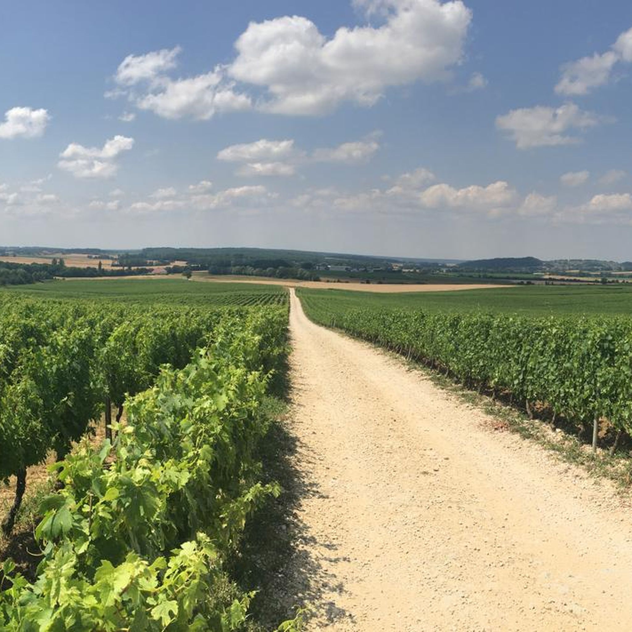
Gravel biking around Montholier features a landscape characterized by rolling hills and valleys, with routes often passing through forested areas and open countryside. The region includes notable viewpoints and natural features such as waterfalls, providing varied terrain for gravel cyclists. Elevation gains on routes indicate a mix of climbs and descents.
Best gravel bike trails around Montholier
- The most popular gravel bike trail is Fer à Cheval Viewpoint – Belvédère de la roche au Feu loop from Arbois, a…
Last updated: October 4, 2026
4.4
(5)
11
riders
Moderate gravel ride. Good fitness required. Mostly paved surfaces. Suitable for all skill levels.
4.0
(2)
12
riders
40.0km
02:50
650m
650m
Hard gravel ride. Very good fitness required. Mostly paved surfaces. Suitable for all skill levels.

4.5
(2)
6
riders
21.8km
01:36
410m
410m
Moderate gravel ride. Good fitness required. Mostly paved surfaces. Suitable for all skill levels.
5.0
(1)
4
riders
26.4km
01:53
540m
540m
Hard gravel ride. Very good fitness required. Mostly paved surfaces. Suitable for all skill levels.
3
riders
62.0km
04:10
990m
990m
Hard gravel ride. Very good fitness required. Mostly paved surfaces. Suitable for all skill levels.
Get access to more routes and recommendations from other explorers.
Already have an account?
Our route recommendations are based on thousands of hikes, rides, and runs completed by other people on komoot.
Start today with a free account
Your next adventure awaits.

Tips from the Community

The Port Lesney Bridge is a segmental arch bridge dating from the 15th century.
2
0
The segmental arch bridge dates from the 15th century.
1
0

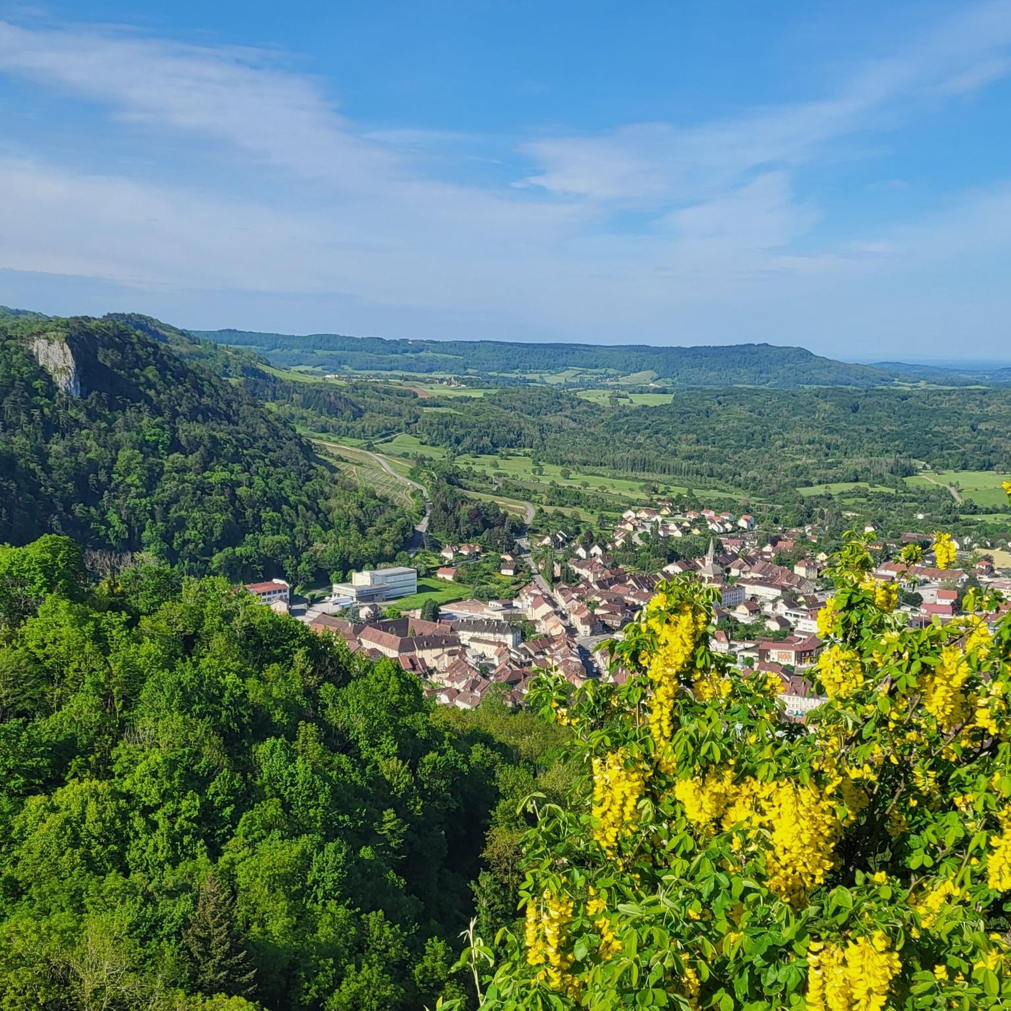
Wonderful viewpoint "Le Belvédère de la Châtelaine", which can be reached via a branch path, with views of the Cuisance valley and Ambois.
6
0
The natural waterfalls of the Tufs, formed on porous limestone rocks, offer an almost fairytale spectacle with their 15 m waterfall surrounded by lush vegetation.
8
0
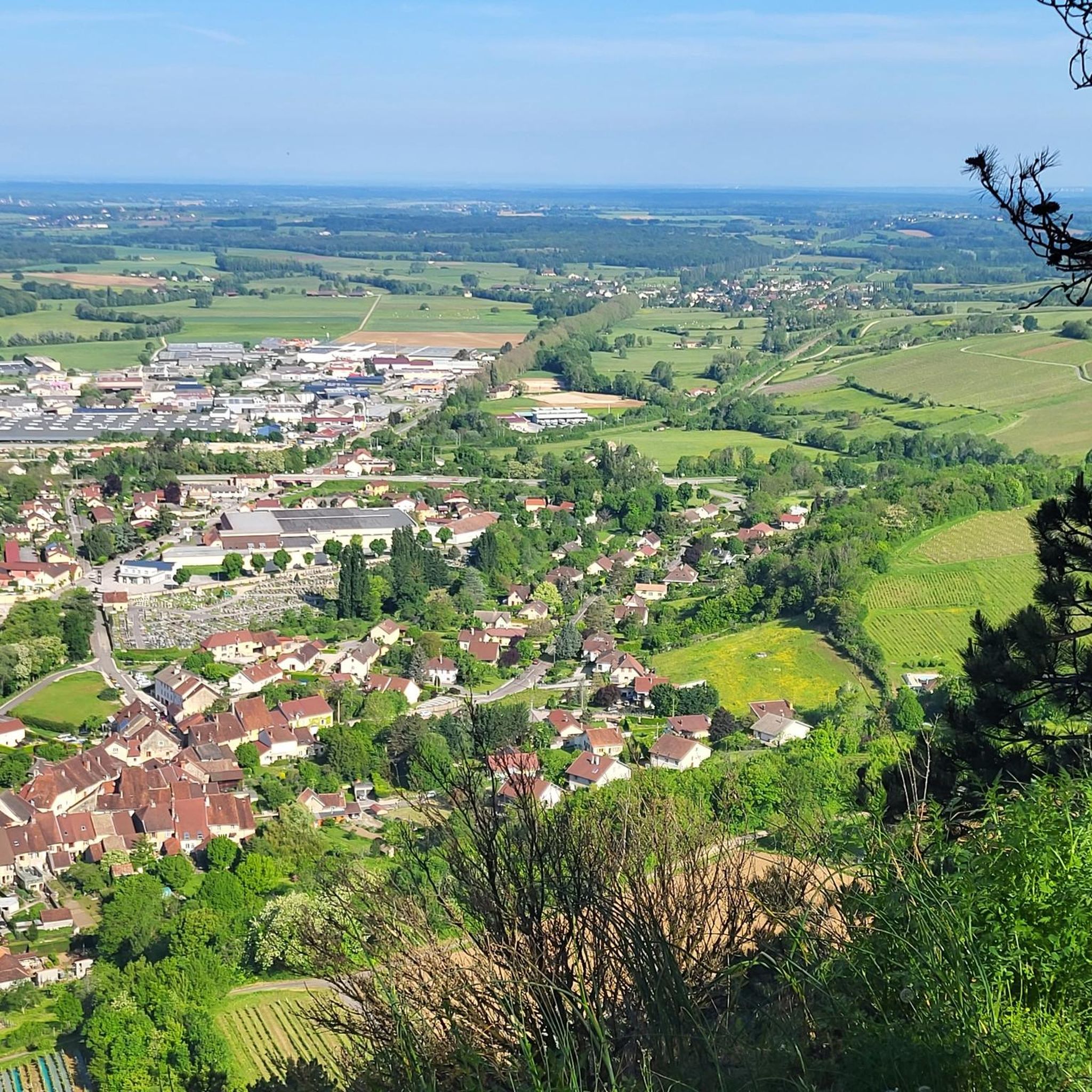
This viewpoint near the road offers a beautiful view of the valley and the steep rock faces, with a view extending as far as Arbois.
5
0


A small, secured viewpoint, high above the Arbois valley, offering fantastic views over the French Jura landscape.
3
0
On the way between La Châtelaine and the ruins of the former chateau is this magnificent viewpoint over the enchanting Arbois valley.
4
1
Frequently Asked Questions
What is the overall difficulty level of gravel biking trails in Montholier?
The gravel biking trails around Montholier offer a mix of challenges. While there are no easy routes, you'll find 3 moderate and 7 difficult routes. This variety ensures options for cyclists looking for a good workout with significant elevation changes.
Are there any family-friendly gravel biking options near Montholier?
The routes around Montholier are generally categorized as moderate to difficult, featuring rolling hills and elevation gains. For families with younger children or those seeking a very gentle ride, these trails might be challenging. It's best to review individual route details for specific terrain and elevation to determine suitability for your family.
Can I find circular gravel bike routes in the Montholier area?
Yes, many of the gravel bike routes in Montholier are designed as loops. For example, the Arbois – Liberty Square loop from Arbois and the Fer à Cheval Viewpoint – Cascade de Tufs loop from Arbois are popular circular options, allowing you to start and finish in the same location.
What kind of scenery can I expect on the gravel bike trails around Montholier?
The region is characterized by diverse landscapes, including rolling hills, dense forested sections, and open countryside. Many routes offer scenic viewpoints, such as the Fer à Cheval Viewpoint, and some even pass by natural features like waterfalls, providing a picturesque backdrop for your ride.
Are there any specific viewpoints or natural attractions along the gravel bike routes?
Yes, several routes incorporate stunning natural features. The Fer à Cheval Viewpoint – Belvédère de la roche au Feu loop from Arbois offers expansive views. You can also find routes that pass by waterfalls, such as the Fer à Cheval Viewpoint – Cascade de Tufs loop from Arbois. Additionally, nearby attractions include the town of Arbois and The President Beech.
What is the best season for gravel biking in Montholier?
Montholier experiences a temperate climate, making spring, summer, and early autumn ideal for gravel biking. During these seasons, you can expect pleasant temperatures and lush scenery. While winter riding is possible, be prepared for colder conditions and potentially wet or icy trails, especially in forested or higher elevation areas.
Where can I find parking for gravel bike trails in Montholier?
Many routes start from towns like Arbois, where public parking is generally available. For example, routes like the Arbois – Liberty Square loop from Arbois begin directly in the town, making it convenient to park your vehicle before starting your ride.
Are there any amenities like cafes or restaurants along the gravel bike routes?
The routes often pass through or start from charming towns such as Arbois. These towns typically offer a selection of cafes, bakeries, and restaurants where you can refuel and relax. It's a good idea to plan your route to include these stops, especially on longer rides.
What do other gravel bikers say about the trails in Montholier?
The gravel biking routes in Montholier are highly regarded by the komoot community, holding an average rating of 3.9 stars from over 7 reviews. Cyclists often praise the varied terrain, scenic viewpoints, and the engaging challenge offered by the rolling hills and forested sections.
How long do gravel bike routes typically take to complete in Montholier?
The duration of gravel bike routes in Montholier varies depending on the distance and difficulty. For instance, a moderate route like the Saint-Lothain Water Fountain – Poligny loop from Poligny, covering 11.4 miles (18.4 km), might take around 1 hour 26 minutes. Longer, more difficult routes, such as the Fer à Cheval Viewpoint – Arbois loop from Arbois at 17.9 miles (28.9 km), could take approximately 2 hours 26 minutes.
Most popular routes around Montholier
Most popular attractions around Montholier

Get inspired with the komoot mobile app


Explore more
Browse the best Gravel rides in other regions.
