The best running trails around Saffres
4.5
(5)
204
runners
24
runs
Jogging around Saffres offers a diverse experience through its distinctive natural features and varied landscapes in the Côte-d'Or department of Burgundy. The region is characterized by impressive limestone cliffs, reaching an average height of 20 meters, which provide panoramic views over the surrounding valley. Runners can explore verdant forests and hilly terrain, offering a mix of easily accessible paths and more challenging routes with elevation gain. This varied environment makes Saffres an excellent destination for outdoor activities, including running.
Best…
Last updated: July 28, 2026
5.0
(2)
43
runners
10.6km
01:17
190m
190m
Moderate run. Good fitness required. Mostly paved surfaces. Suitable for all skill levels.
17
runners
9.77km
01:02
100m
100m
Moderate run. Good fitness required. Mostly paved surfaces. Suitable for all skill levels.

Sign up for free
14
runners
6.81km
00:43
60m
60m
Moderate run. Good fitness required. Mostly paved surfaces. Suitable for all skill levels.
2
runners
8.17km
00:54
180m
180m
Moderate run. Good fitness required. Mostly paved surfaces. Suitable for all skill levels.
4.0
(1)
4
runners
10.9km
01:12
170m
170m
Moderate run. Good fitness required. Mostly paved surfaces. Suitable for all skill levels.
Get access to more routes and recommendations from other explorers.
Sign up for free
Already have an account?
Our route recommendations are based on thousands of hikes, rides, and runs completed by other people on komoot.
Start today with a free account
Your next adventure awaits.
Login or Signup
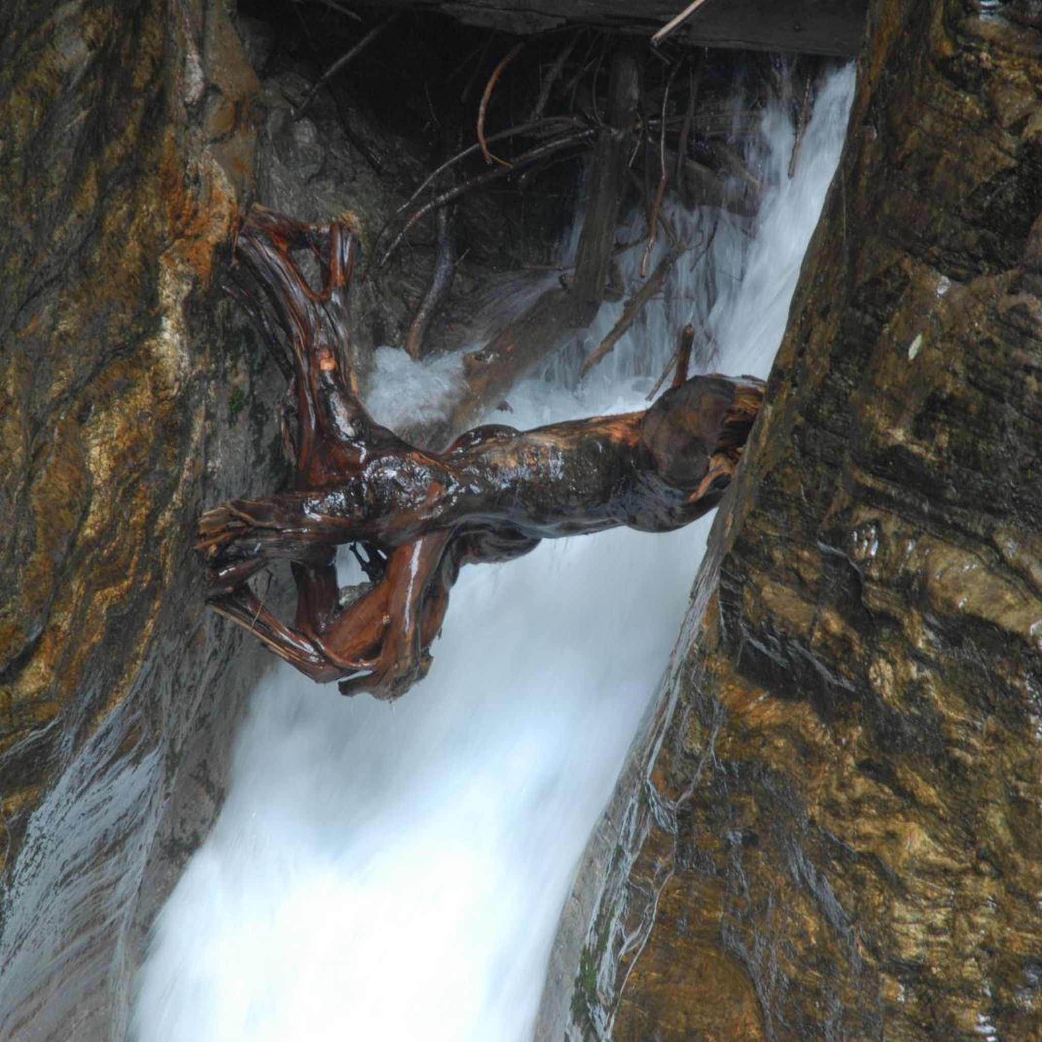
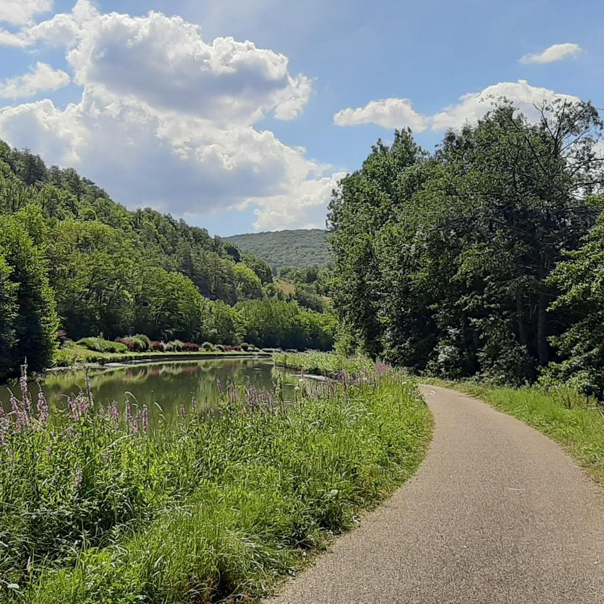
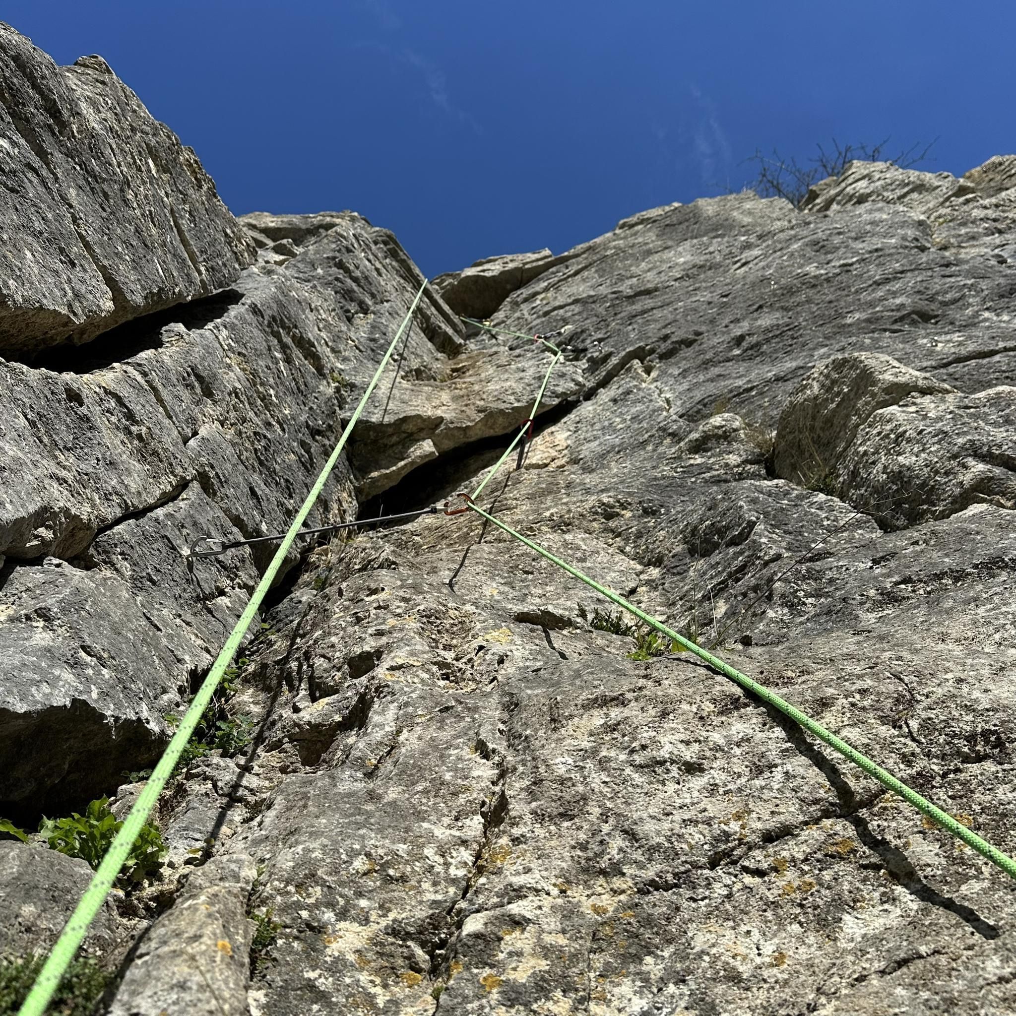
Tips from the Community

The church of St. Thibault has been restored and is worth a detour. However, I haven't seen any restaurants in the village, I fear we will have to wait for Pouilly to find something near the canal.
1
0

Catholic church open every day from 9 a.m. to 7 p.m. It is reminiscent of the Sainte-Chapelle of Paris in the mid-Gothic style, but this church is a little simpler and more Burgundian.
0
1
This reservoir supplies the Burgundy Canal. Its construction was completed in 1838. The site is classified in the National Inventory of Natural Heritage as a type 1 natural zone of ecological, fauna and flora interest.
0
0

Very nice place for campsite while bikepacking. The location is quite used by locals. But Beware water at the graveyard next to it is not drinkable!
1
0

It is one of the supply reservoirs of the Canal de Bourgogne. Located in the town of Grosbois-en-Montagne. It is a place for fishing and also for swimming in the summer, with an equipped beach.
1
1
Frequently Asked Questions
How many running routes are available around Saffres?
There are over 20 running routes around Saffres documented on komoot, offering a variety of experiences for different fitness levels. These include routes through forests, along cliffs, and past historic sites.
What makes Saffres a unique destination for outdoor running?
Saffres stands out for its dramatic natural features, particularly the impressive Falaise de Saffres (Cliffs of Saffres). Runners can enjoy routes with magnificent panoramic views over the Brenne valley, explore verdant forests, and navigate varied hilly terrain. The area's rich biodiversity, including nesting peregrine falcons, adds to the unique experience.
Are there any easy running routes suitable for beginners or families in Saffres?
Yes, while many routes offer varied terrain, there is at least one easy running route available. The region generally provides a mix of easily accessible paths and more challenging trails, so you can find options suitable for different fitness levels, including those looking for a less strenuous jog.
Can I find circular running routes in the Saffres area?
Many of the running routes around Saffres are designed as loops, allowing you to start and finish in the same location. For example, the Grosbois Reservoir loop from Grosbois-en-Montagne is a moderate 8.1 km circular route that offers scenic views.
What kind of natural landmarks or points of interest can I see while jogging in Saffres?
The Saffres area is rich in natural beauty and historical sites. You can encounter the dramatic limestone cliffs of Falaise de Saffres, explore surrounding forests, and discover interesting rock formations and caves. Some routes might also pass by historical sites like the Éguilly Castle or the historic village of Saint-Thibault.
Are there any running routes that pass by historic castles or notable buildings?
Yes, some routes offer glimpses of the region's history. For instance, the Château de Posanges loop from Vitteaux is a moderate 9.8 km path that winds through the countryside, passing by the historic Château de Posanges, offering a blend of natural beauty and cultural heritage.
What do other runners enjoy most about jogging in Saffres?
The komoot community highly rates the running experience in Saffres, with an average score of 4.0 stars. Runners often praise the varied terrain, the stunning panoramic views from the cliffs, and the peaceful atmosphere of the forest paths. The diverse landscape provides both challenging sections and enjoyable, scenic stretches.
Is there parking available near the trailheads in Saffres?
Yes, the Saffres area is generally well-equipped for outdoor enthusiasts. There are designated parking areas available, particularly near popular starting points for trails and at the Falaise de Saffres itself, making it convenient to access the running routes.
What is the best time of year for running in Saffres?
Saffres offers a pleasant running experience through much of the year. Spring and autumn provide comfortable temperatures and beautiful scenery with changing foliage. Summer is also suitable, especially in the shaded forest paths. While winter running is possible, it's advisable to check local conditions as some paths might be more challenging due to weather.
Are there any running routes where I might spot wildlife?
The forests and bocage areas around Saffres are rich in biodiversity. The cliffs are a natural nesting site for various bird species, including the Peregrine Falcon. Running through these natural environments, especially during quieter times of day, increases your chances of spotting local wildlife.
Are there any running routes that feature water bodies or reservoirs?
Yes, some routes incorporate water features. For example, the Historic dam loop from Grosbois-en-Montagne is a 10.6 km trail that offers views of a historic dam and its surrounding natural environment, providing a refreshing element to your run.
How long do running routes in Saffres typically take to complete?
The duration of running routes in Saffres varies depending on the distance and your pace. For example, the Running loop from Vitteaux, which is 6.8 km, can typically be completed in about 42 minutes. Longer routes, like the 10.9 km Saint-Thibault – Saint-Thibault Church loop from Beurizot, might take around 1 hour and 10 minutes.
Most popular attractions around Saffres

Get inspired with the komoot mobile app


Explore more
Browse the best Running Trails & Routes in other regions.
