The best mountain hikes around Pallud
4.6
(6)
79
hikers
7
hikes
Mountaineering routes around Pallud offer diverse terrain within the French Alps, characterized by significant elevation changes and varied landscapes. The region features challenging ascents to peaks and passes, alongside routes that traverse high-altitude lakes and forested areas. These routes provide opportunities for exploring alpine environments with demanding climbs and descents.
Best mountaineering routes around Pallud
- The most popular mountaineering route is Mountain Cow loop from Seythenex, a 6.0 miles (9.7 km) trail that takes 4 hours 28 minutes to…
Last updated: October 4, 2026
3.0
(1)
33
hikers
9.71km
04:33
920m
920m
Hard mountaineering route. Very good fitness required. Mostly accessible paths. Sure-footedness required.
9
hikers
12.3km
05:20
990m
990m
Hard mountaineering route. Very good fitness required. Sure-footedness, sturdy shoes and alpine experience required.

5.0
(1)
8
hikers
6.05km
03:44
690m
690m
Moderate mountaineering route. Good fitness required. Mostly accessible paths. Sure-footedness required.
3
hikers
7.71km
04:33
820m
810m
Hard mountaineering route. Good fitness required. Sure-footedness, sturdy shoes and alpine experience required.
5.0
(1)
3
hikers
8.36km
04:17
700m
710m
Hard mountaineering route. Good fitness required. Sure-footedness, sturdy shoes and alpine experience required.
Get access to more routes and recommendations from other explorers.
Already have an account?
Our route recommendations are based on thousands of hikes, rides, and runs completed by other people on komoot.
Start today with a free account
Your next adventure awaits.
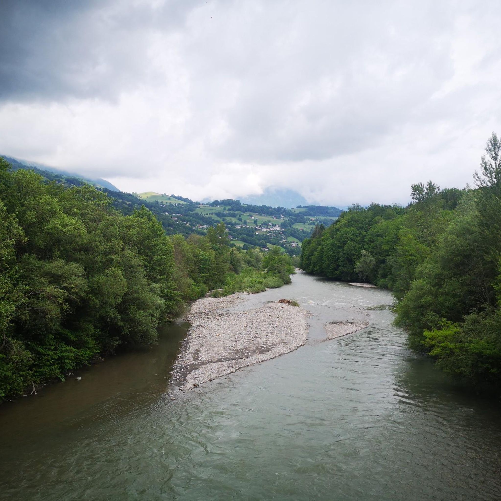
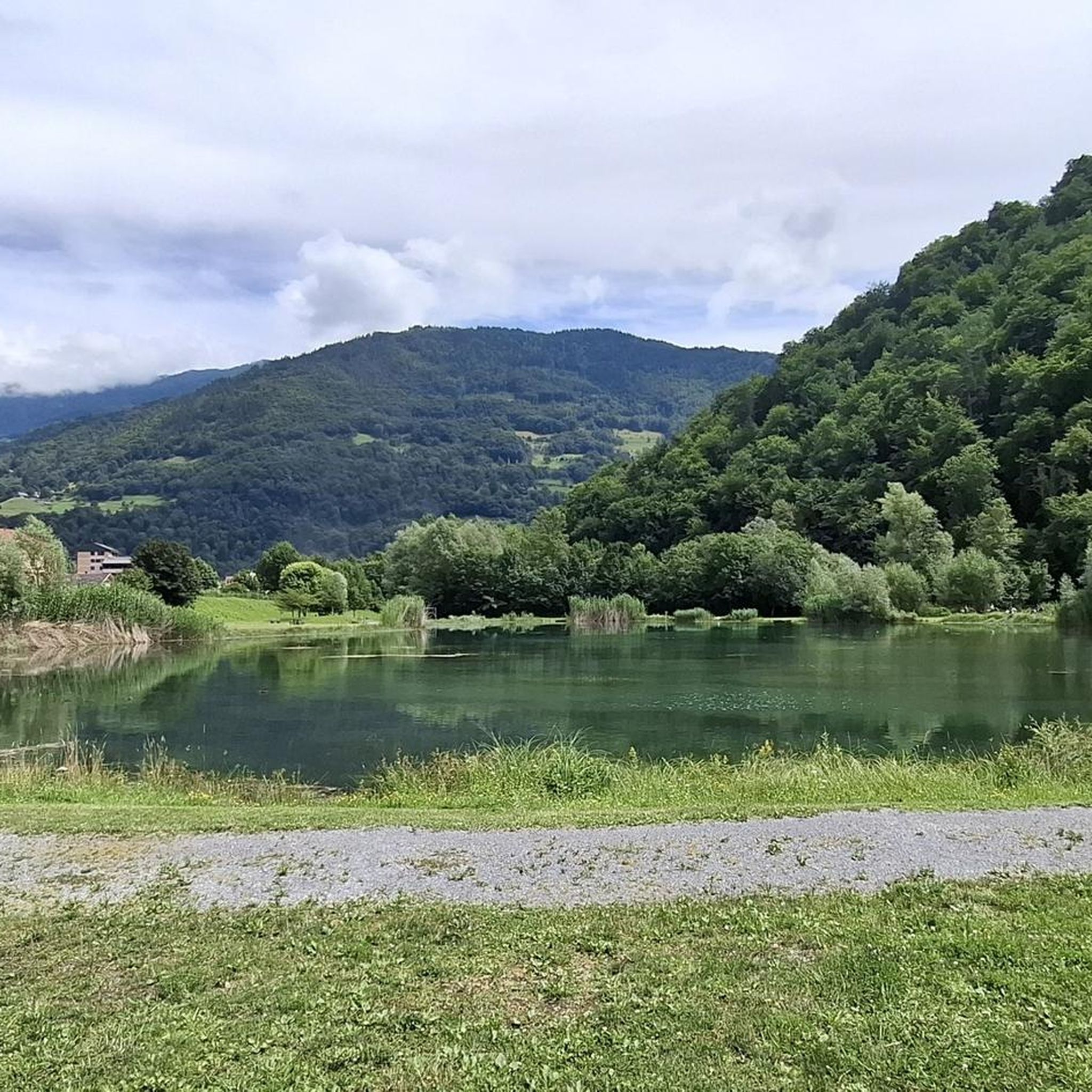
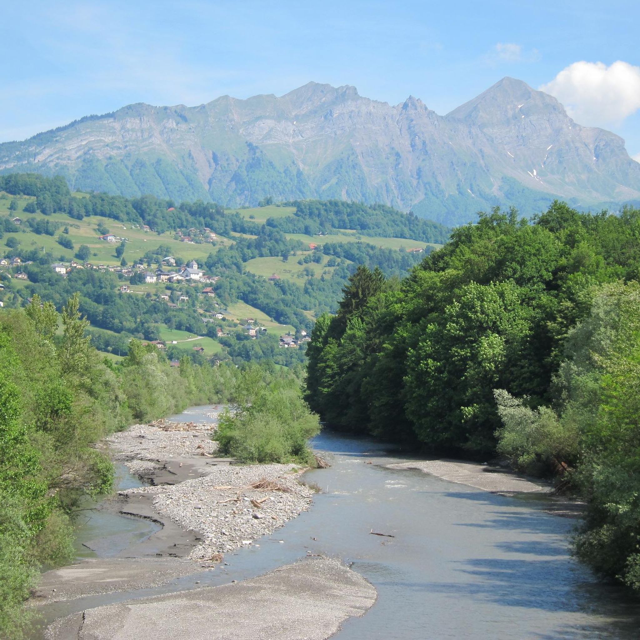
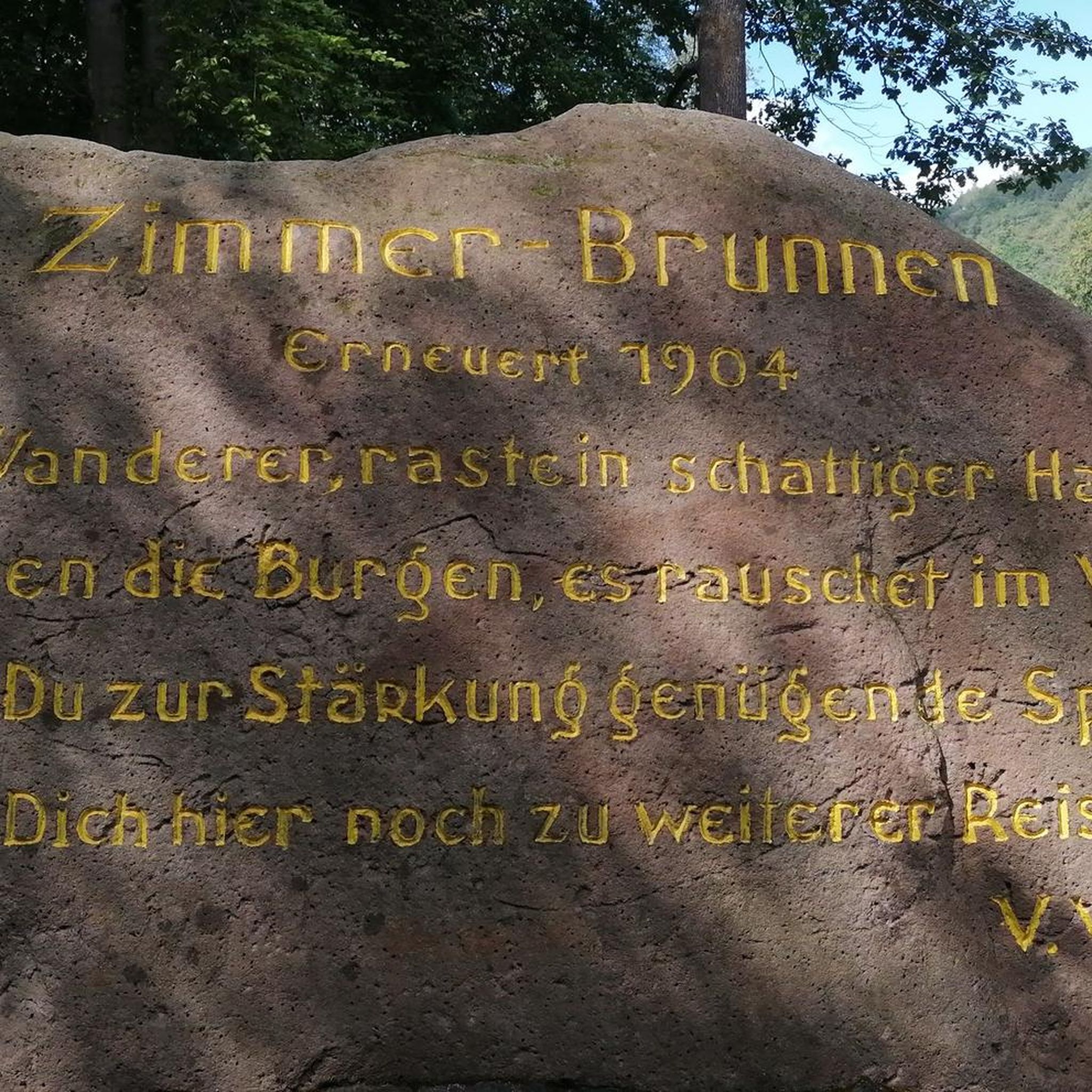

Tips from the Community

Amazing views on mount blanc, lac d’ annecy and more beautiful landscape! 😍 Attention, only take the path across the ridge to the chalet de L’Alpettaz if you are a really experienced hiker and like to get some adrenaline. It is super narrow and partly really dangerous. After finishing the dangerous part there is high grass through which the hike continues.
1
0

Located on the heights of Lake Annecy, this family-friendly resort is open winter and summer. Among the sports facilities are cycling trails that lead to discovering local heritage and expertise.
0
0

As you climb the challenging trail to the top of Petite Sambuy, you’ll be rewarded with breathtaking panoramic views across the Tarentaise Valley. This iconic peak, nestled in the heart of the magnificent French Alps, offers a truly awe-inspiring experience. From the summit, you’ll be able to admire the snow-capped mountains, picturesque villages and winding rivers that characterise the region.
0
0

Chalet under renovation but part of it nevertheless provides shelter.
0
0
Access is quite physical but you are largely rewarded by the sumptuous 360° landscapes once at the top 🤩
1
0

An incredible view! Relatively aerial trail with a few wired passages. But this ridge is worth the detour! Be careful though, you will necessarily want to follow it to the Belle Étoile
0
0

Very nice view with an outstanding 360° Alpine panorama! Coming from the north via Le pas de l'âne, don't underestimate the difficulty of the ridge. At the end of February there was still a lot of snow and the fuses are not in place over the entire length. In parts, the hike has more of a via ferrata character. The ridge is sometimes very narrow and it feels like several hundred meters down to the left and right. But if you are prepared for it and are used to challenging terrain, then it is a super nice hike and absolutely recommendable!
0
0

A beautiful view of the Mont Blanc Massif
0
0
Frequently Asked Questions
What kind of terrain can I expect on mountaineering routes around Pallud?
Mountaineering routes in Pallud, located in the French Alps, are characterized by significant elevation changes and varied landscapes. You'll encounter challenging ascents to peaks and passes, as well as routes that traverse high-altitude lakes and forested areas, providing a true alpine experience.
How many mountaineering routes are available in Pallud?
There are 7 distinct mountaineering routes around Pallud documented on komoot. These include 3 moderate and 4 difficult options, offering choices for various skill levels.
Are there any beginner-friendly mountaineering routes in Pallud?
While mountaineering in Pallud generally involves challenging ascents, there are moderate routes available. For example, the Mountain Cow loop from Seythenex is a moderate 9.7 km trail that features significant elevation gain through alpine pastures, suitable for those with some experience looking for a less extreme challenge.
What are some of the more challenging mountaineering routes in Pallud?
For experienced mountaineers seeking a challenge, routes like the Pointe de l'Arcalod – Orgeval Pass loop from Seythenex offer high mountain terrain and extensive views over 15.8 km. Another difficult option is the Lac de Lavouet – Lac Sans Fond loop from La Bâthie, which spans 19.2 km through mountainous landscapes and past high-altitude lakes.
Are there any circular mountaineering routes in Pallud?
Yes, many of the mountaineering routes in Pallud are designed as loops. Examples include the Mountain Cow loop from Seythenex, the Pointe de l'Arcalod – Orgeval Pass loop from Seythenex, and the Lac de Lavouet – Lac Sans Fond loop from La Bâthie, all offering a complete circular journey.
What do other mountaineers say about the routes in Pallud?
The mountaineering routes in Pallud are highly regarded by the komoot community, holding an average rating of 4.6 stars. Users often praise the challenging ascents, the rewarding views from high passes, and the exploration of alpine lakes.
Are there any notable natural features or landmarks to see along the mountaineering routes?
Yes, the region offers several natural highlights. You might encounter stunning mountain passes like Col de l'Arpettaz or Tamié Pass. Summits such as La Belle-Étoile and Dent of Cons also offer spectacular views and are often part of or visible from the routes.
Can I find routes that lead to scenic viewpoints in Pallud?
Absolutely. Many mountaineering routes in Pallud are designed to offer extensive views from high mountain terrain and passes. For instance, the Pointe de l'Arcalod – Orgeval Pass loop from Seythenex provides panoramic vistas. Additionally, the View of Mont Blanc is a highlight in the area, often accessible from various trails.
Are there any routes that explore high-altitude lakes?
Yes, the region features routes that lead past beautiful high-altitude lakes. The Lac de Lavouet – Lac Sans Fond loop from La Bâthie is a prime example, taking you through mountainous landscapes and past these serene water bodies.
What is the typical duration for mountaineering routes in Pallud?
The duration varies significantly based on the route's difficulty and length. Moderate routes like the Mountain Cow loop can take around 4.5 hours, while more difficult and longer trails such as the Lac de Lavouet – Lac Sans Fond loop might require over 7 hours to complete.
Is there a route that includes the Dent of Cons?
Yes, the Dent of Cons – Alpettaz Pass loop from Fort de la batterie Marthod is a difficult 7.7 km mountaineering route that incorporates the prominent Dent of Cons, offering a challenging experience with significant elevation.
Most popular attractions around Pallud

Get inspired with the komoot mobile app


Explore more
Browse the best Mountain Hikes & Routes in other regions.
