The best gravel rides around Champ-Laurent
5.0
(2)
22
riders
5
rides
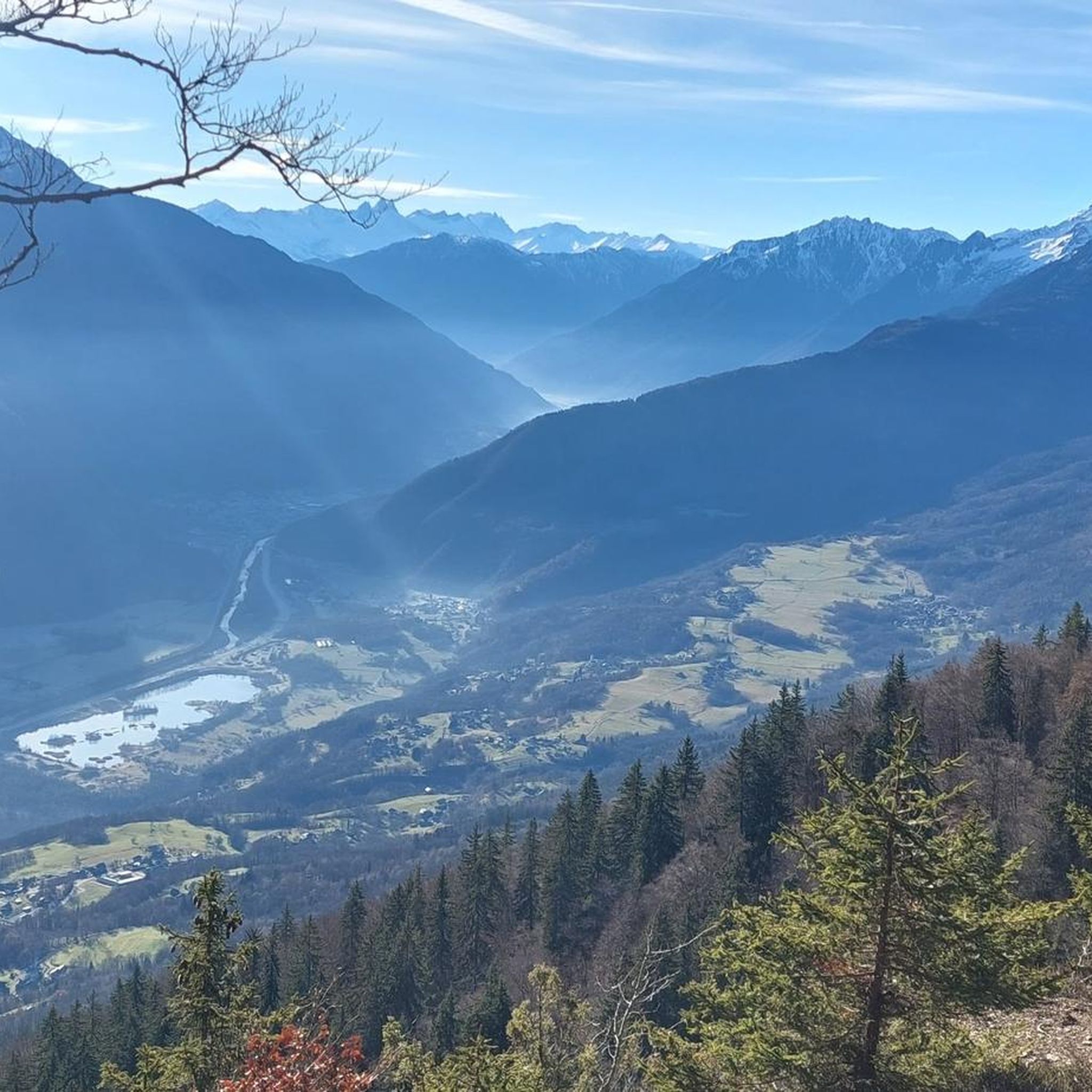
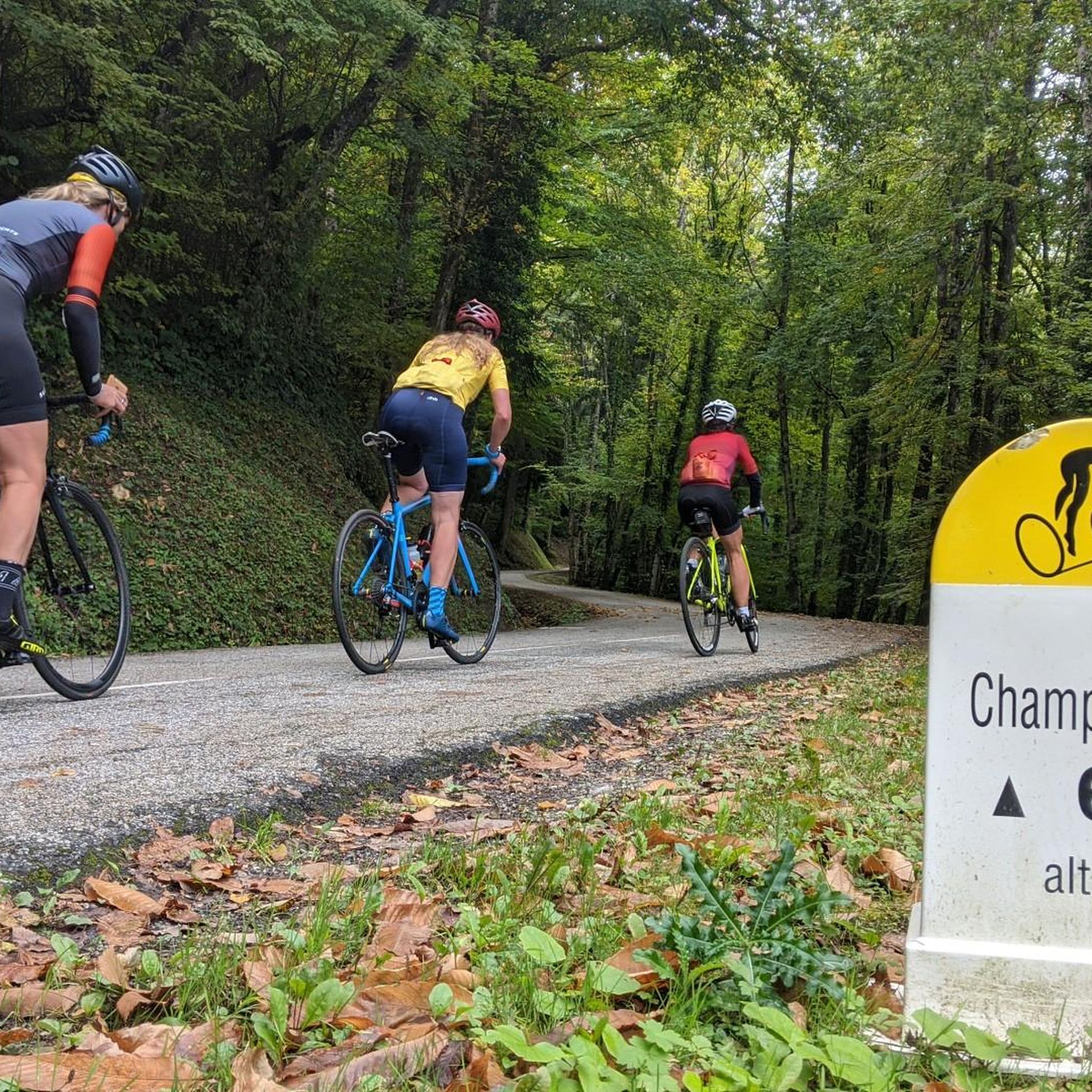
Gravel biking around Champ-Laurent, located in the Savoie region of France, offers diverse terrain for cyclists. The area features mountainous landscapes with significant passes like Col du Frêne and Col de Champ-Laurent, providing challenging ascents and scenic views. Riders can expect a mix of quiet roads, forest paths, and unpaved sections suitable for gravel bikes. The region's natural features include lakes such as Étang de Grésy and the Parc naturel régional du massif des Bauges, contributing to varied riding environments.
…Last updated: October 4, 2026
4
riders
106km
08:28
2,430m
2,430m
Hard gravel ride. Very good fitness required. You may need to push your bike for some segments of this route.
5.0
(2)
2
riders
31.4km
02:00
310m
310m
Moderate gravel ride. Good fitness required. Mostly paved surfaces. Suitable for all skill levels.

5
riders
25.2km
01:35
170m
170m
Moderate gravel ride. Good fitness required. Mostly paved surfaces. Suitable for all skill levels.
7
riders
47.6km
02:56
300m
300m
Moderate gravel ride. Good fitness required. Mostly paved surfaces. Suitable for all skill levels.
3
riders
37.7km
02:35
580m
580m
Hard gravel ride. Very good fitness required. Mostly paved surfaces. Suitable for all skill levels.
Our route recommendations are based on thousands of hikes, rides, and runs completed by other people on komoot.
Start today with a free account
Your next adventure awaits.



Tips from the Community


Ideally located along the Bella Via about fifteen kilometers from Albertville, cyclists can stop to refill their bottles and cool off. Other activities such as fishing or tennis are also practiced here. Surrounding massifs: Bauges to the north, Belledonne and Vanoise to the south
0
0

Beautiful church and small water spot.
2
0
Transit town in the valley, various options for mountains.
2
0

Surrounded by mountains, a castle, vineyards, fields, and streams, what more could you ask for
0
0
Every cemetery has water... Drinkable or not 😂
0
0
The place is clean and pleasant. There's room for everyone: fishermen, walkers, swimmers, cyclists...
0
0
The place is nice and clean. Ideal for fishing and plenty of room for swimming. A greenway runs alongside the pond...
0
0
Frequently Asked Questions
How many gravel bike trails are available around Champ-Laurent?
There are currently 8 gravel bike routes around Champ-Laurent documented on komoot. These routes offer a mix of moderate and difficult options, catering to various skill levels.
What kind of terrain can I expect on gravel bike trails in Champ-Laurent?
Gravel biking around Champ-Laurent features diverse terrain, including quiet roads, forest paths, and unpaved sections. You'll encounter mountainous landscapes with significant passes like the Col du Frêne and Col de Champ-Laurent, offering both challenging ascents and scenic views.
Are there any easy or moderate gravel bike routes for beginners or those seeking a less strenuous ride?
Yes, while many routes are challenging, there are moderate options. For a less strenuous ride near natural water features, consider the Lake Carouge – Étang de Grésy loop from Grésy-sur-Isère, which is 31.4 km long.
What are some notable natural features or landmarks I can see along the gravel bike trails?
The region is rich in natural beauty. You can explore significant mountain passes like the Col du Frêne (950 m) and the Col du Grand Cucheron. The Étang de Grésy is also a beautiful spot for relaxation, often with cycle paths running alongside it.
What is the best time of year for gravel biking in Champ-Laurent?
The mountainous terrain around Champ-Laurent, including high passes, means that late spring through early autumn typically offers the best conditions for gravel biking. During winter, some higher elevation routes may be affected by snow or ice.
Are there any long-distance or challenging gravel routes for experienced riders?
Absolutely. Experienced riders looking for a significant challenge can tackle routes like the Col du Grand Cucheron – Col du Grand Cucheron loop from Argentine. This difficult route spans 106.7 km and features substantial elevation gain through mountainous terrain.
What do other gravel bikers say about the trails in Champ-Laurent?
The gravel biking routes in Champ-Laurent are highly regarded by the komoot community, with an average rating of 4.5 stars from over 7 reviews. More than 40 gravel bikers have used komoot to explore the varied terrain, often praising the challenging climbs and immersive natural experiences.
Are there any loop routes available for gravel biking in the area?
Yes, many of the gravel routes around Champ-Laurent are designed as loops. Examples include the Fort de Montgilbert – Bike path loop from Grésy-sur-Isère, which offers varied landscapes and significant climbs, and the Lake Saint-André – Lake Saint-André loop from Grésy-sur-Isère.
Can I find routes that offer views of the surrounding mountains and valleys?
Many routes in the Champ-Laurent area provide magnificent views, especially from the mountain passes. For instance, the ascent to the Col de Champ-Laurent offers stunning panoramas of the Maurienne massifs. The View of Arclusaz – Saint-Georges-d'Hurtières loop from Châteauneuf is another excellent option for scenic vistas.
Are there any specific areas known for their natural beauty or wildlife that I can bike through?
The region's natural beauty is a highlight for gravel bikers. The nearby Parc naturel régional du massif des Bauges contributes to the area's natural appeal, offering diverse environments where you might encounter local wildlife. The routes often traverse serene forest paths and quiet natural settings.
What is the typical duration for a gravel bike ride in Champ-Laurent?
Ride durations vary significantly based on the route's length and difficulty. Moderate routes like the Lake Carouge – Étang de Grésy loop can take around 2 hours, while more challenging and longer routes, such as the Col du Grand Cucheron loop, can extend to nearly 10 hours.
Most popular routes around Champ-Laurent
Most popular attractions around Champ-Laurent

Get inspired with the komoot mobile app


Explore more
Browse the best Gravel rides in other regions.
