The best mountain hikes around Mûres
21
hikers
2
hikes
Mountaineering routes around Mûres are situated in the Isère department of the Rhône-Alpes region in France, offering access to the French Alps. The area is characterized by significant mountainous terrain, including proximity to the Ecrins National Park and distinctive peaks like Mont Aiguille. This region provides a diverse landscape for outdoor activities, with routes often featuring alpine passes, forested sections, and elevated viewpoints.
Best mountaineering routes around Mûres
- The most popular mountaineering route is Roc des Boeufs loop from La…
Last updated: October 31, 2026
8
hikers
8.17km
03:50
690m
690m
Hard mountaineering route. Good fitness required. Sure-footedness, sturdy shoes and alpine experience required.
6
hikers
10.1km
02:57
280m
290m
Moderate mountaineering route. Good fitness required. Easily walkable paths.

3
hikers
10.4km
04:02
670m
670m
Moderate mountaineering route. Good fitness required. Mostly walkable paths. Sure-footedness required.
4
hikers
5.78km
01:38
130m
130m
Easy mountaineering route. Easily walkable paths.
Our route recommendations are based on thousands of hikes, rides, and runs completed by other people on komoot.
Start today with a free account
Your next adventure awaits.
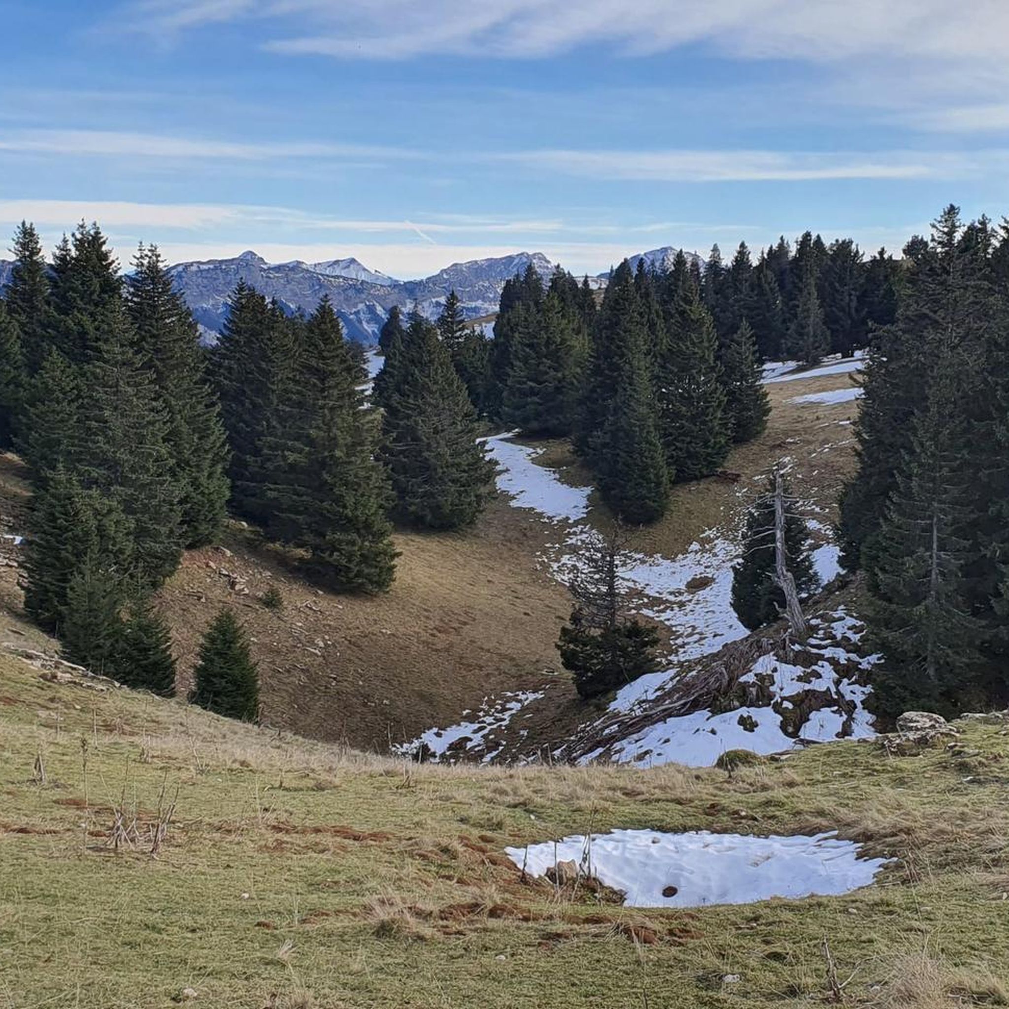
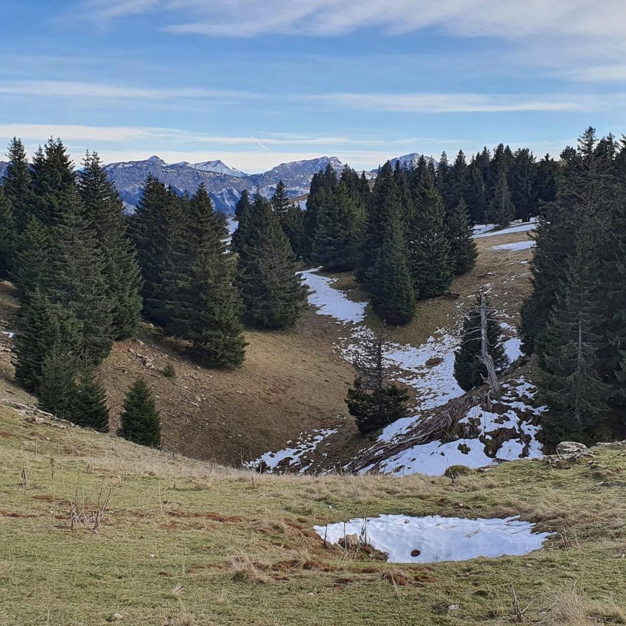
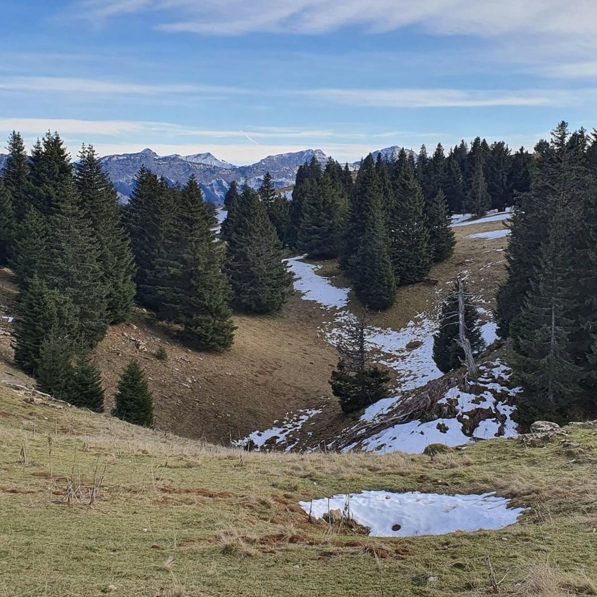
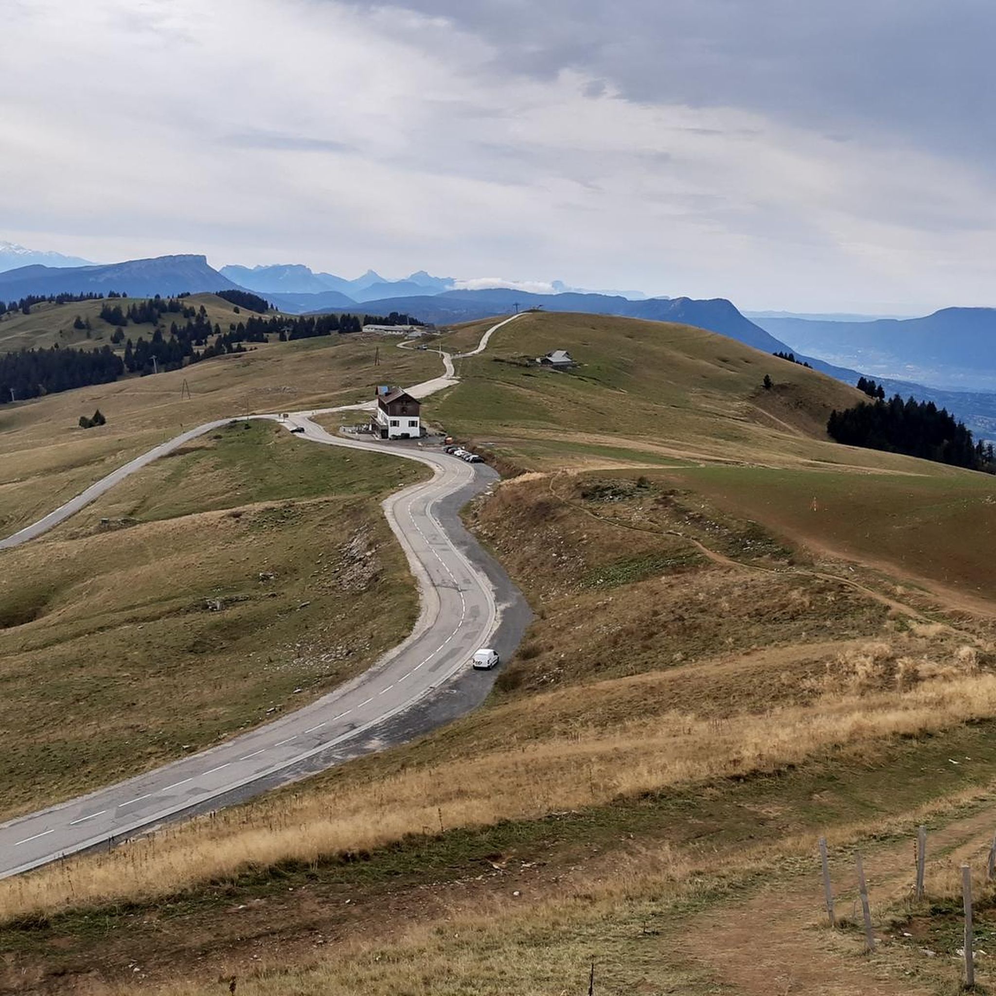

Tips from the Community

Friendly welcome and exceptional view. Ideal for a stop at midday or in the evening. Attention, remember to book. Water point appreciated just below at the farm level.
0
0
A sumptuous panorama of Mont-Blanc
0
0
Long and difficult but a great reward at the end
0
0

It goes up and up and up and then the candy! Magnificent 360º landscape
0
0

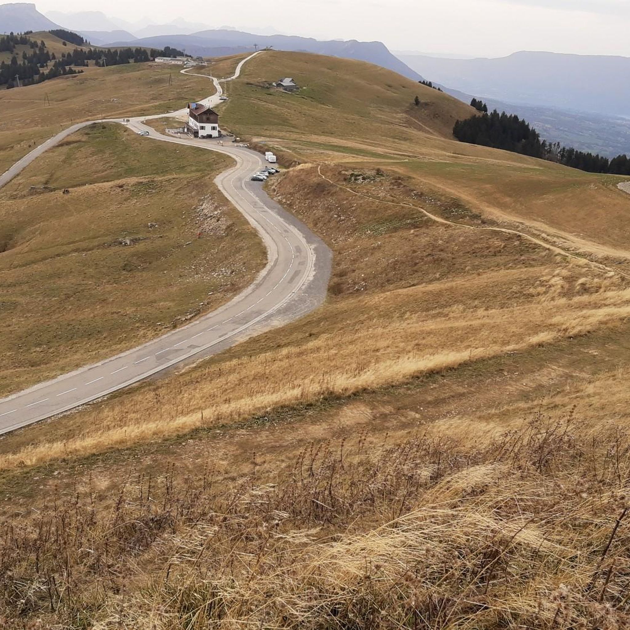
Highest point of Semnoz. Amazing views of Alps and surrounding countryside
0
0

Calm at altitude... On site, you will find hikers, cows, fresh air, grass, nature, parking lots and cyclists. Everything is there to relax and recharge your batteries. By respecting the signs regarding bicycles, the dangers of cows, the pedestrian routes, the mountain will be for everyone. A panoramic view of the area offers 360 degrees of beauty via a hike. Numerous on-site parking. Trail running here is great with multiple down and up hills through the forest. 👌
1
0

wide view, with a good view you can see Mont Blanc.
0
1

A summit offering magnificent views of Lake Annecy, the Tournette, and the Bauges mountains. This summit is accessible on foot or by climbing, and the climb to its ridge is a classic.
0
0
Frequently Asked Questions
How many mountaineering routes are available around Mûres?
This guide features four distinct mountaineering routes around Mûres, offering diverse experiences in the French Alps. These trails range from easy to moderate difficulty, providing options for various skill levels.
Are there any easy mountaineering routes for beginners in the Mûres area?
Yes, there is an easy route suitable for beginners. The Semnoz ascent – Crêt de l'Aigle loop from Les Alpages is a 5.8 km trail that takes approximately 1 hour 38 minutes to complete, offering a gentle introduction to the region's mountain landscapes.
What kind of views can I expect on the mountaineering routes around Mûres?
The routes around Mûres offer stunning panoramic views, especially from elevated points. For example, the Col du Semnoz summit – Crêt de Châtillon Summit loop from Maison du Semnoz provides expansive vistas from the Semnoz summit. You can also find beautiful viewpoints like the View from Croix du Chef-Lieu overlooking Lake Annecy nearby.
Are there any circular mountaineering routes in the Mûres region?
Yes, all the routes highlighted in this guide are circular, allowing you to start and end at the same point. Examples include the Roc des Boeufs loop from La Chapelle-Saint-Maurice and the La Culaz – Fenêtre des Pendants loop from Arith.
What are some notable natural landmarks or attractions near the mountaineering trails?
The Mûres area, being close to the French Alps, is rich in natural beauty. You can explore significant summits like Col du Semnoz summit and Crêt de Châtillon Summit. The dramatic Fier Gorge is also a notable natural monument in the vicinity.
What is the typical duration for mountaineering routes in Mûres?
The duration of routes around Mûres varies depending on their length and elevation gain. For instance, the moderate Roc des Boeufs loop from La Chapelle-Saint-Maurice typically takes around 3 hours 49 minutes, while the La Culaz – Fenêtre des Pendants loop from Arith is closer to 4 hours 3 minutes.
What is the best time of year for mountaineering in the Mûres region?
Given its proximity to the French Alps, the best time for mountaineering around Mûres is generally from late spring to early autumn (May to October). During these months, the weather is more stable, and trails are typically free of snow, offering optimal conditions for exploring the alpine terrain.
Are there any specific challenges or terrain types to be aware of on these routes?
Mountaineering routes around Mûres often feature significant elevation gain through alpine terrain, forested sections, and high-altitude landscapes. Some routes, like the Roc des Boeufs loop, involve substantial ascents, so a good level of fitness is recommended for moderate trails.
What do other mountaineers enjoy most about the routes around Mûres?
More than 20 mountaineers have used komoot to explore Mûres's varied terrain. They often praise the diverse landscape, which includes alpine passes, forested slopes, and high-altitude summits, offering a rich and rewarding experience in the French Alps.
Is there parking available near the starting points of the mountaineering routes?
While specific parking details for each trailhead are best checked on the individual route pages, routes often start from accessible locations such as La Chapelle-Saint-Maurice, Maison du Semnoz, or Arith, which typically offer parking facilities for outdoor enthusiasts.
Are there any options for food or accommodation near the mountaineering areas?
The Mûres region, being part of the Rhône-Alpes, offers various amenities. While specific cafes, pubs, or accommodations directly at trailheads are not detailed here, the nearby towns and villages, especially those closer to Lake Annecy or ski resorts like Alpe d'Huez, provide a range of options for dining and overnight stays.
What gear should I bring for mountaineering in Mûres?
For mountaineering in the French Alps, it's essential to be well-prepared. Recommended gear includes sturdy hiking boots, appropriate layers of clothing for changing weather conditions, rain gear, a map and compass or GPS device, sufficient water and snacks, a first-aid kit, and sun protection. For more challenging routes, trekking poles can also be beneficial.
Most popular attractions around Mûres

Get inspired with the komoot mobile app


Explore more
Browse the best Mountain Hikes & Routes in other regions.
