The best gravel rides around Champagneux
4.7
(31)
139
riders
11
rides
Gravel bike trails around Champagneux, located in the Savoie department of the Auvergne-Rhône-Alpes region, offer diverse terrain for outdoor enthusiasts. The area is characterized by riverine environments along the Rhône and Guiers, rolling countryside with views of distant vineyards, and a mountainous backdrop provided by the Alps. This blend of landscapes provides varied cycling experiences, from flat riverside paths to undulating rural roads.
Best gravel bike trails around Champagneux
- The most popular gravel bike trail is Crusille Pass (573 m)…
Last updated: October 3, 2026
5.0
(5)
11
riders
27.4km
01:53
230m
230m
Moderate gravel ride. Good fitness required. Mostly paved surfaces. Suitable for all skill levels.
4.8
(4)
24
riders
47.4km
02:38
250m
250m
Moderate gravel ride. Good fitness required. Mostly paved surfaces. Suitable for all skill levels.

5.0
(7)
39
riders
Moderate gravel ride. Good fitness required. Mostly paved surfaces. Suitable for all skill levels.
4.3
(6)
15
riders
44.3km
02:33
150m
150m
Moderate gravel ride. Good fitness required. Mostly paved surfaces. Suitable for all skill levels.
5.0
(1)
5
riders
17.7km
01:08
70m
70m
Easy gravel ride. Great for any fitness level. Mostly paved surfaces. Suitable for all skill levels.
Get access to more routes and recommendations from other explorers.
Already have an account?
Our route recommendations are based on thousands of hikes, rides, and runs completed by other people on komoot.
Start today with a free account
Your next adventure awaits.
Tips from the Community

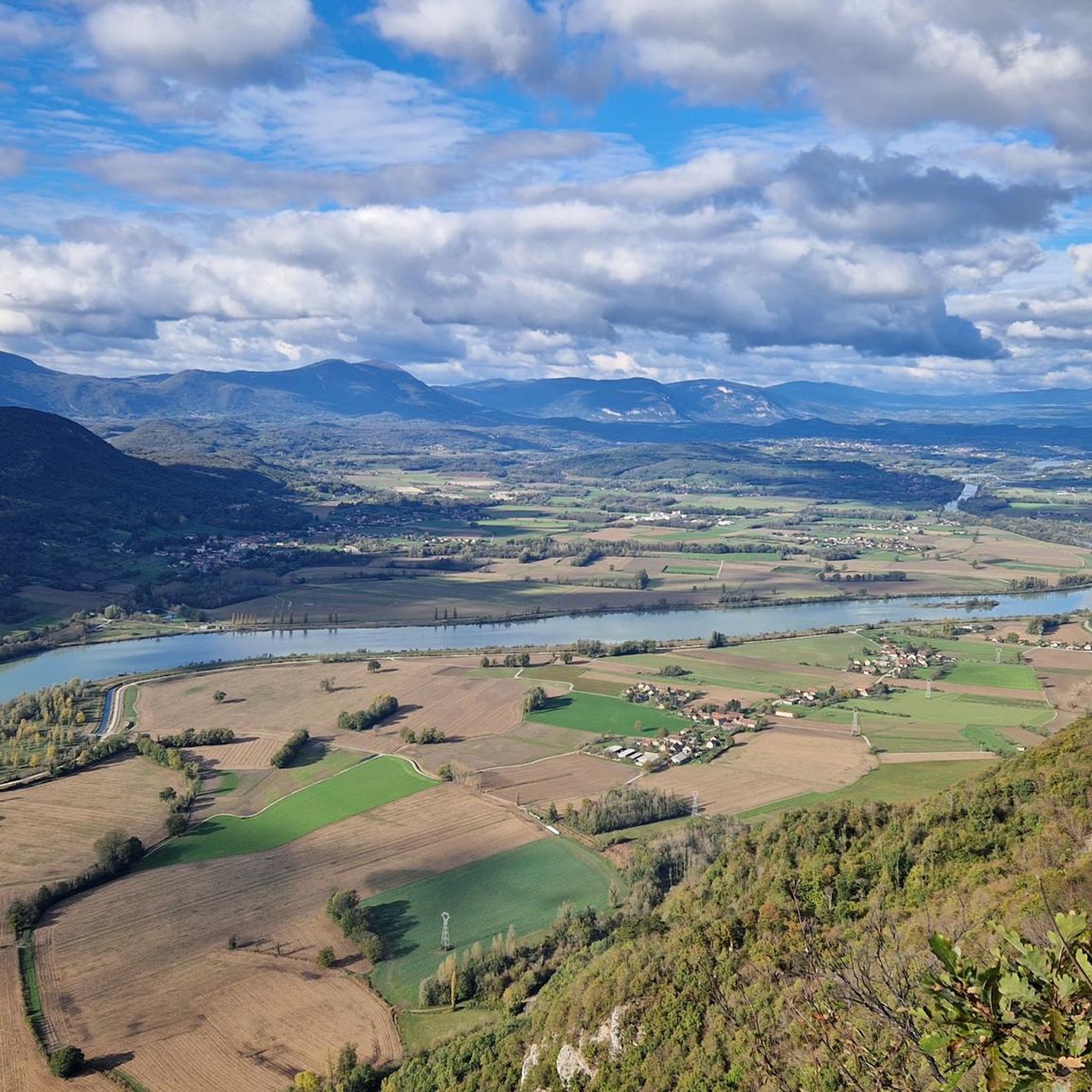
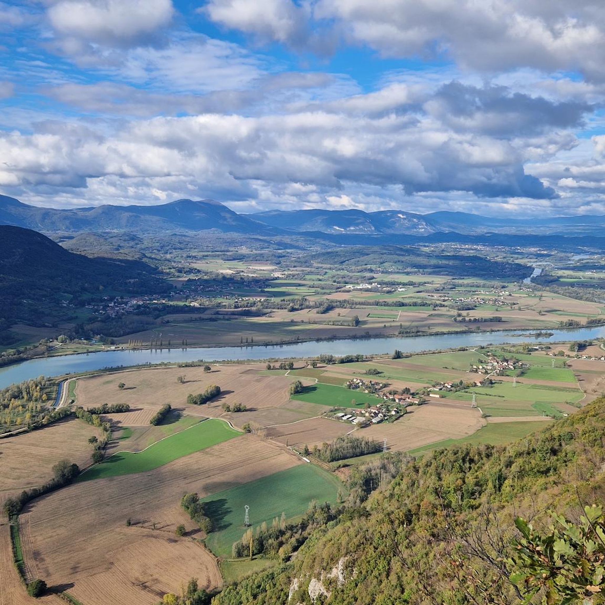
The trail runs along the Guiers river to its confluence with the Rhône, on the edge of Savoie.
0
0
The trail runs along the Guiers river to its confluence with the Rhône, on the edge of Savoie.
0
0
For a long time, this bridge marked the political border between the Kingdom of France (Dauphiné side) and the States of Savoy. In 1822, a border stone (stone no. 5) had been set in its center to demarcate the two territories. This historic stone has since been moved to the Place des Tilleuls in the village, where it serves as a fountain.
0
0
Built between 1942 and 1946 under the direction of architect V. Bollard, it has a unique span of 64 meters. It is one of the last large bridges made of dressed stone (from Parves) built in France.
0
0
Built between 1942 and 1946 under the direction of architect V. Bollard, it has a unique span of 64 meters. It is one of the last large bridges made of dressed stone (from Parves) built in France.
0
0
The site is freely accessible on foot and offers four major marked routes to gently explore its riches.
0
0
The area is located on the border between the departments of Isère and Ain, right next to the Pont d’Évieu. A specific ViaRhôna link allows you to reach the center of the commune of Les Avenières directly from this point via small country roads.
0
0

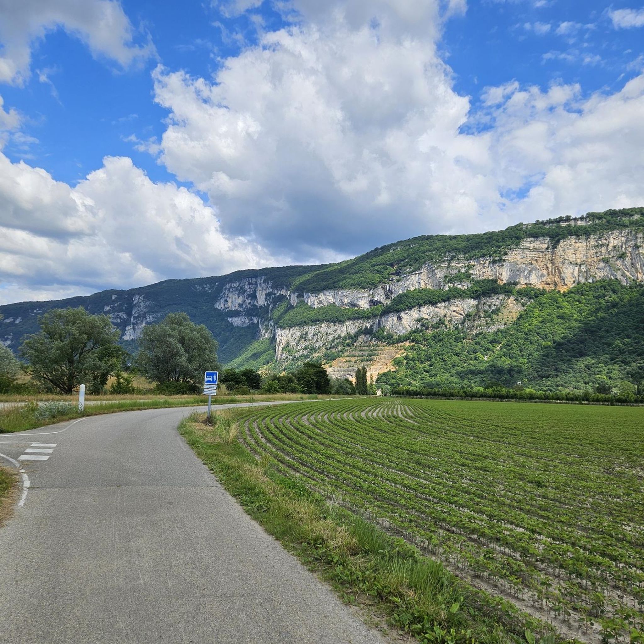
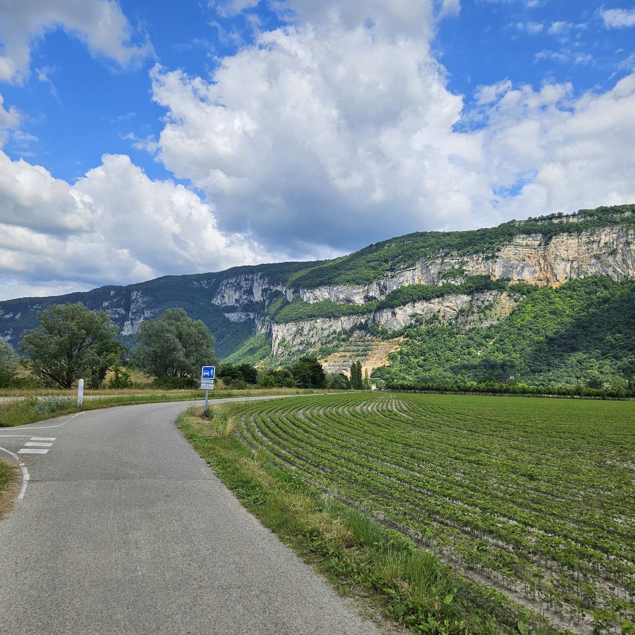
The Via Rhona in the direction of Belley. Magnificent cycle path
1
0
Frequently Asked Questions
What kind of terrain can I expect on gravel bike trails around Champagneux?
The Champagneux area offers a diverse mix of terrain. You'll find accessible riverside paths along the Rhône and Guiers, undulating rural roads through rolling countryside, and trails with views of the distant Alps. This blend provides varied cycling experiences, from relatively flat sections to more challenging ascents.
Are there any easy gravel bike trails suitable for beginners in Champagneux?
Yes, Champagneux offers several easy routes. For a gentle ride, consider the Cordon Bridge – Lac de Barterand loop from Saint-Genix-Sur-Guiers, which is about 17.8 km long. Another easy option is the Lac de Barterand – Beautiful view over the Rhône loop from Brégnier, covering approximately 20.5 km.
What are some notable viewpoints or landmarks along the gravel routes?
Many routes offer scenic views, particularly of the Rhône river and the surrounding landscapes. You can find stunning vistas like the View of the Rhône from Belvédère du Site des Fils. Additionally, some trails lead to mountain passes such as Crusille Pass (573 m), offering panoramic views, including those of Lake Aiguebelette.
Can I find trails that pass by waterfalls or other natural monuments?
Yes, the region features beautiful natural attractions. The Glandieu Waterfall is a notable natural monument you might encounter or visit nearby. There are also impressive geological features like the Rochefort Cliffs.
Are there any loop trails for gravel biking in Champagneux?
Many of the gravel routes in Champagneux are designed as loops. For example, the Virignin footbridge – Lake Lit au Roi loop from Yenne is a moderate 27.4 km path that explores the scenic surroundings of Lake Lit au Roi. Another popular loop is the Groslée Bridge – Lac de Barterand loop from Murs-et-Gélignieux, which is a longer 48.9 km ride.
What do other gravel bikers enjoy the most about gravel biking in Champagneux?
The gravel biking routes around Champagneux are highly rated by the komoot community, with an average score of 4.8 stars from over 14 reviews. Riders often praise the varied terrain, from riverside paths to rolling hills, and the stunning views of the Alps and local lakes like Lake Aiguebelette.
How many gravel bike trails are available in the Champagneux area?
There are currently 15 gravel bike trails available around Champagneux on komoot. These routes cater to various skill levels, including 3 easy, 5 moderate, and 7 difficult options.
What is the best time of year for gravel biking in Champagneux?
The Auvergne-Rhône-Alpes region generally offers pleasant conditions for cycling from spring through autumn. While specific trail conditions can vary, the mild weather during these seasons makes it ideal for exploring the riverside paths and rolling countryside around Champagneux.
Are there any challenging gravel bike routes for experienced riders?
Yes, for experienced riders seeking a challenge, the area offers more difficult routes. The Crusille Pass (573 m) – View of Lake Aiguebelette loop from Sainte-Marie-d'Alvey is a challenging 30.1 km trail that includes a significant climb to Crusille Pass.
Are there any charming villages or towns to explore along the gravel routes?
Many gravel routes in the Champagneux area pass through or near picturesque locations. The wider Savoie region is known for its charming villages, such as Chanaz, which can add a cultural dimension to your gravel biking adventure.
What are the typical distances for gravel bike trails in Champagneux?
The gravel bike trails around Champagneux vary in length to suit different preferences. You can find shorter routes, like the 17.8 km Cordon Bridge – Lac de Barterand loop, to longer excursions such as the 48.9 km Groslée Bridge – Lac de Barterand loop.
Most popular routes around Champagneux
Most popular attractions around Champagneux

Get inspired with the komoot mobile app


Explore more
Browse the best Gravel rides in other regions.
