The best gravel rides around Llanferres
4.9
(18)
170
riders
5
rides
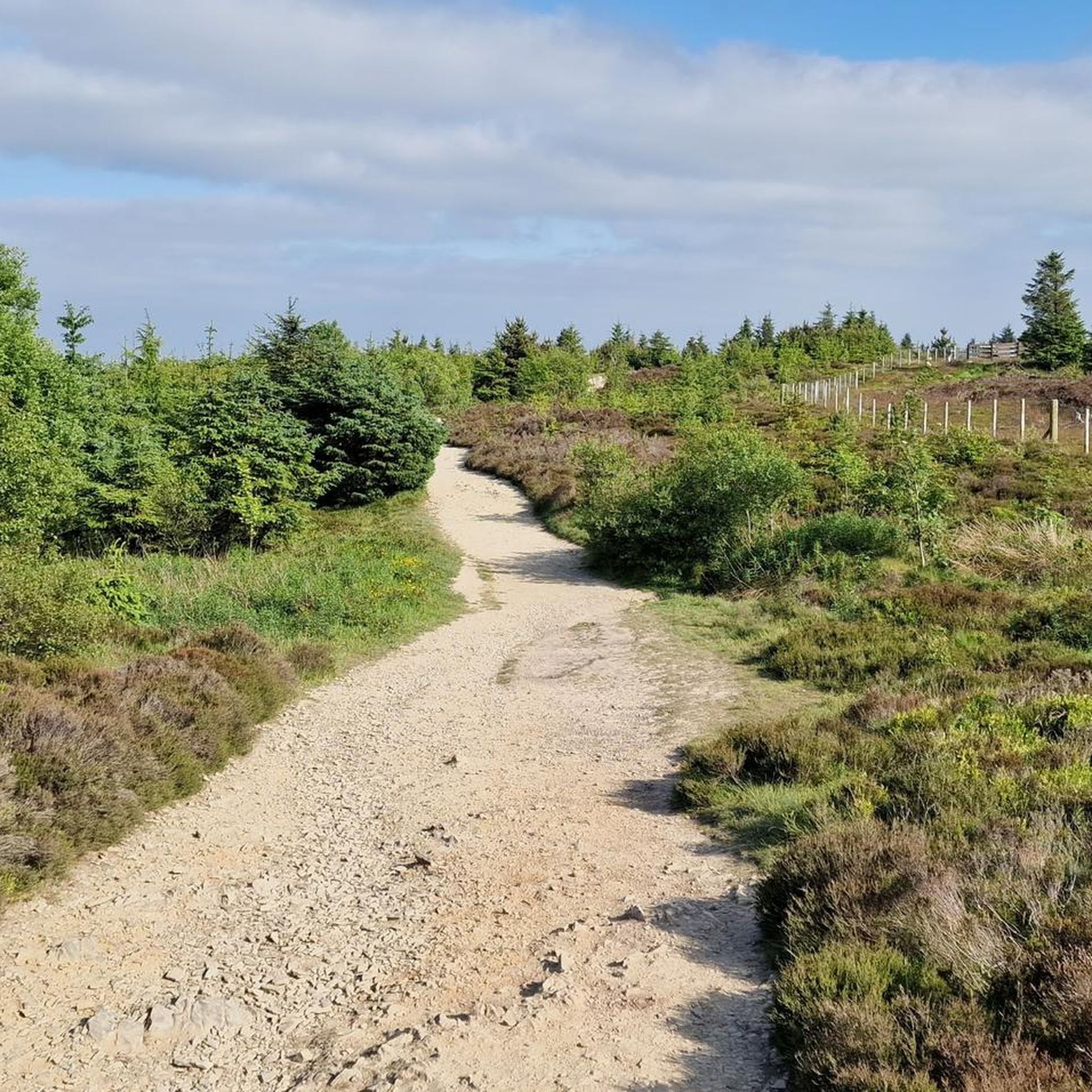
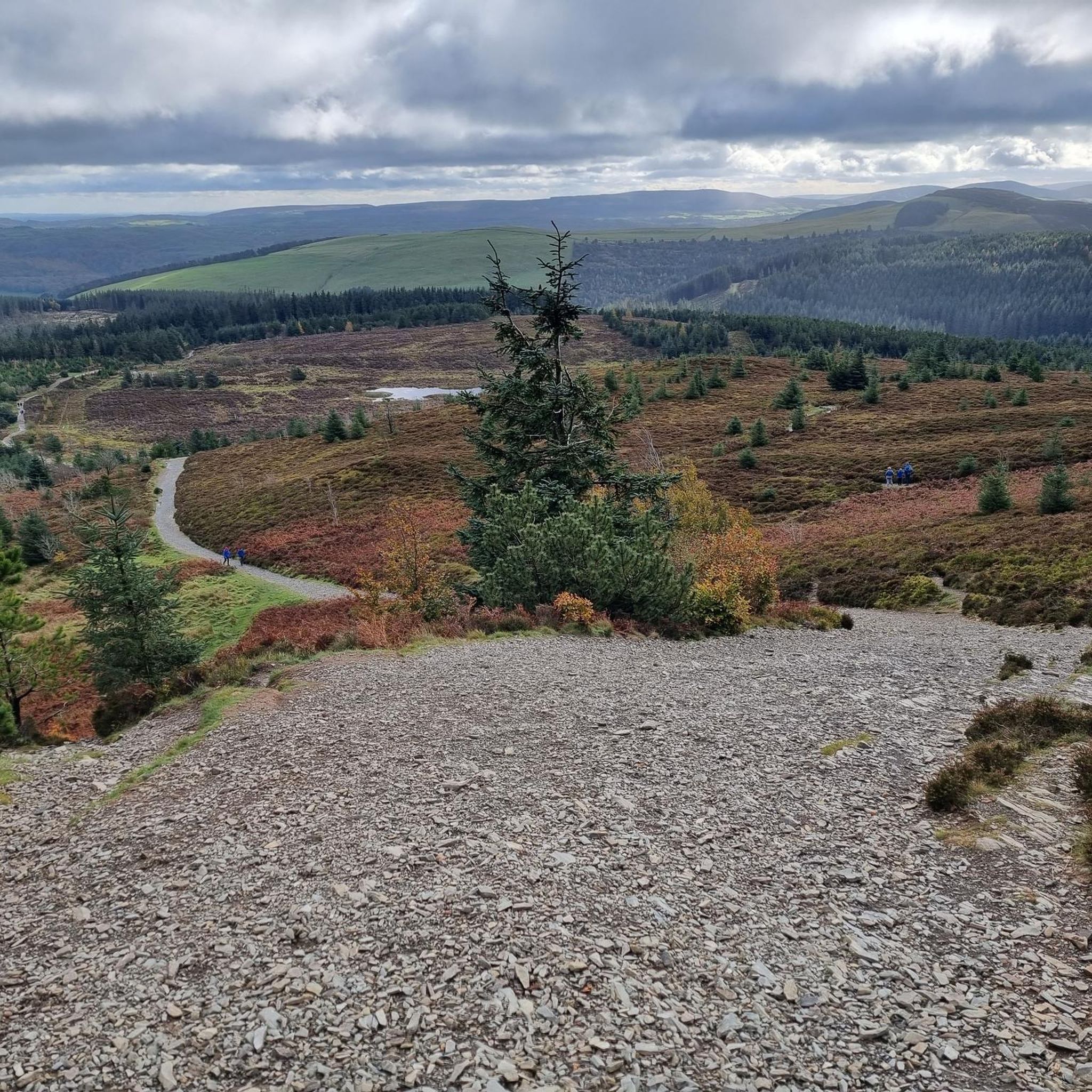
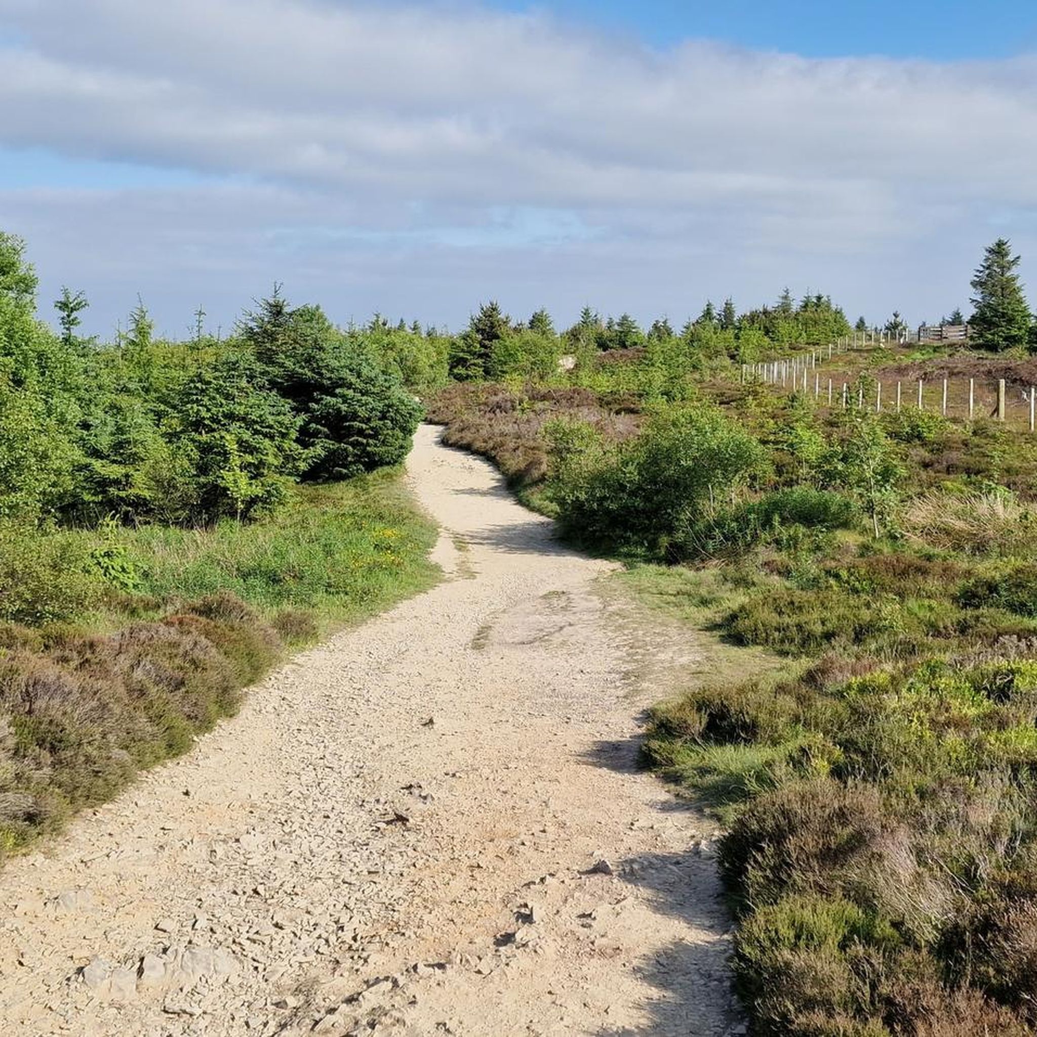
Gravel bike trails Llanferres are situated within the Clwydian Range and Dee Valley National Landscape, offering diverse terrain for cycling. The area features rolling hills, historic hillforts, and varied woodlands, with paths often following the River Alyn. The landscape includes open moorland and rocky trails, providing year-round riding conditions.
Best gravel bike trails around Llanferres
- The most popular gravel bike trail is Ride the Clwyds: Loop de Loop, a 20.5 miles (33.0 km) trail that takes 3 hours 31…
Last updated: September 30, 2026
5.0
(1)
14
riders
33.0km
03:31
840m
840m
Hard gravel ride. Very good fitness required. You may need to push your bike for some segments of this route.
5.0
(1)
7
riders
Hard gravel ride. Very good fitness required. You may need to push your bike for some segments of this route.

78
riders
22.0km
02:00
440m
440m
Moderate gravel ride. Good fitness required. Mostly paved surfaces. Suitable for all skill levels.
4.6
(15)
65
riders
54.7km
03:56
990m
990m
Hard gravel ride. Very good fitness required. Mostly paved surfaces. Suitable for all skill levels.
5.0
(1)
6
riders
12.6km
01:01
300m
300m
Moderate gravel ride. Good fitness required. Mostly paved surfaces. Suitable for all skill levels.
Our route recommendations are based on thousands of hikes, rides, and runs completed by other people on komoot.
Start today with a free account
Your next adventure awaits.
Tips from the Community

tasty food, good spot to start and finish a ride
0
0

On a clear day the views extend as far as the Wirral, Denbigh Moors, and Snowdonia.
0
0


Not all trails in this area permit mountain bikes. Check it first. The rangers over there are zealots.
0
0


Though it was not a tough or technical ride, it did take me into territory I had never visited before and was a lovely antidote to the 'fleshpots' of Gwydir Forest or Coed-y-Brenin. Some lovely gentle singletrack, beautiful views and I didn't see another rider for the whole trip - although tbh I did set off at 08.30 on a Wednesday!!
1
0
Frequently Asked Questions
What kind of terrain can I expect on gravel bike trails near Llanferres?
The gravel bike trails around Llanferres are situated within the Clwydian Range and Dee Valley National Landscape, offering a diverse and engaging experience. You can expect rolling hills, historic hillforts, and varied woodlands. Many paths follow the River Alyn, and the landscape includes open moorland. The trails are often characterized by rocky surfaces, providing good riding conditions year-round, unlike some muddier areas.
How many gravel bike trails are available around Llanferres?
There are 7 gravel bike trails available around Llanferres on komoot. These routes cater to various skill levels, though most are considered difficult, offering significant elevation gain and challenging climbs.
Are there any moderate gravel bike routes suitable for less experienced riders?
Yes, while many routes are challenging, there are a couple of moderate options. For instance, the Big Jim's Black Trail – True Blue Trail loop from Gwynfryn is a 14.4-mile trail through varied forest and open sections. Another moderate choice is the Gravel loop from Clwydian Range and Dee Valley National Landscape, which is shorter at 7.8 miles.
What are some scenic viewpoints or landmarks I can see along the gravel bike trails?
Many trails offer stunning views across the Clwydian Range and Dee Valley. Notable landmarks and viewpoints include the Jubilee Tower on Moel Famau, which offers expansive views towards Snowdonia and the English border. You might also encounter Moel Arthur, another historic hillfort, and the Moel Gyw Summit. The World's End Road and Ford (Eglwyseg Valley) is also a point of interest.
Are there any circular gravel bike routes in the Llanferres area?
Yes, many of the gravel bike routes around Llanferres are designed as loops. For example, the popular Ride the Clwyds: Loop de Loop is a challenging circular route. Another excellent option is The Clwyds loop from Ruthin, offering expansive views and challenging climbs.
What is the best time of year for gravel biking in Llanferres?
Llanferres offers good gravel biking conditions year-round due to its predominantly rocky trails, which are less prone to becoming muddy. However, spring and autumn often provide the most pleasant temperatures and vibrant scenery. Winter riding is possible, but be prepared for colder weather and potentially shorter daylight hours.
Are there any long-distance gravel bike routes available?
Yes, for those seeking a longer challenge, the Llyn Brenig – Llyn Brenig Visitor Centre loop from Ruthin is a significant route, covering approximately 32.9 miles (52.9 km) with considerable elevation gain.
What do other gravel bikers enjoy most about gravel biking in Llanferres?
The area is highly rated by the komoot community, with an average score of 4.9 stars from over 10 reviews. Reviewers often praise the diverse terrain, the challenging climbs, and the stunning panoramic views across the Clwydian Range and Dee Valley National Landscape. The well-maintained trails and the sense of adventure are also frequently highlighted.
Is public transport accessible for reaching gravel bike trails near Llanferres?
While Llanferres itself is a smaller village, the wider Clwydian Range and Dee Valley area has some public transport links. However, for direct access to many trailheads, especially those in more remote sections, personal transport is generally recommended for convenience and flexibility. It's advisable to check local bus routes and schedules if planning to use public transport.
Are there opportunities for wildlife spotting while gravel biking?
Yes, the diverse landscapes of the Clwydian Range and Dee Valley, including woodlands, open moorland, and river valleys, provide habitats for various wildlife. Keep an eye out for local bird species, deer, and other small mammals, especially during quieter times of the day or in less frequented areas of the trails.
Where can I find parking for gravel biking routes in Llanferres?
Parking availability varies by trailhead. Many popular starting points for trails within the Clwydian Range and Dee Valley, such as Loggerheads Country Park or near prominent hillforts, often have designated parking areas. It's recommended to check specific route details on komoot for information on parking at the suggested starting points.
Are there any specific challenges or advanced sections for experienced gravel bikers?
Absolutely. Many routes in the region, such as Ride the Clwyds: Loop de Loop and The Clwyds loop from Ruthin, feature significant elevation gains and technical sections that will challenge experienced riders. The Bwlch Penbarras Climb, while not a full route, is highlighted as an ideal segment for linking with other climbs due to its steep gradients and exhilarating descents.
Most popular routes around Llanferres
Most popular attractions around Llanferres

Get inspired with the komoot mobile app


Explore more
Browse the best Gravel rides in other regions.
