The best gravel rides around La Habra
4.7
(13)
67
riders
11
rides
Gravel biking around La Habra offers a diverse landscape characterized by rolling hills, canyon trails, and urban greenways. Situated in northern Orange County, the region features varied topography with broad mesas, canyons, and valleys, particularly in the Puente and Coyote Hills. These areas provide a network of paths that traverse natural open spaces and developed parklands, connecting communities through varied terrain. The routes often follow flood control channels, former railway lines, or fire roads, with elevation changes generally moderate, though…
Last updated: May 22, 2026
4.8
(5)
26
riders
Hard gravel ride. Very good fitness required. Mostly paved surfaces. Suitable for all skill levels.
9
riders
47.6km
04:40
1,020m
1,020m
Hard gravel ride. Very good fitness required. Mostly paved surfaces. Suitable for all skill levels.

Sign up for free
14
riders
48.6km
03:59
1,010m
1,010m
Hard gravel ride. Very good fitness required. Mostly paved surfaces. Suitable for all skill levels.
4.0
(1)
6
riders
Easy gravel ride. Great for any fitness level. Mostly paved surfaces. Suitable for all skill levels.
5.0
(3)
4
riders
Easy gravel ride. Great for any fitness level. Mostly paved surfaces. Suitable for all skill levels.
Get access to more routes and recommendations from other explorers.
Sign up for free
Already have an account?
Our route recommendations are based on thousands of hikes, rides, and runs completed by other people on komoot.
Start today with a free account
Your next adventure awaits.
Login or Signup


Tips from the Community

This is the intersection of five trails: Raptor Ridge Trail, North Ridge Trail, Bovinian Delight Trail or Telegraph Canyon Road. There are also some boards with information about the trails and a restroom.
0
0

The Brea Dam Trail is a short but scenic path located near the Brea Dam. It connects to other nearby trails, such as the Juanita Cooke Trail and Hiltscher Park Trail, making it easy to extend the ride. The surface is dirt, and the views of the dam area are great. There will be some urban noise and occasional wildlife sightings.
0
0
The Fullerton Golf Course has 18 holes and spans 125 acres.
0
0

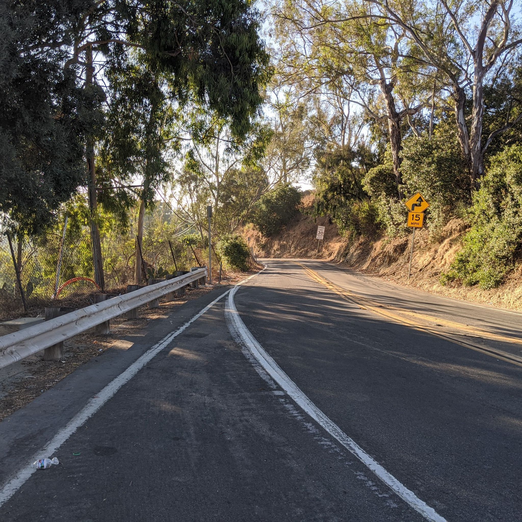
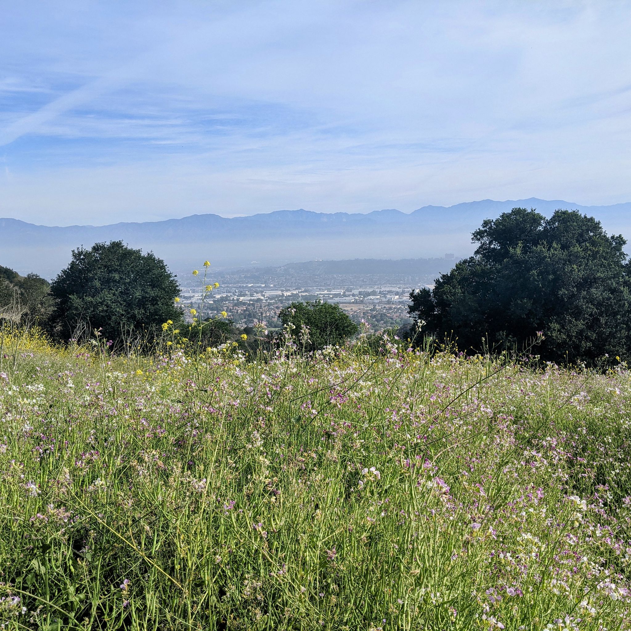
Ride through Turnbull Canyon and be rewarded with stunning views of Los Angeles County and surround yourself with a mix of natural beauty and historical intrigue. The road climbs with an average gradient of 5.2%, gaining 775 feet in elevation and peaking at 1,161 feet. Be cautious of fast-driving vehicles on the winding roads.
1
0
Climb up into the picturesque and rural community of La Habra Heights, known for large properties, many of which allow for agricultural activities such as horse keeping and avocado farming. The area has fantastic views that reach as far as the ocean, and on a clear day, Catalina Island is visible.
1
0

be cautious, lots of young fast and furious wannabe racers out on the canyon at all hours of the day. listen to your surroundings. be safe
0
0

As you bike near Turnbull Debris Basin, observe its crucial function in storing runoff and sediment, acting as a safeguard against downstream flooding and sedimentation, and protecting human life and property. Positioned along the canyon road en route to the Turnbull Canyon Trailhead, it plays a vital role in mitigating flood risks downstream, ensuring community safety.
0
0
Frequently Asked Questions
How many gravel bike trails are available around La Habra?
There are 15 gravel bike trails documented around La Habra on komoot, offering a variety of experiences from easy to difficult. This includes 3 easy, 5 moderate, and 7 difficult routes.
Are there any easy gravel bike trails suitable for beginners in La Habra?
Yes, La Habra offers several easy gravel bike trails perfect for beginners. One such route is the Fullerton Loop Trail – Brea Dam loop from Fullerton, which is 10.4 miles (16.8 km) long and features a mix of paved and unpaved sections.
What are the typical distances and durations for gravel biking routes in La Habra?
Gravel biking routes in La Habra vary significantly in distance and duration. You can find shorter rides like the Fullerton Loop Trail – Brea Dam loop from Fullerton at 10.4 miles (16.8 km) taking about 1 hour 25 minutes, to longer, more challenging routes such as the View of Yorba Linda – Four Corners loop from Carbon Canyon Regional Park, which is 29.6 miles (47.6 km) and can take over 5 hours.
Are there any family-friendly gravel bike trails in the La Habra area?
For families, routes with less elevation gain and smoother surfaces are ideal. The region's urban greenways and sections around Brea Dam, such as parts of the Fullerton Loop Trail – Brea Dam loop from Fullerton, often provide suitable terrain for a family outing. Always check the route details for specific difficulty and terrain information.
Where can I find parking for gravel bike trails in La Habra?
Many gravel bike routes in La Habra start near parks or trailheads that offer parking. For example, routes like the View of Yorba Linda – Four Corners loop from Carbon Canyon Regional Park often begin from areas with designated parking facilities, such as Carbon Canyon Regional Park. It's always recommended to check the specific tour details on komoot for parking information at the starting point.
What kind of scenic viewpoints or natural attractions can I expect along the gravel bike trails?
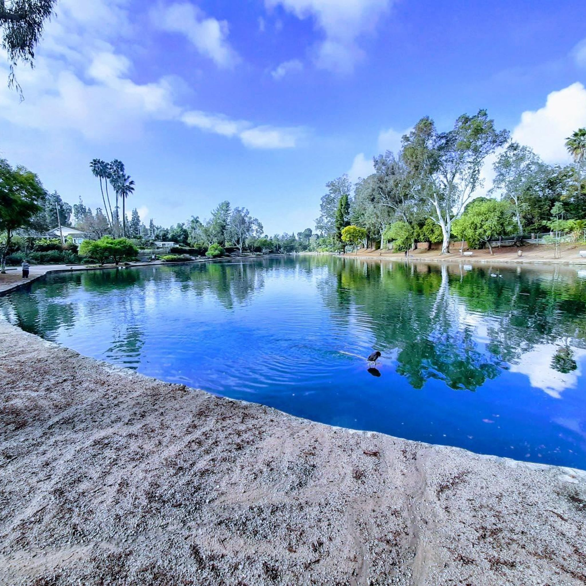
The gravel bike trails around La Habra offer diverse scenery, including rolling hills, canyon views, and urban greenways. You might encounter natural attractions like Turnbull Canyon, the Brea Dam area, and sections of Carbon Canyon Regional Park. Some routes also pass by lakes such as Tri City Park Lake.
Are there any loop gravel bike trails in La Habra?
Yes, many gravel bike trails in La Habra are designed as loops, allowing you to start and end at the same point. Examples include the Four Corners – Telegraph Canyon Trail loop from Country Hills and the Turnbull Debris Basin – Turnbull Canyon loop from La Serna High School.
What do other gravel bikers enjoy most about gravel biking in La Habra?
The gravel biking experience in La Habra is highly rated by the komoot community, with an average score of 4.8 stars. Reviewers often praise the diverse terrain, which includes canyon trails, urban greenways, and reservoir paths, offering options for various skill levels and scenic views.
Are there any advanced or difficult gravel bike routes in La Habra?
Absolutely. For experienced gravel bikers seeking a challenge, La Habra offers several difficult routes. The Four Corners – Telegraph Canyon Trail loop from Country Hills, at 18.1 miles (29.2 km) with significant elevation changes, is a popular choice. Another challenging option is the Turnbull Debris Basin – Turnbull Canyon loop from La Serna High School, which is 48.6 km long.
What is the best time of year for gravel biking in La Habra?
La Habra generally enjoys a mild climate, making gravel biking enjoyable for much of the year. Spring and fall offer pleasant temperatures, while winter can also be suitable with cooler, often clear weather. Summers can be hot, so early morning or late afternoon rides are recommended during those months.
Are there any routes that pass by cafes or places to stop for refreshments?
While specific cafes directly on remote trail sections might be limited, many routes in La Habra pass through or near urban areas and park entrances where cafes and shops are accessible. For example, routes that traverse urban greenways or start from towns like Fullerton or Brea often have amenities nearby. It's advisable to check the map for points of interest along your chosen route.
What should I wear for gravel biking in La Habra?
Given the varied terrain and potential for moderate to significant climbs, layered clothing is recommended. Moisture-wicking fabrics are ideal. Depending on the season, consider sun protection (hat, sunscreen) for warmer months and wind/rain protection for cooler or unpredictable weather. Always wear a helmet and appropriate cycling shoes.
Are there any hidden gem gravel bike trails near La Habra that are less known?
While the main routes are well-loved, exploring the network of fire roads and less-traveled paths within areas like Ralph B. Clark Regional Park or the lesser-known sections of the canyon trails can reveal quieter, more secluded gravel biking experiences. The Fullerton Golf Course – Brea Dam loop from Hamer offers a moderate option that might be less frequented than the most popular trails.
Most popular attractions around La Habra

Get inspired with the komoot mobile app


Explore more
Browse the best Gravel rides in other regions.
