The best walks and hikes around Monestier-Merlines
4.5
(2)
32
hikers
1
hike
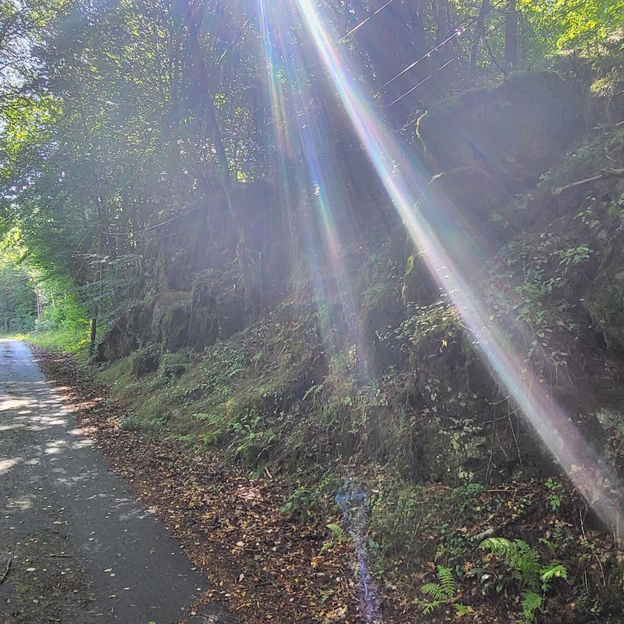
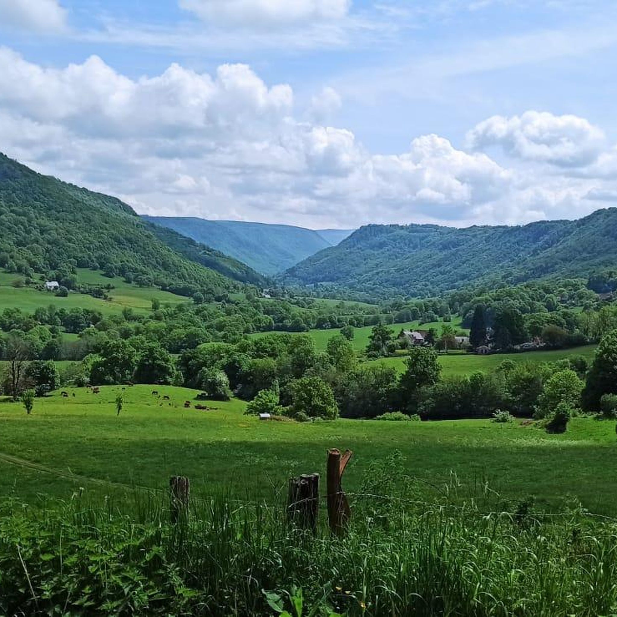
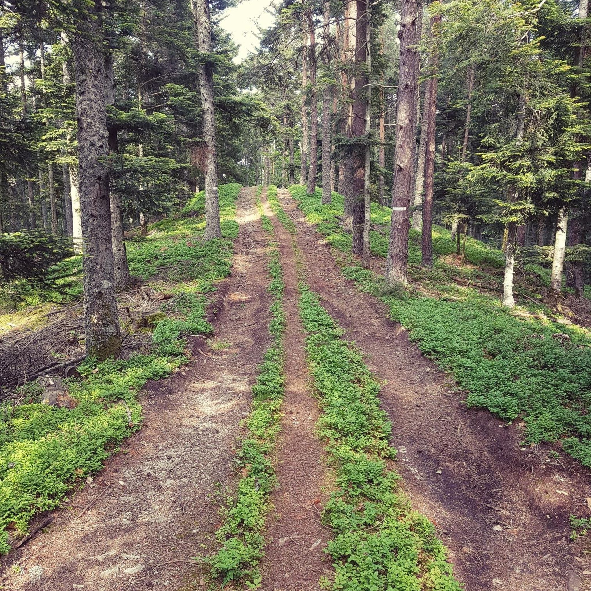
Hiking around Monestier-Merlines offers access to diverse landscapes within the French Massif Central, situated on the Millevaches plateau in the Corrèze department. The region features a verdant setting of forests and pastures, often at altitudes over 700 meters, providing panoramic views. Topography includes river valleys like the Clidane, Sioulet, and Chavanon, as well as basalt plateaus. The varied terrain, with elevations ranging from 614 to 774 meters, contributes to diverse hiking challenges.
Best hiking trails around Monestier-Merlines
- The most popular…
Last updated: October 4, 2026
4.5
(2)
19
hikers
9.82km
02:47
220m
220m
Moderate hike. Good fitness required. Easily-accessible paths. Suitable for all skill levels.
3
hikers
6.91km
02:00
180m
180m
Easy hike. Great for any fitness level. Easily-accessible paths. Suitable for all skill levels.

5
hikers
21.8km
06:01
380m
380m
Hard hike. Very good fitness required. Easily-accessible paths. Suitable for all skill levels.
Our route recommendations are based on thousands of hikes, rides, and runs completed by other people on komoot.
Start today with a free account
Your next adventure awaits.

Tips from the Community

Beautiful free exhibition of marquetry paintings. Surprising and magnificent place.
0
0
Frequently Asked Questions
How many hiking trails are available around Monestier-Merlines?
There are over 8 hiking routes available around Monestier-Merlines on komoot, offering a range of experiences from easy walks to more moderate excursions through the region's diverse landscapes.
What kind of terrain can I expect on hikes in Monestier-Merlines?
Hikes in Monestier-Merlines traverse a varied landscape, including verdant forests, open pastures, and river valleys like the Clidane and Sioulet. You'll also find basalt plateaus, offering panoramic views, and some routes explore gorges such as those of the Chavanon and the Haute Vallée de la Dordogne.
Are there easy hiking options suitable for beginners or casual walkers?
Yes, Monestier-Merlines offers easy hiking options. For example, the Hiking loop from Refuge des Agriers is an easy 3.7-mile (5.9 km) trail through wooded areas, typically completed in about 1 hour 38 minutes. The region also features the easy 8-kilometer Lake Circuit, ideal for appreciating natural beauty and birdwatching.
Are there any family-friendly hiking trails in Monestier-Merlines?
Yes, several trails are suitable for families. The Lake Circuit, an easy 8-kilometer hike, is perfect for family outings with picnic areas and opportunities for birdwatching. The Hiking loop from Refuge des Agriers is also an easy option for a shorter family walk.
What are some notable natural features or viewpoints I can discover on hikes?
The region is rich in natural features and viewpoints. You can find stunning river valleys like the Clidane, offering views of the Sancy massif, and the wild Gorges of the Chavanon and Haute Vallée de la Dordogne. The Butte du Puy Saint-Gulmier provides extensive panoramic views of the Sancy and Chaîne des Puys, while the area around Lac Pavin offers enchanting natural settings.
Are there any circular hiking routes available?
Yes, many of the routes around Monestier-Merlines are circular. Examples include the popular Étang de l'Abeille loop from Eygurande, a 10.2-mile (16.5 km) moderate trail, and the Hiking loop from Lamazière-Haute, which is 6.8 miles (10.9 km). The Hiking loop from Refuge des Agriers is also a shorter circular option.
What is the best time of year to go hiking in Monestier-Merlines?
Monestier-Merlines is best enjoyed for hiking during the warmer months, typically from spring through autumn, when the forests and pastures are verdant. The region's altitude means pleasant temperatures for outdoor activities, and the natural beauty is at its peak. Winter hiking might be possible but could involve snow and colder conditions, especially at higher elevations.
Is it possible to find accommodation or places to eat near the hiking trails?
Monestier-Merlines and its surrounding communes offer various options for accommodation and dining. While specific establishments near trailheads are not listed, the tranquil rural character of the area suggests that local villages will have guesthouses, cafes, and pubs catering to visitors and hikers.
What do other hikers enjoy most about hiking in Monestier-Merlines?
Hikers often appreciate the diverse landscapes, from the extensive forests and pastures to the scenic river valleys and basalt plateaus that offer panoramic views. The variety of routes, suitable for different ability levels, is also a highlight, allowing many to explore the natural beauty of the Millevaches plateau.
Are there any longer, more challenging hikes for experienced trekkers?
While the komoot guide primarily features moderate routes, the broader region offers more challenging excursions. For experienced hikers, the trail to the summit of Puy Mary, at over 1,700 meters, provides an exceptional panorama. Additionally, an extensive 9-day, 200-kilometer itinerary through the Haute Vallée de la Dordogne promises a unique journey through wild and preserved nature.
Are there any specific trails that offer views of the Sancy massif?
Yes, several areas provide views of the Sancy massif. The Vallée de la Clidane features pleasant forest walks with views of the Sancy. Additionally, the route up the Butte du Puy Saint-Gulmier offers extensive panoramic views that include the Sancy massif and the Chaîne des Puys.

Get inspired with the komoot mobile app


Explore more
Browse the best Hikes in other regions.
