The best running trails around Frain
4.7
(8)
208
runners
16
runs
Jogging around Frain offers opportunities to explore the rural landscape of this commune in the Vosges department. The region is characterized by gentle hills, with elevations ranging from 289 to 421 meters. Running routes often follow local paths and country roads, providing varied terrain for different fitness levels. The area provides a quiet, natural setting for outdoor activity.
Best jogging routes around Frain
- The most popular jogging route is Running loop from Monthureux-sur-Saône, a 5.2 miles (8.4 km) trail…
Last updated: July 26, 2026
4.0
(1)
4
runners
8.41km
00:55
140m
140m
Moderate run. Good fitness required. Mostly paved surfaces. Suitable for all skill levels.
5.0
(2)
4
runners
10.7km
01:19
160m
160m
Moderate run. Good fitness required. Mostly paved surfaces. Suitable for all skill levels.

Sign up for free
4
runners
7.16km
00:48
130m
130m
Moderate run. Good fitness required. Mostly paved surfaces. Suitable for all skill levels.
4.0
(1)
3
runners
8.85km
00:57
150m
150m
Moderate run. Good fitness required. Mostly paved surfaces. Suitable for all skill levels.
3
runners
12.6km
01:19
110m
110m
Moderate run. Good fitness required. Mostly paved surfaces. Suitable for all skill levels.
Get access to more routes and recommendations from other explorers.
Sign up for free
Already have an account?
Our route recommendations are based on thousands of hikes, rides, and runs completed by other people on komoot.
Start today with a free account
Your next adventure awaits.
Login or Signup


Frequently Asked Questions
How many running routes are available around Frain?
There are several running routes around Frain, with a total of 8 tours documented on komoot. These routes offer a variety of options for exploring the local countryside.
What kind of terrain can I expect on the jogging trails in Frain?
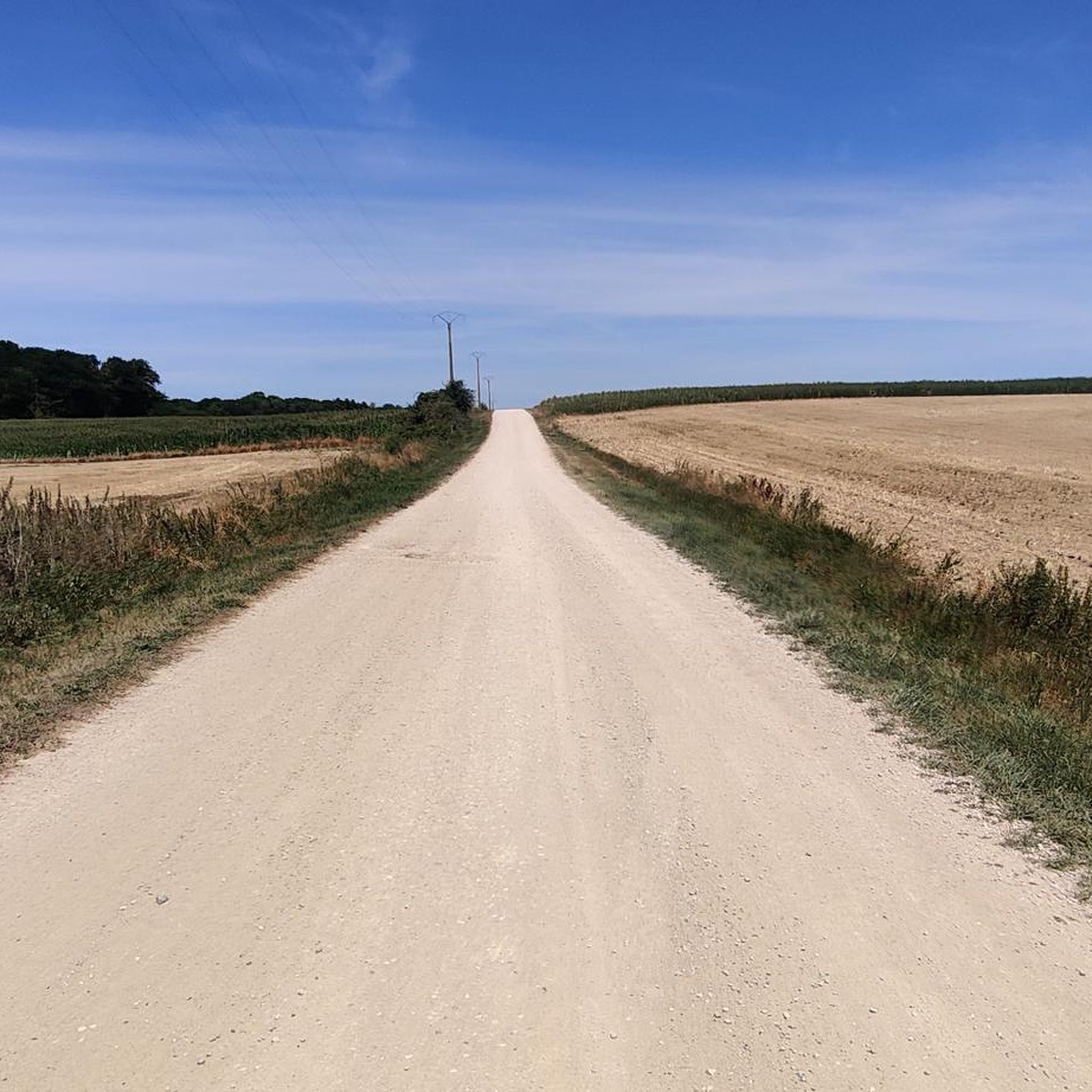
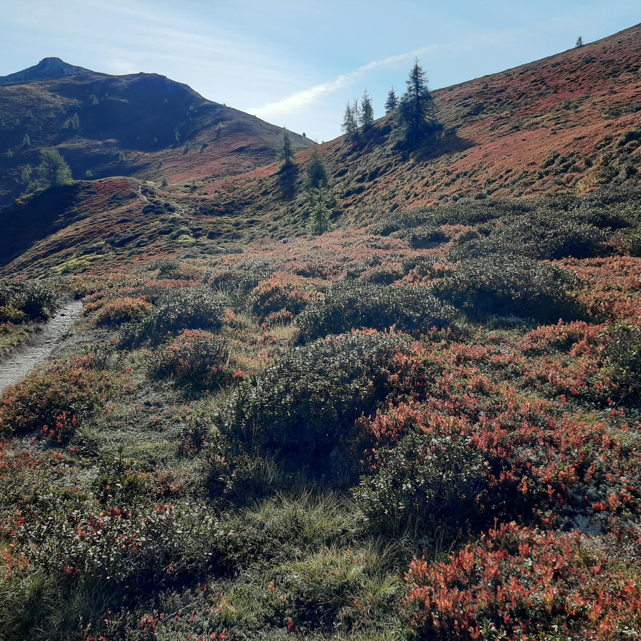
The jogging trails in Frain are characterized by rural paths and country roads, featuring gentle hills. Elevations typically range from 289 to 421 meters, providing varied terrain suitable for different fitness levels.
Are there any easy running routes for beginners in Frain?
Yes, there is one easy running route available in Frain. The majority of the routes, however, are classified as moderate, offering a good workout for those with some running experience.
What do other runners say about the jogging experience in Frain?
The running routes in Frain are highly rated by the komoot community, with an average score of 4.75 stars from over 5 reviews. Runners often praise the quiet, natural setting and the varied terrain for outdoor activity.
Can you recommend a moderate running loop in the Frain area?
Certainly. A popular moderate option is the Running loop from Isches. This 5.6-mile (9.0 km) path features varied terrain and is suitable for a good workout.
Are there any interesting landmarks or attractions near the running routes in Frain?
While Frain itself is a small commune, there are a few points of interest in the broader area. You might consider visiting the Thermes de Contrexéville or exploring the Ancient Roman Road. There's also the Notre-Dame d'Aureil-Maison chapel nearby.
Are there any running routes that start from nearby villages?
Yes, many routes originate from surrounding areas. For example, you can try the Running loop from Godoncourt, which is a 5.7-mile (9.2 km) trail leading through rural landscapes.
What is the typical duration for a running trail in Frain?
The running trails in Frain vary in length and duration. For instance, the Running loop from Monthureux-sur-Saône, which is 5.2 miles (8.4 km), typically takes about 54 minutes to complete.
Is Frain a good destination for a quiet, natural running experience?
Yes, Frain is known for its quiet, natural setting. The region's rural paths and gentle hills provide a peaceful environment, making it ideal for those seeking a tranquil outdoor activity away from urban hustle.
Are there any shorter running loops available in the Frain region?
For a slightly shorter option, you could consider the Running loop from Martigny-les-Bains. This route covers approximately 3.8 miles (6.1 km) and offers a moderate challenge.
What is the general elevation range for running in Frain?
The Frain region features gentle hills with elevations ranging from 289 to 421 meters. This provides a varied but generally manageable elevation profile for most runners.
Most popular attractions around Frain

Get inspired with the komoot mobile app


Explore more
Browse the best Running Trails & Routes in other regions.
