The best walks and hikes around Mailleroncourt-Charette
4.6
(10)
27
hikers
6
hikes
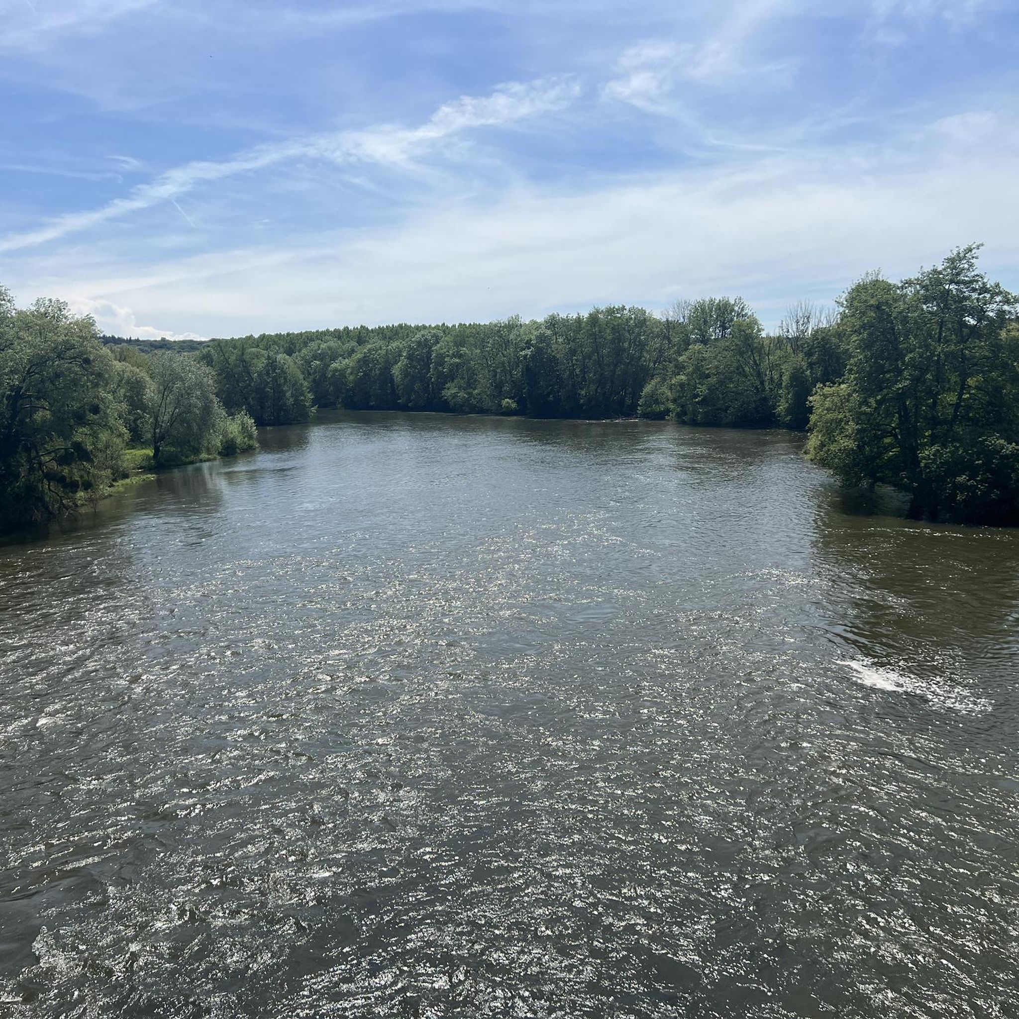
Hiking around Mailleroncourt-Charette offers exploration within the Burgundy-Franche-Comté region, characterized by its tranquil river valley setting. The area features a mix of shaded woods, meadows, and pastures, with the Durgeon river flowing through the commune. Notable landscapes include the Parc à l'anglaise de la Cude, a 5-hectare garden with diverse flora, and marked trails winding through local forests.
Best hiking trails in Mailleroncourt-Charette
- The most popular hiking route is Grotte-mine des Équevillons loop from Montcey, a 5.1 miles (8.2 km) trail that takes 2 hours 17 minutes to complete, featuring varied terrain and elevation changes.
- Another top favourite among local hikers is The Madonna of Saint-Barthélémy loop from Dampvalley-lès-Colombe, a moderate 4.4 miles (7.1 km) path. This route offers views of the surrounding countryside and takes approximately 2 hours 2 minutes.
- Local hikers also love the Lavoir de Citers loop from Ailloncourt, a 5.1 miles (8.3 km) trail leading through rural landscapes and past historical features, often completed in about 2 hours 13 minutes.
- Hiking around Mailleroncourt-Charette is defined by river valleys, shaded woods, and open meadows. The network offers options for easy, moderate, and difficult ability levels.
- The routes in Mailleroncourt-Charette are highly rated by the komoot community with an average score of 4.6 stars from over 5 reviews. More than 20 hikers have used komoot to explore Mailleroncourt-Charette's varied terrain.
Last updated: November 12, 2026
4.5
(2)
4
hikers
8.23km
02:17
150m
150m
Moderate hike. Good fitness required. Easily walkable paths.
4.8
(8)
14
hikers
6.78km
01:57
150m
150m
Easy hike. Easily walkable paths.

5
hikers
8.28km
02:13
100m
100m
Moderate hike. Good fitness required. Easily walkable paths.
3
hikers
10.3km
02:44
100m
100m
Moderate hike. Good fitness required. Easily walkable paths.
5
hikers
20.2km
05:33
330m
330m
Hard hike. Very good fitness required. Easily walkable paths.
Our route recommendations are based on thousands of hikes, rides, and runs completed by other people on komoot.
Start today with a free account
Your next adventure awaits.



Tips from the Community

The very charming covered wash house of Citers turns out to be ideal for cooling off, resting in the shade, bivouacking or even protecting yourself from the rain.
2
0
Frequently Asked Questions
How many hiking trails are available around Mailleroncourt-Charette?
There are over 5 hiking trails available around Mailleroncourt-Charette, offering a variety of experiences through the region's tranquil river valleys, shaded woods, and open meadows. These routes are highly rated by the komoot community.
What kind of landscapes can I expect to see on hikes near Mailleroncourt-Charette?
Hikes around Mailleroncourt-Charette feature a diverse natural environment. You'll encounter tranquil river valleys, particularly along the Durgeon river, shaded woods, and expansive meadows and pastures. The area also boasts the unique Parc à l'anglaise de la Cude, an English-style garden with nearly 2000 trees and shrubs.
Are there hiking trails suitable for beginners or those looking for an easy walk?
Yes, Mailleroncourt-Charette offers easy hiking options. For instance, the Château de Pusy loop from Pusy-et-Épenoux is an easy 6.9 km trail, perfect for a relaxed outing through rural landscapes.
Can I hike within the Parc à l'anglaise de la Cude?
Yes, the Parc à l'anglaise de la Cude is a significant attraction in Mailleroncourt-Charette, offering a unique experience. It features a variety of landscapes from forest to clearing and orchard. A notable feature is its 800-meter barefoot trail, designed to awaken the senses, making it particularly appealing for families. You can find more details about the park on the Haute-Saône Tourisme website: Parc à l'anglaise de la Cude.
Are there any circular walks available in Mailleroncourt-Charette?
Many of the trails in the Mailleroncourt-Charette area are circular, allowing you to start and end at the same point. An example is the Grotte-mine des Équevillons loop from Montcey, a moderate 8.2 km route that takes about 2 hours 17 minutes to complete.
What do other hikers enjoy the most about hiking in Mailleroncourt-Charette?
The hiking trails around Mailleroncourt-Charette are highly rated by the komoot community, with an average score of 4.6 stars. Hikers often praise the varied terrain, from shaded woods to open meadows, and the tranquil atmosphere of the river valleys. The well-marked paths and the opportunity to discover local landmarks are also frequently highlighted.
Are there any historical or cultural points of interest along the hiking trails?
Yes, hiking trails in the region often pass by interesting historical and cultural elements. You might encounter landmarks like a 1850s square fountain, the Durgeon river, and even an ancient castle tower visible on routes towards Vilory. The Saint-Léger chapel, dating back to the 7th century and associated with a spring believed to cure eye ailments, is also located outside the village.
Is Mailleroncourt-Charette suitable for family-friendly hikes?
Absolutely. The region offers several easy trails suitable for families. The Parc à l'anglaise de la Cude, with its unique barefoot trail, is particularly appealing for children and families looking for an engaging outdoor experience. The mix of meadows and shaded woods provides pleasant walking conditions for all ages.
What is the best time of year to go hiking in Mailleroncourt-Charette?
The best time to hike in Mailleroncourt-Charette is generally during spring, summer, and early autumn. Spring brings blooming flora, while summer offers warm weather for exploring the shaded woods. Autumn provides beautiful foliage. The Parc à l'anglaise de la Cude, in particular, offers ever-changing flora throughout the seasons.
Are there any moderate difficulty hikes in the area?
Yes, there are several moderate hikes available. For example, the Madonna of Saint-Barthélémy loop from Dampvalley-lès-Colombe is a moderate 7.1 km path offering views of the surrounding countryside, typically completed in about 2 hours.
Where can I find parking for hiking trails in Mailleroncourt-Charette?
While specific parking locations for individual trails are not detailed, Mailleroncourt-Charette is a small commune, and parking is generally available within the village or at trailheads. It's advisable to check local signage upon arrival or consult detailed route descriptions on komoot for specific starting points.
Are there any longer or more challenging day hikes near Mailleroncourt-Charette?
While Mailleroncourt-Charette itself offers mostly easy to moderate trails, its location in Haute-Saône places it within reasonable distance of larger natural sites for more challenging day trips. For instance, the Ballon d'Alsace and the Cascade de la Pissoire are about 45-51 km away and could serve as destinations for hikers seeking more strenuous terrain.
Most popular routes around Mailleroncourt-Charette

Get inspired with the komoot mobile app


Explore more
Browse the best Hikes in other regions.
