The best mountain hikes around Malmerspach
5.0
(3)
19
hikers
9
hikes
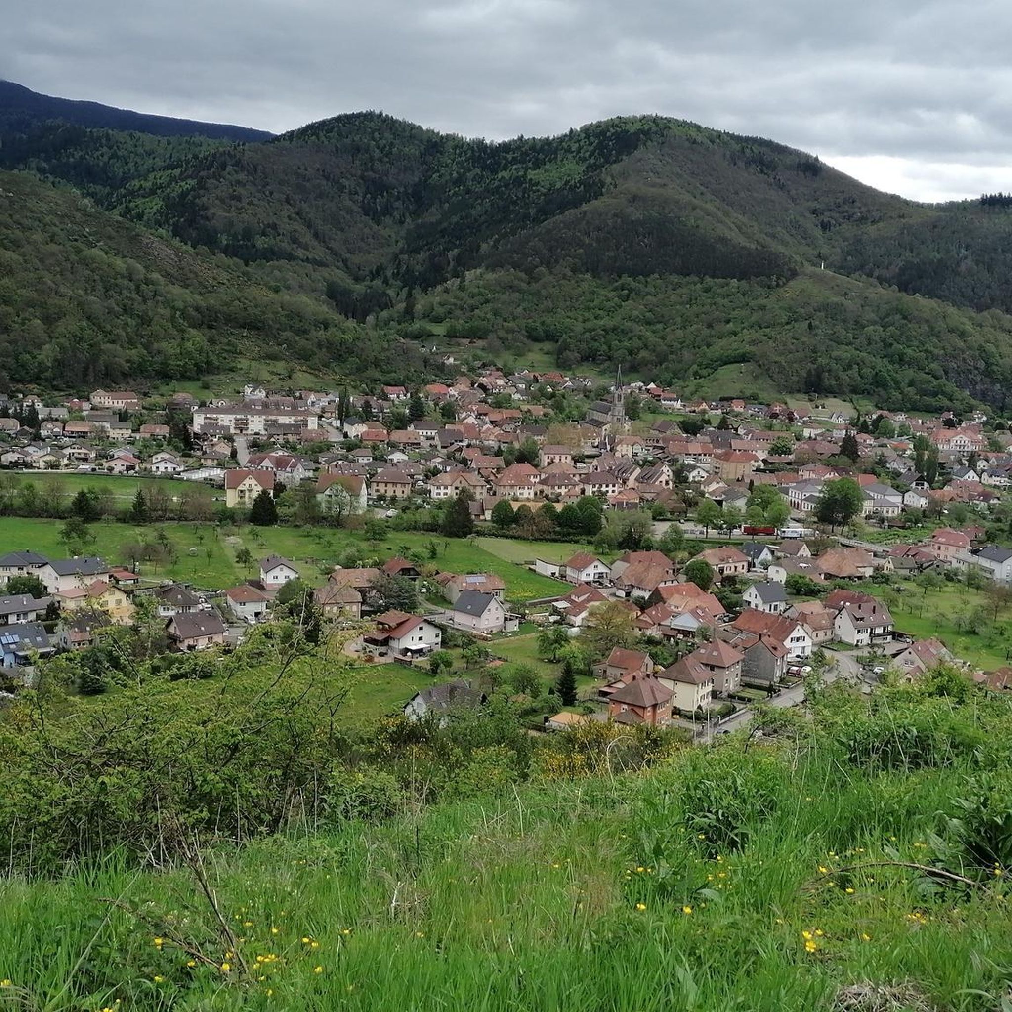
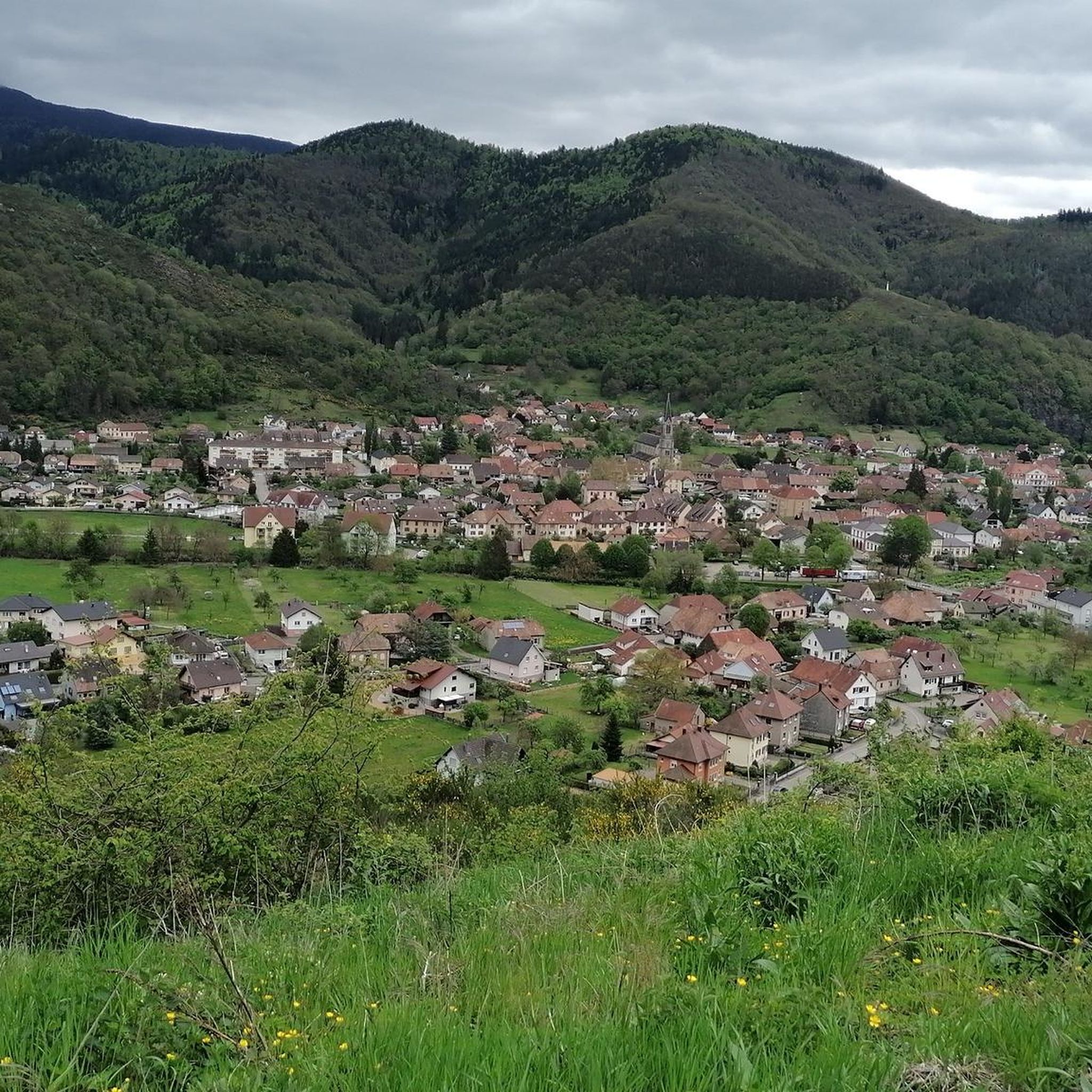
Mountaineering routes Malmerspach are situated in the Vosges Mountains of northeastern France, offering diverse landscapes and challenging terrain. The region features prominent peaks like the Grand Ballon (1,424 meters) and the Hohneck (1,363 meters), providing significant elevation gains and panoramic views. Granite and sandstone cliffs offer varied rock climbing opportunities, while dense forests and picturesque valleys characterize the approaches to higher peaks.
Best mountaineering routes around Malmerspach
- The most popular mountaineering route is Grand Ballon – Panoramic view from the…
Last updated: October 1, 2026
5.0
(2)
6
hikers
Moderate mountaineering route. Great for any fitness level. Mostly accessible paths. Sure-footedness required.
4
hikers
15.5km
04:57
640m
640m
Moderate mountaineering route. Good fitness required. Easily-accessible paths. Suitable for all skill levels.

3
hikers
13.9km
04:10
430m
430m
Moderate mountaineering route. Good fitness required. Easily-accessible paths. Suitable for all skill levels.
5.0
(1)
2
hikers
Moderate mountaineering route. Great for any fitness level. Mostly accessible paths. Sure-footedness required.
4
hikers
26.8km
08:45
1,200m
1,200m
Hard mountaineering route. Very good fitness required. Easily-accessible paths. Suitable for all skill levels.
Get access to more routes and recommendations from other explorers.
Already have an account?
Our route recommendations are based on thousands of hikes, rides, and runs completed by other people on komoot.
Start today with a free account
Your next adventure awaits.

Tips from the Community

The Col du Hunsrück (748 m) is a quiet and wooded pass above Willer-sur-Thur. The steady climb and beautiful nature make this a pleasant classic in the southern Vosges, with connections to both the Thur and Dollervallei valleys.
3
0
Le Markstein (1184 m) is meer dan alleen een kruispunt op de Route des Crêtes. Het is echter een echte bergpas en het hoogste punt van de oversteek tussen het Lauch- en Thurdal. Het ligt in het hart van het Vogezenmassief, midden een populair wintersportgebied dat nauw verbonden is met de Grand Ballon
3
0
De Col van Hahnenbrunnen ligt op een open bergzadel in de Hoge Vogezen, tussen de Markstein‑kam en de Breitfirst. De pas bevindt zich rond 1180 meter hoogte en vormt een overgang tussen de bergweiden (chaumes) van de Route des Crêtes en de beboste hellingen die afdalen naar het dal van de Lauch. Het gebied is genoemd naar oude bergboerderijen (fermes d’altitude) die hier eeuwenlang vee hielden op de hooggelegen weiden.
3
0

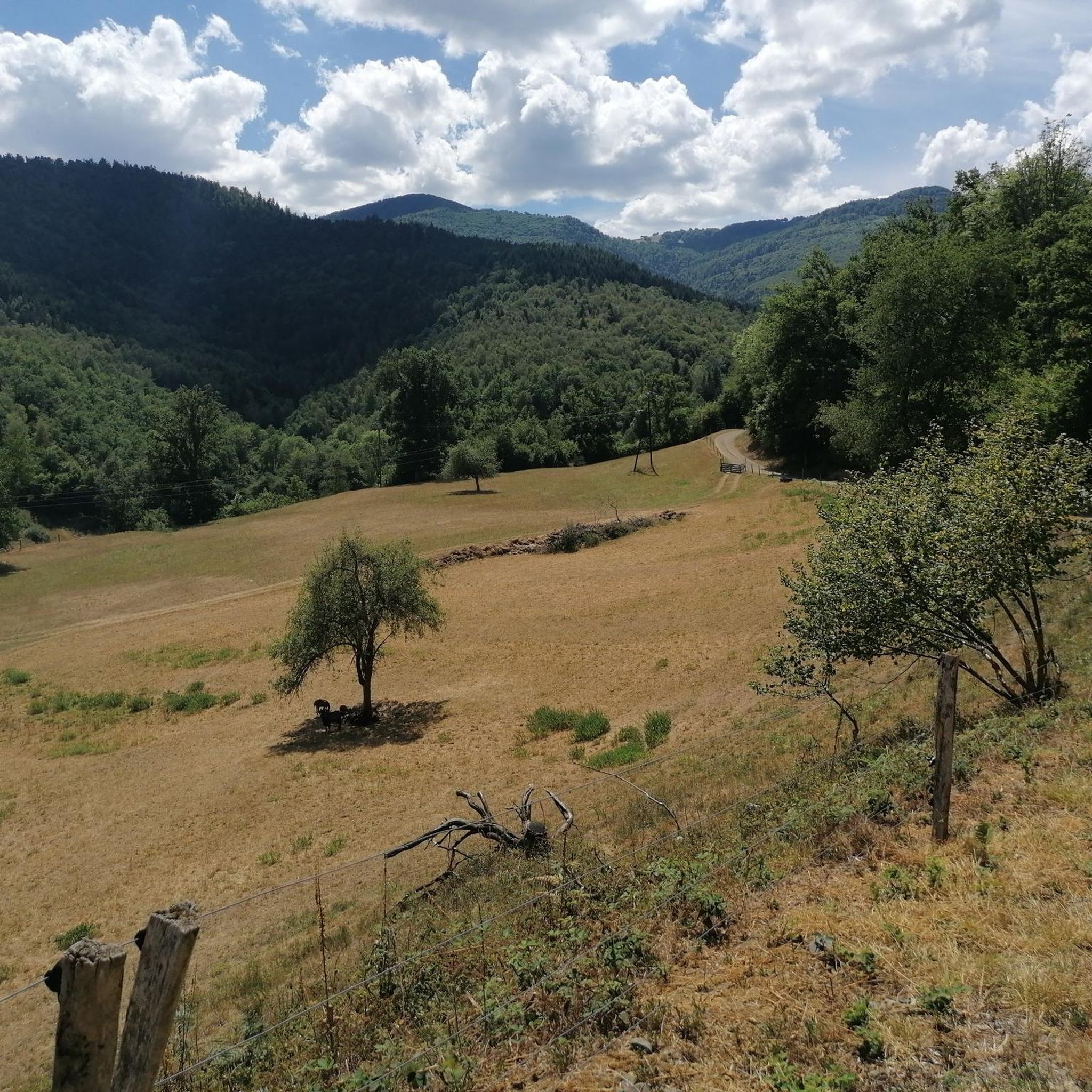
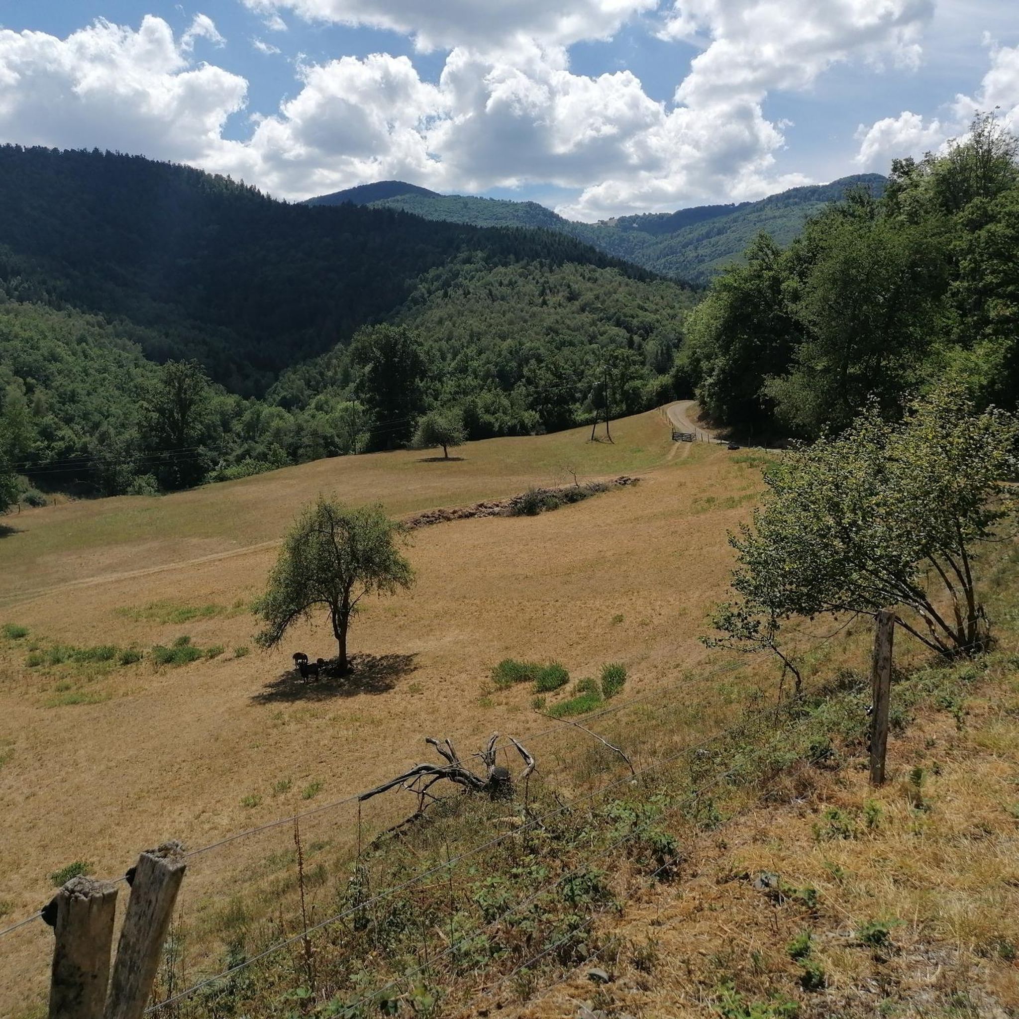
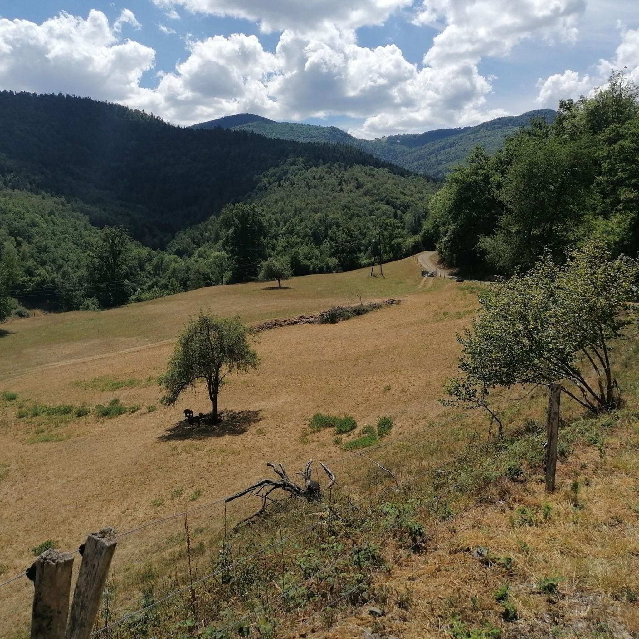
There is a very nice view over the Sondernach Valley.
0
0

This is an amazing wild camping spot. I am sorry it didn't work for my trail but it is almost worth doing ti again just to sleep here...
0
0

The refuge volunteers are very warm. It is possible to eat your packed lunch provided you consume the drinks on sale. Their price is low. In addition, the view is magnificent.
0
0
Frequently Asked Questions
What types of mountaineering routes can I find around Malmerspach?
Malmerspach, situated in the Vosges Mountains, offers a variety of mountaineering routes. You'll find everything from moderate ascents, like the Hundsruck Pass – Panoramic view loop from Bourbach-le-Haut, to more challenging climbs with significant elevation gains, such as the difficult Hundsruck Pass – Vogelstein (Bird Rock) loop from Willer-sur-Thur. The region features high peaks like the Grand Ballon and Hohneck, extensive forest trails, and challenging rock formations.
Are there any beginner-friendly mountaineering routes in the Malmerspach area?
Yes, there are several moderate routes suitable for those new to mountaineering or looking for a less strenuous experience. For instance, the Grand Ballon – Panoramic view from the Grand Ballon summit loop from Grand Ballon is a shorter, moderate trail offering great views from the highest peak in the Vosges. Another option is the Grand Ballon – Panoramic view from the Grand Ballon summit loop from Col du Grand Ballon, which is also moderate and relatively short.
What are the most challenging mountaineering routes near Malmerspach?
For experienced mountaineers seeking a challenge, the Malmerspach area offers difficult routes with substantial elevation gain. The Hundsruck Pass – Vogelstein (Bird Rock) loop from Willer-sur-Thur is a demanding trail covering over 26 km with more than 1200 meters of elevation gain, taking around 8 hours and 44 minutes to complete. The region's granite and sandstone cliffs also provide diverse rock climbing opportunities for various skill levels.
Can I find circular mountaineering routes around Malmerspach?
Absolutely. Many of the mountaineering routes in the Malmerspach area are designed as loops, allowing you to start and end at the same point. Examples include the Hundsruck Pass – Panoramic view loop from Bourbach-le-Haut, the Markstein – Lake Lauch loop from Le Markstein, and the challenging Hundsruck Pass – Vogelstein (Bird Rock) loop from Willer-sur-Thur.
What natural attractions or landmarks can I see along the mountaineering routes?
The routes around Malmerspach offer access to numerous natural features. You can discover several beautiful waterfalls, such as the Siehlbaechle Waterfall, Bubalafels Waterfall, and Lauch Falls. The region is also home to picturesque lakes like Neuweiher Lake, which you can encounter on routes like the Markstein – Lake Lauch loop from Le Markstein.
Are there places to stop for refreshments or accommodation along the trails?
Yes, the Vosges Mountains are known for their welcoming infrastructure. You'll find various huts and farm inns (fermes-auberges) along many routes, offering opportunities for rest and local culinary experiences. Notable spots include Haag Farm, Grand Ballon Chalet Hotel, and Gresson Moyen Farm Inn. These provide excellent spots to refuel during your mountaineering adventure.
What is the best time of year for mountaineering in Malmerspach?
The best time for mountaineering in Malmerspach and the wider Vosges Mountains is generally from late spring to early autumn (May to October). During these months, the weather is typically more stable, and trails are clear of snow, offering optimal conditions for hiking and climbing. Some areas, particularly higher elevations, may offer winter mountaineering and snowshoeing opportunities, but these require specific equipment and experience.
What do other mountaineers enjoy most about the routes around Malmerspach?
The mountaineering routes around Malmerspach are highly rated by the komoot community, with an average score of 5.0 stars from 3 reviews. Mountaineers often praise the diverse landscapes, the challenging terrain, and the panoramic views from peaks like the Grand Ballon. The extensive network of trails through dense forests and picturesque valleys also contributes to a deeply immersive natural experience.
Are there any specific permits required for mountaineering in the Vosges Mountains near Malmerspach?
Generally, no specific permits are required for hiking or mountaineering on marked trails within the Ballons des Vosges Nature Park. However, it's always advisable to check local regulations, especially if you plan to engage in technical climbing or venture off marked paths. For more detailed information on the region, you can visit the official tourism website for the area: tourisme-guebwiller.fr.
Is it possible to access mountaineering routes near Malmerspach using public transport?
While Malmerspach itself is a smaller village, the wider Vosges region has some public transport options that can get you closer to trailheads. However, direct access to all mountaineering routes via public transport might be limited. It's recommended to research local bus services or consider carpooling to reach more remote starting points. Many popular trailheads, especially for routes leading to the Grand Ballon, often have designated parking areas.
What kind of terrain can I expect on mountaineering routes in this region?
The terrain around Malmerspach is diverse, reflecting the characteristics of the Vosges Mountains. You can expect a mix of dense forest paths, rocky ascents, and open ridge walks. Higher elevations, particularly around the Grand Ballon and Hohneck, feature more exposed, quasi-Alpine relief. The region also boasts granite and sandstone cliffs, providing varied rock climbing surfaces.
Most popular routes around Malmerspach
Most popular attractions around Malmerspach

Get inspired with the komoot mobile app


Explore more
Browse the best Mountain Hikes & Routes in other regions.
