The best gravel rides around Parco del Colfiorito
4.5
(6)
206
riders
23
rides
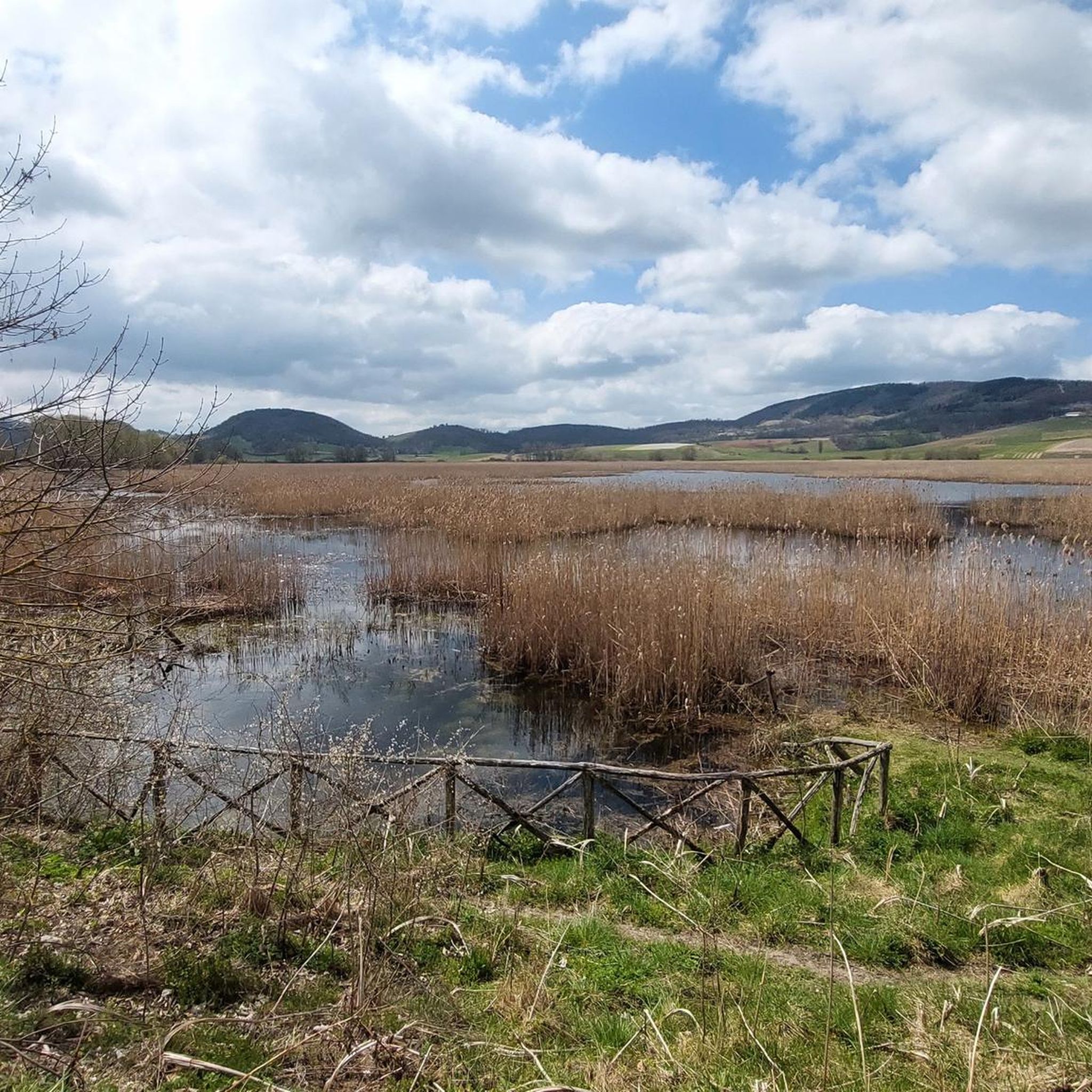
Gravel biking around Parco del Colfiorito offers a diverse landscape characterized by high-altitude plains, historical sites, and natural wetlands. The region features a mix of rolling hills and open fields, with routes often traversing agricultural areas and connecting to small villages. Elevation changes are common, including passes and climbs that provide varied terrain for gravel cyclists.
Best gravel bike trails around Parco del Colfiorito
- The most popular gravel bike trail is Colfiorito Lake – Menotre River in Rasiglia loop from…
Last updated: May 22, 2026
5.0
(2)
20
riders
79.9km
05:58
1,430m
1,430m
Hard gravel ride. Very good fitness required. Mostly paved surfaces. Suitable for all skill levels.
12
riders
94.5km
07:12
1,910m
1,910m
Hard gravel ride. Very good fitness required. Mostly paved surfaces. Suitable for all skill levels.

Sign up for free
4
riders
59.5km
05:11
1,530m
1,530m
Hard gravel ride. Very good fitness required. Mostly paved surfaces. Suitable for all skill levels.
4
riders
53.5km
04:09
1,350m
1,350m
Hard gravel ride. Very good fitness required. Mostly paved surfaces. Suitable for all skill levels.
4
riders
39.3km
03:29
800m
800m
Hard gravel ride. Very good fitness required. Mostly paved surfaces. Suitable for all skill levels.
Get access to more routes and recommendations from other explorers.
Sign up for free
Already have an account?
Our route recommendations are based on thousands of hikes, rides, and runs completed by other people on komoot.
Start today with a free account
Your next adventure awaits.
Login or Signup
Tips from the Community

A WONDERFUL SMALL VILLAGE THAT WILL LEAVE YOU OPEN-MOUTHED
0
0

RASIGLIA is a micro village crossed by streams and canals. It can be visited in a few minutes, but it is worth the detour. A bit chaotic to walk there during the weekends, because it is packed with tourists.
0
0

A beautiful town on the border with Abruzzo.
13
0

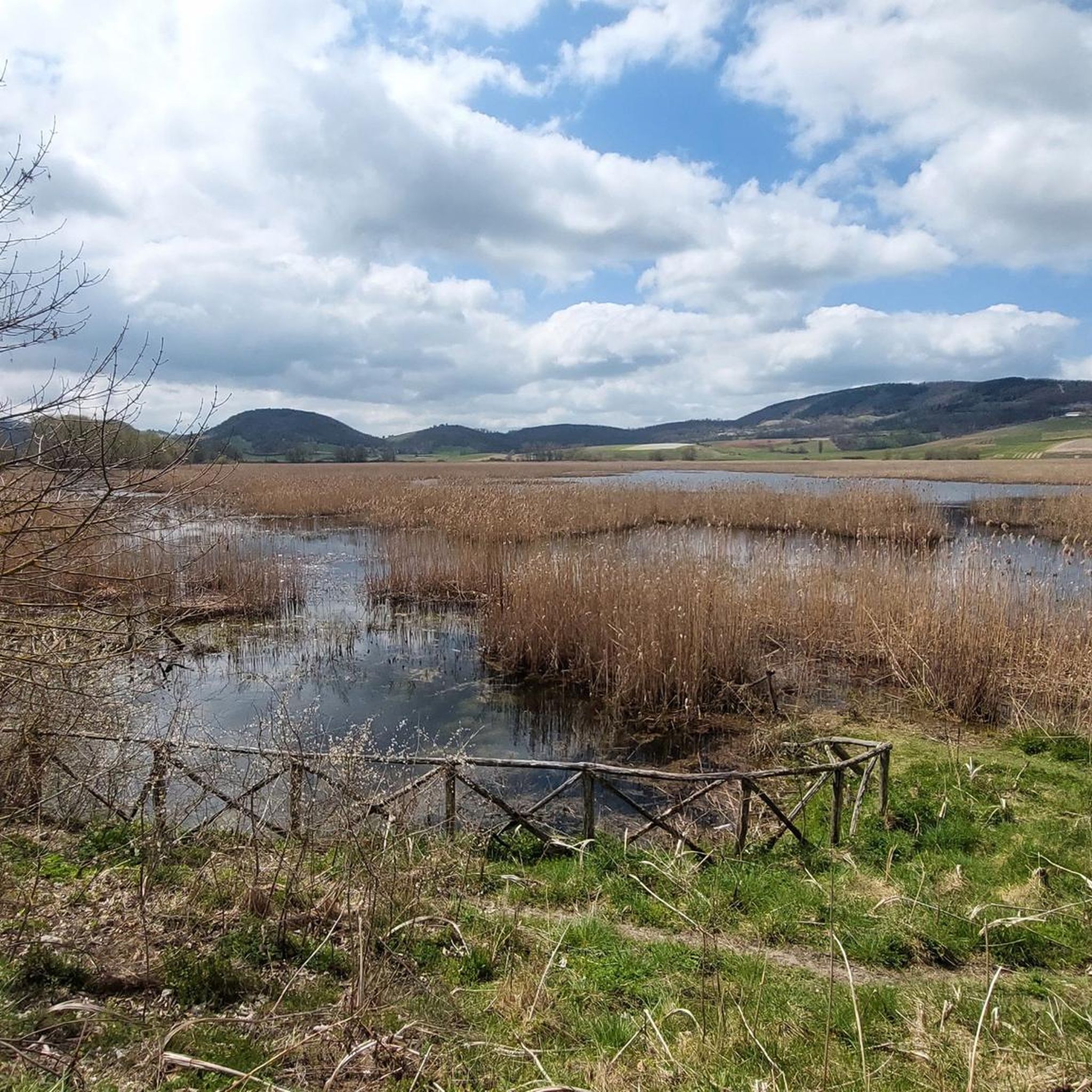
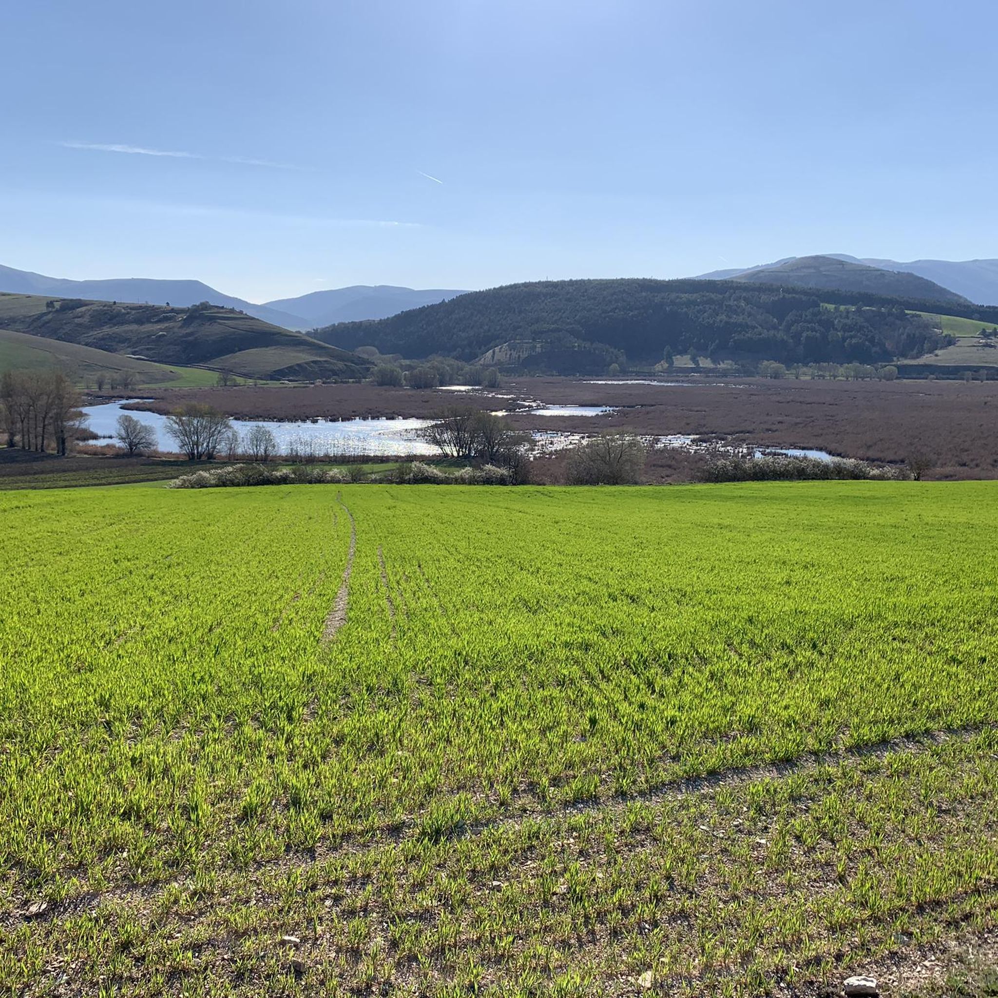
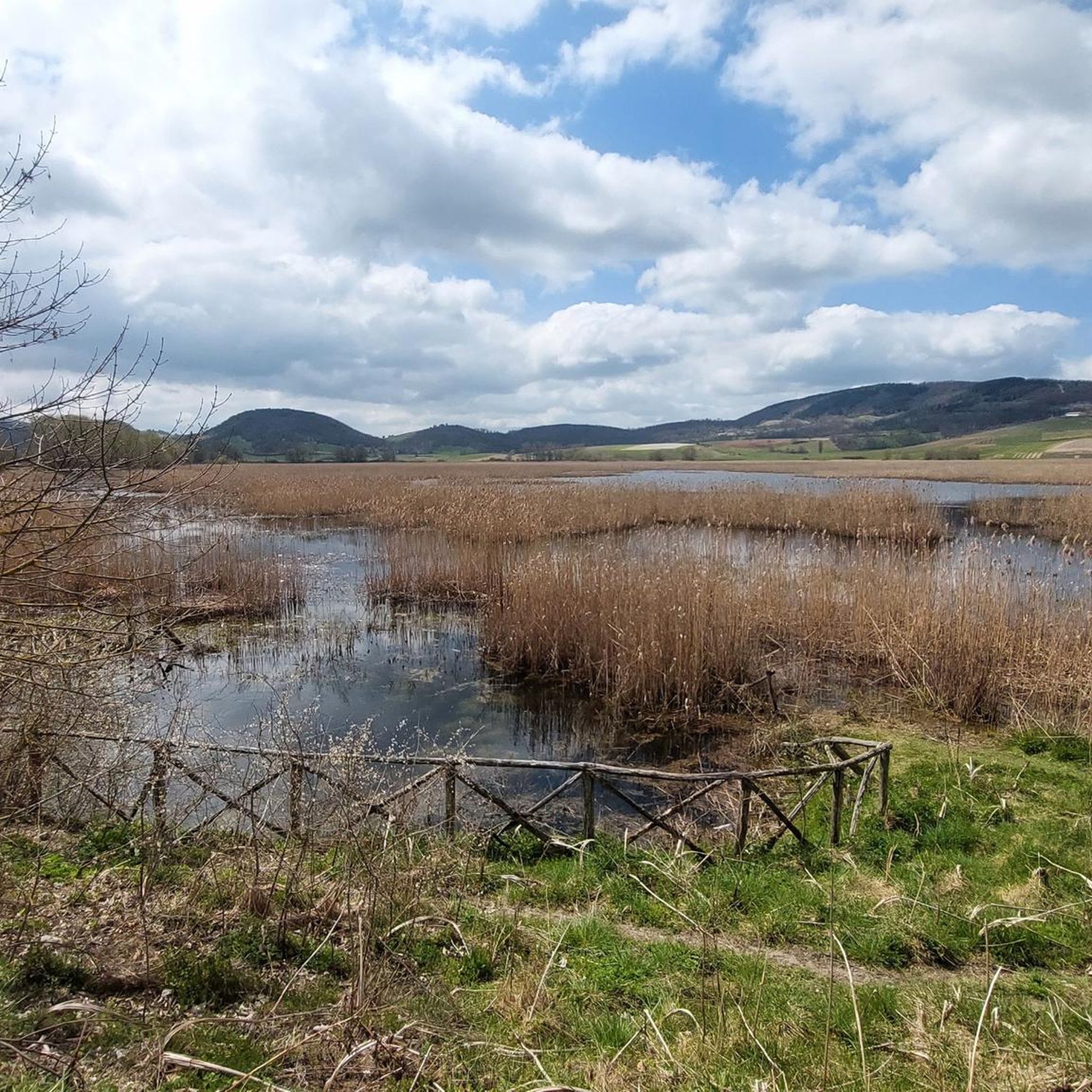
Colfiorito is the largest town on the vast plateau of about 300 hectares where it is located, at an altitude of 781 m above sea level, along the Strada statale 77 della Val di Chienti that connects Foligno to Civitanova Marche; part of the plateau falls within the territory of the municipality of Serravalle di Chienti, in the province of Macerata. The karst plateau derives from the draining of seven lake basins, of which only the marsh remains. Colfiorito, according to Istat data from the 2001 census, has about 400 residents. If you want to continue on internal roads that lead back to Foligno instead of returning on the SS 77 (a bit busy) you pass through the town and from there you move among the beautiful green and fresh hills.
3
0

The Rasenna plateau is a truly suggestive border territory. It is located between the Marche and Umbria and its history has ancient roots still preserved in the small town of Rasenna. In the Middle Ages, this was part of the fiefdom of the Alviano di Mevale and after the Unification of Italy it became part of the Municipality of Visso, province of Macerata. Pedaling here you can immerse yourself in the quiet of nature and enjoy the magnificent views!
1
0

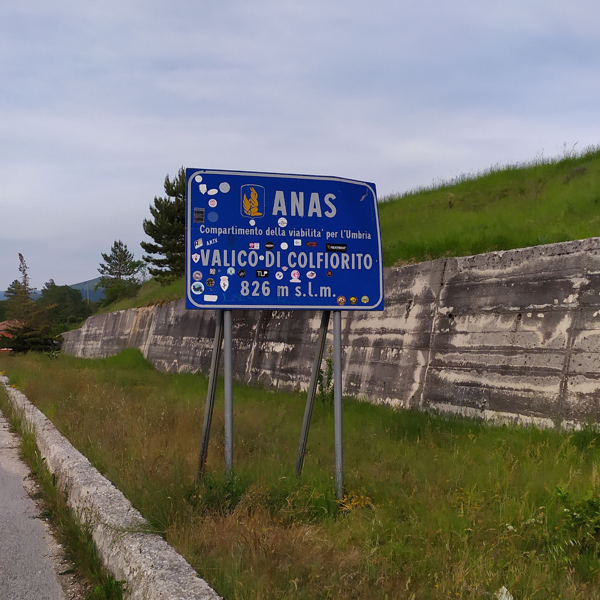
Fantastic Colfiorito pass, the old road with almost no cars.
0
0
Frequently Asked Questions
How many gravel bike trails are available in Parco del Colfiorito?
There are over 20 gravel bike routes documented on komoot for the Parco del Colfiorito region, offering a variety of experiences for riders.
Are there easy or family-friendly gravel bike trails in Parco del Colfiorito?
Most of the gravel bike routes in Parco del Colfiorito are rated as difficult, with a few moderate options. There are currently no routes specifically categorized as easy, so families with young children or beginners should be prepared for challenging terrain and significant elevation changes.
What is the typical duration for gravel bike routes in Parco del Colfiorito?
Route durations vary significantly based on distance and elevation. For example, the challenging Colfiorito Lake – Menotre River in Rasiglia loop from Colfiorito can take around 8 hours and 40 minutes, while the Colfiorito Lake – Nocera Umbra loop from Colfiorito typically takes about 5 hours and 11 minutes.
Where are common parking areas and trailheads for gravel biking in the region?
The town of Colfiorito itself serves as a popular starting point and trailhead for many routes, offering convenient access to the park's diverse landscapes.
What kind of scenery can I expect on gravel bike trails in Parco del Colfiorito?
The region is characterized by high-altitude plains, natural wetlands, rolling hills, and open fields, often traversing agricultural areas and connecting to small villages. You'll encounter lake views, rural roads, and historical sites like the Basilica of Plestia.
Are there any scenic viewpoints along the gravel bike routes?
Yes, the area includes the Valico di Colfiorito, which provides excellent scenic viewpoints. Routes like the Basilica of Plestia – Colfiorito Pass loop from Serravalle di Chienti specifically incorporate the Colfiorito Pass.
What is the best season for gravel biking in Parco del Colfiorito?
Given the high-altitude plains and varied terrain, spring and autumn generally offer the most pleasant conditions for gravel biking, with milder temperatures and vibrant landscapes. Summer can be warm, while winter may bring colder weather and potential snow at higher elevations.
What do other gravel bikers enjoy most about the routes in Parco del Colfiorito?
The area is highly rated by the komoot community, with an average score of 4.5 stars. Reviewers often praise the diverse landscape, including open plains, lake shores, and historical sites, as well as the challenging climbs and long distances that cater to experienced riders.
Are there circular gravel routes available?
Yes, many routes in Parco del Colfiorito are designed as loops, allowing you to start and end in the same location. Examples include the Enchanted Plains – Basilica of Plestia loop from Parco Regionale di Colfiorito and the Sanctuary of Our Lady of Grace – Wheat and Grass Fields Path loop from Verchiano.
What kind of wildlife might I encounter while gravel biking in Parco del Colfiorito?
As a regional park, Parco del Colfiorito is known for its natural wetlands and diverse ecosystems. While specific sightings vary, you might encounter various bird species, small mammals, and other local fauna typical of central Italian wetlands and agricultural areas.
Are there any notable attractions or landmarks to visit along the trails?
Absolutely. Beyond the natural beauty, you can explore historical sites like the Basilica of Plestia. The Scenic Road of Parco Regionale di Colfiorito and the Wheat Fields of Colfiorito Regional Park also offer picturesque points of interest.
Most popular routes around Parco del Colfiorito
Most popular attractions around Parco del Colfiorito

Get inspired with the komoot mobile app


Explore more
Browse the best Gravel rides in other regions.
