The best running trails around Załęczański Park Krajobrazowy
4.0
(2)
161
runners
27
runs
Jogging around Załęczański Park Krajobrazowy offers diverse natural landscapes, characterized by the scenic Warta River and its dramatic gorges, including the "Great Arch of Warta." The region features hilly terrain within the Wieluń Upland, providing varied routes with inclines and descents. Over half of the park is covered by natural forests, such as protected beech and oakwoods, offering shaded paths. Unique geological features, including Jurassic rock formations and the pulsating Granatowe Źródła, add to the varied scenery.
Best jogging routes…
Last updated: July 15, 2026
4.0
(1)
40
runners
21.1km
02:23
70m
70m
Hard run. Very good fitness required. Mostly paved surfaces. Suitable for all skill levels.
4.0
(1)
41
runners
16.8km
01:54
80m
80m
Hard run. Very good fitness required. Mostly paved surfaces. Suitable for all skill levels.

Sign up for free
10
runners
40.1km
04:39
210m
210m
Hard run. Very good fitness required. Mostly paved surfaces. Suitable for all skill levels.
5
runners
46.0km
05:21
280m
280m
Hard run. Very good fitness required. Mostly paved surfaces. Suitable for all skill levels.
3
runners
7.39km
00:46
40m
40m
Moderate run. Good fitness required. Mostly paved surfaces. Suitable for all skill levels.
Get access to more routes and recommendations from other explorers.
Sign up for free
Already have an account?
Our route recommendations are based on thousands of hikes, rides, and runs completed by other people on komoot.
Start today with a free account
Your next adventure awaits.
Login or Signup
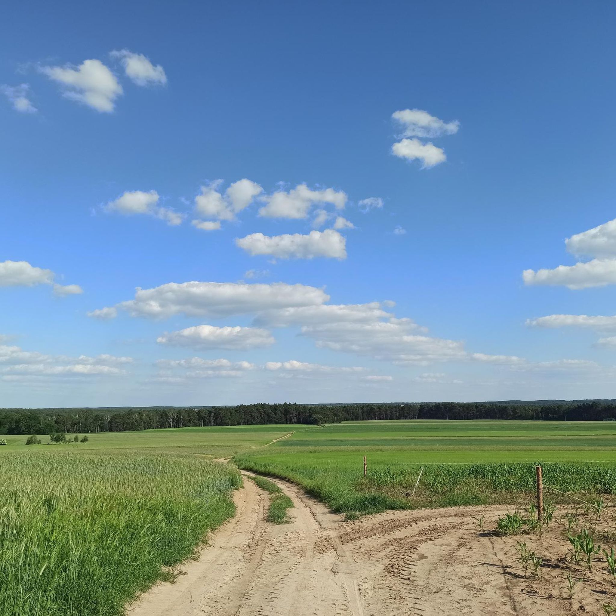
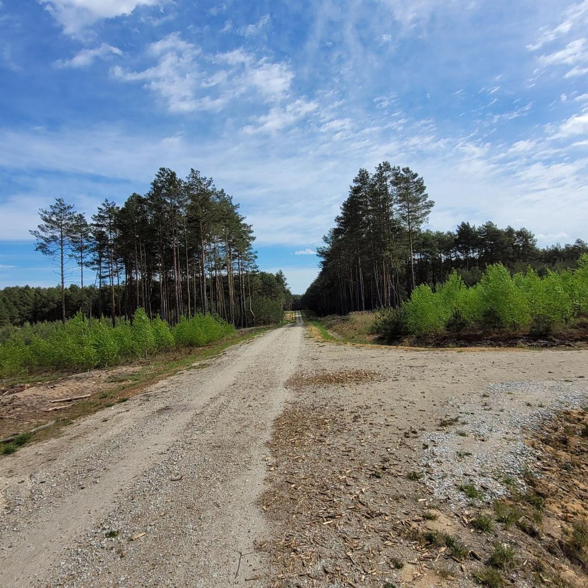
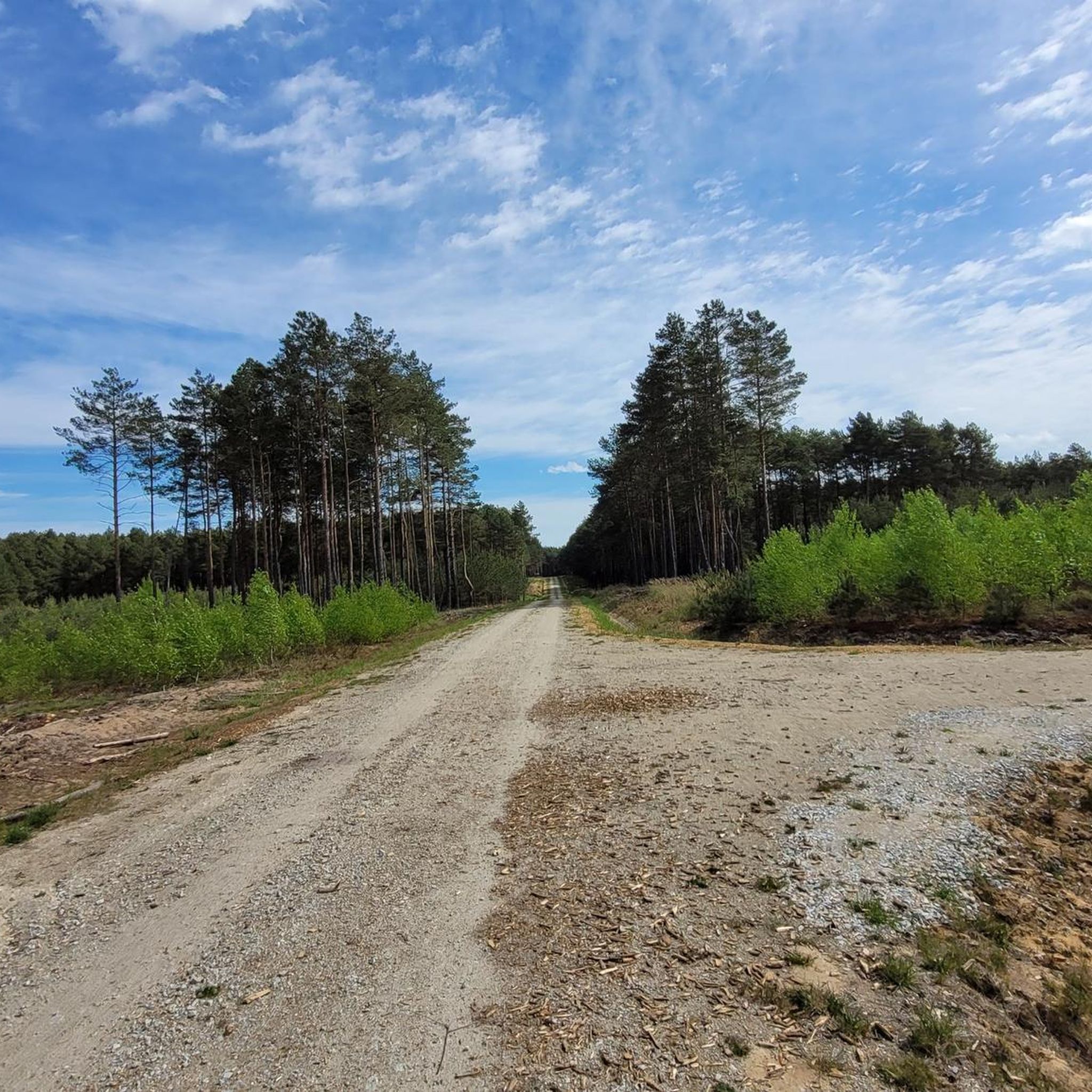
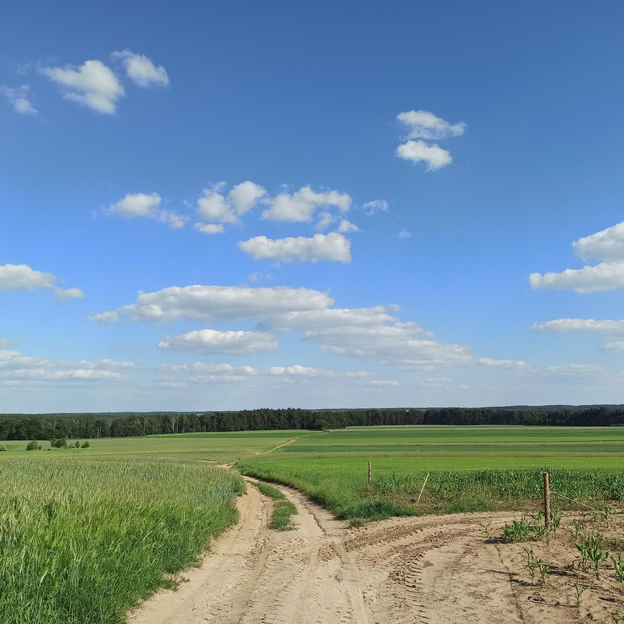

Tips from the Community

The gorge is located on the grounds of a military training ground from the Second Polish Republic period.
0
0

A great place in Bobrowniki to rest, especially if you're on a longer hike... there's a good picnic shelter (it can get crowded with cyclists) and picturesque views of the Warta River.
0
0
An exceptionally beautiful gorge through a peaceful forest. The Warta River is literally just to the west, although you can't see it through the trees and from the bottom of the gorge, but it's a great place for a walk between Krzeczów and Kamion. If you're looking for a place to relax and slow down, this is it!
1
0
Frequently Asked Questions
How many running routes are available in Załęczański Park Krajobrazowy?
There are over 20 jogging routes in Załęczański Park Krajobrazowy, offering a variety of distances and difficulty levels to suit different preferences and fitness levels.
What kind of terrain can I expect on the jogging trails in Załęczański Park Krajobrazowy?
The park features a diverse and often hilly terrain, characteristic of the Wieluń Upland. You'll find paths winding through extensive natural forests, along the scenic Warta River and its dramatic gorges, and past unique Jurassic rock formations. This variety provides engaging routes with both inclines and descents.
Are there any easy running routes suitable for beginners or a relaxed jog?
Yes, while many routes offer a challenge, there is at least one easy jogging route available in Załęczański Park Krajobrazowy. These routes are perfect for a more relaxed pace or for those new to trail running.
Can I find routes with significant elevation changes for a more challenging run?
Absolutely. The park's location within the Wieluń Upland means many routes feature hilly landscapes and notable elevation gains. For example, the difficult Góra Korzenna – Świńska Górka 178 m loop from Kałuże includes over 200 meters of ascent, providing a demanding workout.
What are some natural attractions or points of interest I might see while jogging?
While running, you can discover several natural and historical points of interest. Keep an eye out for the picturesque Warta River Valley, especially the 'Great Arch of Warta'. You might also encounter unique geological features like the Jurassic rock formations or the pulsating Granatowe Źródła. Historical sites such as the Ruins of the Old Lime Kiln or the Lundaga Historic Watermill are also nearby.
Are there any circular running routes in the park?
Yes, many of the running routes in Załęczański Park Krajobrazowy are designed as loops, allowing you to start and finish at the same point. An example is the Running loop from Stara Wieś, which traverses varied terrain through the park's forests.
Are the jogging routes in Załęczański Park Krajobrazowy suitable for running with dogs?
Załęczański Park Krajobrazowy is generally dog-friendly, and many trails are suitable for running with your canine companion. However, always ensure your dog is on a leash and that you clean up after them to preserve the natural environment for everyone.
What do other runners enjoy most about jogging in Załęczański Park Krajobrazowy?
The area is highly rated by the komoot community, with an average score of 4.0 stars. Runners often praise the diverse natural landscapes, the scenic Warta River, and the extensive network of trails that offer a refreshing and engaging experience away from urban noise.
Are there any less crowded running options for a more peaceful experience?
With over 20 routes, it's possible to find less crowded options, especially during off-peak hours or by exploring some of the moderate to difficult trails. The extensive forest cover and varied terrain naturally spread out visitors, allowing for a more peaceful run.
Can I access the jogging routes using public transport?
While specific public transport links directly to trailheads might be limited, some villages bordering the park may have bus connections. It's advisable to check local public transport schedules for routes to towns like Załęcze Małe or Stara Wieś, and plan your run from there.
Are there any running routes that offer panoramic views or scenic overlooks?
Yes, the park's hilly terrain and the dramatic Warta River gorges provide several opportunities for scenic views. Routes that traverse higher elevations or follow the river's bends often reward runners with picturesque vistas of the landscape, including the 'Great Arch of Warta'.
What is the best time of year to go jogging in Załęczański Park Krajobrazowy?
Spring and autumn are generally considered the best times for jogging, offering pleasant temperatures and beautiful scenery with blooming flora or vibrant fall foliage. Summer can also be enjoyable, especially on shaded forest paths, but be mindful of higher temperatures. Winter running is possible, but trails may be snowy or icy.
Most popular routes around Załęczański Park Krajobrazowy
Most popular attractions around Załęczański Park Krajobrazowy

Get inspired with the komoot mobile app


Explore more
Browse the best Running Trails & Routes in other regions.
