The best mountain hikes in Riserva Naturale Mont Mars
4.5
(6)
49
hikers
4
hikes
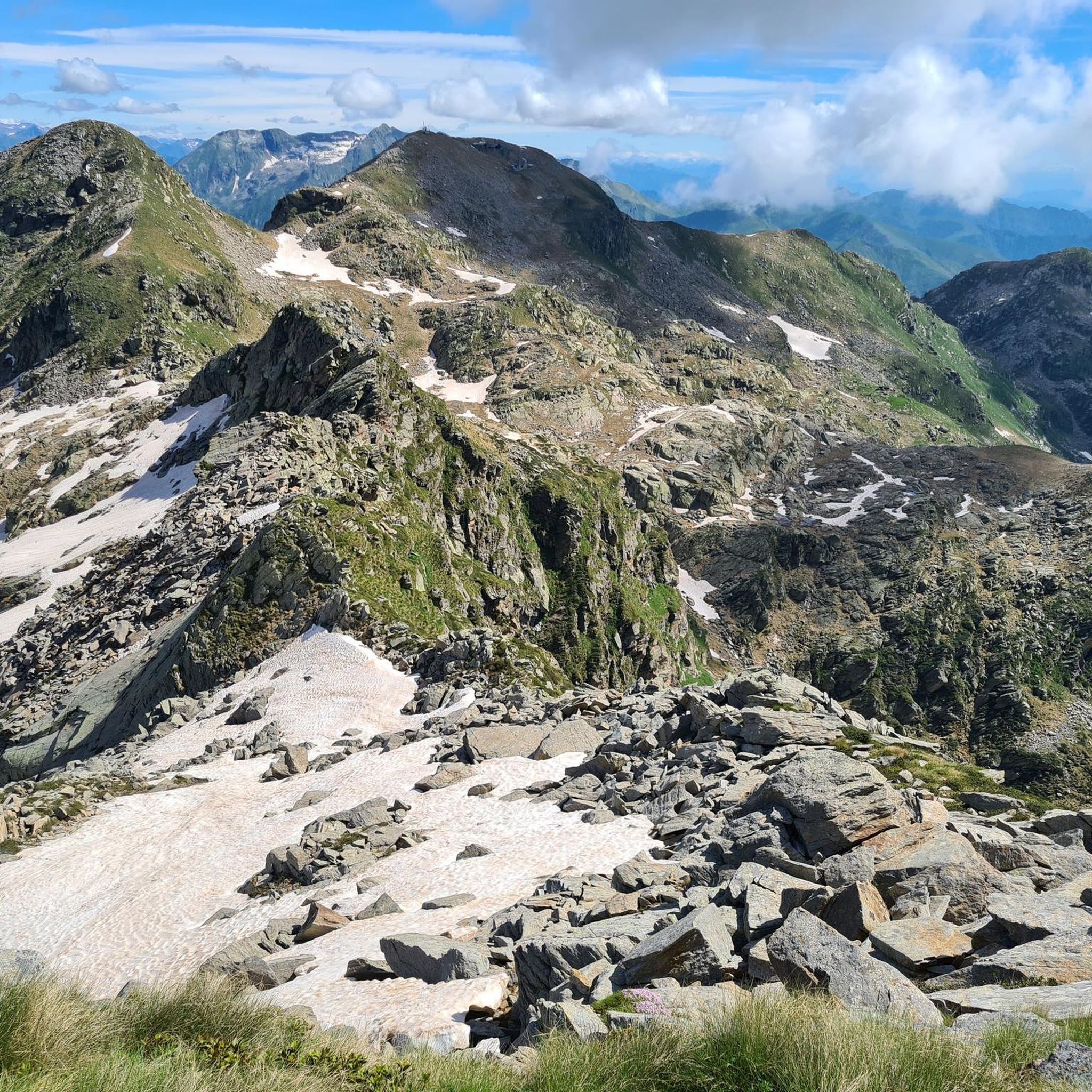
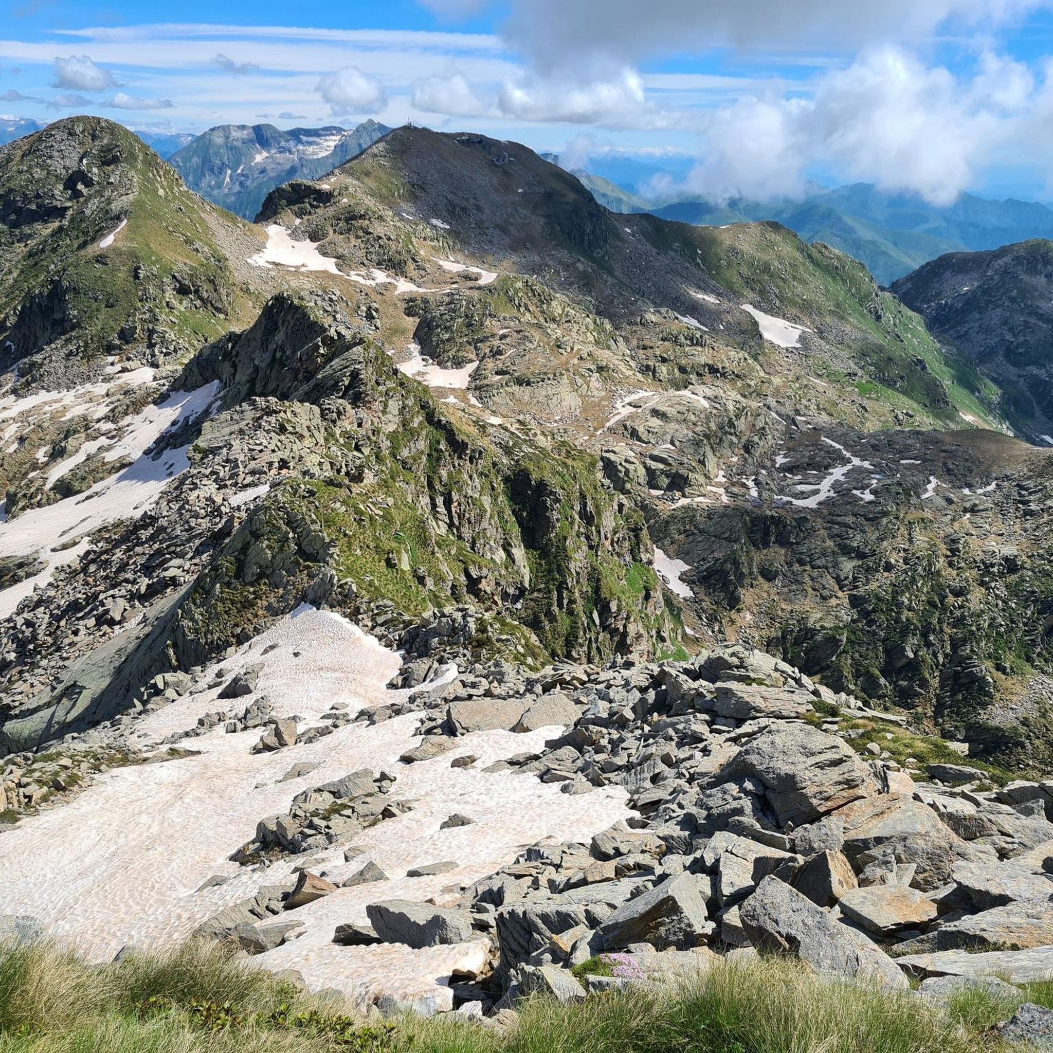
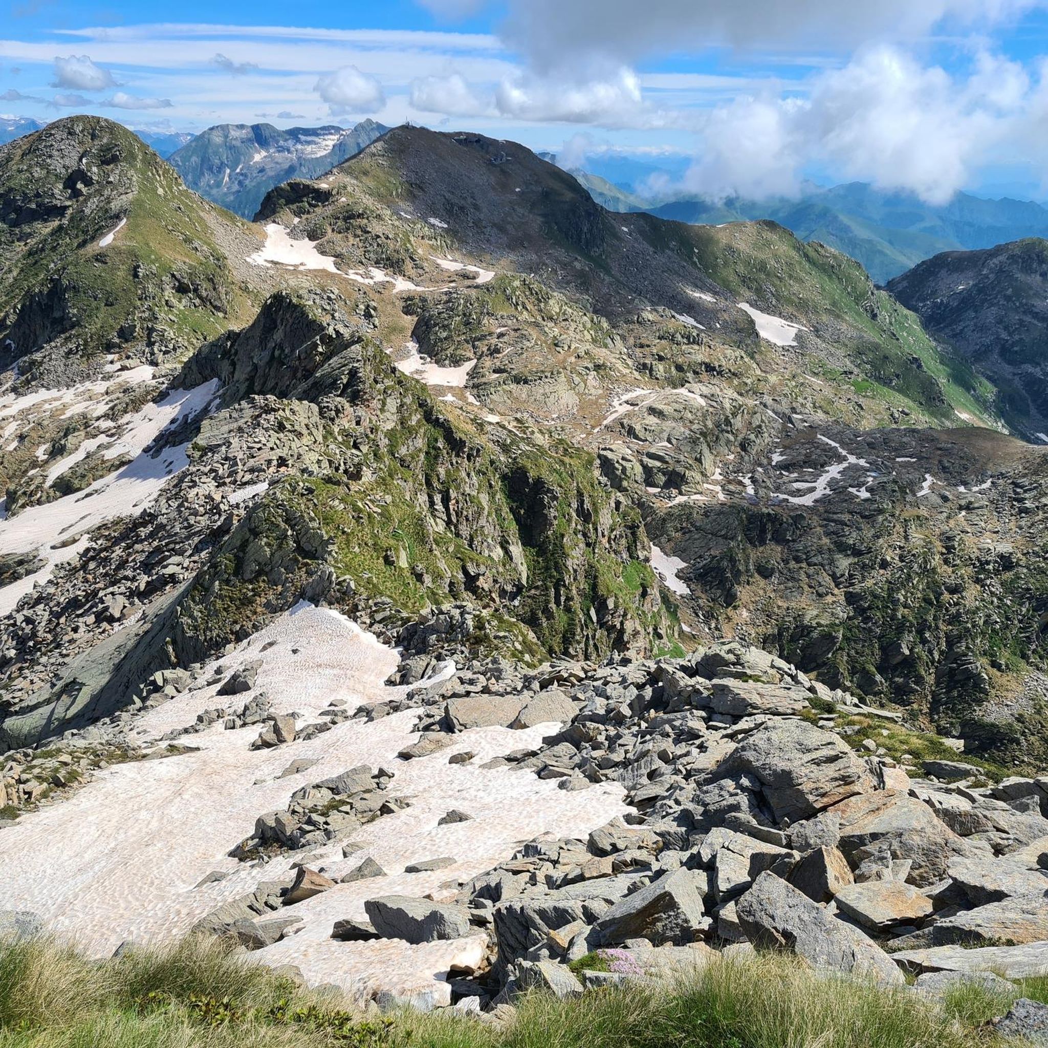
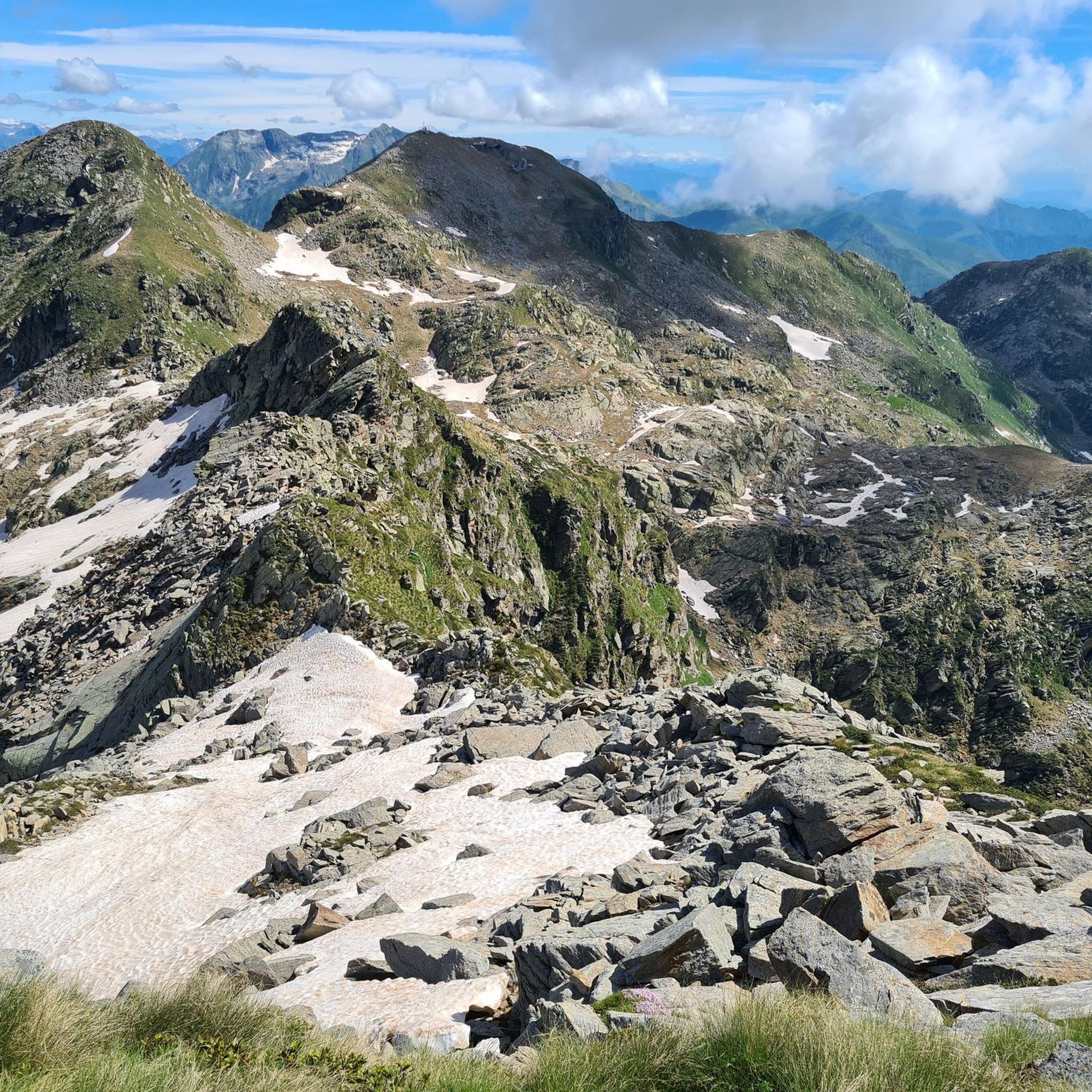
Mountaineering routes in Riserva Naturale Mont Mars are found within Italy's Aosta Valley, a region characterized by diverse alpine landscapes. The reserve features prominent glacial morphology, with terraced rock basins, alpine lakes, and peat bogs. Monte Mars, at 8,530 ft (2,600 m), dominates the area, offering challenging ascents above scree slopes and steep walls. The terrain transitions from dense forests at lower altitudes to green alpine meadows and rocky, high-altitude areas.
Best mountaineering routes in Riserva Naturale Mont Mars
- The…
Last updated: September 30, 2026
11
hikers
11.7km
06:43
1,070m
1,070m
Hard mountaineering route. Very good fitness required. Sure-footedness, sturdy shoes and alpine experience required.
4.0
(3)
16
hikers
13.6km
06:37
1,090m
1,090m
Hard mountaineering route. Very good fitness required. Sure-footedness, sturdy shoes and alpine experience required.

4.5
(2)
15
hikers
13.2km
06:30
1,090m
1,090m
Hard mountaineering route. Very good fitness required. Sure-footedness, sturdy shoes and alpine experience required.
5.0
(1)
7
hikers
13.6km
07:28
1,280m
1,280m
Hard mountaineering route. Very good fitness required. Sure-footedness, sturdy shoes and alpine experience required.
Our route recommendations are based on thousands of hikes, rides, and runs completed by other people on komoot.
Start today with a free account
Your next adventure awaits.
Popular around Riserva Naturale Mont Mars

Alta Via n. 1 of the Aosta Valley — a walk among Italian giants

A walk among Italian giants — Aosta Valley High Route 1
Hiking in Riserva Naturale Mont Mars
Running Trails in Riserva Naturale Mont Mars
Cycling in Riserva Naturale Mont Mars
MTB Trails in Riserva Naturale Mont Mars

Gravel biking in Riserva Naturale Mont Mars
Road Cycling Routes in Riserva Naturale Mont Mars
Other adventures in Riserva Naturale Mont Mars


Tips from the Community


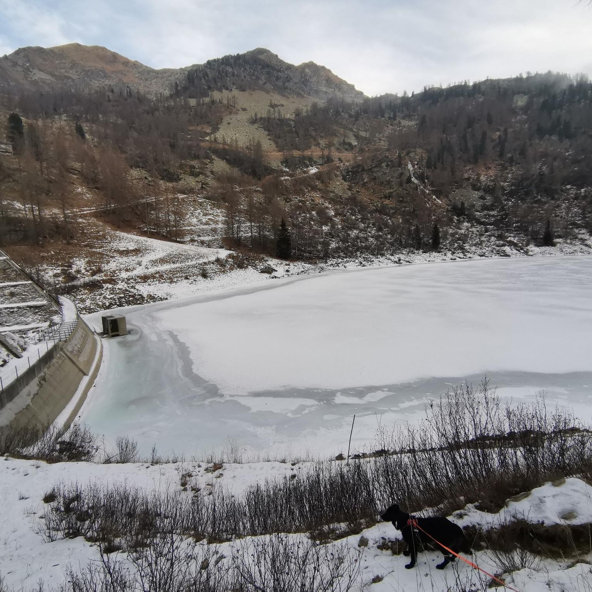
glacial lake that gives rise to the Oropa stream
0
0
built in 1936 and restored in 2006
0
0
arrival station and panoramic view of the Sanctuary
0
3
beautiful dirt road with dry stone walls and natural ground (without added gravel)
0
3
at the end of 2025 the dirt road track was improved and made passable by off-road vehicles and bikes, with the elimination and covering of the previous ford on the Oropa
0
0
it is located at Alpe Pissa
0
1

A few meters from Lake Mucrone, if you are looking for a place to fill your water bottle, the Fonte del Bersagliere is the ideal place, where the freshest spring water flows.
0
0
Frequently Asked Questions
How many mountaineering routes are available in Riserva Naturale Mont Mars?
There are 14 mountaineering routes available in Riserva Naturale Mont Mars. These routes cater to various skill levels, from moderate paths to challenging mountaineering experiences.
What is the general difficulty level of mountaineering routes in Riserva Naturale Mont Mars?
The majority of mountaineering routes in Riserva Naturale Mont Mars are considered difficult, with 13 out of 14 routes falling into this category. There is also 1 moderate route. These trails often feature significant elevation gains and require good fitness, sure-footedness, and sturdy shoes.
Are there any circular mountaineering routes in Riserva Naturale Mont Mars?
Yes, several mountaineering routes in Riserva Naturale Mont Mars are circular. For example, you can explore the Cresta Carisey loop from Fontainemore, which is a challenging 7.2-mile (11.6 km) trail. Another option is the Mucrone Lake loop from Oropa, an 8.2-mile (13.2 km) route through varied alpine terrain.
What kind of terrain can I expect on mountaineering routes in Riserva Naturale Mont Mars?
Mountaineering routes in Riserva Naturale Mont Mars traverse diverse alpine landscapes. You'll encounter dense forests at lower altitudes, transitioning to green alpine meadows, and then rocky, high-altitude areas with scree slopes and steep walls. The reserve also features prominent glacial morphology, with terraced rock basins, picturesque alpine lakes, and peat bogs.
What are some notable natural features or landmarks to see along the routes?
The reserve is rich in natural beauty. You can expect to see several alpine lakes, such as the Upper Lago Lungo and the Barma Lakes. The imposing Monte Mars, at 8,530 ft (2,600 m), dominates the area. You might also encounter the Mont Mars Nature Reserve itself, which is a significant natural monument.
What do other mountaineers enjoy most about the routes in Riserva Naturale Mont Mars?
The mountaineering routes in Riserva Naturale Mont Mars are highly rated by the komoot community, with an average score of 4.75 stars from over 6 reviews. Mountaineers often praise the challenging ascents, the diverse glaciated terrain, and the stunning panoramic views of iconic peaks like Monviso, Gran Paradiso, Mont Blanc, Matterhorn, and Monte Rosa from higher elevations.
Are there any mountain huts or refugios along the mountaineering trails?
Yes, there are mountain huts that can serve as resting points. For instance, the Rifugio della Balma and the Barma Hut are located within the area. The Rifugio Delfo e Agostino Coda is also situated near the summit of Monte Mars.
Is Riserva Naturale Mont Mars suitable for family mountaineering or hiking?
While many mountaineering routes are challenging, the reserve does offer a range of environments. The extensive hiking trails cater to various skill levels. For families, it's advisable to look for paths rated as easier or moderate, especially those at lower altitudes or around the alpine lakes, which might be more accessible than the demanding summit ascents.
What is the best time of year for mountaineering in Riserva Naturale Mont Mars?
The best time for mountaineering in Riserva Naturale Mont Mars is typically during the warmer months, from late spring to early autumn (June to September), when trails are generally free of snow and weather conditions are more stable. Always check local weather forecasts and trail conditions before heading out, as alpine weather can change rapidly.
Are dogs allowed on the mountaineering routes in Riserva Naturale Mont Mars?
Regulations regarding dogs in nature reserves can vary. While the region is generally dog-friendly, it's always best to check specific rules for Riserva Naturale Mont Mars, especially concerning protected areas and wildlife. Dogs are often required to be on a leash to protect local fauna like chamois and marmots.
Are there any permits required for mountaineering in Riserva Naturale Mont Mars?
Generally, permits are not required for day hiking or mountaineering on marked trails within Riserva Naturale Mont Mars. However, for specific activities or if you plan to stay overnight outside of designated huts, it's always wise to consult the local park authority for any specific regulations or restrictions that might apply.
What is a challenging mountaineering route for experienced individuals?
Experienced mountaineers seeking a challenge might consider the Monte Camino – Rifugio Rosazza loop from Oropa. This difficult 8.3-mile (13.4 km) path features substantial climbs and offers panoramic views of the surrounding alpine environment. Another demanding option is the Lago del Camino – Lago Barma superiore loop from Oropa, which is 10 miles (16.1 km) long with significant elevation gain.
Most popular routes in Riserva Naturale Mont Mars
Most popular attractions in Riserva Naturale Mont Mars

Get inspired with the komoot mobile app


Explore more
Browse the best Mountain Hikes & Routes in other regions.
