The best mountain hikes in Naturpark Bayerischer Odenwald
4.7
(4)
9
hikers
3
hikes
Mountaineering routes in Naturpark Bayerischer Odenwald traverse a landscape characterized by extensive wooded areas, rolling hills, and river valleys carved by the Main tributaries. The region offers challenging ascents to elevated points, with the highest elevation being Der Kolli at 548 meters. These routes provide opportunities for strenuous hiking and offer panoramic views across the varied terrain of forests, meadows, and riverine landscapes.
Best mountaineering routes in Naturpark Bayerischer Odenwald
- The most popular mountaineering route is Erlenbach Herb Garden loop…
Last updated: August 6, 2026
4.3
(3)
7
hikers
3.20km
00:53
50m
50m
Easy mountaineering route. Great for any fitness level. Easily-accessible paths. Suitable for all skill levels.
1
hikers
Moderate mountaineering route. Good fitness required. Easily-accessible paths. Suitable for all skill levels.

Sign up for free
5.0
(1)
1
hikers
10.3km
02:57
250m
250m
Moderate mountaineering route. Good fitness required. Easily-accessible paths. Suitable for all skill levels.
Our route recommendations are based on thousands of hikes, rides, and runs completed by other people on komoot.
Start today with a free account
Your next adventure awaits.
Login or Signup
Popular around Naturpark Bayerischer Odenwald
Franconian Red Wine Trail — From vineyards to the Main River
Germany's Main-Tauber-Franconian Radachter – two loops, one experience

German Limes Cycle Path – Riding from the Rhine to the Danube
The Nibelungensteig in 7 stages – Simply legendary!
Relaxed hiking in the Spessart – short trails of discovery
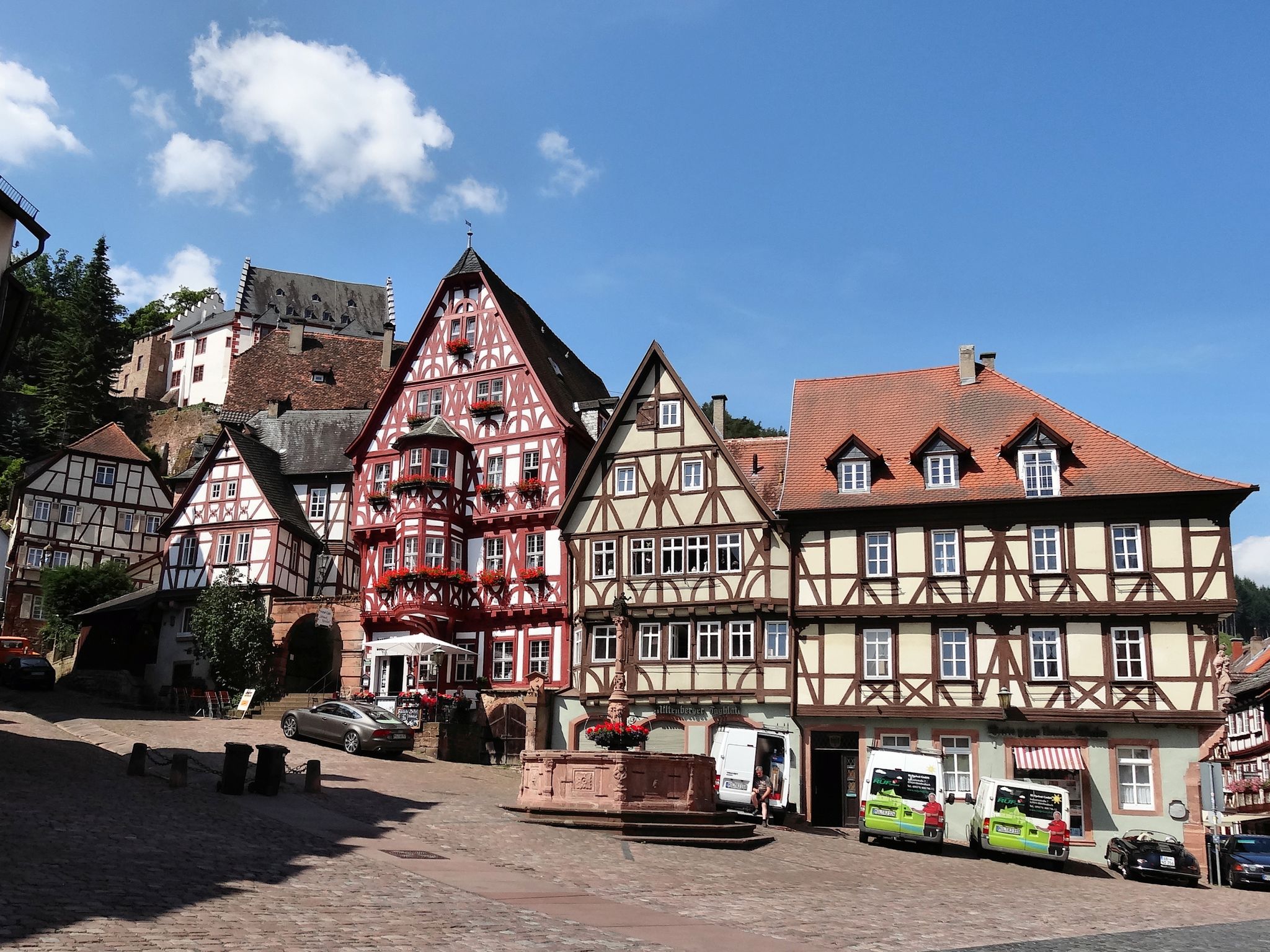
Give me four! - The Four-Country-Way

Beautiful day Tours along the Tauber, Kocher, Jagst and Neckar rivers
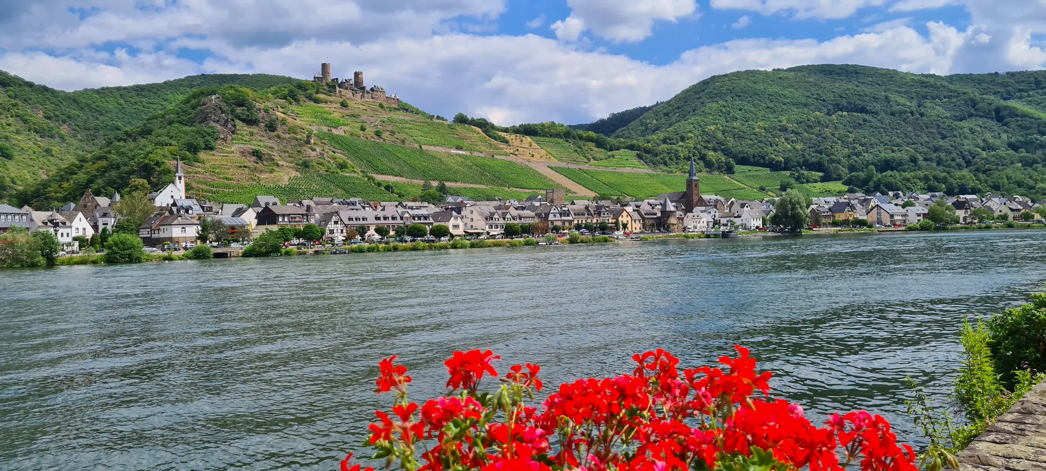
D-Route 5: Saar-Moselle-Main
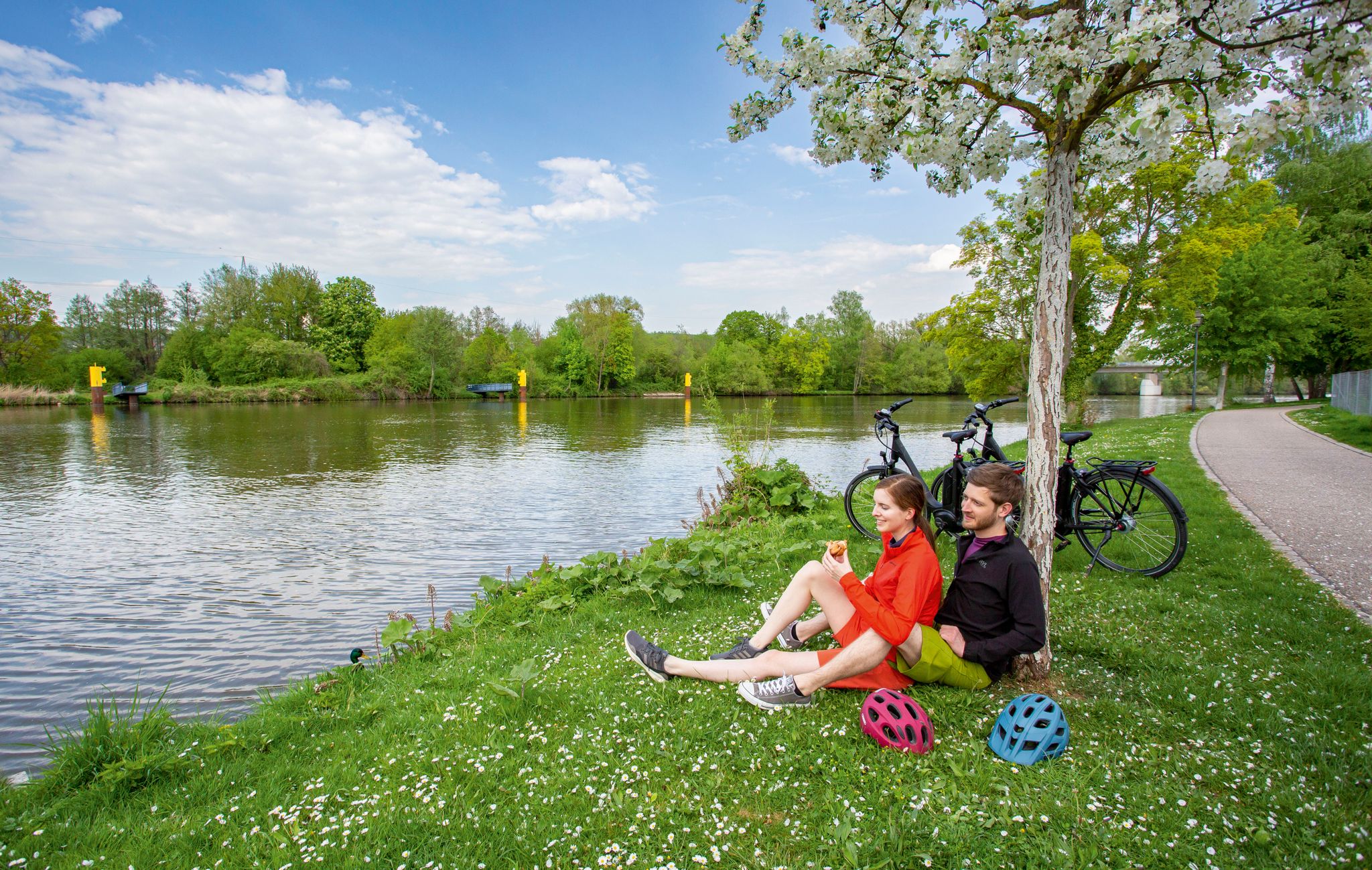
The Main Cycle Route - 12 days of river diversity
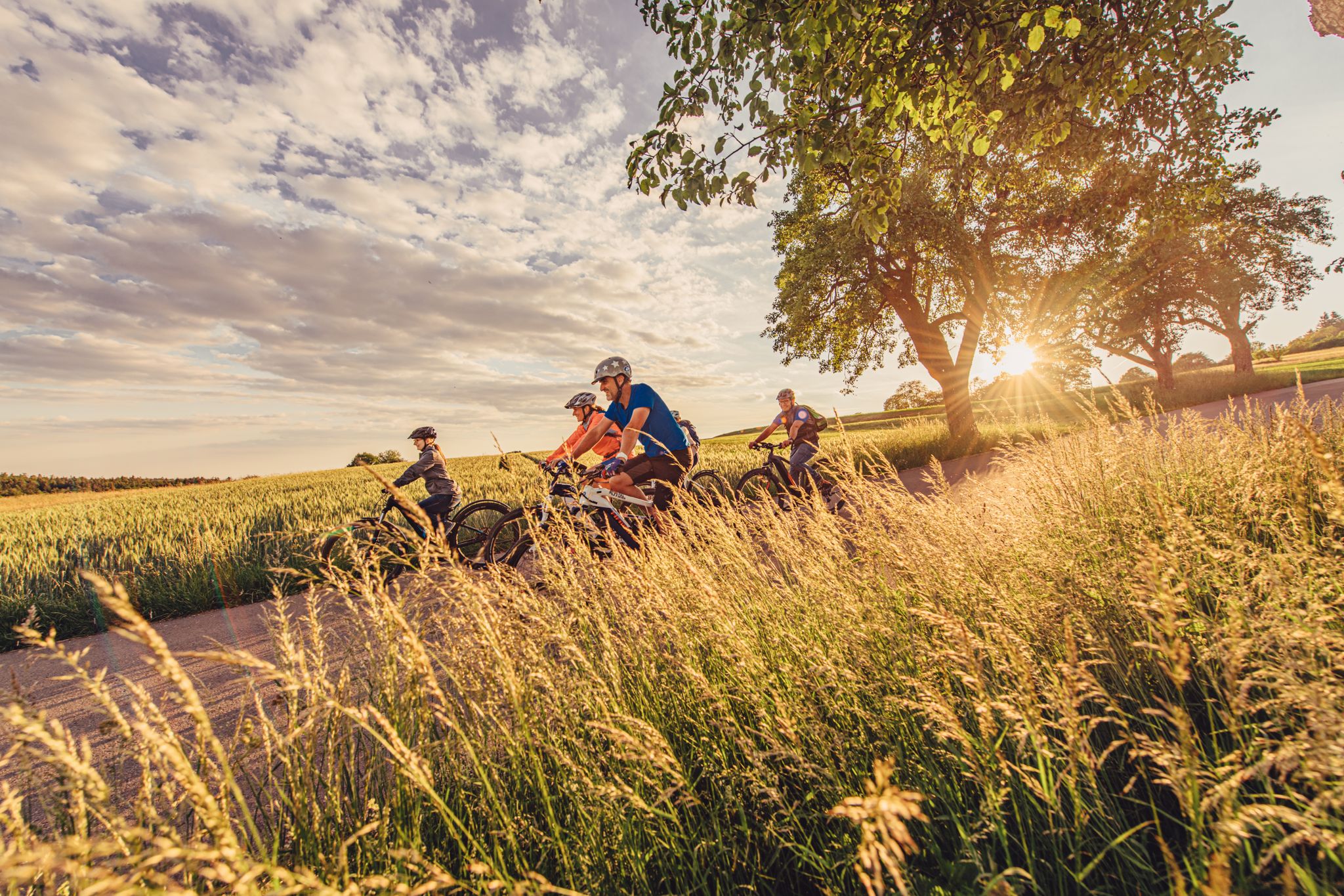
Rivers, forests and mills – the most beautiful rides in the Odenwald in Germany
Other adventures in Naturpark Bayerischer Odenwald


Tips from the Community

From here you can continue or start your 🚲 bike tours to many destinations.
1
0
Otzberg Fortress is a very good landmark.
0
0

The Wildpark Brudergrund is a really beautiful place to get out and enjoy nature. You can take a relaxed walk, observe some stags and does, and simply enjoy the calm atmosphere. Everything is very cozy, right in the middle of the forest, and you quickly feel far away from everyday life. Whether alone, as a couple, or with friends – a visit is definitely worth it.
0
0

Beautiful and well-maintained shelter
0
0

Fine sandstone block for which the "tool" is already worth it
7
0

There is always something going on up here thanks to the hiking car park. In all directions you have a beautiful view of the surrounding Odenwald
7
0

Largest and most challenging "climbing rock" of the via ferrata
7
0

Beautiful shelter in the forest
1
0
Frequently Asked Questions
What kind of terrain can I expect on mountaineering routes in Naturpark Bayerischer Odenwald?
The Naturpark Bayerischer Odenwald is characterized by extensive wooded areas, rolling hills, and scenic river valleys carved by the Main tributaries. You'll encounter varied terrain, from forest paths to open meadows, with challenging ascents leading to rewarding panoramic views. While not technical mountaineering, the routes offer strenuous hiking experiences.
Are there any easy mountaineering routes for beginners or those seeking a less strenuous walk?
Yes, there are routes suitable for various fitness levels. For an easier experience, consider the Erlenbach Herb Garden loop from Erlenbach am Main. This easy 3.2 km trail takes about 50 minutes to complete and explores varied landscapes.
What are some notable viewpoints or landmarks I can discover along the mountaineering routes?
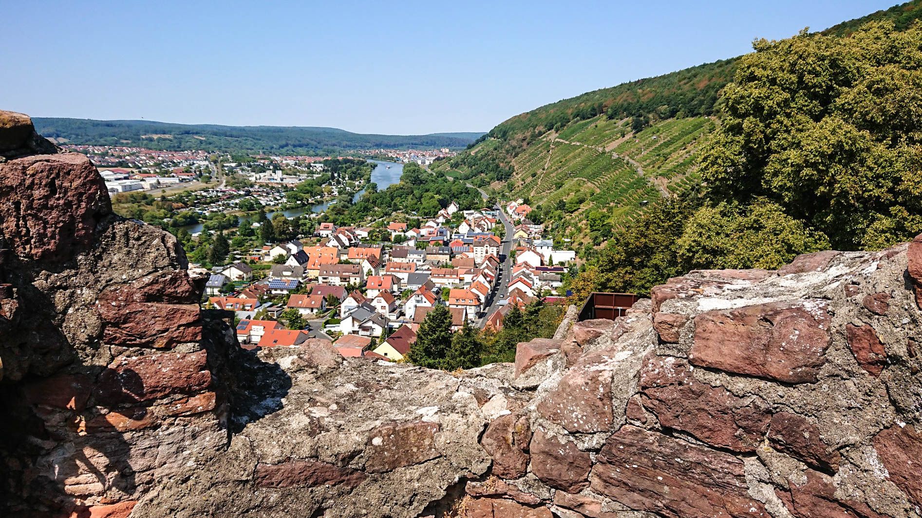
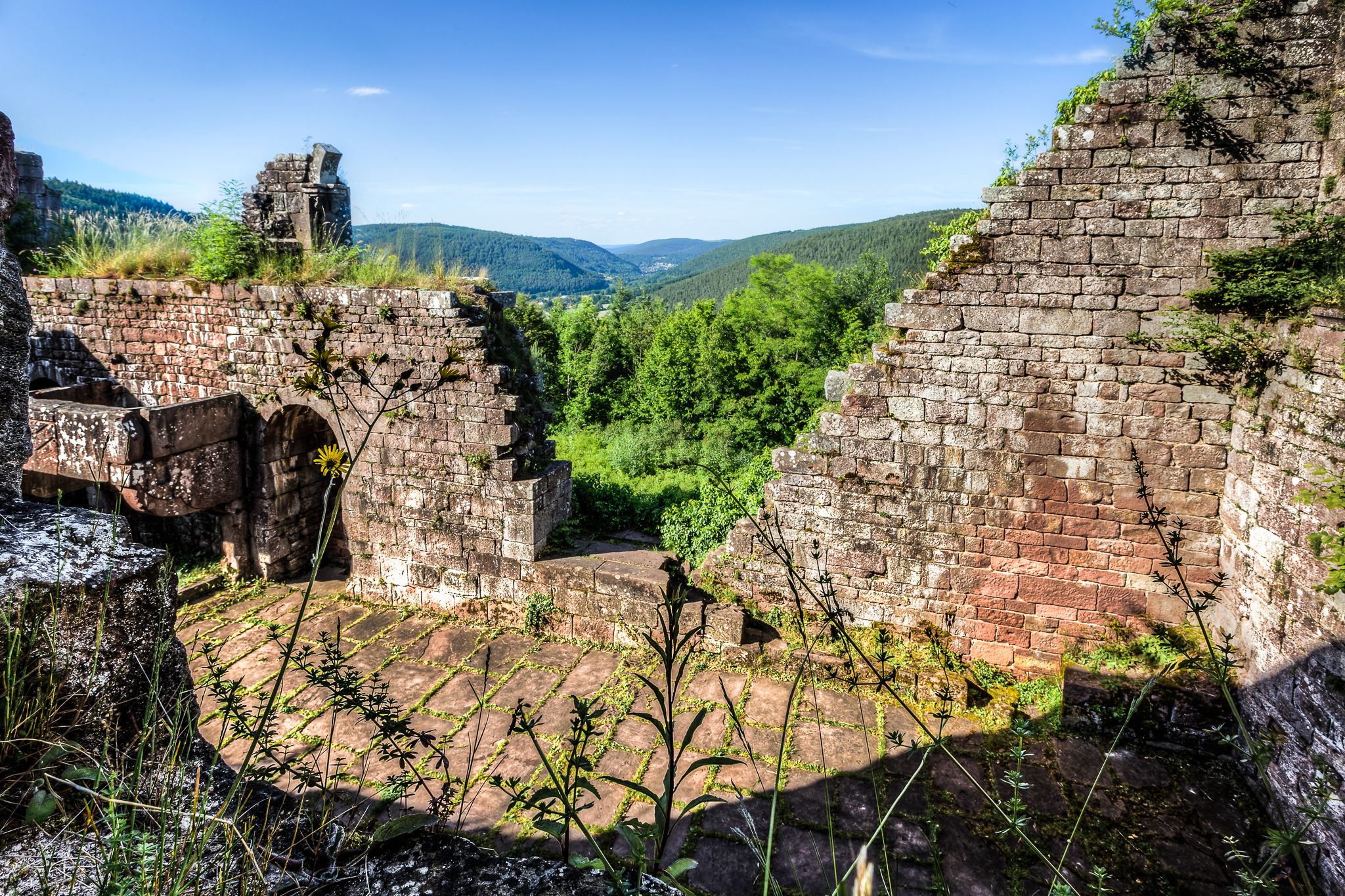
The region offers several points of interest and panoramic views. You can visit the Gotthard Ruin and Gotthard Tower Viewpoint, which provides unique vistas of the Bavarian Odenwald. Other highlights include the Summit Cross Bürgstadt and the Greinberg Summit and Celtic Ring Fort.
Are there any circular mountaineering routes available?
Yes, many routes in the Naturpark Bayerischer Odenwald are designed as loops. For example, the Brudergrund Wildlife Park – Mossauer Höhe Viewpoint loop from Erbach (Odenwald) is a moderate 10 km path offering panoramic views. Another option is the Rödelshäuschen Forest Cabin – outlook loop from Groß-Umstadt, a 10.3 km trail through forested terrain.
What is the highest elevation point I can reach in Naturpark Bayerischer Odenwald?
The highest elevation within the Naturpark Bayerischer Odenwald is Der Kolli, standing at 548 meters. While specific mountaineering routes might not lead directly to its summit, many trails offer significant ascents to elevated points, providing rewarding views across the park's diverse landscape.
What do other mountaineers enjoy most about the routes in Naturpark Bayerischer Odenwald?
The routes in Naturpark Bayerischer Odenwald are highly rated by the komoot community, with an average score of 4.7 stars. Mountaineers often praise the varied terrain, the challenging ascents leading to panoramic views, and the extensive wooded areas that define the region's natural beauty.
Are there any gorges or unique natural features to explore?
Yes, the Naturpark Bayerischer Odenwald features several scenic gorges and valleys. You can explore areas like the Laudenbach Valley, the Tiefentalgraben Trail, or the Sprenkenhohle Sunken Lane, which offer diverse ecosystems and picturesque routes along the water.
Are the mountaineering routes in Naturpark Bayerischer Odenwald suitable for families?
The Naturpark Bayerischer Odenwald offers a range of trails, and while some ascents can be challenging, many routes are suitable for active families. The diverse landscape with forests, meadows, and river valleys provides an engaging environment for children. It's advisable to check the difficulty and length of specific routes to ensure they match your family's capabilities.
What is the best time of year to go mountaineering in Naturpark Bayerischer Odenwald?
The Naturpark Bayerischer Odenwald is beautiful year-round. Spring brings blooming flora, summer offers lush green forests, and autumn transforms the landscape with vibrant colors. Winter can also be appealing for those who enjoy snowy trails, though conditions may require appropriate gear. The best time depends on your preference for weather and scenery.
Are there any towns or historical sites near the mountaineering routes worth visiting?
Absolutely. The park is dotted with charming towns. Amorbach is known for its magnificent abbey church and historic old town. Klingenberg is another enchanting town with a historic center, offering good restaurants and wine taverns. These towns provide cultural insights and amenities close to the natural trails.
What are the general trail conditions like in Naturpark Bayerischer Odenwald?
The Naturpark Bayerischer Odenwald features numerous well-marked hiking trails. You can expect a mix of forest paths, gravel tracks, and some natural, uneven terrain, especially on ascents and descents. Trail conditions are generally good, but can vary with weather, so appropriate footwear is always recommended.
Most popular routes in Naturpark Bayerischer Odenwald
Most popular attractions in Naturpark Bayerischer Odenwald

Get inspired with the komoot mobile app


