The best walks and hikes around Karlshuld
4.5
(2039)
11,082
hikers
12
hikes
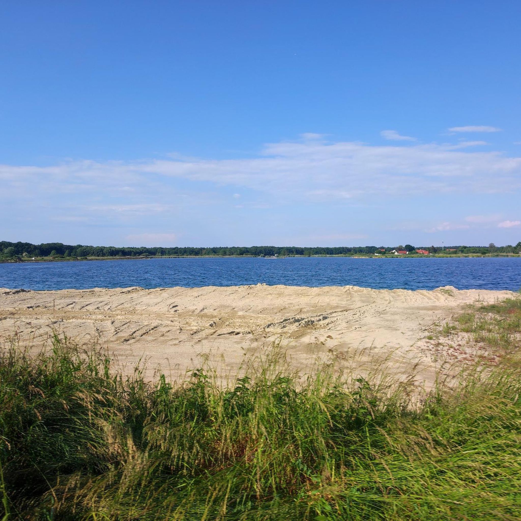
Hiking around Karlshuld offers diverse terrain within the Upper Bavarian district of Neuburg-Schrobenhausen. The region is characterized by the unique wetland landscape of the Donaumoos, featuring open plains and gentle elevations. It is also situated near the Danube river and includes numerous lakes, such as Leitnerweiher Lake. The surrounding area presents a mix of rolling hills, meadows, and forests, providing varied backdrops for outdoor activities.
Best hiking trails around Karlshuld
- The most popular hiking route is St. Ulrich Church –…
Last updated: July 4, 2026
5.0
(2)
13
hikers
5.31km
01:20
0m
0m
Easy hike. Great for any fitness level. Easily-accessible paths. Suitable for all skill levels.
7
hikers
5.55km
01:24
0m
0m
Easy hike. Great for any fitness level. Easily-accessible paths. Suitable for all skill levels.

Sign up for free
4.5
(2)
7
hikers
10.1km
02:33
20m
20m
Moderate hike. Good fitness required. Easily-accessible paths. Suitable for all skill levels.
5.0
(1)
4
hikers
7.31km
01:50
10m
10m
Easy hike. Great for any fitness level. Easily-accessible paths. Suitable for all skill levels.
5.0
(2)
5
hikers
3.62km
00:55
0m
0m
Easy hike. Great for any fitness level. Easily-accessible paths. Suitable for all skill levels.
Get access to more routes and recommendations from other explorers.
Sign up for free
Already have an account?
Our route recommendations are based on thousands of hikes, rides, and runs completed by other people on komoot.
Start today with a free account
Your next adventure awaits.
Login or Signup
Tips from the Community

The trees like in a fairytale forest, white and white.
0
0

Charging option for Pedelecs (own charger required!)
0
0

Beautiful old well-kept farmhouses... with information boards and stations.... Unfortunately, the 🦬 didn't dare come closer 🍴 🥘 😂😂😂
3
0

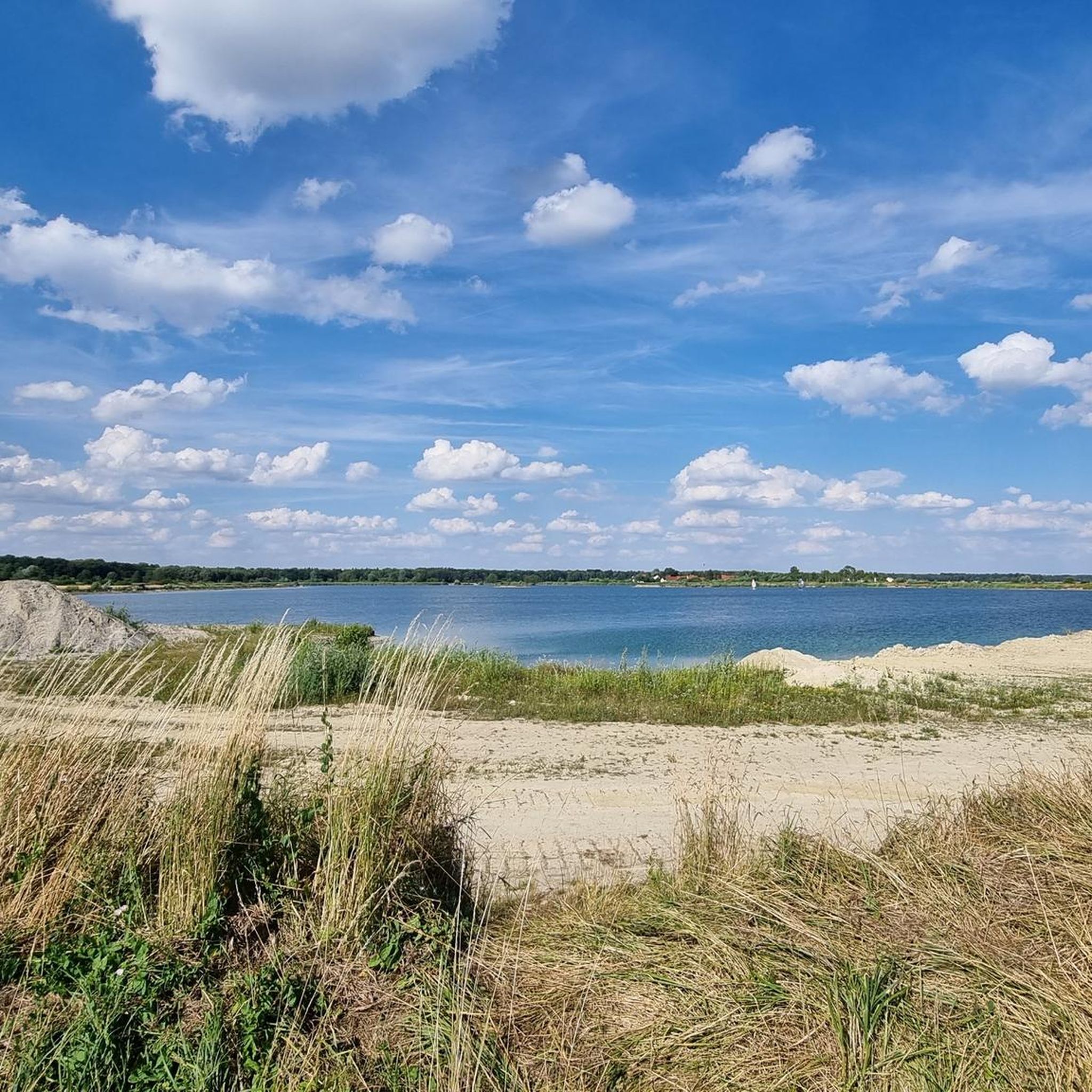
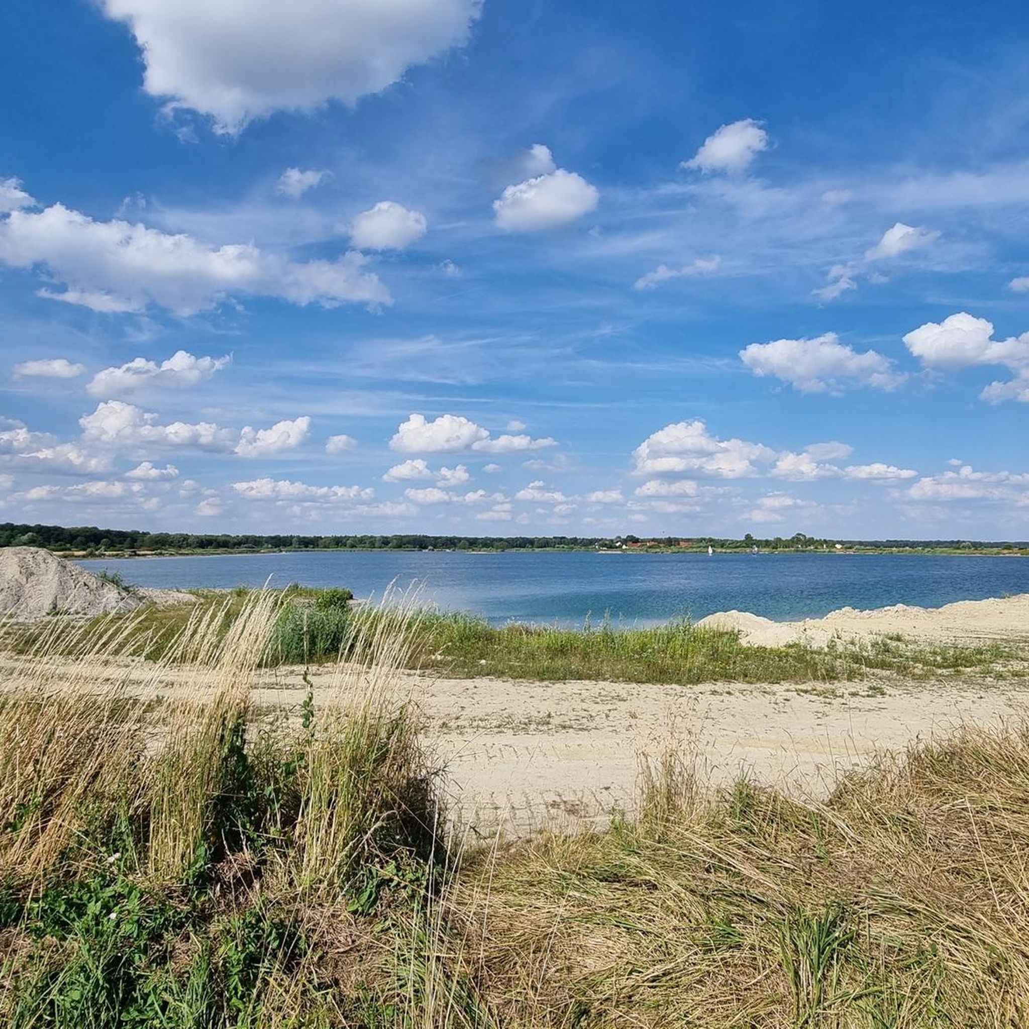
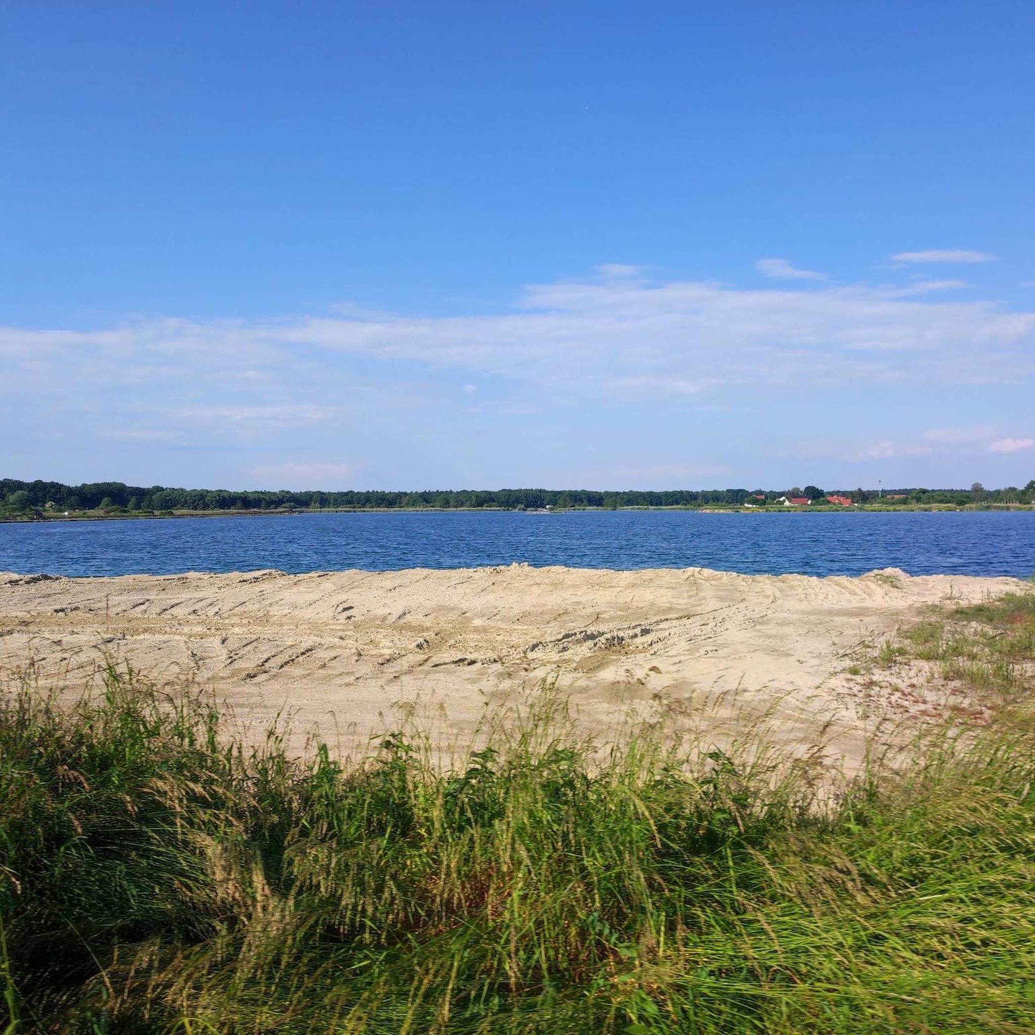
Nice area for nature activities. You can walk around the large pond (approx. 3.6km) in just under an hour if you walk slowly.
0
0
Nice area for nature activities. You can walk around the large pond (approx. 3.6km) in just under an hour if you walk slowly.
0
0
Nice area for nature activities.
0
0


One of his most famous sons is also one of the “people in the moss”: Max von Pettenkofer, “Germany's first hygienist”. The Haus im Moos has its own, albeit small, exhibition about his life and work. His birthplace can be found nearby in Lichtenheim: https://www.komoot.de/highlight/3324658?ref=ihd
1
0
Frequently Asked Questions
How many hiking trails are available in Karlshuld?
There are over 10 hiking routes around Karlshuld, offering a variety of experiences. Most of these, specifically 11, are rated as easy, with 2 moderate options for those seeking a bit more challenge.
What kind of terrain can I expect on hikes around Karlshuld?
Hikes around Karlshuld primarily feature the unique wetland landscape of the Donaumoos, characterized by open plains and gentle elevations. You'll also find paths along the Danube river, trails around local lakes like Leitnerweiher Lake, and a mix of rolling hills, meadows, and forests, providing diverse backdrops for your outdoor adventures.
Are there any easy, family-friendly hiking options in Karlshuld?
Yes, Karlshuld offers several easy routes perfect for families. A great option is the Monastery tavern – St. Ulrich Church loop from Karlshuld, which is 4.5 miles (7.3 km) long and takes about 2 hours to complete. This gentle path is suitable for all ages and provides a pleasant walk through the local surroundings.
Can I find circular hiking routes in Karlshuld?
Yes, many of the trails in Karlshuld are circular, allowing you to start and end at the same point. For example, the Leitnerweiher Lake – Leitnerweiher Loop loop from Karlshuld is a 6.3 miles (10.1 km) circular trail that takes you around the scenic lake area.
What natural attractions or viewpoints can I see while hiking in Karlshuld?
The region is rich in natural beauty, particularly around its numerous lakes. You can explore areas like Baggersee Ingolstadt, Silbersee, and Leitnerweiher Lake. The Donaumoos region itself offers unique fen landscapes and the Altmühlauen and Ilm-Donau-Auen nature reserves provide protected environments for diverse flora and fauna.
Are there any cultural landmarks or historical sites to explore near the hiking trails?
Absolutely. You can combine your hike with visits to cultural sites. The Haus im Moos Open-Air Museum loop from Haus im Moos offers insights into the region's history. Further afield, you can explore Neuburg Castle on the Danube or the historic old towns of Ingolstadt and Neuburg.
What do other hikers enjoy most about hiking in Karlshuld?
The area is highly rated by the komoot community, with an average score of 4.5 stars from over 1900 reviews. Hikers often praise the unique wetland landscape of the Donaumoos, the peaceful riverside paths along the Danube, and the varied trails around local lakes, which cater to different ability levels.
Are there dog-friendly trails in Karlshuld?
Many trails in the Karlshuld area are suitable for hiking with dogs, especially the flatter paths through the Donaumoos and along the Danube. Always remember to keep your dog on a leash, especially in nature reserves like Altmühlauen and Ilm-Donau-Auen, to protect local wildlife.
What is the best time of year to go hiking in Karlshuld?
The spring and autumn months are particularly pleasant for hiking in Karlshuld, with mild temperatures and beautiful scenery. Summer offers lush green landscapes, though some paths might be more exposed to the sun. Winter hiking is also possible, especially on the gentler, well-maintained paths, offering a different, serene experience of the fen landscape.
Are there options for public transport to reach hiking trailheads in Karlshuld?
Karlshuld is generally accessible by local bus services, which can connect you to various points within the region. For specific trailheads, it's advisable to check local public transport schedules, as some routes might require a short walk from the nearest stop.
Where can I find parking for hiking trails in Karlshuld?
Parking is generally available at key starting points for many trails in and around Karlshuld. For example, routes like the Monastery tavern loop from Karlshuld often have designated parking areas nearby. It's always a good idea to check the specific route details on komoot for parking information before you head out.
Most popular routes around Karlshuld
Most popular attractions around Karlshuld

Get inspired with the komoot mobile app


Explore more
Browse the best Hikes in other regions.
