The best running trails in Beaufort East Woodlands
5.0
(1)
46
runners
3
runs
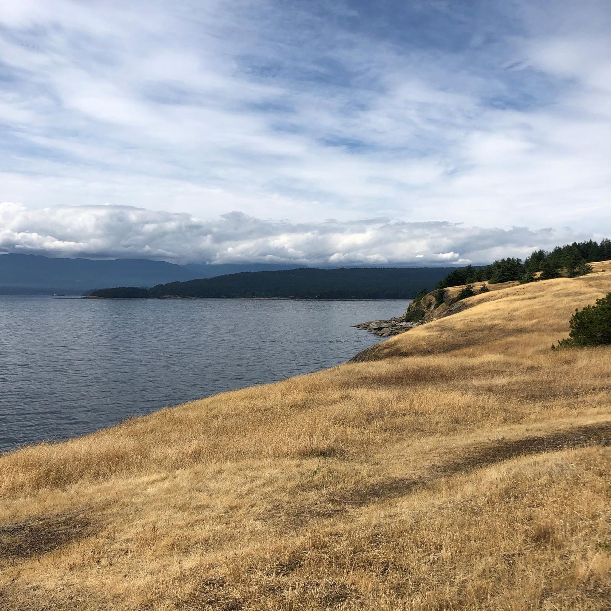
Jogging routes in Beaufort East Woodlands traverse a landscape characterized by coastal areas, conservation lands, and community parks. The region features a mix of flat trails and routes with gentle elevation changes, often winding through natural areas. Runners can expect to find paths near bodies of water and within managed park environments. The varied terrain provides options for different running preferences.
Best jogging routes in Beaufort East Woodlands
- The most popular jogging route is Fanny Bay Conservation Area loop from…
Last updated: May 24, 2026
1
runners
5.06km
00:32
30m
30m
Moderate run. Good fitness required. Mostly paved surfaces. Suitable for all skill levels.
5.0
(1)
13
runners
Moderate run. Good fitness required. Mostly paved surfaces. Suitable for all skill levels.

Sign up for free
16
runners
9.46km
00:59
70m
70m
Moderate run. Good fitness required. Mostly paved surfaces. Suitable for all skill levels.
16
runners
13.7km
01:26
100m
100m
Moderate run. Good fitness required. Mostly paved surfaces. Suitable for all skill levels.
Our route recommendations are based on thousands of hikes, rides, and runs completed by other people on komoot.
Start today with a free account
Your next adventure awaits.
Login or Signup
Popular around Beaufort East Woodlands

Tips from the Community

Lions Community Park is a neighborhood park with a parking lot, a playground, picnic tables, benches, a water fountain, and the Lighthouse Community Center. There is also access to the Lighthouse Country Regional Trail.
0
0
Best hiked from April to October, the Nile Creek Trail heads southwest uphill alongside Nile Creek. It weaves through vibrant green forests and ends at waterfalls and a swimming hole.
0
0
Frequently Asked Questions
How many running routes are available in Beaufort East Woodlands?
There are currently over 3 dedicated running routes in Beaufort East Woodlands listed on komoot, all offering a moderate level of difficulty. These routes traverse a diverse landscape, from conservation areas to community parks.
What kind of terrain can I expect on jogging routes in Beaufort East Woodlands?
Jogging routes in Beaufort East Woodlands offer a varied experience. You can expect a mix of coastal paths, park trails, and routes with moderate elevation changes. The region features lowcountry landscapes with salt marshes and maritime forests, as well as extensive green spaces with pine trees and natural wetlands. Many paths are paved, while others are gravel or natural dirt trails, providing options for different preferences.
Are there any family-friendly running routes in Beaufort East Woodlands?
Yes, several areas are suitable for family-friendly runs. The Spanish Moss Trail in Beaufort, SC, is a paved, nine-mile trail ideal for all ages, offering picturesque views of coastal marshes. In The Woodlands, TX, the extensive network of over 220 miles of hike, bike, and jogging trails, including those in parks like Shadowbend Park or Windvale Park, are generally well-maintained and suitable for families.
Can I bring my dog on the running trails in Beaufort East Woodlands?
Many trails in the region are dog-friendly. For instance, the Spanish Moss Trail in Beaufort, SC, is known for its pet-friendly amenities. In The Woodlands, TX, the vast trail network often accommodates leashed dogs. Always check local signage and regulations for specific routes, but generally, you'll find plenty of options to run with your canine companion.
Are there any circular jogging routes in Beaufort East Woodlands?
Yes, there are several excellent circular jogging routes. A popular option is the Fanny Bay Conservation Area loop from Fanny Bay Conservation Area, which is a 3.1-mile (5.1 km) moderate trail. Another is the Lions Community Park loop from Island Hwy W AT Lion's Way (SB), a longer 6.7-mile (10.7 km) path with some elevation gain.
What are some scenic viewpoints or natural attractions along the running routes?
The region offers numerous scenic spots. In the Beaufort area, you can enjoy views of coastal marshes and waterways along the Spanish Moss Trail, or spot wildlife and diverse ecosystems in Hunting Island State Park and Cypress Wetlands. The Henry C. Chambers Waterfront Park offers riverfront views and opportunities to see dolphins. In The Woodlands, TX, routes around Lake Woodlands and along The Woodlands Waterway provide scenic urban views with fountains, while the George Mitchell Nature Preserve offers forest landscapes and opportunities for birding.
What do other runners enjoy most about jogging in Beaufort East Woodlands?
The running routes in Beaufort East Woodlands are highly rated by the komoot community, with an average score of 5.0 stars. Runners often praise the varied terrain, which includes coastal paths, park trails, and routes with moderate elevation changes, providing options for different ability levels. The natural beauty of the lowcountry landscapes and the extensive, well-maintained trail networks are frequently highlighted.
Are there any running routes that offer a more challenging experience?
While all listed komoot routes are moderate, some offer more significant elevation changes for a greater challenge. For example, the Lions Community Park loop from Island Hwy W AT Lion's Way (SB) includes notable elevation gain. Additionally, in the Beaufort area, running over the historic Woods Memorial Bridge or McTeer Bridge can provide a more challenging run with elevation.
Are there opportunities for wildlife spotting while running?
Absolutely! The natural environments of Beaufort East Woodlands are rich in wildlife. In Beaufort, SC, areas like Hunting Island State Park and Cypress Wetlands are excellent for spotting deer, alligators, pelicans, osprey, and various shorebirds. Crystal Lake Park is known for birdwatching, alligators, and turtles. In The Woodlands, TX, the George Mitchell Nature Preserve and trails through natural wetlands offer chances to observe native flora and fauna, including diverse bird species.
What are some good options for longer running routes in the area?
For longer runs, consider the McLean Mill Log Pond – L.167 loop from Maplehurst Park, which spans approximately 8.5 miles (13.7 km). Another good option is the Lions Community Park loop from Island Hwy W AT Lion's Way (SB), covering 6.7 miles (10.7 km) and offering some elevation.
Are there any running routes near historical sites or landmarks?
Yes, the region offers routes near historical interest points. The L.167 loop from McLean Mill National Historic Site is a 5.9-mile (9.5 km) trail that starts from this significant historical location. In Beaufort, SC, you can also run through historic downtown streets lined with antebellum mansions and Spanish moss-draped oak trees, offering a glimpse into the area's rich past.
What is the best time of year for jogging in Beaufort East Woodlands?
The best time of year for jogging in Beaufort East Woodlands generally depends on personal preference regarding temperature and humidity. Spring and fall often offer milder temperatures, making them ideal for outdoor activities. Summers can be warm and humid, especially in the coastal areas of Beaufort, while winters are typically mild. Always check local weather forecasts before heading out.

Get inspired with the komoot mobile app


Explore more
Browse the best Running Trails & Routes in other regions.
