The best walks and hikes around gmina Szczytniki
4.9
(14)
125
hikers
4
hikes
Hiking trails around gmina Szczytniki are primarily characterized by flat terrain and routes that often circle local reservoirs. The region features gentle landscapes, with minimal elevation changes, making it suitable for accessible outdoor activities. These trails provide opportunities to explore the natural surroundings and water bodies of gmina Szczytniki.
Best hiking trails around gmina Szczytniki
- The most popular hiking route is Zbiornik Murowaniec loop from Rogal, a 5.3 miles (8.6 km) trail that takes 2 hours 11 minutes to…
Last updated: October 6, 2026
5.0
(4)
36
hikers
6.14km
01:34
20m
20m
Easy hike. Great for any fitness level. Easily-accessible paths. Suitable for all skill levels.
5.0
(1)
22
hikers
5.11km
01:19
20m
20m
Easy hike. Great for any fitness level. Easily-accessible paths. Suitable for all skill levels.

5.0
(5)
38
hikers
8.60km
02:11
20m
20m
Moderate hike. Good fitness required. Easily-accessible paths. Suitable for all skill levels.
5
hikers
7.32km
01:53
40m
40m
Easy hike. Great for any fitness level. Easily-accessible paths. Suitable for all skill levels.
2
hikers
7.34km
01:55
50m
50m
Easy hike. Great for any fitness level. Easily-accessible paths. Suitable for all skill levels.
Our route recommendations are based on thousands of hikes, rides, and runs completed by other people on komoot.
Start today with a free account
Your next adventure awaits.
Popular around gmina Szczytniki
Tips from the Community

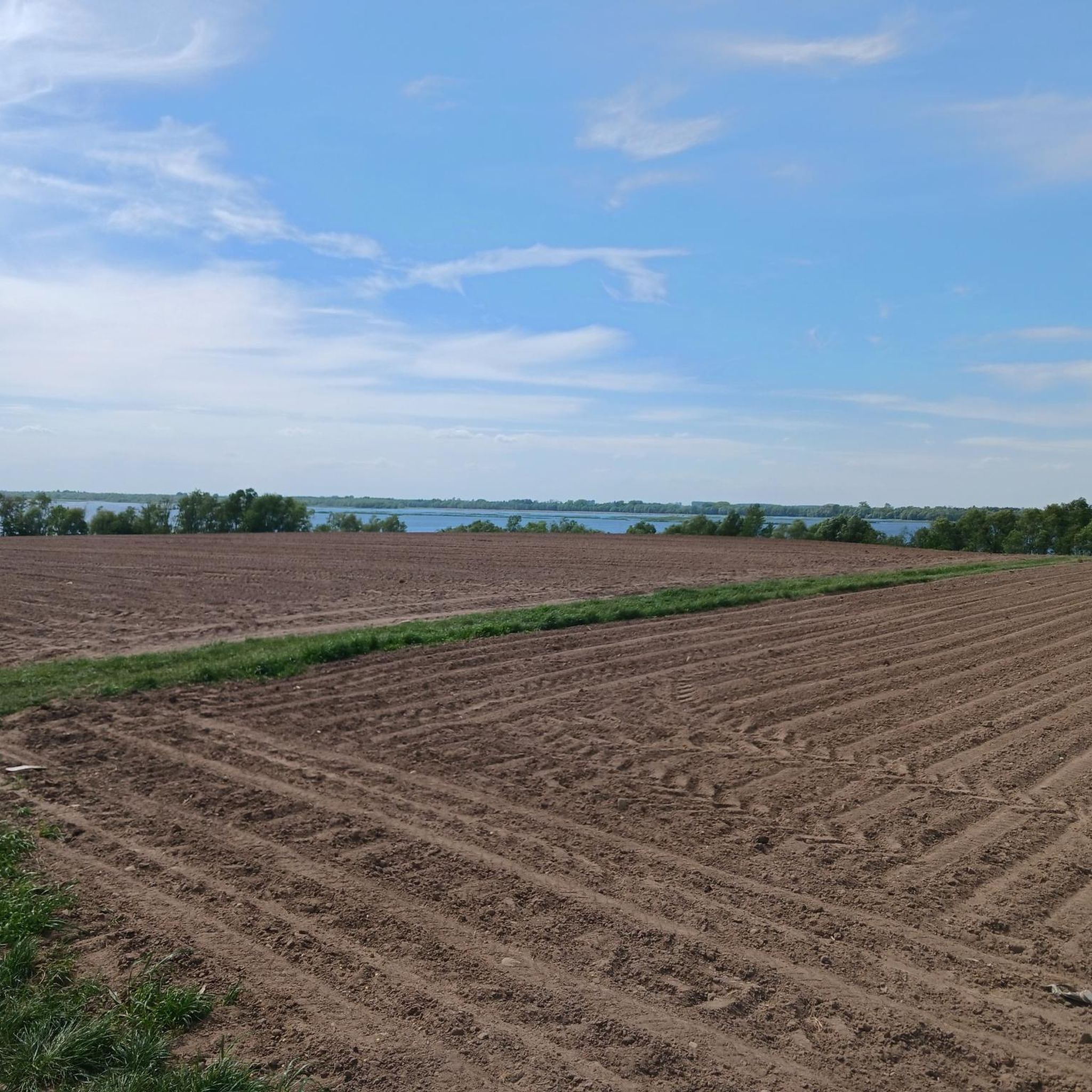
An artificial reservoir created in the second half of the 70s of the 20th century. It is about 4 km long and 500 m wide at its widest point. The reservoir is not very deep - a maximum of 6 m. There are a few wild bathing areas but I would not advise diving in it because it is heavily polluted. Nature is also more interesting on land than in the water.
3
0
Frequently Asked Questions
How many hiking trails are available in gmina Szczytniki?
There are 4 hiking routes documented in gmina Szczytniki on komoot. These include both easy and moderate options, providing a variety of choices for hikers.
Are there easy hiking trails suitable for beginners or families?
Yes, gmina Szczytniki offers several easy hiking trails perfect for beginners or families. For example, the Zbiornik Murowaniec loop from Osuchów is an easy 3.8-mile (6.2 km) path around the reservoir. Another accessible option is the Szałe Reservoir loop from Nędzerzew, which is 4.6 miles (7.5 km) and leads through open landscapes.
Can I find circular hiking routes in gmina Szczytniki?
Circular routes are a defining feature of hiking in gmina Szczytniki. Many trails are designed as loops, often circling local reservoirs. Examples include the Zbiornik Murowaniec loop from Rogal and the Szałe Reservoir – Szałe Dam loop from Zduny, which offer scenic walks around the water bodies.
What kind of landscape can I expect on hikes in gmina Szczytniki?
The landscape in gmina Szczytniki is characterized by gentle, flat terrain and open countryside. Hikes frequently feature loops around local reservoirs, offering pleasant views of water bodies and surrounding natural areas with minimal elevation changes.
Are there any interesting sights or attractions along the hiking trails?
While hiking, you can explore several points of interest in and around gmina Szczytniki. Notable attractions include the End of the World, the historic Church of the Immaculate Conception of the Blessed Virgin Mary in Wojków, and the unique Mural of the Legend of the Wanderer in Godziesze Wielkie. You might also encounter the Falcon 9 Rocket Sculpture loop from gmina Godziesze Wielkie, which offers a distinctive landmark.
What do other hikers say about the trails in gmina Szczytniki?
The trails in gmina Szczytniki are highly regarded by the komoot community, holding an average rating of 4.9 out of 5 stars from over 11 reviews. Hikers often praise the quiet, gentle nature of the routes and the scenic reservoir views.
What are the typical lengths and durations of hikes in the area?
Hikes in gmina Szczytniki typically range from 3.8 miles (6.2 km) to 5.8 miles (9.3 km). Most routes can be completed within 1 hour 30 minutes to 2 hours 30 minutes, depending on your pace and the specific trail.
What is the best time of year to go hiking in gmina Szczytniki?
Given the gentle terrain and open landscapes, hiking in gmina Szczytniki is enjoyable throughout the warmer months, from spring to autumn. These seasons offer pleasant temperatures and lush scenery around the reservoirs. Winter hiking is also possible, though conditions may vary.
Are the trails in gmina Szczytniki suitable for dog walking?
Yes, the flat and open nature of the trails around gmina Szczytniki, particularly the reservoir loops, makes them generally suitable for dog walking. Always ensure your dog is on a leash and follow local regulations regarding pets in natural areas.
Are there accessible hiking options in gmina Szczytniki?
The region's predominantly flat terrain and minimal elevation changes mean that many trails are relatively accessible. Routes like the Zbiornik Murowaniec loop from Osuchów are specifically noted as easy, making them suitable for a wider range of abilities.
Where can I find parking near the trailheads?
Parking availability varies by trailhead. For routes circling reservoirs, you can often find designated parking areas near the starting points, such as those for the Zbiornik Murowaniec or Szałe Reservoir loops. It's advisable to check specific route details on komoot for parking information.
Are there any cafes or places to eat near the hiking trails?
While specific cafes directly on the trails are not highlighted, the region includes small towns and villages where you can find local eateries. For example, Opatówek, near some of the reservoir trails, features the charming Cukierenka Gothic House, which might offer refreshments.
Most popular routes around gmina Szczytniki
Most popular attractions around gmina Szczytniki

Get inspired with the komoot mobile app


Explore more
Browse the best Hikes in other regions.
