The best road cycling routes around Arnold
5.0
(1)
29
riders
4
rides
Road cycling routes around Arnold are situated in the Sierra Nevada foothills, offering diverse terrain for cyclists. The region features rolling hills, scenic byways, and access to higher elevations. Paved roads wind through pine forests and past natural features like the North Fork Stanislaus River. Cyclists can experience varied topography, from moderate climbs to longer, more challenging ascents.
Best road cycling routes around Arnold
- The most popular road cycling route is Spicer Reservoir Rd / SnoPark – Bear Valley Bear…
Last updated: October 1, 2026
5.0
(1)
13
riders
Hard road ride. Very good fitness required. Mostly well-paved surfaces and easy to ride.
7
riders
29.1km
01:47
700m
700m
Moderate road ride. Good fitness required. Mostly well-paved surfaces and easy to ride.

6
riders
Moderate road ride. Good fitness required. Some segments of this route may be unpaved and difficult to ride.
3
riders
22.0km
01:15
420m
420m
Moderate road ride. Good fitness required. Mostly well-paved surfaces and easy to ride.
Our route recommendations are based on thousands of hikes, rides, and runs completed by other people on komoot.
Tips from the Community

Accessible free for bikers, good visitor center with info about history and nature trails, restrooms, drinking water fountains, snack sales. Safe place to leave bikes to explore the walking-only trails.
0
0

Calaveras has two groves of giant sequoia trees, standing out of the conifer forest like the giants they are.
0
0
This river isn't for the faint of heart, but it sometimes draws whitewater enthusiasts eager to whoop it up on five miles of class IV rapids.
0
0
Tall wooden carved bear sculpture carved from massive tree stumps greets visitors at the entrance of Bear Valley.
0
0
Fly-in Lake seems now mostly a meadow-wetland that often dries out except for the center of the creek. It's still a nice clearance and sometimes offers opportunities to observe wildlife.
0
0

The Ebbetts Pass National Scenic Byway is one of only seven nationally designated byways in California and 151 in the nation. It juts up from the heart of the Sierra Nevada with Lake Tahoe and goes on for a 61-mile stretch on Highways 4 and 89, in between the towns of Arnold in Calaveras County and Markleeville in Alpine County. A glorious wilderness drive of glacially carved valleys, granite outcroppings, basalt columns, ancient volcanic peaks and deep rivers. It is simply a stunning ride on a bicycle.
0
0
Scenic campground within a mature conifer forest of red fir and lodgepole pine with scattered quaking aspen. Sites are large, private and shady. Natural granitic rock outcrops are scattered throughout. The campground is located adjacent to Highway 4; some traffic noise may be apparent in individual sites close to the highway. Campground is closed for the season. Bear boxes are available at campground sites. Operational Hours: Campground is open about June-Nov. No Reservations: Big Meadow is a first-come, first-served campground. Fees $19.00 per night. https://www.fs.usda.gov/recarea/stanislaus/recarea/?recid=14841
0
0
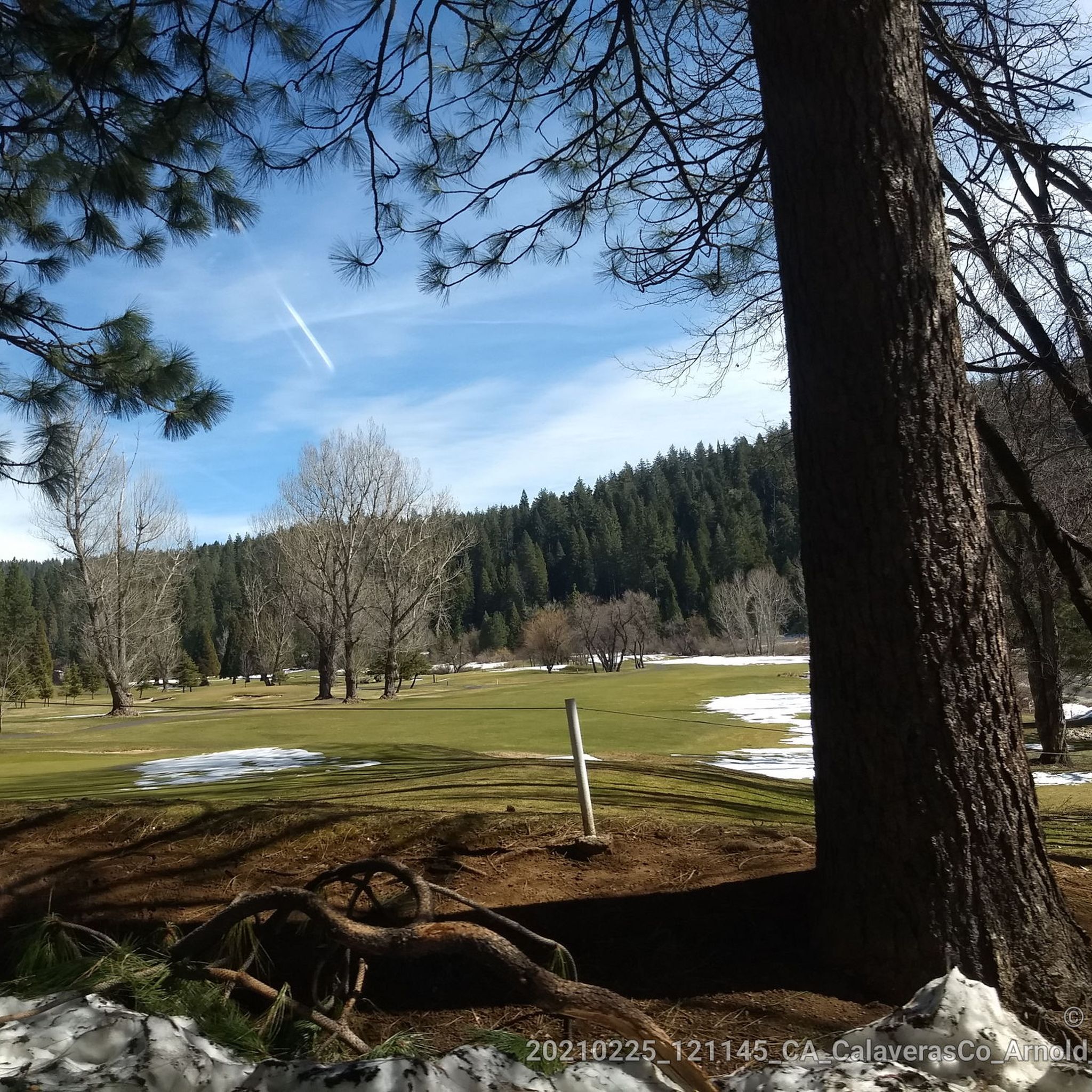
Delightful road to the reservoir. In winter usually only ploughed to the SnoPark area
0
0
Frequently Asked Questions
How many road cycling routes are available around Arnold?
There are 6 road cycling routes around Arnold, offering a variety of experiences for different skill levels. You'll find 5 moderate routes and 1 difficult route.
What kind of terrain can I expect on road cycling routes in Arnold?
Road cycling in Arnold offers a diverse terrain, from rolling hills in the Sierra Nevada foothills to challenging climbs over mountain passes. Routes often feature picturesque mountain scenery and well-maintained roads, with some sections providing significant elevation gains.
Are there any challenging road cycling routes in the Arnold area?
Yes, for experienced cyclists seeking a challenge, the Spicer Reservoir Rd / SnoPark – Bear Valley Bear loop from Calaveras Big Trees State Park Visitor Center is a difficult route covering 72.4 km with over 1200 meters of elevation gain. The region, particularly around Ebbetts Pass, is known for its demanding climbs.
Are there any scenic viewpoints along the road cycling routes?
Absolutely. The region is rich with scenic vistas. The Top Of The World viewpoint, accessible from the Arnold Rim Trail (which can be appreciated from nearby roads), offers panoramic views of Mt. Diablo and the Yosemite Wilderness. Many routes along Highway 4 and Spicer Reservoir Road also provide stunning mountain and lake views.
What natural attractions can I see while road cycling near Arnold?
You can encounter several natural wonders. The Calaveras Big Trees State Park is a highlight, home to giant sequoias like the Big Stump - Discovery Tree (Dancefloor) and Twin Sequoias of South Grove. The North Fork Stanislaus River is also a prominent feature along some routes, offering serene river views.
Are there any loop road cycling routes around Arnold?
Yes, several routes are designed as loops. For example, the North Fork Stanislaus River loop from White Pines is a moderate 29.1 km route, and the Arnold – Fly-In Acres Reservoir loop from White Pines offers a 22 km moderate ride.
What do other road cyclists enjoy most about road cycling in Arnold?
The komoot community rates road cycling in Arnold highly, with an average score of 5.0 stars. Cyclists often praise the stunning natural beauty, the variety of terrain from rolling foothills to challenging mountain passes, and the opportunity to explore iconic areas like Ebbetts Pass and Calaveras Big Trees State Park.
Is the Arnold Rim Trail suitable for road bikes?
The Arnold Rim Trail is primarily a multi-use trail for hiking and mountain biking. While portions might be suitable for robust road bikes, it's generally not recommended for standard road cycling. However, nearby roads offer scenic views that parallel sections of the trail, including access to the Top Of The World viewpoint.
Are there any moderate road cycling routes for those looking for a good workout without extreme difficulty?
Yes, there are several moderate routes. The North Fork Stanislaus River – Calaveras Big Trees State Park loop from Dorrington is a moderate 26.6 km route with over 600 meters of elevation gain, offering a good balance of challenge and scenic beauty.
What is the best season for road cycling in Arnold?
The Sierra Nevada foothills generally offer excellent road cycling conditions from spring through fall. Summer provides warm weather, while spring and autumn bring milder temperatures and beautiful foliage. High-elevation passes like Ebbetts Pass are typically open from late spring to early fall, depending on snow conditions.
Where can I find information about parking for road cycling routes in Arnold?
Parking is often available at key starting points for routes, such as near the Visitors Center Calaveras Big Trees State Park or in towns like White Pines and Dorrington. Specific parking details can often be found in the route descriptions on komoot.
Most popular routes around Arnold
Most popular attractions around Arnold

Get inspired with the komoot mobile app


Explore more
Browse the best Road cycling routes in other regions.
