The best gravel rides around Yorba Linda
4.7
(8)
96
riders
12
rides
Gravel biking around Yorba Linda offers access to an extensive network of multi-use trails within Orange County, California. The region is characterized by rolling hills, varied terrain, and significant natural features like the Santa Ana River and Chino Hills State Park. This topography provides routes ranging from relatively flat paths to more challenging trails with notable elevation changes, catering to diverse gravel biking preferences.
Best gravel bike trails around Yorba Linda
- The most popular gravel bike trail is Fullerton Loop…
Last updated: May 15, 2026
4.8
(5)
26
riders
Hard gravel ride. Very good fitness required. Mostly paved surfaces. Suitable for all skill levels.
9
riders
47.6km
04:40
1,020m
1,020m
Hard gravel ride. Very good fitness required. Mostly paved surfaces. Suitable for all skill levels.

Sign up for free
5.0
(1)
9
riders
46.2km
04:26
980m
980m
Hard gravel ride. Very good fitness required. Mostly paved surfaces. Suitable for all skill levels.
5.0
(1)
11
riders
65.1km
04:24
510m
510m
Hard gravel ride. Very good fitness required. Mostly paved surfaces. Suitable for all skill levels.
12
riders
51.5km
04:09
1,030m
1,030m
Hard gravel ride. Very good fitness required. Mostly paved surfaces. Suitable for all skill levels.
Get access to more routes and recommendations from other explorers.
Sign up for free
Already have an account?
Our route recommendations are based on thousands of hikes, rides, and runs completed by other people on komoot.
Start today with a free account
Your next adventure awaits.
Login or Signup
Tips from the Community

This is the intersection of five trails: Raptor Ridge Trail, North Ridge Trail, Bovinian Delight Trail or Telegraph Canyon Road. There are also some boards with information about the trails and a restroom.
0
0

Bring plenty of water. There only are water fountains midway in Anaheim.
0
0

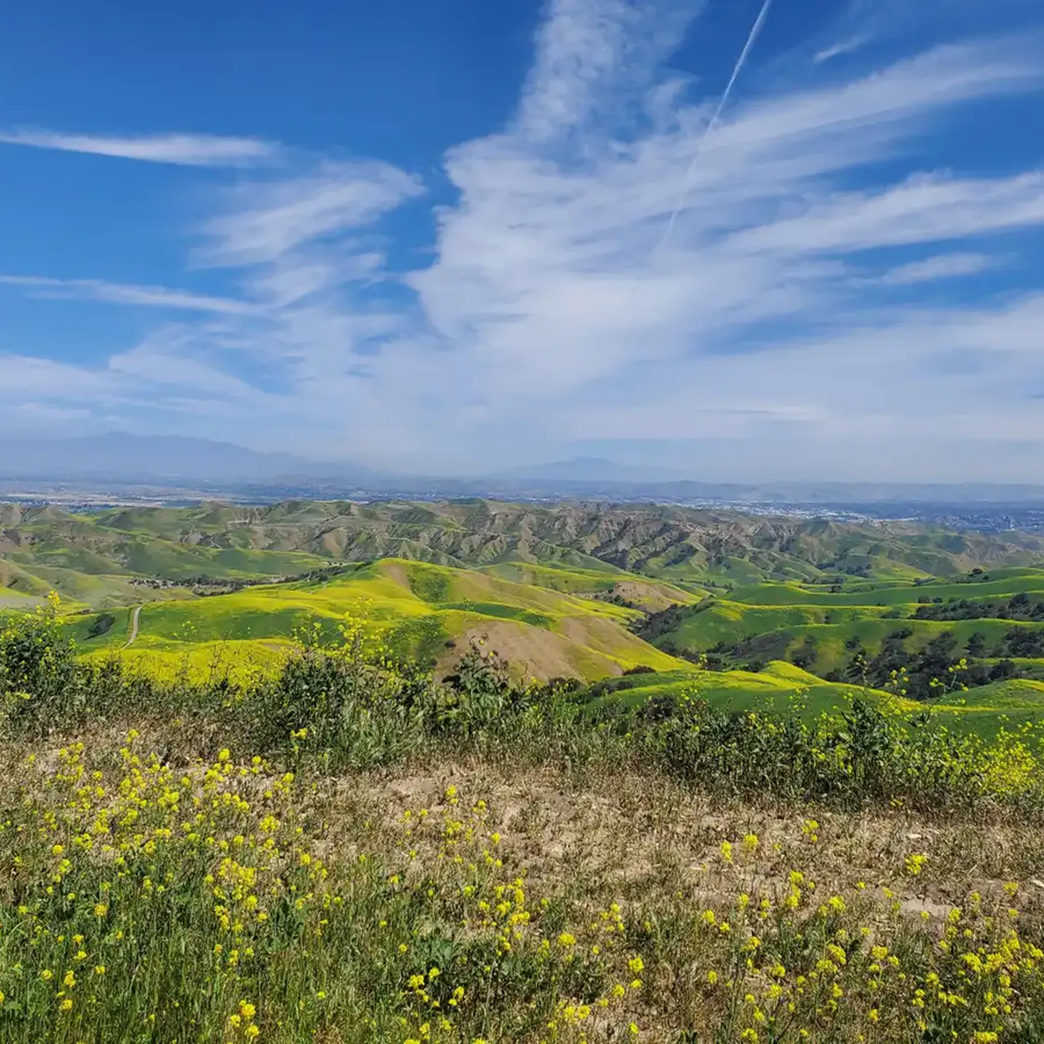
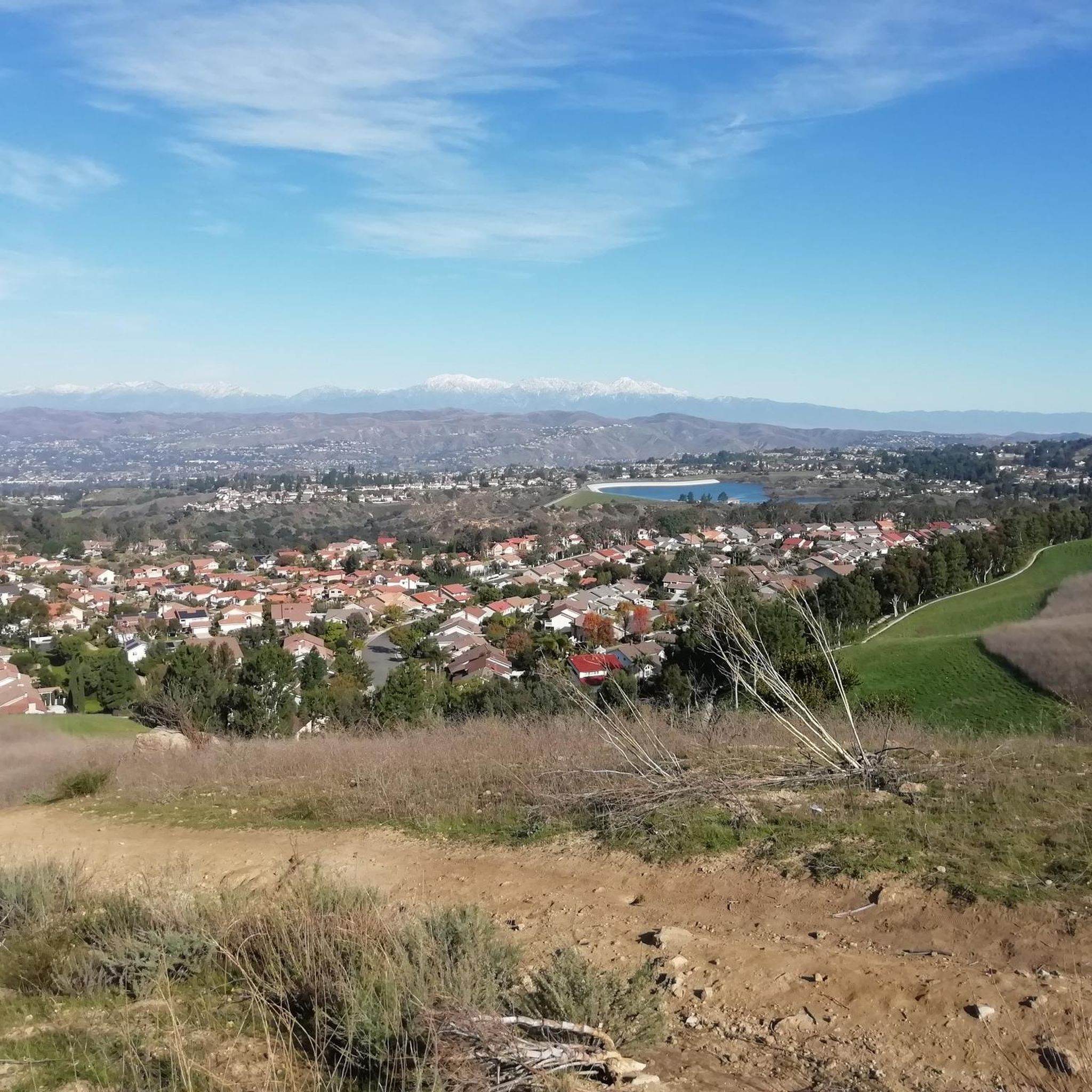
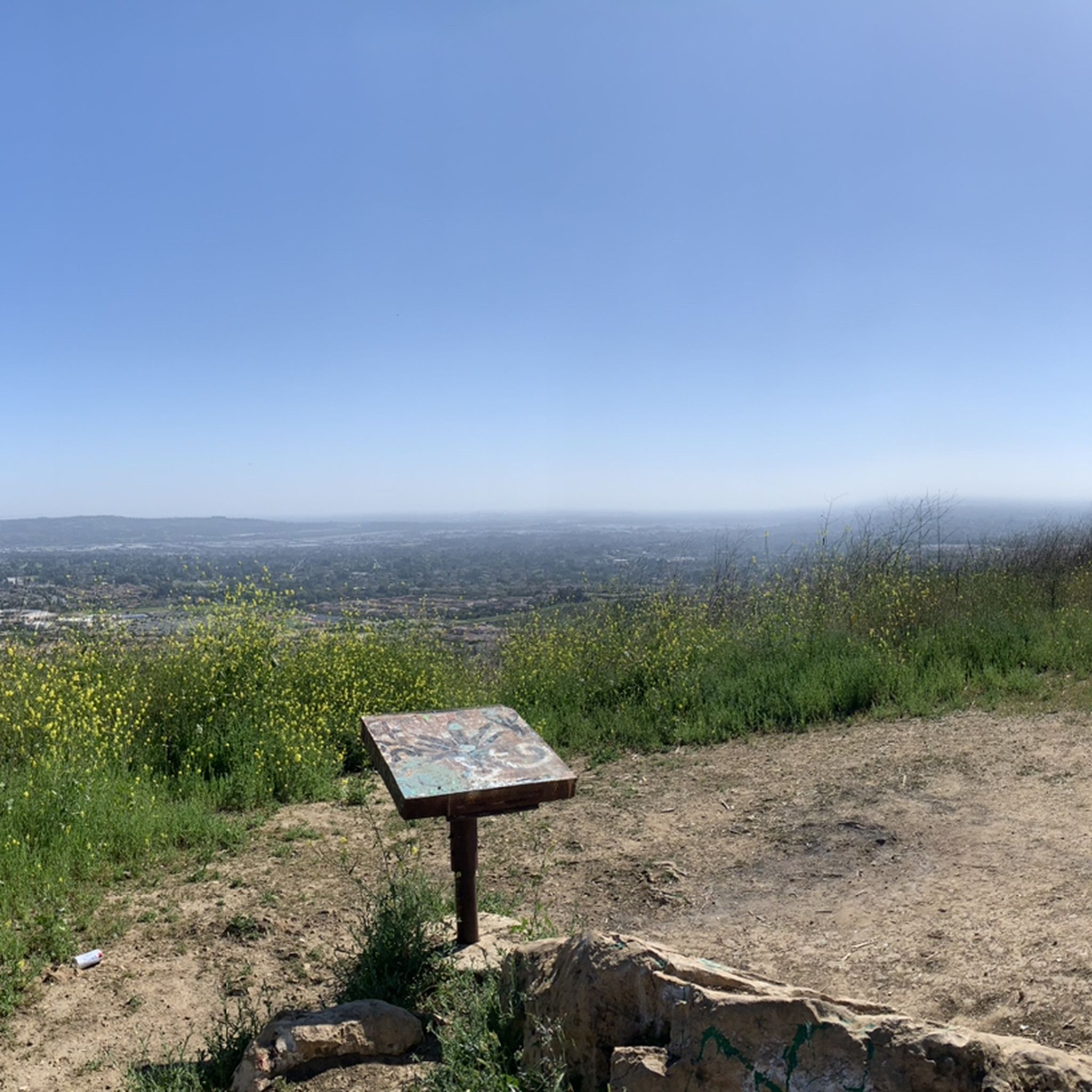
This view of Sierra Peak showcases one of the highest and most easily identifiable peaks in northern Orange County. It stands at 3,045 feet above sea level.
1
0
The Faultline Trail is a mix of dirt singletrack and fire road sections. There are some short, steep climbs and fast descents with loose gravel in places. It is a blue trail with a few sections that may challenge newer riders due to ruts, roots, and tight turns. This trail can get busy with runners and hikers on weekends as well.
1
0

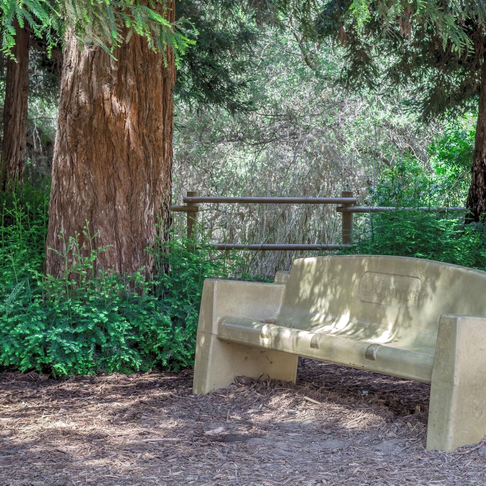
Carbon Canyon Regional Park is a great local park with a small lake and some nature trails featuring Redwoods and the Carbon Canyon Creek. It connects to the Chino Hills State Park and is a great spot for some quick day hiking, fishing, sports, or just sitting and enjoying some nature.
0
0
Nice wooden bridge along the Santa Ana River Trail. It takes you over the river and gives you a good view of the water.
1
0

Set along the edge of the Santa Ana Canyon this park offers visitors a variety of amenities such as sports fields, picnic & BBQ areas, fishing, playgrounds, and more. The Santa Ana Trail runs along the edge of the park and allows you to access other nearby areas as well.
0
0
This area is designated as a wildlife sanctuary for rare and endangered wildlife. It has about 4,500 acres of wild space and open land.
0
0
Frequently Asked Questions
What kind of terrain can I expect on gravel bike trails around Yorba Linda?
The Yorba Linda area is characterized by rolling hills and diverse landscapes. You'll find a mix of relatively flat paths, especially along the Santa Ana River Trail, and more challenging routes with significant elevation changes through canyons and hills. Parks like Chino Hills State Park offer rugged singletrack and challenging climbs, while others provide smoother, multi-use trails.
Are there any easy or beginner-friendly gravel bike trails in Yorba Linda?
Yes, while many routes feature significant climbs, there are options suitable for beginners. The Santa Ana River Trail, for instance, offers generally flat sections that are popular for casual rides. For a moderate experience, consider the Fullerton Loop Trail – Brea Dam loop from Fullerton, which is 10.4 miles long and offers a mix of urban and natural landscapes.
Where can I find challenging gravel biking routes near Yorba Linda?
For more advanced riders seeking a challenge, the region offers several difficult routes with substantial elevation gain. The Four Corners – Telegraph Canyon Trail loop from Country Hills is an 18.1-mile path with over 1,600 feet of climbing. Chino Hills State Park also provides a rugged experience with challenging singletrack trails and breathtaking views from peaks like San Juan Hill and Gilman Peak.
What are some notable natural features or landmarks I can see along the gravel bike trails?
Yorba Linda's trails offer access to several interesting natural features and viewpoints. You can explore the unique Redwood Grove in Carbon Canyon Regional Park, or seek out panoramic views from Sierra Peak Summit or Andersen Bump. Some trails also pass by historical sites like the Native American Grinding Stones.
Are there any trails with waterfalls or unique natural monuments?
Yes, you can find unique natural features. For instance, Black Star Falls is a notable waterfall in the area. Carbon Canyon Regional Park is also home to the distinctive Twisted Tree, a natural monument worth seeing.
What is the best time of year to go gravel biking in Yorba Linda?
Yorba Linda generally enjoys a mild climate, making gravel biking enjoyable for much of the year. Spring and fall offer pleasant temperatures. Summers can be hot, so early morning or late afternoon rides are recommended. Winters are typically mild, though some unpaved sections might be muddy after heavy rains.
Are there any family-friendly gravel biking options in the area?
Many of Yorba Linda's extensive multi-use trails are suitable for families. Yorba Regional Park offers bike paths that connect to the Santa Ana River Trail, providing a mix of green spaces and open areas for casual rides. The generally flat sections of the Santa Ana River Trail are also a good choice for families.
Can I bring my dog on the gravel bike trails around Yorba Linda?
Many multi-use trails in Yorba Linda and surrounding regional parks are dog-friendly, but leash laws and specific park regulations vary. It's always best to check the rules for the specific park or trail you plan to visit beforehand to ensure a pleasant experience for you and your pet.
Are there loop routes available for gravel biking in Yorba Linda?
Yes, many of the gravel routes around Yorba Linda are designed as loops, allowing you to start and end at the same point. Examples include the View of Yorba Linda – Four Corners loop from Carbon Canyon Regional Park, a 29.6-mile route, and the Picnic Rock Viewpoint – Sierra Peak Summit loop from Corona–West.
What do other gravel bikers enjoy most about riding in Yorba Linda?
The gravel biking routes in Yorba Linda are highly rated by the komoot community, with an average score of 4.8 stars. Reviewers often praise the diverse terrain, from rolling hills to challenging climbs, and the extensive network of multi-use trails that offer scenic views of the surrounding mountains and valleys.
Where can I find information about parking for gravel bike trailheads?
Many regional parks and trail access points in and around Yorba Linda offer dedicated parking facilities. For example, Carbon Canyon Regional Park, Yorba Regional Park, and Chino Hills State Park all have parking available. Specific trailhead parking information is often detailed on individual route pages on Komoot or on the respective park websites.
Are there any long-distance gravel cycling routes near Yorba Linda?
Yes, the extensive trail system in Yorba Linda connects to a broader regional network, allowing for longer rides. The Santa Ana River Trail, for instance, extends beyond Yorba Linda, offering the potential for extended cycling adventures. Routes like the View of Yorba Linda – Four Corners loop from Carbon Canyon Regional Park, at nearly 30 miles, provide a significant distance challenge within the local area.
Most popular routes around Yorba Linda
Most popular attractions around Yorba Linda

Get inspired with the komoot mobile app


Explore more
Browse the best Gravel rides in other regions.
