The best cycling routes around Avenue B And C
20
riders
7
rides
Touring cycling routes around Avenue B And C primarily feature flat terrain alongside the Colorado River and its associated levee paths and canals. The landscape is characterized by open areas, water features, and wetlands, offering accessible cycling experiences. These routes generally present minimal elevation changes, making them suitable for various skill levels. The region's environment provides a consistent setting for easy-going touring cycling.
Best touring cycling routes around Avenue B And C
- The most popular touring cycling route is Yuma Crossing Bike Path (Colorado River Levee Multi-Use Path) Figure-8, a 6.9 miles (11.1 km) trail that takes about 50 minutes to complete. This route follows the Colorado River and its levee, offering consistent, flat surfaces.
- Another top favourite among local touring cyclists is East Main Canal and Colorado River Loop, an easy 13.7 miles (22.1 km) path. This route combines canal-side riding with sections along the Colorado River, providing varied water views.
- Local touring cyclists also love the East Main Canal Path Loop, a 13.0 miles (21.0 km) trail leading through canal-side landscapes, often completed in about 1 hour 13 minutes.
- Touring cycling around Avenue B And C is defined by river paths, levee trails, and canal routes. The network offers options for different ability levels, with all routes being easy.
- The guide includes highly-rated routes that showcase the best of the region's landscape. More than 18 touring cyclists have used komoot to explore Avenue B And C's varied terrain.
Last updated: May 15, 2026
5
riders
Yuma Crossing Bike Path Figure-8 is an easy 6.9-mile touring cycling route along the Colorado River with historical sites.
1
riders
21.0km
01:13
60m
60m
This easy 13.0-mile touring cycling loop in Yuma offers canal-side riding, historical sights, and a mix of urban and natural scenery.

Sign up for free
22.1km
01:23
70m
70m
This easy 13.7-mile touring cycling loop in Yuma, Arizona, combines scenic Colorado River views with historical insights along the East Main
5.09km
00:27
10m
10m
Cycle the easy 3.2-mile East Wetlands Interpretive Trail loop in Yuma for river views, wildlife, and historical landmarks.
10.1km
00:47
40m
40m
Cycle the easy 6.3-mile East Wetlands & South Redondo loop in Yuma, enjoying riparian scenery and birdwatching along the Colorado River.
Get access to more routes and recommendations from other explorers.
Sign up for free
Already have an account?
Our route recommendations are based on thousands of hikes, rides, and runs completed by other people on komoot.
Start today with a free account
Your next adventure awaits.
Login or Signup
Popular around Avenue B And C
Tips from the Community

This section of the Colorado River Levee Multi-Use Path (also known as Yuma Crossing Bike Path) takes you past vital wetlands on a smooth, well-graded gravel path. This is a great bit of riding through an important ecosystem just east of downtown Yuma.
0
0

Massive Prison complex dating back to the US military fort and establishment in the 19th century
0
0
Historic resting place of some well-known characters from the founding period of the state, as well as many military graves added later.
0
0
Main Street running North-South through Downtown is now a slow street of stores and restaurants, framed by a gateway arch on either side
0
0
Downtown Yuma, Arizona, features several well-preserved buildings that date back to the late 19th and early 20th centuries. Along Main Street, you can explore a variety of shops and galleries, and eat out at a variety of local restaurants. The Colorado River, which runs alongside downtown, provides scenic views and opportunities for outdoor activities like riverside strolls or rides down any one of the several greenways.
0
0
Yuma Territorial Prison State Historic Park in Arizona preserves a notorious 19th-century prison. Established in 1876, it housed over 3,000 inmates in its 33-year history and was known for harsh conditions. Visitors can tour cellblocks, the guard tower, and museum exhibits detailing prison life. The park offers insights into the Old West's justice system and Arizona's frontier history in late 19th and early 20th centuries, making it a fascinating destination for history enthusiasts.
1
0

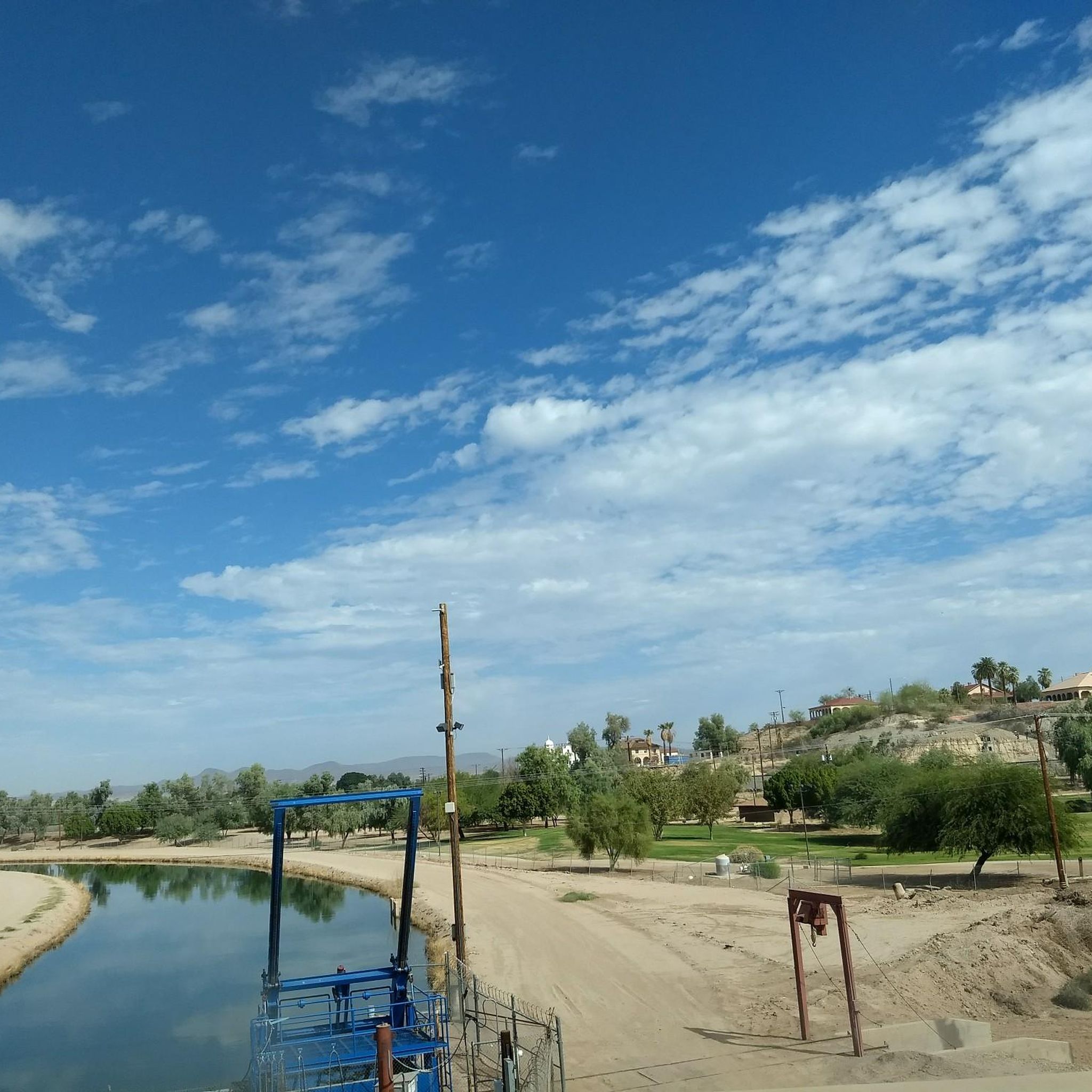
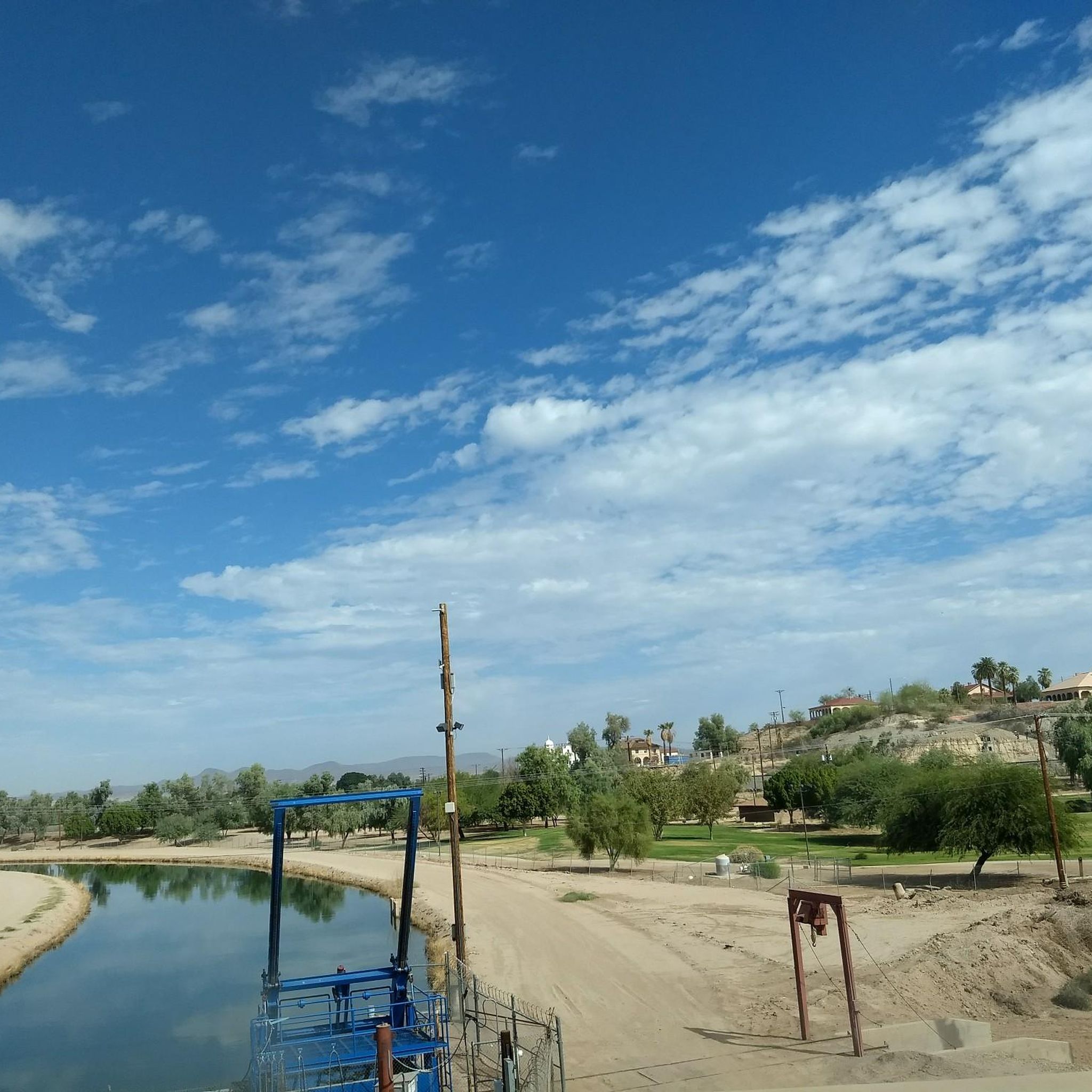
Constructed in 1915, the Yuma Project built canals to help irrigate homes and farms in the desert area of Yuma. Later, this trail was created for outdoor enthusiasts to enjoy the views and sounds of water meandering along the canal for nearly 6-miles.
0
0
The Colorado River State Historic Park, located in Yuma, Arizona, preserves the area's rich history tied to the Colorado River. Formerly known as the Quartermaster Depot Historic Park, it encompasses the historic Yuma Crossing, a vital river crossing point historically used by Native American tribes, Spanish explorers, and pioneers traveling westward. The park features restored adobe buildings, including the iconic Yuma Quartermaster Depot, which served as a supply base for frontier military posts. Exhibits and guided tours offer insights into the region's role in transportation, communication, and military operations during the late 19th and early 20th centuries.
1
0
Frequently Asked Questions
What kind of terrain can I expect on touring cycling routes around Avenue B And C?
Touring cycling routes in this area primarily feature flat terrain. You'll mostly be riding alongside the Colorado River, its associated levee paths, and canals. The landscape is characterized by open areas, water features, and wetlands, offering a consistent setting for easy-going cycling.
Are the touring cycling routes around Avenue B And C suitable for beginners or families?
Yes, all touring cycling routes around Avenue B And C are classified as easy. They present minimal elevation changes, making them highly suitable for beginners, families, and cyclists of various skill levels looking for a relaxed ride.
What are some of the longer touring cycling routes available?
For a longer ride, consider the East Main Canal and Colorado River Loop, which is 13.7 miles (22.1 km) long. Another excellent option is the East Main Canal Path Loop, covering 13.0 miles (21.0 km).
Are there any circular touring cycling routes in the area?
Yes, several routes are designed as loops, perfect for starting and ending at the same point. Popular circular routes include the East Main Canal and Colorado River Loop, the East Main Canal Path Loop, and the shorter East Wetlands Interpretive Trail loop.
What kind of surfaces can I expect on the bike trails?
The routes primarily follow river paths, levee trails, and canal routes. These typically offer consistent, flat surfaces suitable for touring bicycles, ensuring a smooth and enjoyable ride.
What can I see along the touring cycling routes around Avenue B And C?
You can explore several interesting points along the routes. Consider visiting the Yuma Territorial Prison State Historic Park or the Colorado River State Historic Park for a glimpse into the region's past. Nature lovers will enjoy the Yuma East Wetlands and West Wetlands Park.
Are there any routes that specifically showcase the wetlands?
Yes, the East Wetlands Interpretive Trail loop is a great option for experiencing the wetlands. Another route that incorporates these natural areas is the East Wetlands & South Redondo loop.
What is the shortest touring cycling route available?
The shortest touring cycling route is the East Wetlands Interpretive Trail loop, which is 3.2 miles (5.1 km) long and takes approximately 27 minutes to complete.
How many touring cycling routes are there in Avenue B And C?
There are 7 touring cycling routes available in the Avenue B And C area, all of which are classified as easy.
What do other touring cyclists enjoy the most about cycling in Avenue B And C?
The komoot community frequently praises the easy, flat terrain and the scenic views along the Colorado River and canals. Cyclists appreciate the accessibility of the routes, making them ideal for a relaxed and enjoyable touring experience.
Are there any specific routes that follow the Colorado River closely?
Absolutely. The Yuma Crossing Bike Path (Colorado River Levee Multi-Use Path) Figure-8 follows the Colorado River and its levee, offering consistent river views. The East Main Canal and Colorado River Loop also includes significant sections along the river.
Most popular routes around Avenue B And C
Most popular attractions around Avenue B And C

Get inspired with the komoot mobile app


Explore more
Browse the best Cycling routes in other regions.
