The best road cycling routes in Monongahela National Forest
97
riders
17
rides
Road cycling in Monongahela National Forest offers routes through the rugged Allegheny Mountains in eastern West Virginia. The forest features an extensive network of backwoods roads and former railroad grades, providing diverse terrain for cyclists. Elevations range significantly, including challenging climbs and scenic descents, with the highest point being Spruce Knob at 4,863 feet. The landscape is characterized by dense forests, river valleys, and dramatic landforms like the Allegheny Front.
Best road cycling routes in Monongahela National Forest
- The most…
Last updated: August 7, 2026
16
riders
23.9km
01:25
590m
590m
Moderate road ride. Good fitness required. Mostly well-paved surfaces and easy to ride.
19
riders
25.0km
01:32
610m
610m
Moderate road ride. Good fitness required. Mostly well-paved surfaces and easy to ride.

Sign up for free
10
riders
32.0km
02:03
650m
650m
Moderate road ride. Good fitness required. Some segments of this route may be unpaved and difficult to ride.
7
riders
7.30km
00:24
120m
120m
Easy road ride. Great for any fitness level. Mostly well-paved surfaces and easy to ride.
6
riders
31.8km
02:02
930m
930m
Hard road ride. Very good fitness required. Mostly well-paved surfaces and easy to ride.
Get access to more routes and recommendations from other explorers.
Sign up for free
Already have an account?
Our route recommendations are based on thousands of hikes, rides, and runs completed by other people on komoot.
Start today with a free account
Your next adventure awaits.
Login or Signup
Popular around Monongahela National Forest
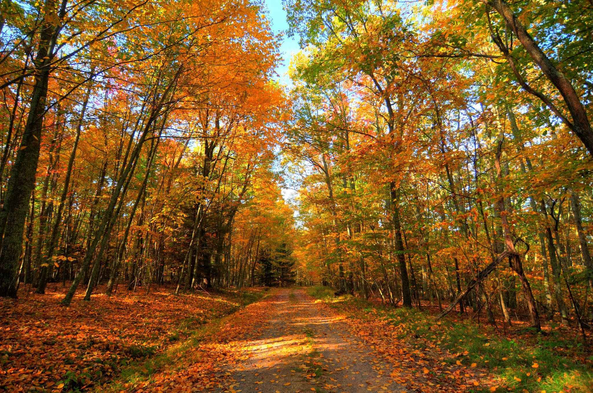
Greenbrier River & Allegheny Highlands loop — Cycling through the heart of West Virginia’s wild beauty
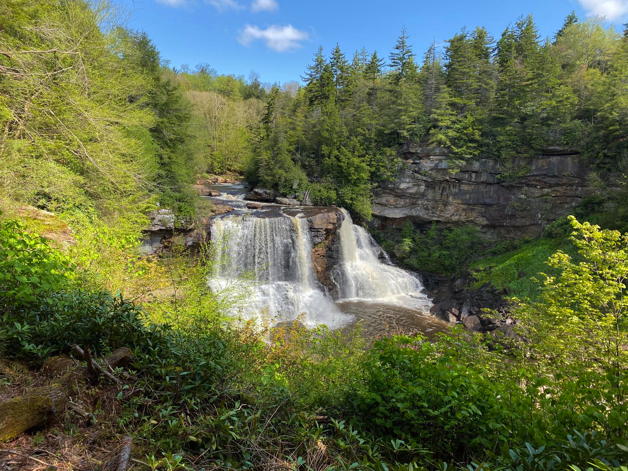
Allegheny Trail — A remote Appalachian adventure
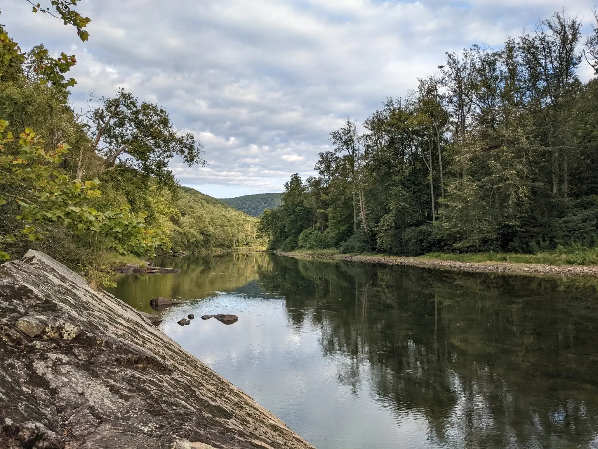
Greenbrier River Trail — Biking West Virginia's Longest Rail Trail
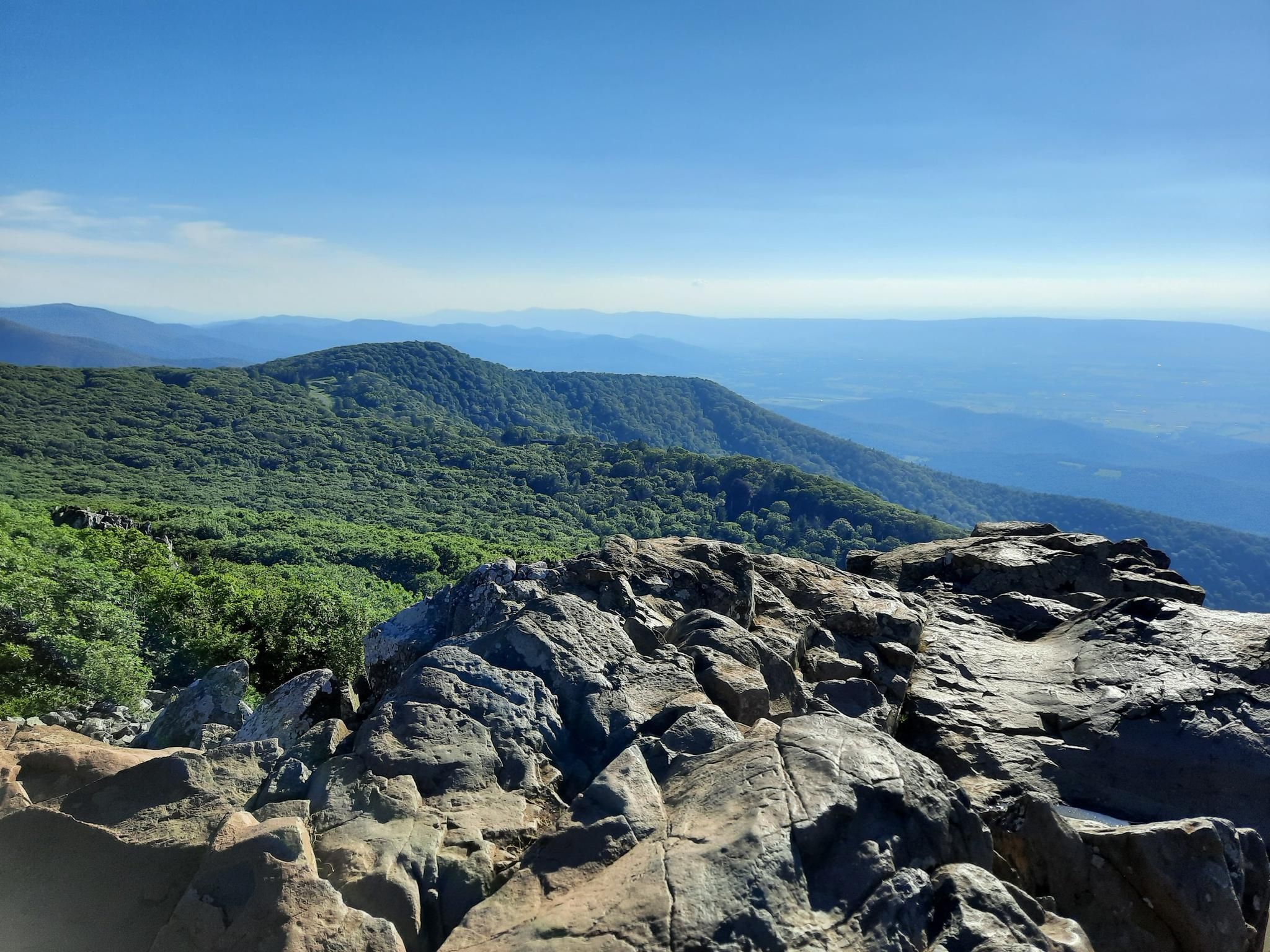
Stunning views, waterfalls and adventures in northeast USA
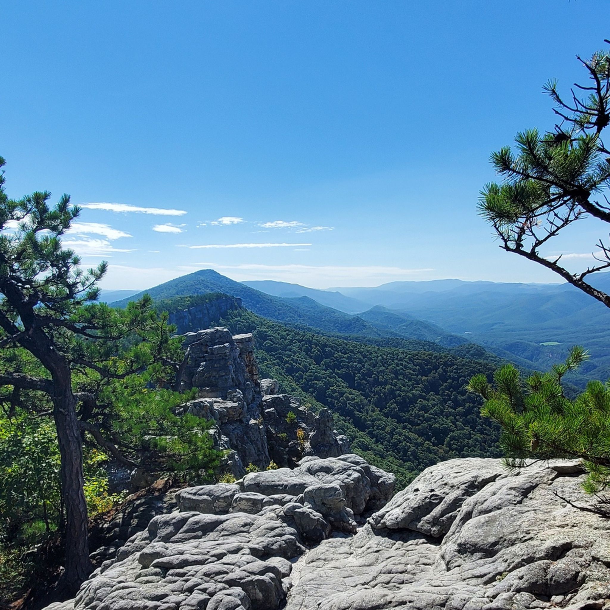
Hiking in Monongahela National Forest
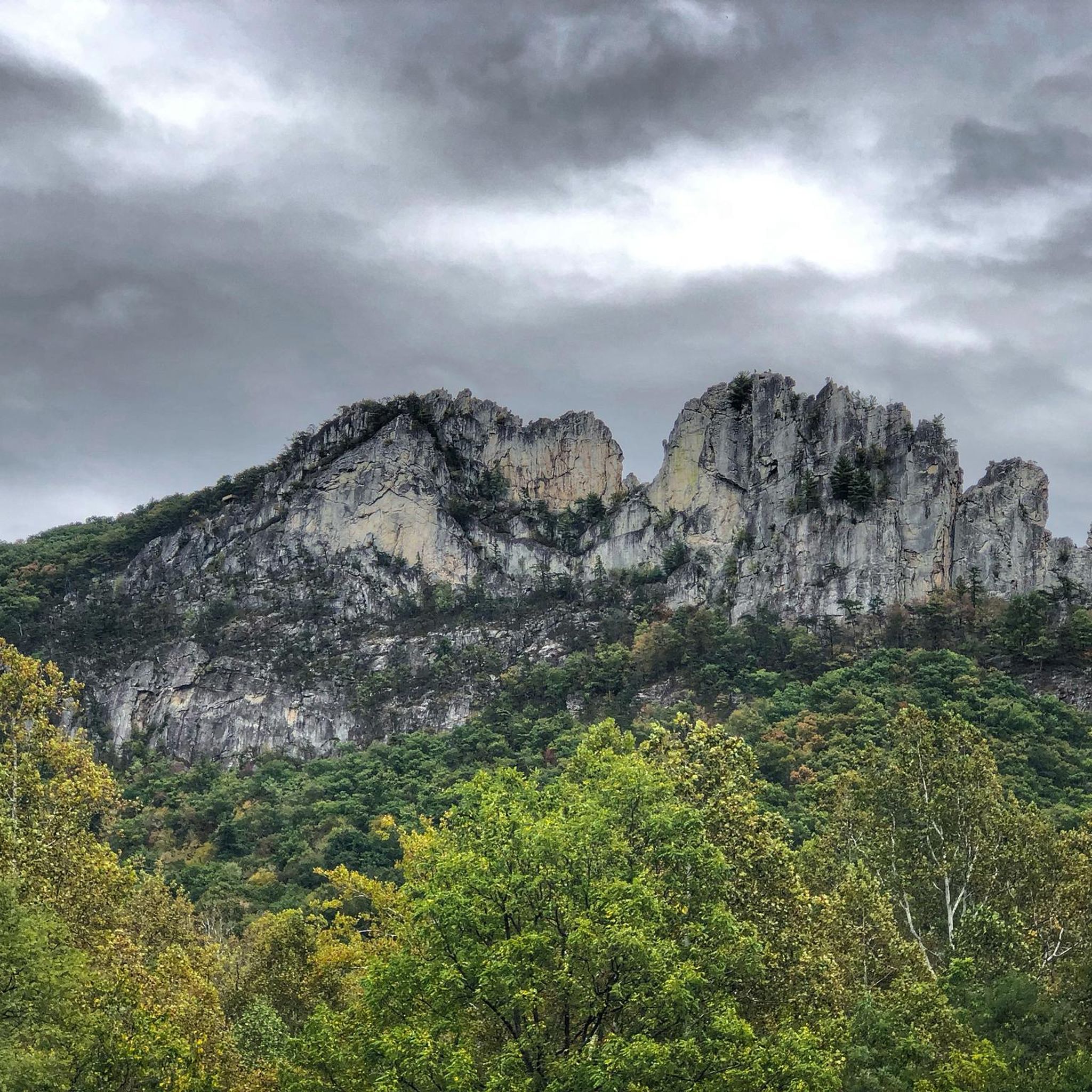
MTB Trails in Monongahela National Forest
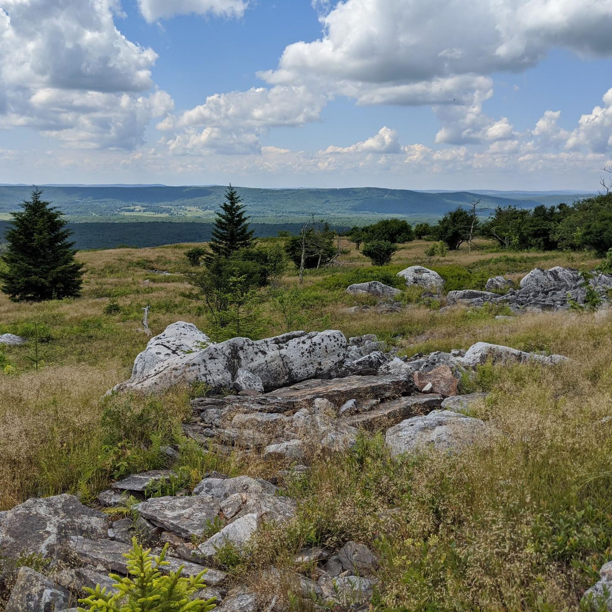
Cycling in Monongahela National Forest

Gravel biking in Monongahela National Forest
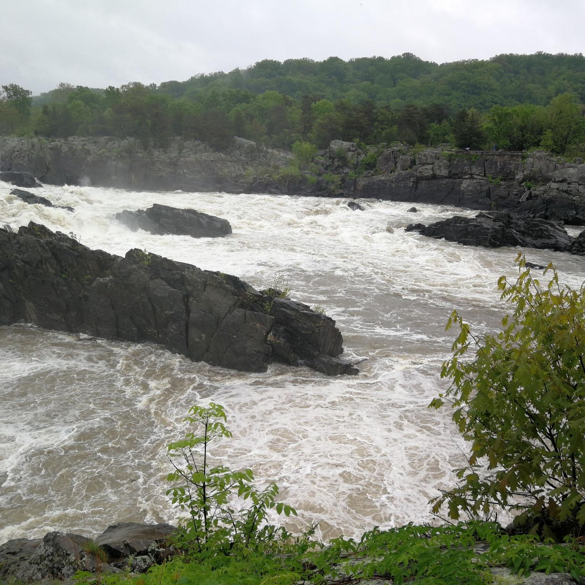
Running Trails in Monongahela National Forest
Other adventures in Monongahela National Forest


Tips from the Community

This is the site of the former company town called Cass. It was owned by the West Virginia Pulp and Paper Company and used as a home base for the men who worked in the nearby mountains. Now, the site is open to visitors to come and learn more about the town and the industry that used to dominate the area. There are also locomotive rides available.
1
0

With an elevation of 4,863 feet Spruce Knob is the highest point in West Virginia. The observation tower offers amazing views over the Appalachians – it's worth walking up the steps of the tower!
0
0

The Whispering Spruce trail is an easy half a mile round, taking you past an observation tower and several good view points over the nearby valleys and ridges. Spruce Knob is the highest point in West Virginia, at 4863ft/1482m. The observation tower is accessible via stairs and opens up to a large platform on top. View is restricted by some of the trees around the tower, there is a much better view further down the trail. Trail is very easy, mainly gravel. No special hiking shoes required.
0
0

The entrance to this moderately difficult 2.2mi blue trail can be a bit tough to spot as the markers are a bit weathered. The trail is between Shavers Road and Upper Spruce Road, running between the trees to the right of the warning sign with a couple blue blazes a bit further in.
0
0
Frequently Asked Questions
How many road cycling routes are available in Monongahela National Forest?
Monongahela National Forest offers a diverse selection of over 15 road cycling routes. These routes vary in difficulty, ranging from easy loops to challenging mountain climbs, ensuring options for different skill levels.
What kind of terrain can I expect on road cycling routes in Monongahela National Forest?
Road cycling in Monongahela National Forest primarily features mountainous terrain within the Allegheny Mountains. You can expect significant elevation changes, including challenging climbs and scenic descents. The routes often follow backwoods roads and former railroad grades, winding through dense forests and river valleys.
Are there any easy or family-friendly road cycling routes in the forest?
Yes, there are routes suitable for easier rides. For example, the Snowshoe Bike Park loop from Snowshoe is an easy 8.2-kilometer route with minimal elevation gain, making it a good option for a more relaxed ride.
What are some notable landmarks or viewpoints I can see while road cycling?
The forest is rich with natural beauty and landmarks. You can cycle towards the state's highest point, Spruce Knob, which offers awe-inspiring views from the Spruce Knob Observation Tower. Other viewpoints like Rocky Knob and Table Rock Overlook also provide stunning vistas of the surrounding mountains and valleys.
Can I find waterfalls along road cycling routes in Monongahela National Forest?
While many waterfalls require a short hike off the main roads, some are accessible or nearby. The Blackwater Falls, a prominent amber-colored waterfall, is located in the nearby Blackwater Falls State Park and can be a picturesque stop if your route passes close to the area. Other falls like Elakala Falls are also within the wider forest region.
What is the best time of year for road cycling in Monongahela National Forest?
The best time for road cycling is generally from late spring through early autumn. During these months, the weather is milder, and the forest is vibrant with foliage. Summer offers warm temperatures, while autumn provides spectacular fall colors, making for a very scenic ride. Always check local weather conditions before heading out, especially for higher elevations.
Are there any challenging routes for experienced road cyclists?
Absolutely. For experienced cyclists seeking a challenge, routes like the Spruce Knob Observation Tower loop from Judy Rocks offer a difficult 38.5-kilometer ride with significant elevation gain, leading through demanding mountain terrain to the highest point in West Virginia.
What do other road cyclists enjoy most about cycling in Monongahela National Forest?
The komoot community highly rates the road cycling experience in Monongahela National Forest. Cyclists often praise the challenging mountainous terrain, the dense and beautiful forests, and the quiet, scenic backroads that offer a true escape into nature. The diverse network of routes provides options for various ability levels, from moderate loops to difficult climbs.
Are e-bikes permitted on road cycling routes in Monongahela National Forest?
Yes, Class 1, 2, and 3 e-bikes are permitted on roads open to motorized vehicles within Monongahela National Forest. This enhances accessibility for a wider range of cyclists, allowing more people to enjoy the forest's scenic beauty and varied terrain.
Where can I find parking for road cycling routes in Monongahela National Forest?
Parking is generally available at various access points and trailheads throughout the Monongahela National Forest. Specific parking information can often be found on individual route pages or by consulting local forest service maps. Many routes, like the Roadbike loop from Linwood, start from locations with designated parking areas.
Are there any circular road cycling routes available?
Yes, many of the road cycling routes in Monongahela National Forest are designed as loops, allowing you to start and end at the same point. Examples include the Slide Run East Trailhead loop from Waffle Cabin and the Imboden Knob loop from Randolph County, which offer varied distances and difficulties.
Most popular routes in Monongahela National Forest
Most popular attractions in Monongahela National Forest

Get inspired with the komoot mobile app


Explore more
Browse the best Road cycling routes in other regions.
