The best road cycling routes around Pictou, Subd. B
16
riders
5
rides
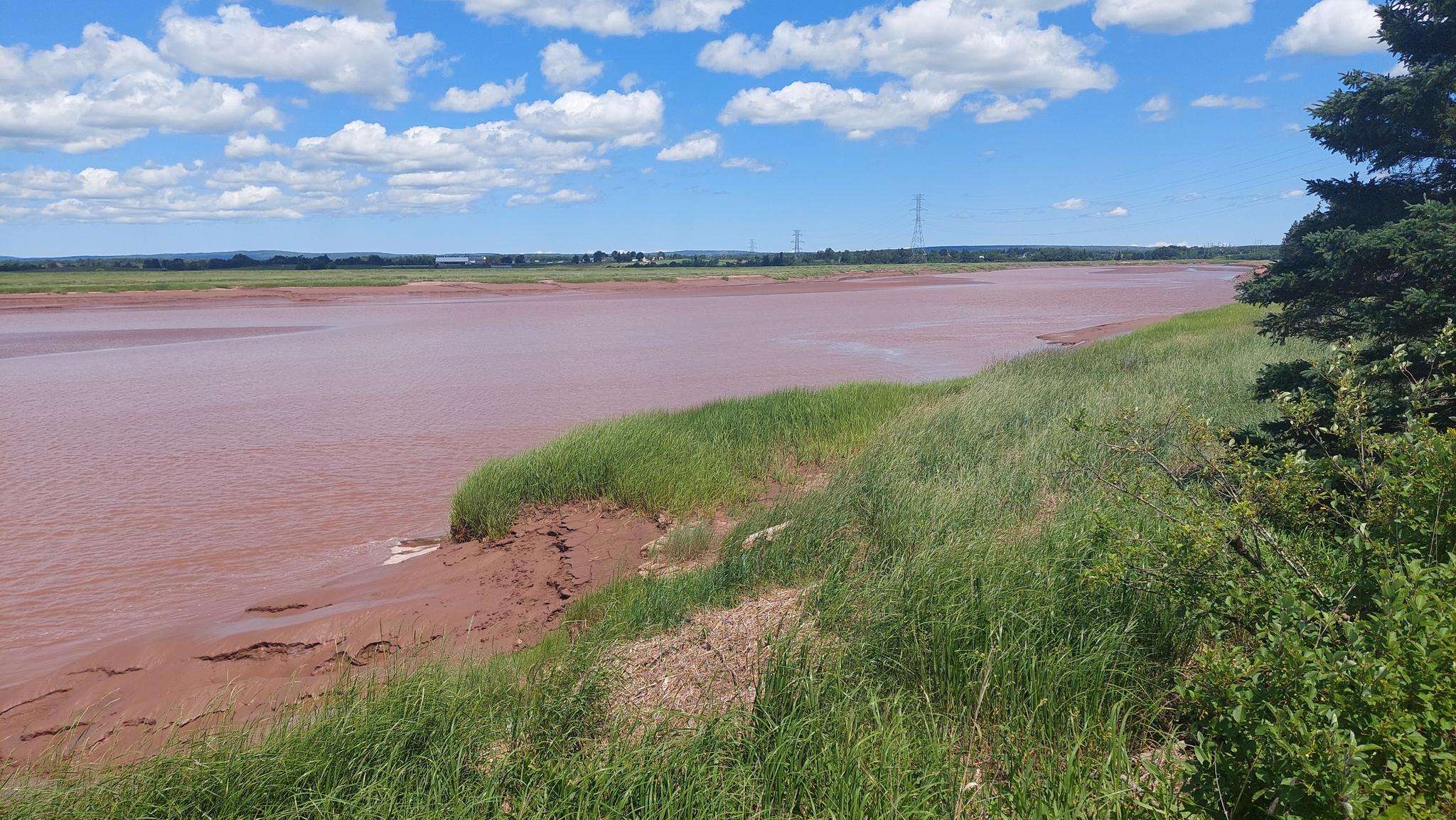
Road cycling routes around Pictou, Subd. B, located along Nova Scotia's Northumberland Shore, offer diverse terrain for cyclists. The region features coastal vistas, rolling hills, and mixed forests, providing varied landscapes for road cycling. Rivers and harbors characterize the area, with routes often showcasing these natural features. The network includes designated road cycling routes and multi-use trails suitable for different fitness levels.
Best road cycling routes around Pictou, Subd. B
- The most popular road cycling route is Roadbike loop from…
Last updated: July 24, 2026
3
riders
28.3km
01:33
230m
230m
Easy road ride. Great for any fitness level. Mostly well-paved surfaces and easy to ride.
3
riders
85.8km
03:53
500m
500m
Moderate road ride. Good fitness required. Mostly well-paved surfaces and easy to ride.

Sign up for free
3
riders
25km
01:22
190m
190m
Easy road ride. Great for any fitness level. Mostly well-paved surfaces and easy to ride.
3
riders
27.7km
01:19
250m
250m
Easy road ride. Great for any fitness level. Mostly well-paved surfaces and easy to ride.
1
riders
95.7km
04:34
850m
850m
Moderate road ride. Good fitness required. Mostly well-paved surfaces and easy to ride.
Our route recommendations are based on thousands of hikes, rides, and runs completed by other people on komoot.
Start today with a free account
Your next adventure awaits.
Login or Signup
Popular around Pictou, Subd. B

Other adventures around Pictou, Subd. B

Frequently Asked Questions
How many road cycling routes are available in Pictou, Subd. B?
Komoot features 5 road cycling routes in Pictou, Subd. B, offering a variety of options for different skill levels and preferences.
What is the typical length and duration of road cycling routes in Pictou, Subd. B?
Road cycling routes in Pictou, Subd. B vary in length, from shorter rides like the Roadbike loop from Victory Heights at 25.0 km (1 hour 21 minutes) to longer excursions such as the Huggans Gut loop from Town of Stellarton, which is 95.7 km and takes approximately 4 hours 34 minutes.
Are there easy road cycling routes suitable for beginners or families in Pictou, Subd. B?
Yes, Pictou, Subd. B offers easy road cycling routes. The Roadbike loop from Victory Heights (25.0 km) and the Little Gut loop from Town of Stellarton (27.8 km) are both rated as easy, providing pleasant rides through local roads.
What kind of terrain can I expect on road cycling routes in Pictou, Subd. B?
The region offers diverse terrain, including scenic coastal areas along the Northumberland Strait, rolling hills, and mixed forests. While many routes feature well-paved surfaces, some segments might include unpaved sections, especially if connecting to multi-use trails like the Short Line Trail.
Are there any multi-use trails in Pictou, Subd. B suitable for cycling?
Absolutely. Beyond dedicated road routes, you can explore multi-use trails. The Jitney Walking Trail along the Pictou waterfront offers a paved section, and the Short Line Trail, part of the Trans Canada Trail, provides a longer compacted gravel path suitable for hybrid or mountain bikes, stretching along the Northumberland Shore.
What are some scenic viewpoints or natural attractions along the road cycling routes?
Many routes offer coastal vistas of the Northumberland Strait. You'll encounter picturesque harbors like Pictou Harbour and Tatamagouche Bay, and pass through areas with rolling hills and forests. While specific viewpoints aren't always marked on road routes, the general scenery is a highlight.
When is the best time of year for road cycling in Pictou, Subd. B?
The summer months are ideal for road cycling in Pictou, Subd. B. The region is known for its warm saltwater and pleasant weather, making it comfortable for rides along the coast and through the countryside.
Are there any longer, more challenging road cycling routes for experienced riders?
Yes, for experienced riders seeking a longer challenge, the Huggans Gut loop from Town of Stellarton is a moderate 95.7 km route with significant elevation gain, offering a more demanding ride through varied landscapes and rolling hills.
What types of landscapes will I see while cycling in Pictou, Subd. B?
You'll experience a rich tapestry of landscapes, from the picturesque Northumberland Strait coastline with its sandy beaches and warm waters to inland areas featuring rolling hills, mixed forests, and rivers like the East, West, and Middle Rivers. Harbors such as Pictou Harbour also define the area's character.
Can I find circular road cycling routes in Pictou, Subd. B?
Yes, all the road cycling routes listed in this guide are circular loops, allowing you to start and end your ride at the same point. Examples include the Roadbike loop from Loch Broom and the Roadbike loop from Town of Pictou.
What do other cyclists say about road cycling in Pictou, Subd. B?
Over 10 road cyclists have used komoot to explore Pictou, Subd. B's varied terrain. They often praise the diverse landscapes, from coastal views to rolling hills, and the options available for different ability levels.

Get inspired with the komoot mobile app


Explore more
Browse the best Road cycling routes in other regions.
