The best running trails around Rembercourt-Sommaisne
45
runners
13
runs
Jogging around Rembercourt-Sommaisne offers a natural environment with varied topography and waterways in France's Grand Est region. The commune is characterized by its location in the hollow of the Aisne river and is partly bordered by the Chée river, providing scenic routes alongside water features. With an elevation ranging from 223m to 307m, the landscape includes gentle inclines and descents, adding variety to running routines. This rural area is rich in vegetation, offering open spaces ideal for exploration.
Best jogging…
Last updated: May 14, 2026
6
runners
4.55km
00:33
20m
20m
Easy run. Great for any fitness level. Mostly paved surfaces. Suitable for all skill levels.
5
runners
5.35km
00:35
30m
30m
Moderate run. Good fitness required. Mostly paved surfaces. Suitable for all skill levels.

Sign up for free
4
runners
4.90km
00:33
30m
30m
Easy run. Great for any fitness level. Mostly paved surfaces. Suitable for all skill levels.
3
runners
9.44km
00:59
60m
60m
Moderate run. Good fitness required. Mostly paved surfaces. Suitable for all skill levels.
3
runners
9.19km
01:01
80m
80m
Moderate run. Good fitness required. Mostly paved surfaces. Suitable for all skill levels.
Get access to more routes and recommendations from other explorers.
Sign up for free
Already have an account?
Our route recommendations are based on thousands of hikes, rides, and runs completed by other people on komoot.
Start today with a free account
Your next adventure awaits.
Login or Signup
Popular around Rembercourt-Sommaisne

Tips from the Community

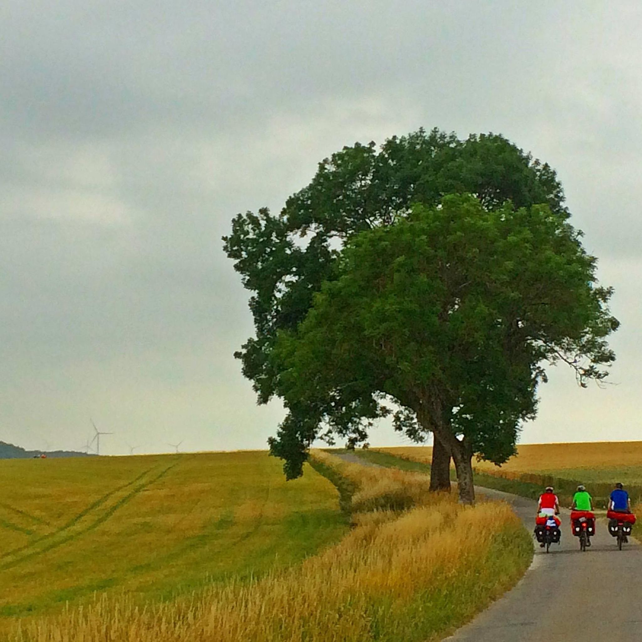
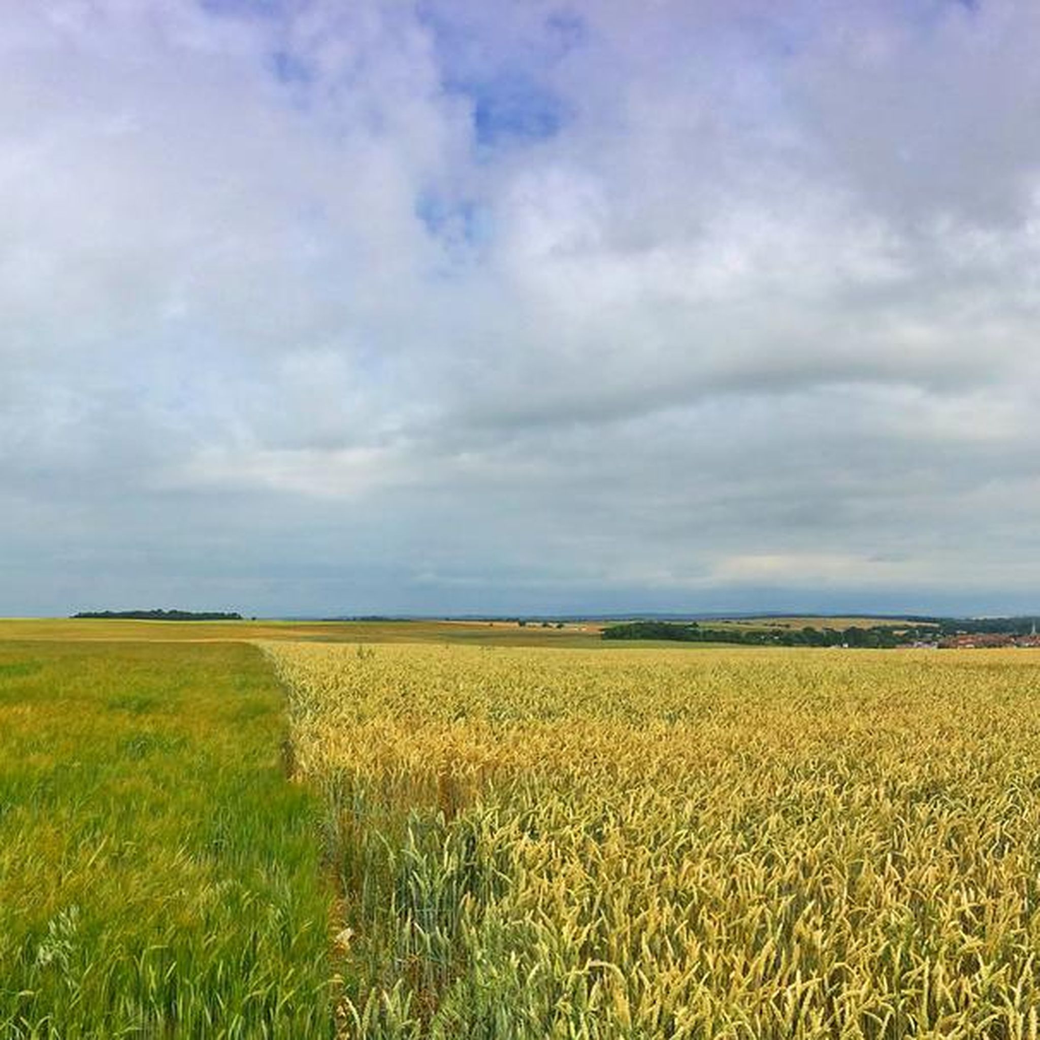
Typical hilly landscape in the Lorraine-Champagne border region: wide horizons over endless grain fields in the gently undulating landscape.
1
0
Frequently Asked Questions
How many running routes are available in Rembercourt-Sommaisne?
There are over 10 dedicated running routes around Rembercourt-Sommaisne, offering a variety of experiences for joggers. These routes are primarily easy to moderate in difficulty, making them accessible to a wide range of runners.
What kind of terrain can I expect on the jogging trails in Rembercourt-Sommaisne?
The jogging trails in Rembercourt-Sommaisne feature a varied terrain, with elevations ranging from 223m to 307m. This means you'll encounter gentle inclines and descents, adding variety to your run. The area is characterized by its rural, green environment, often following riverine scenery along the Aisne and Chée rivers.
Are there any easy running routes suitable for beginners or a relaxed jog?
Yes, Rembercourt-Sommaisne offers several easy running routes. For instance, the Running loop from Longchamps-sur-Aire is an easy 4.55 km (2.8 miles) trail, perfect for a relaxed jog. Another great option is the Running loop from Louppy-sur-Chée, which is 4.9 km (3.0 miles) and leads through serene riverine scenery.
Can I find circular running routes in the Rembercourt-Sommaisne area?
Absolutely. Many of the running routes in Rembercourt-Sommaisne are designed as loops, allowing you to start and finish in the same location. An example is the popular Le Preuil Countryside View loop from Rembercourt-Sommaisne, a moderate 9.4 km (5.9 miles) route offering scenic views.
What are some points of interest or landmarks I might see while running in Rembercourt-Sommaisne?
While running in Rembercourt-Sommaisne, you'll primarily experience the natural beauty of the rural landscape, including picturesque riverine scenery along the Aisne and Chée rivers. For those interested in local history, the 15th-century Saint-Louvent church in Rembercourt-aux-Pots is a listed monument that can be incorporated into your route for a cultural touch.
Is Rembercourt-Sommaisne suitable for family-friendly running or walking?
Yes, the generally gentle terrain and the presence of easy routes make Rembercourt-Sommaisne suitable for family-friendly outdoor activities. The green, rural environment provides a pleasant backdrop for both running and walking with children, especially on the shorter, less challenging loops.
Are there any moderate running trails for those looking for a bit more challenge?
Yes, for runners seeking a moderate challenge, Rembercourt-Sommaisne offers several options. The Running loop from Les Hauts-de-Chée is a moderate 5.35 km (3.3 miles) route with some elevation gain, providing a good workout while still enjoying the scenic countryside.
What is the best time of year to go jogging in Rembercourt-Sommaisne?
The Meuse department, where Rembercourt-Sommaisne is located, boasts a wonderful natural environment. Spring and autumn generally offer the most pleasant temperatures for jogging, with lush greenery in spring and beautiful foliage in autumn. Summer can also be enjoyable, especially during cooler mornings or evenings, to fully appreciate the region's green character.
Are there specific parking areas available for accessing the running trails?
While specific parking areas for each trail are not detailed, as a rural commune, Rembercourt-Sommaisne typically offers accessible parking in village centers or near trailheads. It's advisable to check local signage or maps for the most convenient parking spots when planning your run.
What do other runners say about their experience jogging in Rembercourt-Sommaisne?
The komoot community frequently praises the natural environment and varied terrain of Rembercourt-Sommaisne. Runners appreciate the serene riverine scenery and the opportunity to explore the green, rural landscape. Over 40 runners have used komoot to discover and enjoy the diverse routes available here.
Can I access running routes in Rembercourt-Sommaisne using public transport?
Rembercourt-Sommaisne is a rural commune, and public transport options directly to specific trailheads might be limited. It's generally recommended to arrive by car to have the most flexibility in accessing the various running routes throughout the area. For broader regional transport information, you might consult local Grand Est public transport resources.
Are dogs allowed on the running trails in Rembercourt-Sommaisne?
Generally, dogs are welcome on outdoor trails in rural areas like Rembercourt-Sommaisne, especially if kept on a leash. However, it's always best to observe local regulations and signage, particularly in nature-protected areas or near agricultural land, to ensure a pleasant experience for everyone.

Get inspired with the komoot mobile app


Explore more
Browse the best Running Trails & Routes in other regions.
