The best running trails around L'Épine
5.0
(3)
128
runners
25
runs
Jogging around L'Épine offers a variety of routes through its diverse landscape. The region features undulating terrain with notable elevation changes, providing challenging options for runners. Trails often lead through natural areas, including paths near water bodies like the Étang de Pêche. The network of routes caters to different fitness levels, from moderate paths to more difficult ascents.
Best jogging routes around L'Épine
- The most popular jogging route is Arambre – Le Trou de la Lune loop from Serres,…
Last updated: May 13, 2026
12
runners
9.29km
01:46
770m
770m
Hard run. Very good fitness required. Mostly paved surfaces. Suitable for all skill levels.
10
runners
9.68km
01:48
740m
740m
Hard run. Very good fitness required. Mostly paved surfaces. Suitable for all skill levels.

Sign up for free
9
runners
11.1km
01:11
70m
70m
Moderate run. Good fitness required. Mostly paved surfaces. Suitable for all skill levels.
11
runners
7.30km
01:09
370m
370m
Hard run. Very good fitness required. Sure-footedness, sturdy shoes and alpine experience required.
5.0
(1)
6
runners
11.1km
01:15
180m
180m
Moderate run. Good fitness required. Mostly paved surfaces. Suitable for all skill levels.
Get access to more routes and recommendations from other explorers.
Sign up for free
Already have an account?
Our route recommendations are based on thousands of hikes, rides, and runs completed by other people on komoot.
Start today with a free account
Your next adventure awaits.
Login or Signup
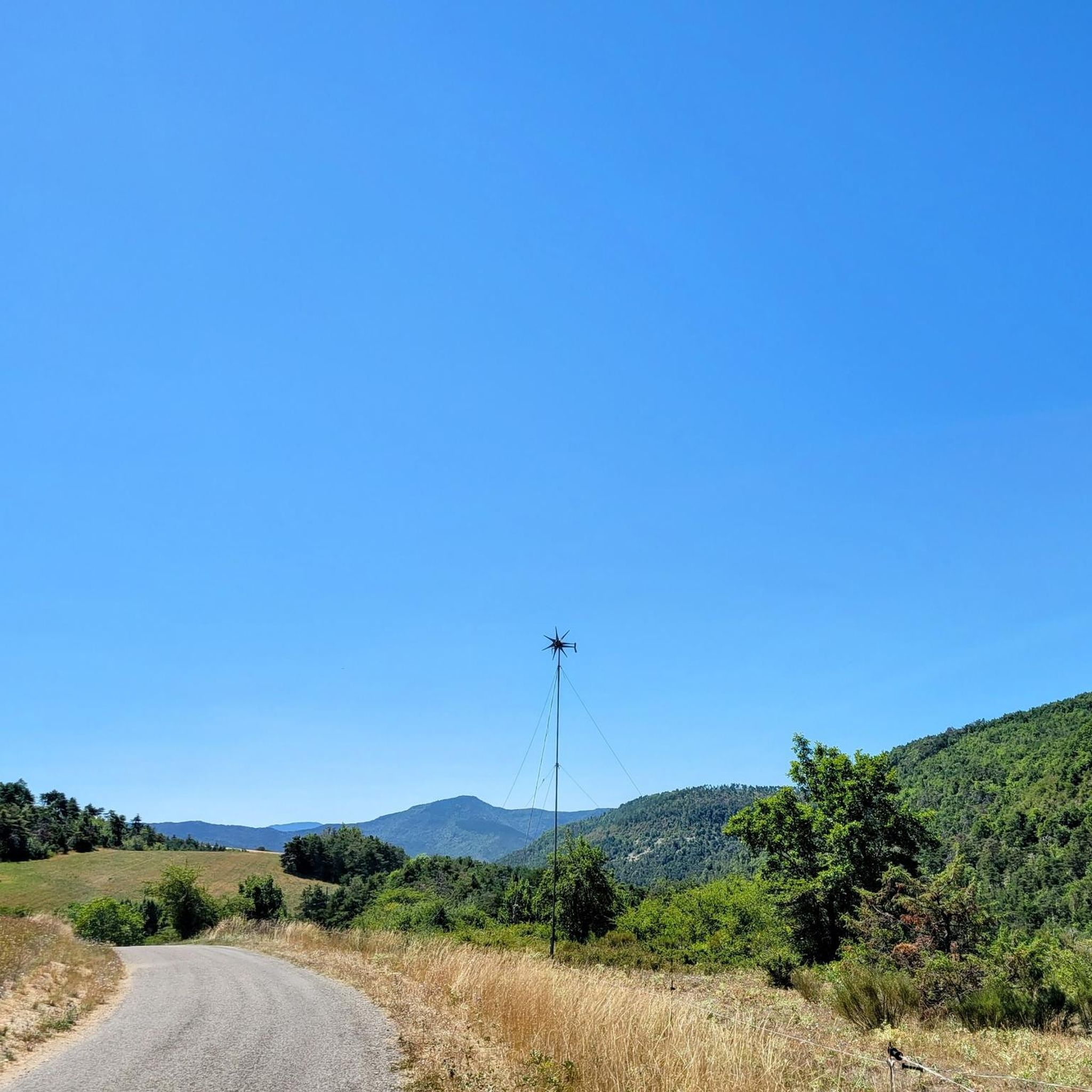
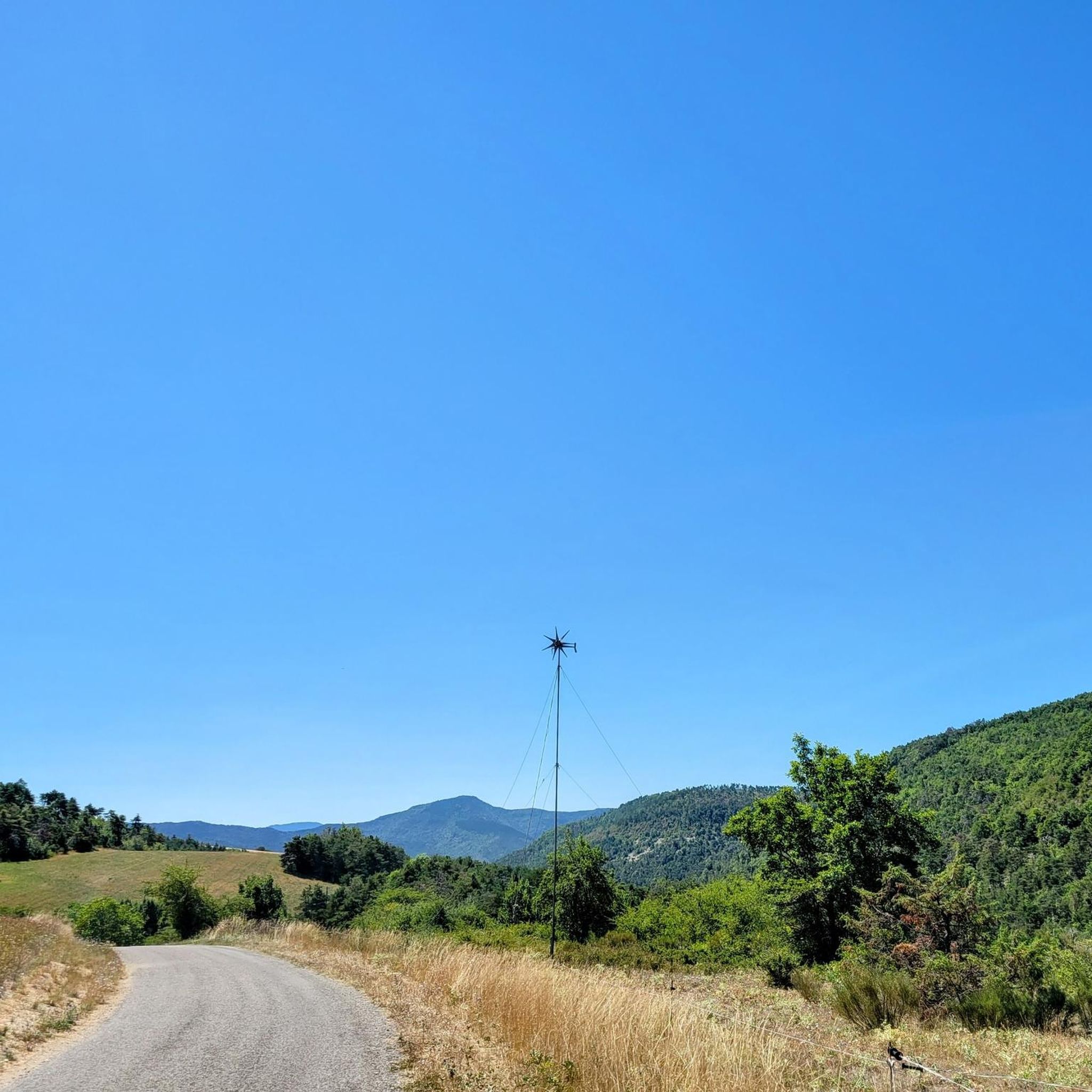
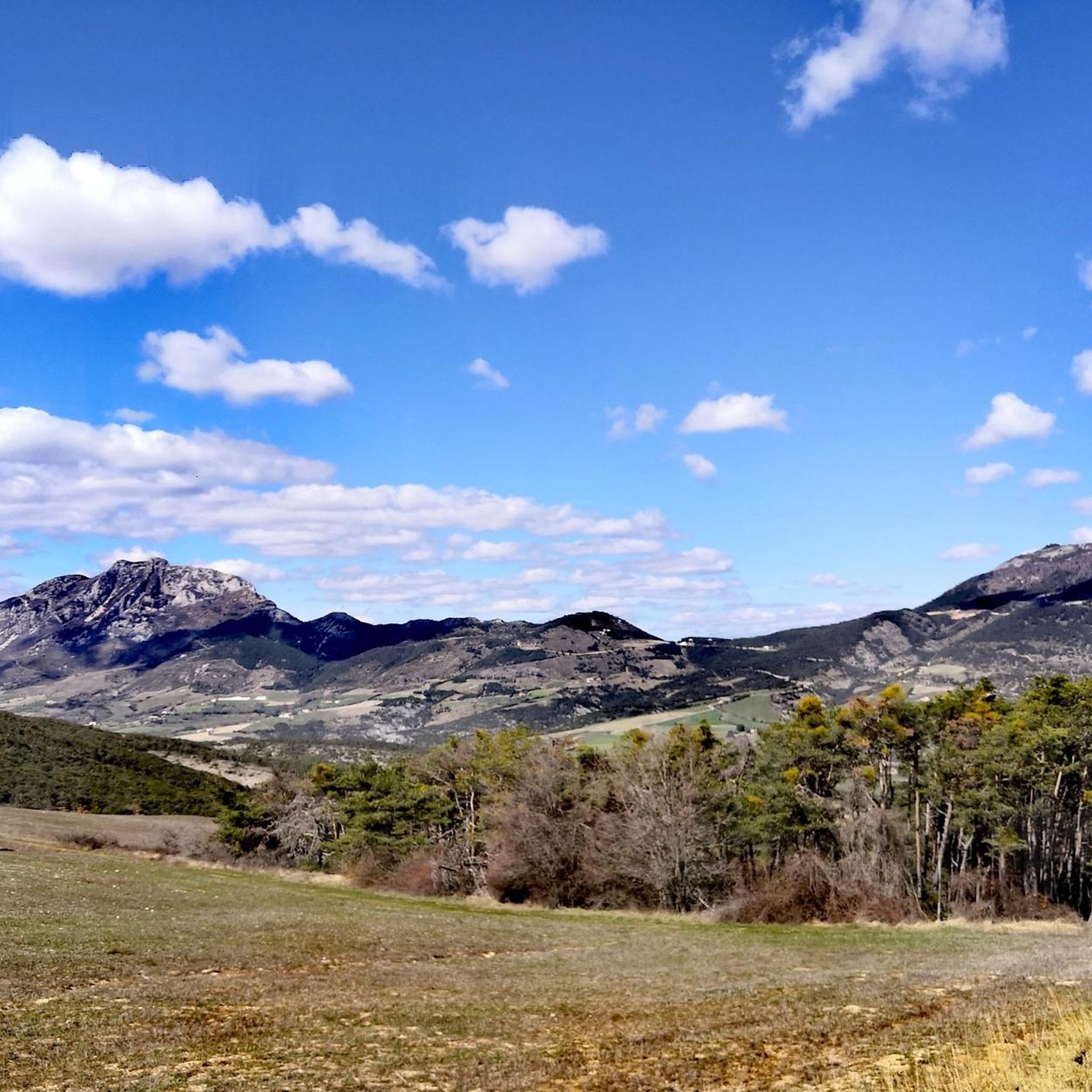
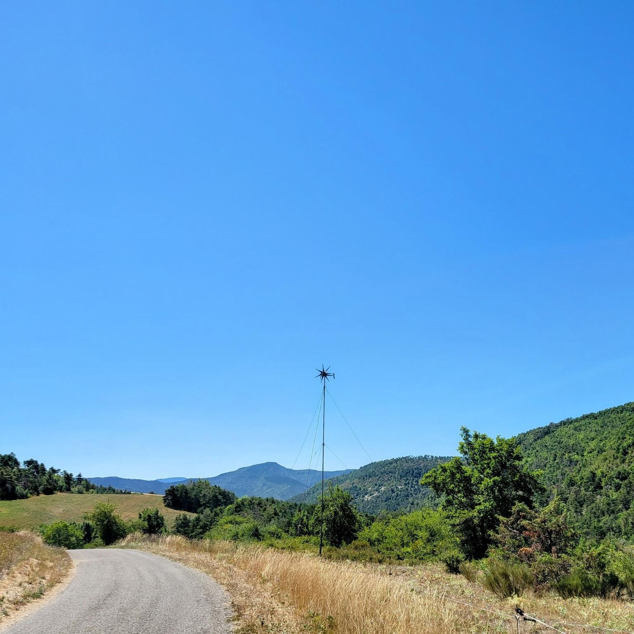
Tips from the Community

This very beautiful path joins the Col de Saumane at an altitude of 1,030 meters. The Notre-Dame de Saumane chapel, also called Notre-Dame-des-Anges, is located along the road.
0
1
Located at an altitude of 660 meters and leaning against the Pignolette rock, the village of Serres dominates the valley and its river. This small medieval town boasts some treasures: the arcaded square, the sculpted doors, the Romanesque church... As you stroll through its streets, you discover its rich history.
0
0
Frequently Asked Questions
Are there any easy or beginner-friendly jogging routes around L'Épine?
While L'Épine is known for its undulating terrain and more challenging runs, there are no routes specifically classified as 'easy' in the immediate area. However, moderate options like the Étang de Pêche loop from Serres offer a less strenuous experience with manageable elevation changes, making them suitable for those looking for a gentler run.
What are the typical distances and elevation changes for running routes in L'Épine?
Running routes in L'Épine generally range from moderate to difficult, featuring significant elevation changes due to the region's undulating landscape. For example, the Arambre – Le Trou de la Lune loop from Serres is a challenging 4.8 miles (7.8 km) route with over 700 meters of elevation gain. Moderate options, like the Serres – Café Terrace in Serres loop from Serres, cover about 5.5 miles (8.9 km) with around 160 meters of ascent.
Where can I park or access jogging routes using public transport in L'Épine?
Many of the running routes in the L'Épine area, including popular ones like the Étang de Pêche loop, originate from Serres. Serres serves as a central hub, and you can typically find parking facilities there. For public transport, it's advisable to check local bus schedules connecting to Serres, as it's the most common starting point for exploring the trails.
Are there any family-friendly running trails in the L'Épine region?
Given the predominantly moderate to difficult classification of routes and the significant elevation changes, most trails around L'Épine might be challenging for very young children or families seeking very flat, easy paths. However, the Étang de Pêche loop from Serres, while moderate, offers varied terrain near a fishing pond which could be enjoyable for active families with older children.
Can I bring my dog on the jogging routes around L'Épine?
Many natural trails in the L'Épine area are generally dog-friendly, provided your dog is well-behaved and kept on a leash, especially in areas with wildlife or livestock. Always ensure you carry water for your pet and clean up after them. Routes like the Running loop from Serres offer open spaces suitable for running with your canine companion.
What are some scenic viewpoints or interesting landmarks I might see while running in L'Épine?
The L'Épine region offers several points of interest. While running, you might encounter natural features like the Pommerol Gorges or enjoy views from mountain passes such as Col de Carabès. The area also features historical sites like La Charce Castle and charming settlements like Rosans, which can add to the scenic beauty of your run.
Are there any circular running trails available in L'Épine?
Yes, the majority of running routes in L'Épine are designed as circular loops, allowing you to start and finish at the same point. Examples include the popular Arambre – Le Trou de la Lune loop from Serres and the Étang de Pêche loop from Serres, providing convenient options for your run.
What do other runners enjoy most about jogging in L'Épine?
The running trails around L'Épine are highly rated by the komoot community, with an average score of 5.0 stars from 3 reviews. Runners often praise the diverse landscape, which includes undulating hills and natural water features like the Étang de Pêche. The variety of routes, catering to different ability levels, is also a frequently appreciated aspect.
How many running routes are available in the L'Épine area?
There are over 25 dedicated running routes available around L'Épine, offering a wide range of experiences for joggers. These routes are split between moderate and difficult classifications, ensuring options for various fitness levels.
Are there any cafes or amenities near the jogging paths in L'Épine?
Many routes, such as the Serres – Café Terrace in Serres loop from Serres, start and end in Serres. This town is a good place to find cafes, restaurants, and other amenities where you can refuel or relax before or after your run. It's always a good idea to carry water and snacks, especially on longer or more remote trails.
What are the best conditions for winter jogging in L'Épine?
Winter jogging in L'Épine can be beautiful, but conditions can vary. The undulating terrain might become slippery with frost or light snow, especially on higher elevations or shaded paths. It's recommended to check local weather forecasts, wear appropriate layers, and use trail running shoes with good grip. Lower elevation routes or those closer to Serres might be more accessible.
Most popular attractions around L'Épine

Get inspired with the komoot mobile app


Explore more
Browse the best Running Trails & Routes in other regions.
