The best mountain hikes around Sarre
5.0
(2)
51
hikers
6
hikes
Mountaineering routes around Sarre, located in Italy's Aosta Valley, offer access to some of the highest peaks in the Alps. The region is characterized by towering four-thousanders like Mont Blanc and Gran Paradiso, alongside extensive glaciers and alpine meadows. Sarre's strategic position provides diverse mountaineering opportunities, from challenging high-altitude ascents to routes through valleys and forests. The landscape features significant elevation changes and varied terrain, typical of a mountainous alpine environment.
Best mountaineering routes around Sarre
- The most popular mountaineering…
Last updated: May 11, 2026
5.0
(1)
12
hikers
8.87km
05:25
800m
800m
Hard mountaineering route. Very good fitness required. Sure-footedness, sturdy shoes and alpine experience required.
13
hikers
16.4km
08:09
1,270m
1,260m
Hard mountaineering route. Very good fitness required. Sure-footedness, sturdy shoes and alpine experience required.

Sign up for free
5
hikers
12.9km
07:55
1,350m
1,350m
Hard mountaineering route. Very good fitness required. Sure-footedness, sturdy shoes and alpine experience required.
11
hikers
11.5km
07:16
1,240m
1,230m
Hard mountaineering route. Very good fitness required. Sure-footedness, sturdy shoes and alpine experience required.
3
hikers
6.98km
04:18
720m
720m
Hard mountaineering route. Good fitness required. Sure-footedness, sturdy shoes and alpine experience required.
Our route recommendations are based on thousands of hikes, rides, and runs completed by other people on komoot.
Start today with a free account
Your next adventure awaits.
Login or Signup

Tips from the Community

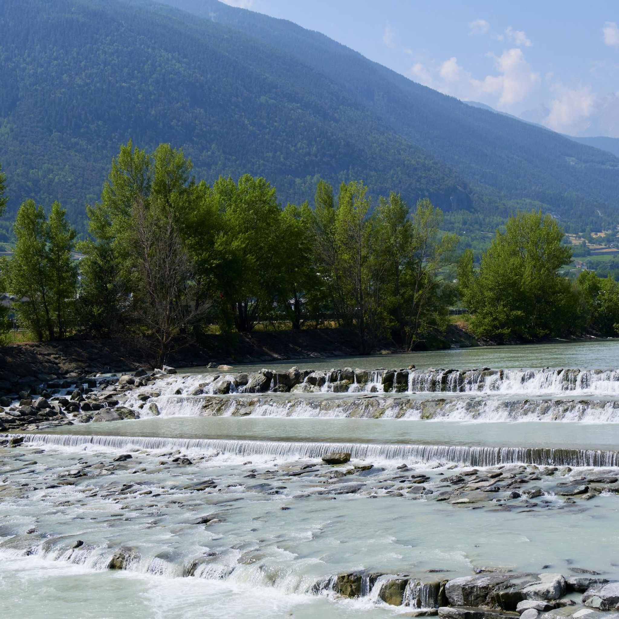
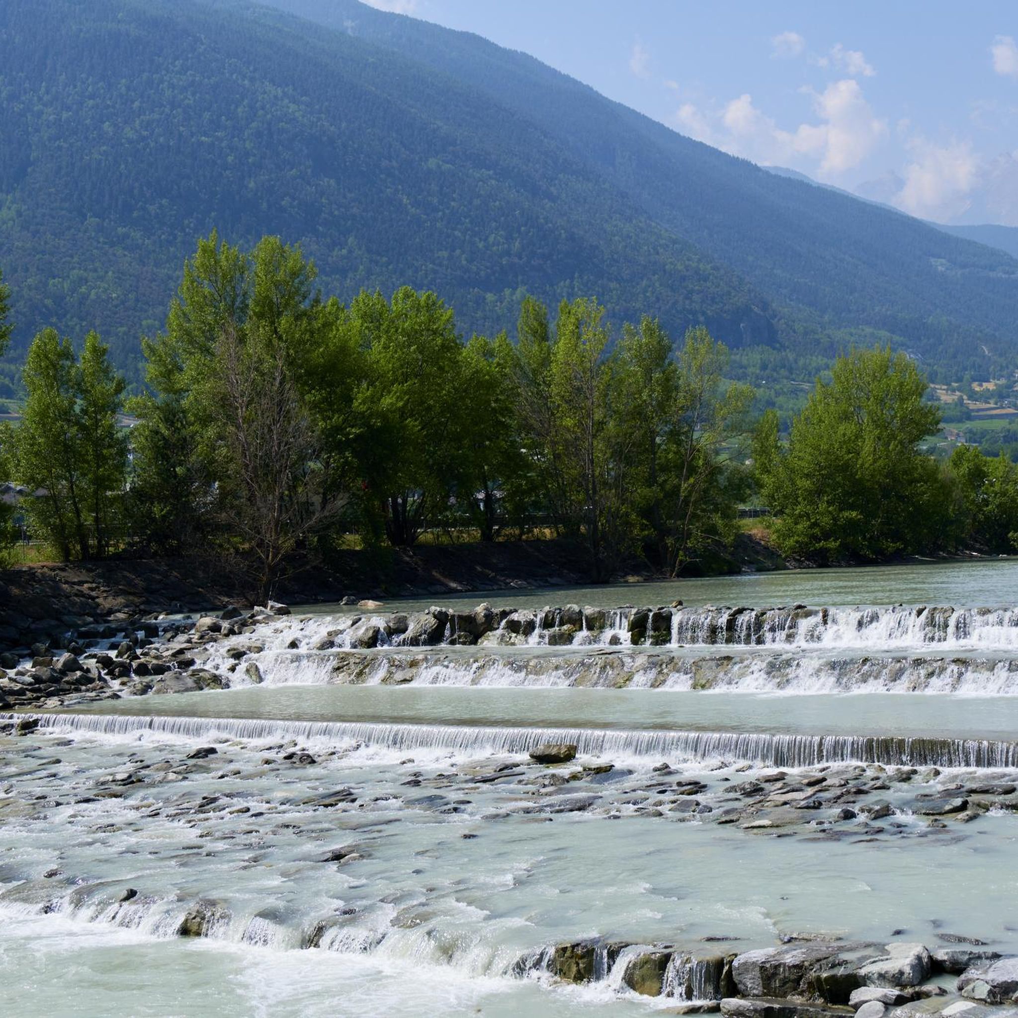
Very beautiful village to spend your hikes in. Drinking water fountain present
0
0

Climbing with bike up to Blavy is such a nice experience on its own: stunning views on the Alps!
0
0

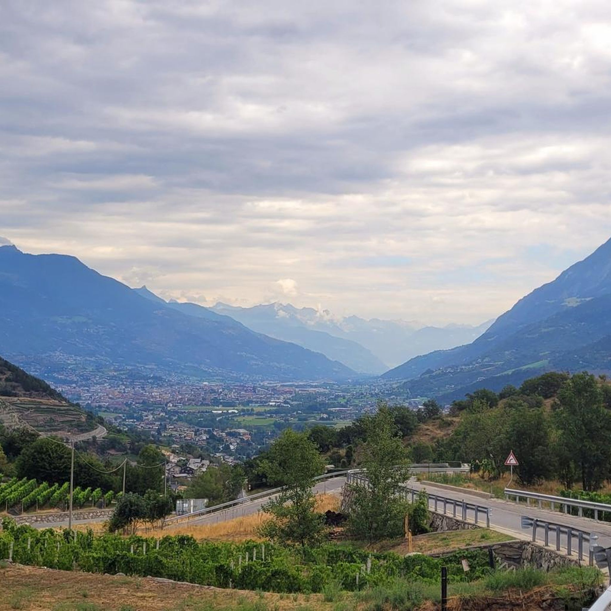
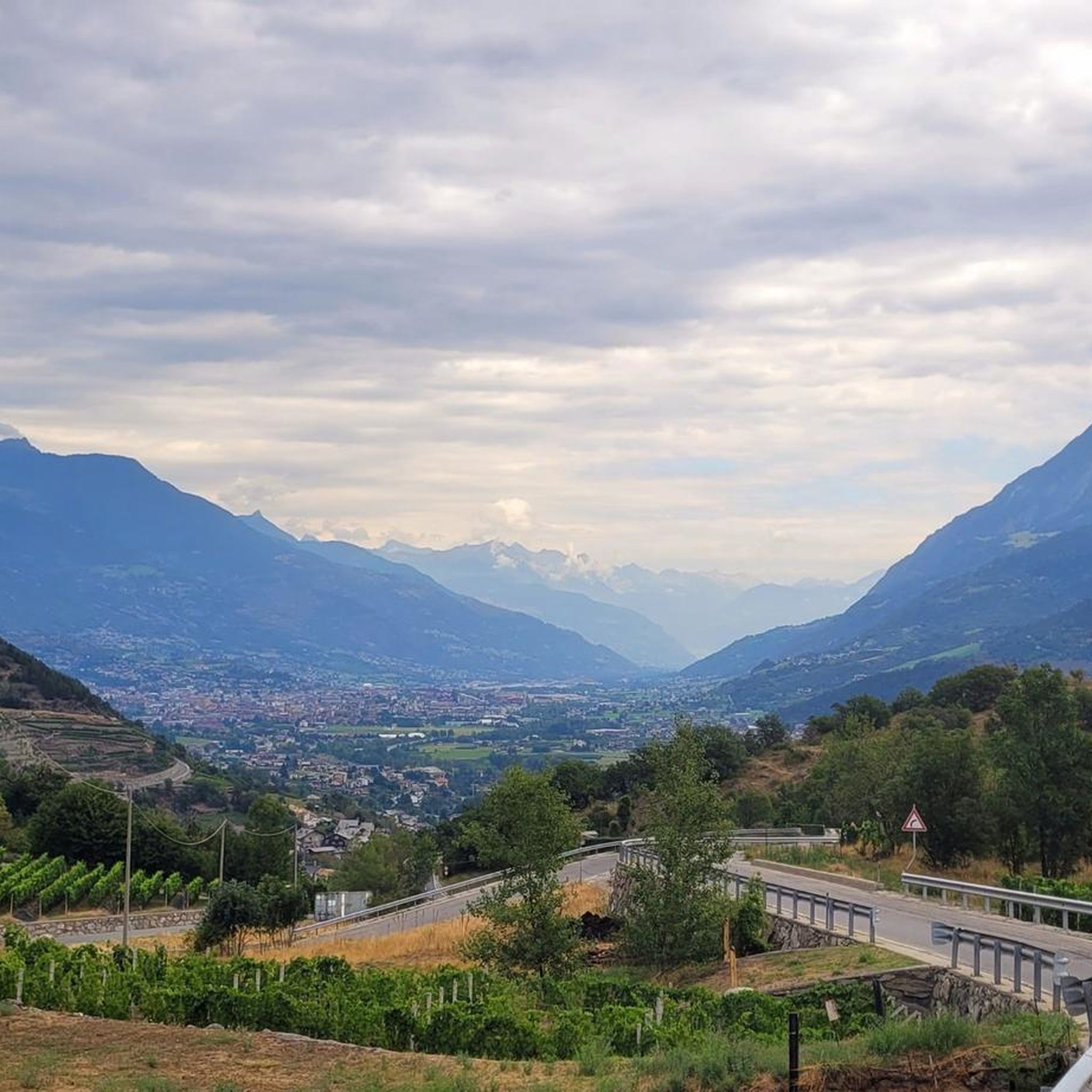
BY, spectacular and wide valley
0
0

Very panoramic hill, reachable only with bike on your shoulder
0
0

Amazing 360 degree view of Mont Blanc, Gran Paradiso and Matterhorn.
1
0

https://youtu.be/Pxndx9TNM5U?si=mH5XT38nxmCVjLSr Push, lift, and drag until you're over it, then you have a beautiful descent to Cogne.
0
0

A fantastic view, weather permitting: Mont Blanc, Grandes Jorasses, Matterhorn, Punta Rosa. The overview board tells you where each peak is located.
0
0

Beautiful refuge located on the Alta Via 1 and Tour du Gand Combin route, easily accessible in the summer
0
0
Frequently Asked Questions
How many mountaineering routes are available around Sarre?
There are over 9 mountaineering routes detailed around Sarre, all offering challenging ascents and diverse alpine experiences. These routes are highly rated by the komoot community, with an average score of 4.9 stars.
What is the typical difficulty level for mountaineering routes in Sarre?
Mountaineering routes around Sarre are generally considered difficult, featuring significant elevation gains and varied alpine terrain. They are best suited for experienced mountaineers seeking challenging ascents.
Are there any circular mountaineering routes near Sarre?
Yes, several routes around Sarre are circular, allowing you to start and end at the same point. Examples include the Fenêtre de Sereina loop from Saint-Rhémy, the Punta della Valletta (3,090 m) – Lago di Chamolé loop from Pila, and the Pointe de la Pierre loop from Pont D'Aël.
What kind of landscapes can I expect on mountaineering routes in Sarre?
The routes in Sarre offer breathtaking alpine scenery, characterized by towering 'four-thousanders' like Mont Blanc and Gran Paradiso, extensive glaciers, and high alpine meadows. You'll traverse diverse terrain, from rocky ascents to forested sections, all within the majestic Aosta Valley.
Are there any huts or refuges along the mountaineering trails for overnight stays or breaks?
Yes, the region around Sarre has several huts and refuges that can serve as excellent bases or rest stops. Notable options include the Mont Fallère Refuge, Arbolle Hut, and Chaligne Hut. These provide opportunities for longer expeditions or simply a warm meal.
What are some notable natural features or viewpoints to look out for on these routes?
You'll encounter stunning natural features and panoramic viewpoints. Keep an eye out for alpine lakes like Lago di Chamolé, and mountain passes such as Col de Champillon or Plan Fenêtre Pass, which offer expansive views of the surrounding Alps. The region is also known for its diverse fauna, including ibex and chamois, particularly near Gran Paradiso National Park.
When is the best time of year to go mountaineering in Sarre?
The best time for high-altitude mountaineering in Sarre is typically during the summer months, from June to September, when trails are generally clear of snow. However, the Aosta Valley also offers extensive opportunities for ski mountaineering and ice climbing from November to June, catering to winter enthusiasts.
Are the mountaineering routes around Sarre suitable for families or those with dogs?
The mountaineering routes listed for Sarre are generally classified as difficult due to significant elevation and challenging terrain, making them less suitable for young children or inexperienced hikers. While dogs are often welcome on trails in the Aosta Valley, the demanding nature of these specific routes means they are best suited for fit, experienced dogs and owners.
What do other mountaineers enjoy most about the routes in Sarre?
The routes around Sarre are highly rated by the komoot community, with an average score of 4.9 stars from over 10 reviews. Mountaineers frequently praise the challenging ascents, the breathtaking panoramic views of the Alps, and the sense of accomplishment from reaching high alpine peaks. The diverse terrain and access to iconic 'four-thousanders' are also often highlighted.
Are there any less-trafficked or 'hidden gem' mountaineering routes in the area?
While all routes offer a sense of adventure, for a potentially quieter experience, consider the Wooden Chamois Sculptures loop from I galliformi. This route still presents a difficult challenge but might offer a more secluded journey through the alpine landscape, allowing for a deeper connection with nature.
What should I know about parking and public transport access for mountaineering in Sarre?
While specific parking details vary by trailhead, Sarre and the wider Aosta Valley region are generally well-equipped with infrastructure for outdoor enthusiasts. Many trailheads, especially those leading to popular areas like Pila or Saint-Rhémy, will have designated parking. For public transport, regional buses connect various towns and villages, but access to remote trailheads might require private transport or a taxi. Always check local transport schedules in advance.
Most popular attractions around Sarre

Get inspired with the komoot mobile app


Explore more
Browse the best Mountain Hikes & Routes in other regions.
