The best mountain hikes around Occhieppo Inferiore
4.5
(6)
35
hikers
1
hike
Mountaineering routes around Occhieppo Inferiore are set within the picturesque hilly landscapes of Piemonte, Italy, offering challenging ascents and immersive natural experiences. The region, west of Biella, features diverse elevations and panoramic views over the plain, providing a compelling setting for outdoor activities. While Occhieppo Inferiore itself is characterized by varied trails and significant natural attractions like Parco della Burcina, its proximity to the broader Alpine ranges of Piemonte makes it a strategic base for exploring more rugged, higher-altitude terrain.…
Last updated: August 4, 2026
4.0
(3)
14
hikers
13.4km
06:42
1,090m
1,090m
Hard mountaineering route. Very good fitness required. Sure-footedness, sturdy shoes and alpine experience required.
4.5
(2)
14
hikers
13.1km
06:33
1,090m
1,090m
Hard mountaineering route. Very good fitness required. Sure-footedness, sturdy shoes and alpine experience required.

Sign up for free
5.0
(1)
7
hikers
13.6km
07:28
1,280m
1,280m
Hard mountaineering route. Very good fitness required. Sure-footedness, sturdy shoes and alpine experience required.
Our route recommendations are based on thousands of hikes, rides, and runs completed by other people on komoot.
Start today with a free account
Your next adventure awaits.
Login or Signup
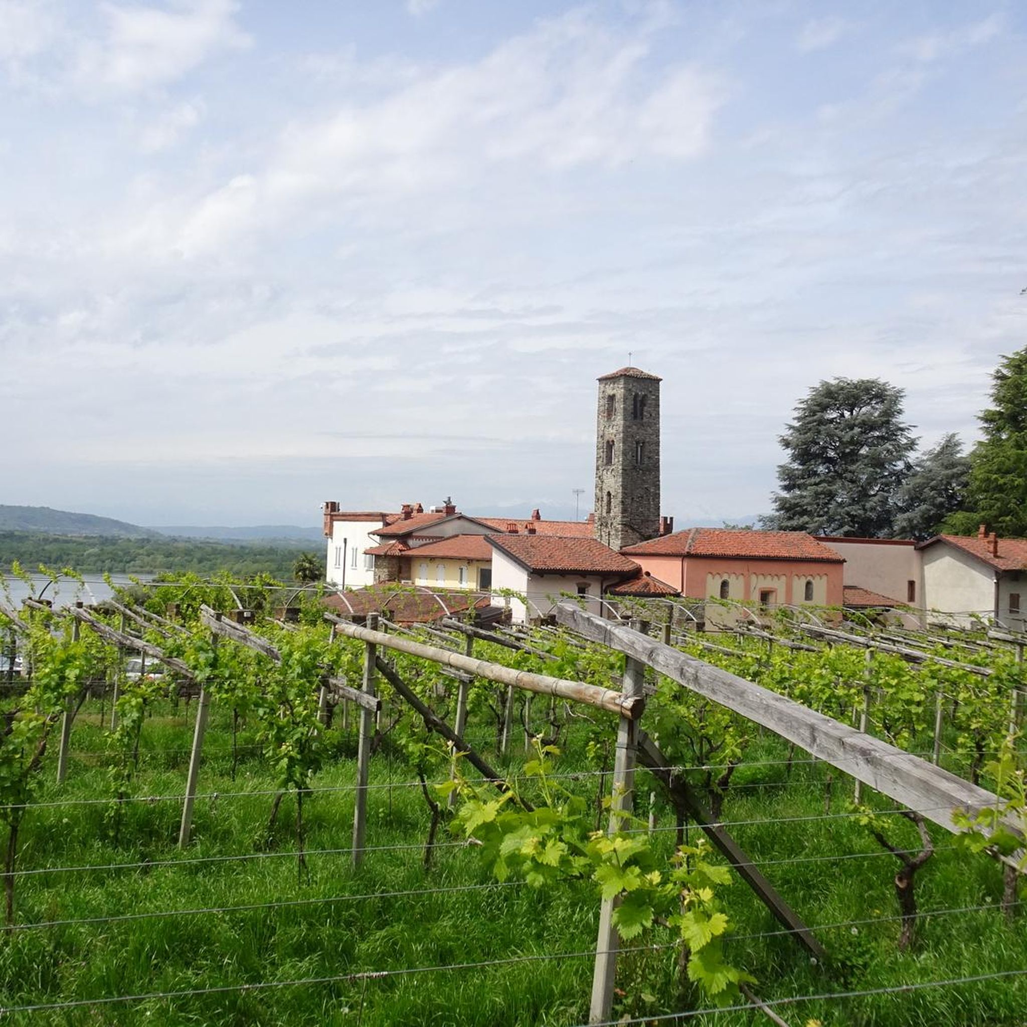
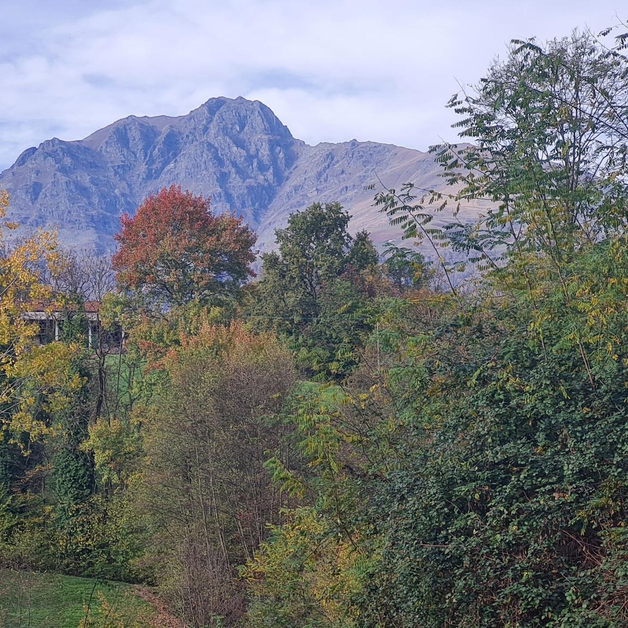
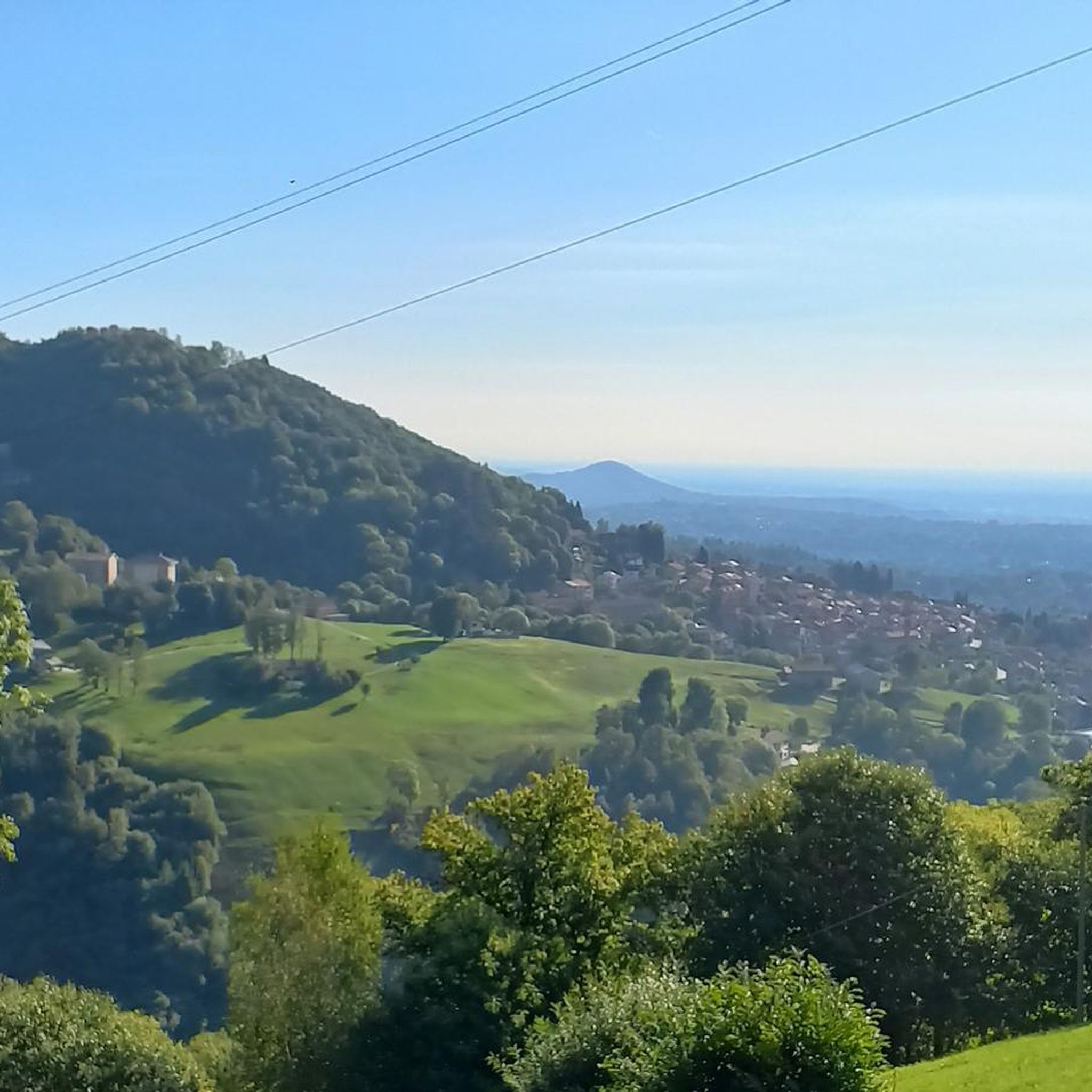

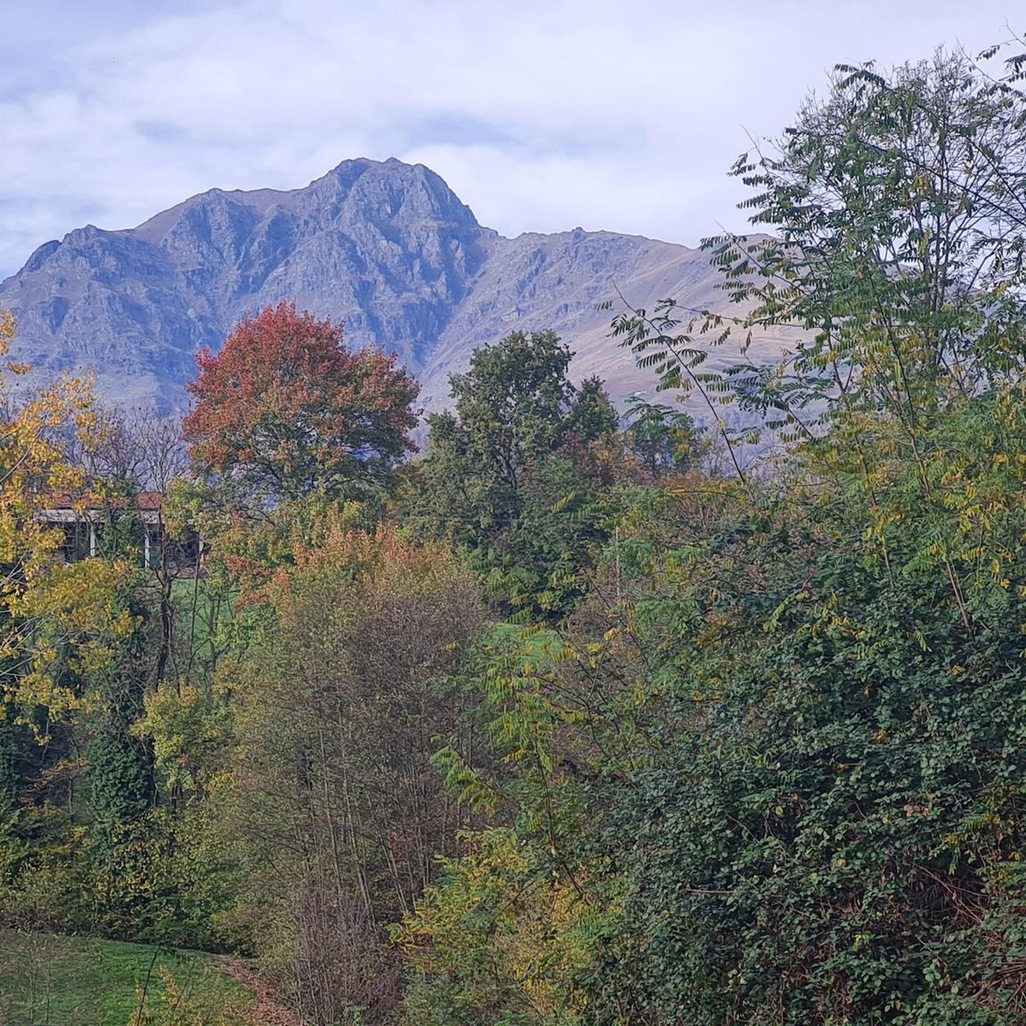

Tips from the Community

false ruins are a project by Arch Maffei, they integrate minor finds found in the Basilica
0
0

glacial lake that gives rise to the Oropa stream
0
0
built in 1936 and restored in 2006
0
0
arrival station and panoramic view of the Sanctuary
0
3
beautiful dirt road with dry stone walls and natural ground (without added gravel)
0
3
The Delubro is a small temple located along the road to the Galleria di Rosazza. It is one of the public works commissioned by Senator Federico Rosazza, a patron of the Valle Cervo and many other areas in the Biellese. It was built in 1896 to a design by Giuseppe Maffei, in homage to the romantic aesthetic of the ruin. It represents the junction point of paths and mule tracks, such as the one to Lake Mucrone and the one used by the procession of Fontainmore. Source: ATL Biella
0
0

A few meters from Lake Mucrone, if you are looking for a place to fill your water bottle, the Fonte del Bersagliere is the ideal place, where the freshest spring water flows.
0
0
Frequently Asked Questions
What kind of terrain can I expect on mountaineering routes around Occhieppo Inferiore?
The region around Occhieppo Inferiore is characterized by diverse hilly terrain, offering challenging ascents and panoramic views over the plain. While not a traditional technical climbing hub, the trails often demand sure-footedness and mountain footwear, hinting at conditions found in lower-level mountaineering. You'll find a mix of varied mountain landscapes.
Are there any circular mountaineering routes available?
Yes, several routes are designed as loops, allowing you to start and finish in the same location. For example, you can explore the Monte Camino – Rifugio Rosazza loop from Oropa, the Lago del Camino – Lago Barma superiore loop from Oropa, or the Monte Mucrone Summit – Lake Mucrone loop from Oropa. Another option is the Bric Paglie – Colma di Mombarone loop from Cappella 77.
What are some of the more challenging mountaineering routes in the area?
The mountaineering routes around Occhieppo Inferiore are generally considered challenging. For instance, the Lago del Camino – Lago Barma superiore loop from Oropa is a difficult 10-mile (16.1 km) path exploring high-altitude lakes. Another demanding option is the Bric Paglie – Colma di Mombarone loop from Cappella 77, which features significant elevation gain over 8.5 miles (13.6 km).
What can I see along the mountaineering routes or nearby?
While on your mountaineering routes, you'll encounter expansive mountain scenery and high-altitude lakes. Beyond the trails, the region offers several points of interest. You can visit the historic Oropa Sanctuary, explore the Ricetto of Candelo, or discover the Bessa Gold Mining Archaeological Site. The area also features scenic mountain passes like Passo dell'Oca and Colle della Colma.
What is the average duration for mountaineering routes in this area?
The mountaineering routes around Occhieppo Inferiore typically require a significant time commitment due to their difficulty and length. For example, the Monte Camino – Rifugio Rosazza loop from Oropa takes approximately 6 hours and 47 minutes, while the Lago del Camino – Lago Barma superiore loop from Oropa can take around 7 hours and 37 minutes.
Are there any specific natural attractions or parks to visit near Occhieppo Inferiore?
Yes, a notable natural attraction is the Parco della Burcina, located along the panoramic road to Pollone. This nature reserve is particularly famous for its spectacular rhododendron blooms in the 'Valle dei Rhododendrons' during May and June, offering a vibrant and scenic backdrop for walks and exploration.
What do other mountaineers say about the routes in Occhieppo Inferiore?
The routes in Occhieppo Inferiore are highly rated by the komoot community, with an average score of 4.75 stars from over 5 reviews. More than 70 mountaineers have used komoot to explore the varied and challenging terrain, often praising the immersive natural experiences and panoramic views.
Is there parking available near the starting points of these mountaineering routes?
While specific parking details for each route are best checked on the individual tour pages, starting points like Oropa and Cappella 77 are generally accessible by car. It's advisable to plan your journey and check for designated parking areas or roadside availability before you set out.
What is the best season for mountaineering in Occhieppo Inferiore?
Given the challenging nature of these routes and their proximity to the Alpine ranges, late spring through early autumn (May to October) is generally the most favorable period. During this time, you can expect more stable weather conditions and less snow at higher elevations, making for safer and more enjoyable ascents. The rhododendron blooms in Parco della Burcina are particularly beautiful in May and June.
Are there any routes that lead to mountain refuges?
Yes, the Monte Camino – Rifugio Rosazza loop from Oropa is an excellent option if you're looking to reach a mountain refuge. This challenging route offers significant elevation gain and leads directly to Rifugio Rosazza, providing a potential stop or turnaround point.
Can I find routes with significant elevation gain for a good workout?
Absolutely. The mountaineering routes in this area are known for their challenging ascents. For example, the Lago del Camino – Lago Barma superiore loop from Oropa involves over 1200 meters of elevation gain, and the Bric Paglie – Colma di Mombarone loop from Cappella 77 also features over 1280 meters of climbing, ensuring a strenuous and rewarding experience.
Most popular routes around Occhieppo Inferiore
Most popular attractions around Occhieppo Inferiore

Get inspired with the komoot mobile app


Explore more
Browse the best Mountain Hikes & Routes in other regions.
