The best mountain hikes around Camburzano
4.5
(6)
38
hikers
1
hike
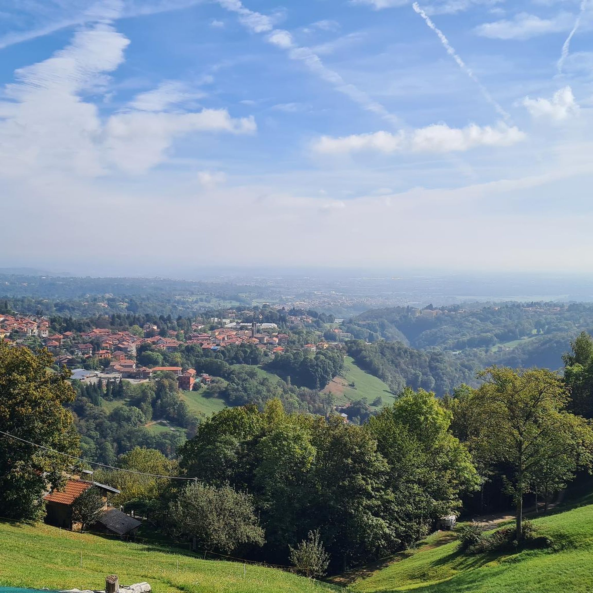
Mountaineering routes around Camburzano, located in the Biella region of Italy, traverse a diverse mountainous landscape characterized by significant peaks and panoramic views. The terrain includes challenging ascents and scenic paths, offering varied experiences for mountaineers. Notable features include the Poggio Frassati Summit and the Colma di Mombarone, providing expansive vistas over the Biella area and the Oropa Sanctuary. This region offers a blend of physical challenge and natural beauty within the Italian Alpine environment.
Best mountaineering routes around Camburzano
…Last updated: October 25, 2026
4.0
(3)
16
hikers
13.6km
06:37
1,090m
1,090m
Hard mountaineering route. Very good fitness required. Sure-footedness, sturdy shoes and alpine experience required.
4.5
(2)
15
hikers
13.2km
06:30
1,090m
1,090m
Hard mountaineering route. Very good fitness required. Sure-footedness, sturdy shoes and alpine experience required.

5.0
(1)
7
hikers
13.6km
07:28
1,280m
1,280m
Hard mountaineering route. Very good fitness required. Sure-footedness, sturdy shoes and alpine experience required.
Our route recommendations are based on thousands of hikes, rides, and runs completed by other people on komoot.
Start today with a free account
Your next adventure awaits.
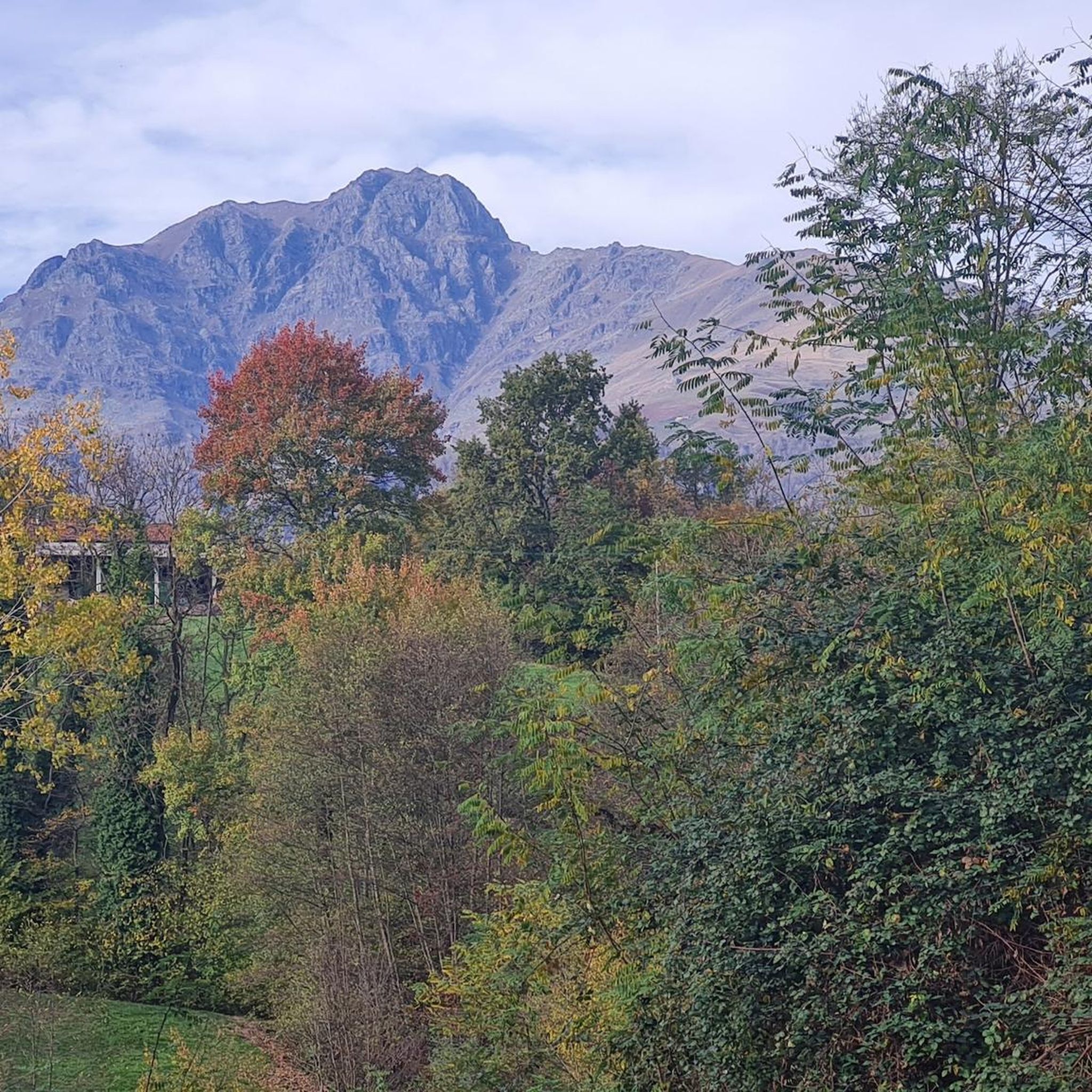
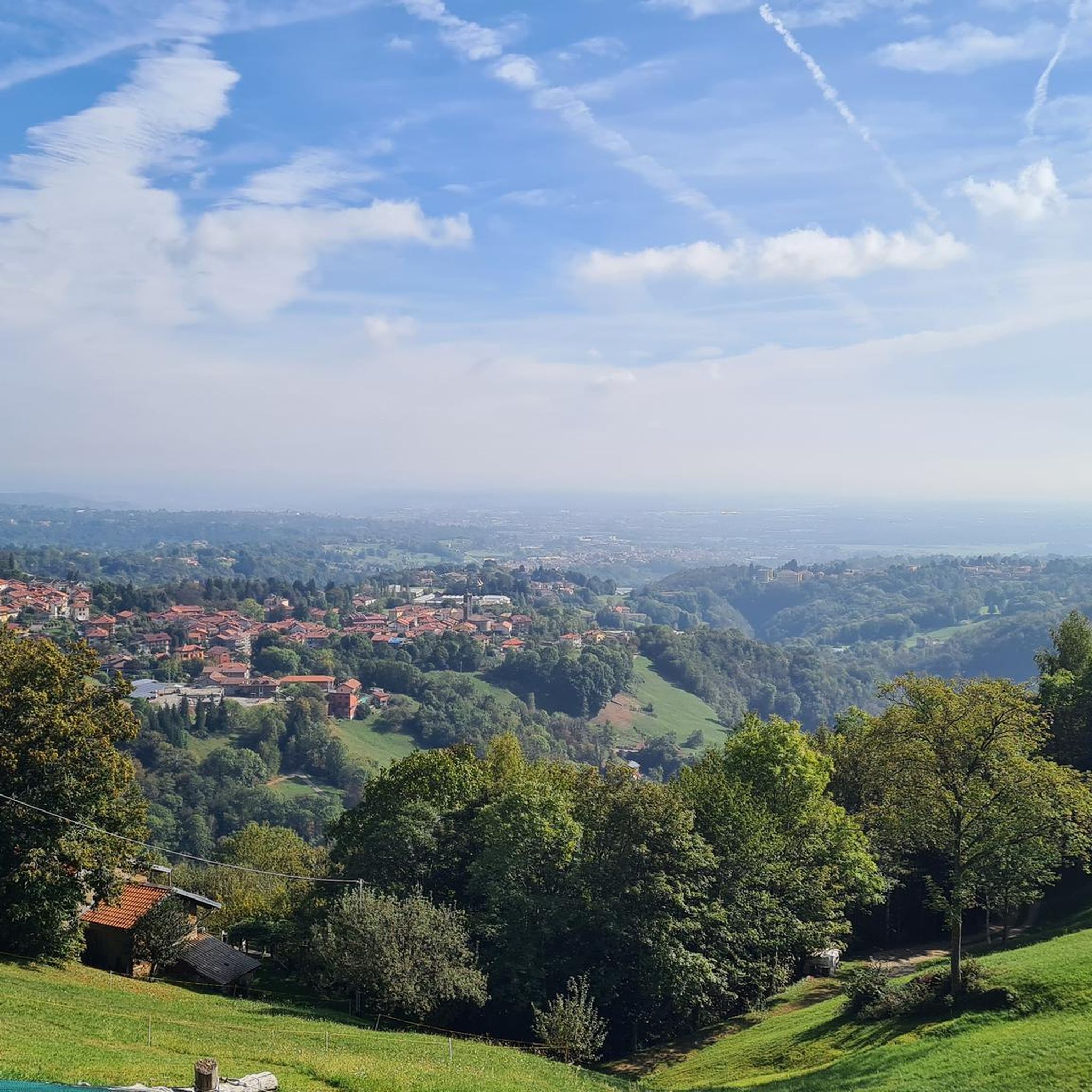
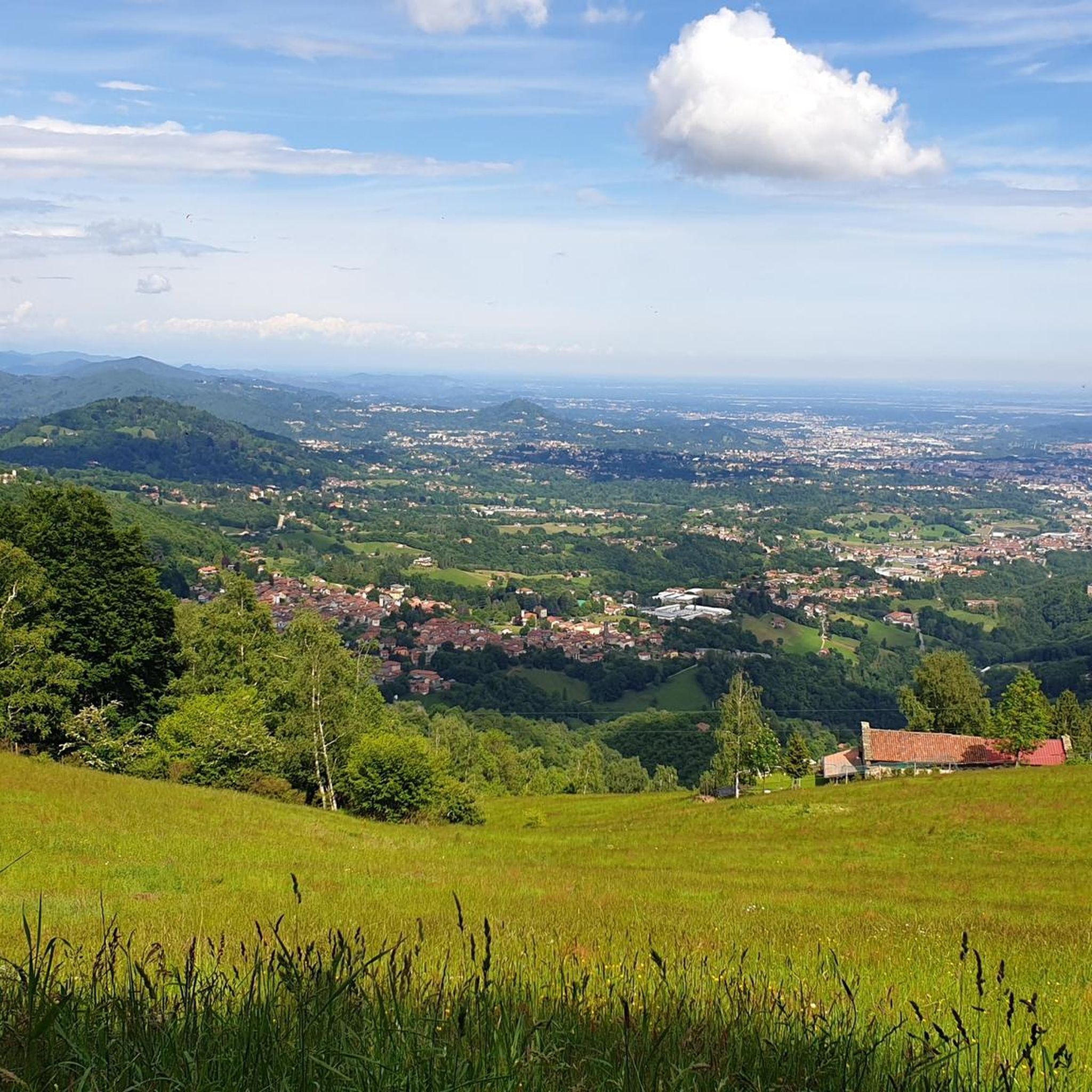
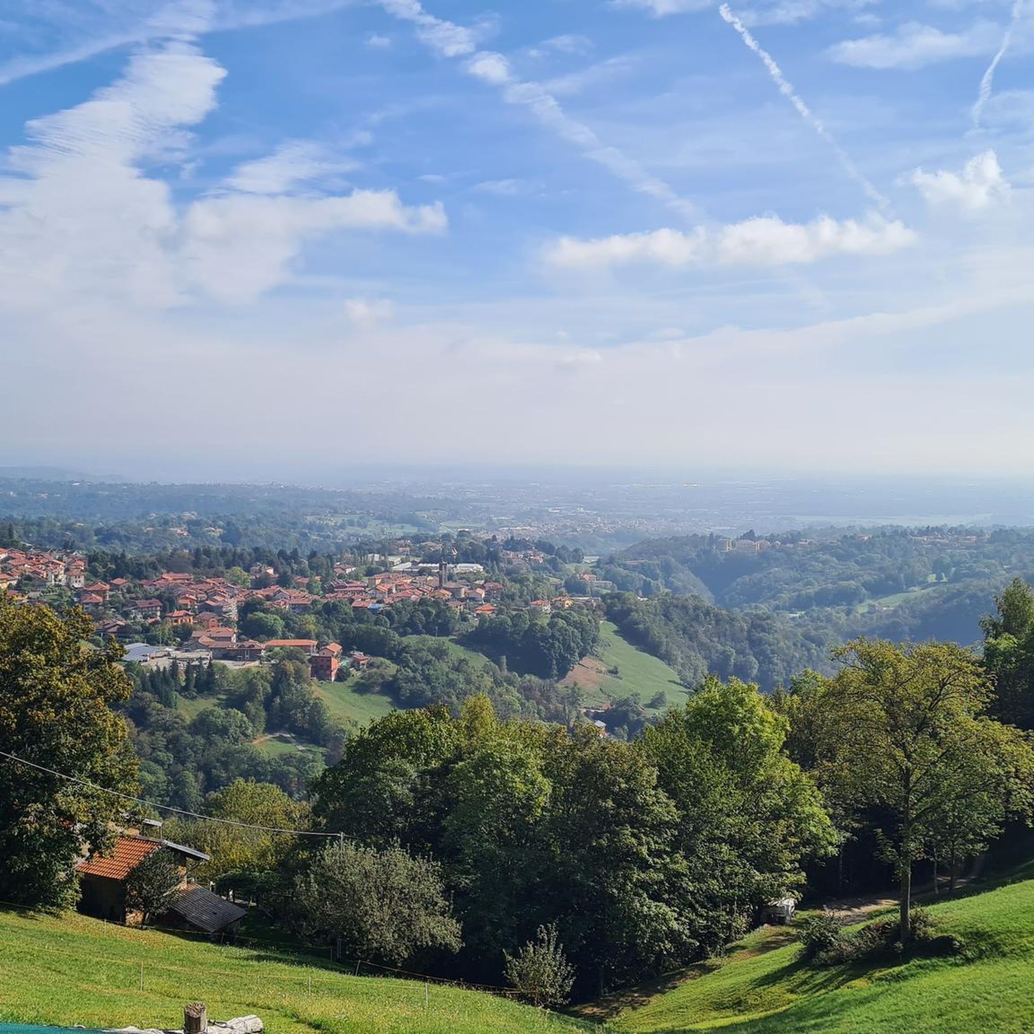

Tips from the Community


glacial lake that gives rise to the Oropa stream
0
0
built in 1936 and restored in 2006
0
0
arrival station and panoramic view of the Sanctuary
0
3
beautiful dirt road with dry stone walls and natural ground (without added gravel)
0
3
at the end of 2025 the dirt road track was improved and made passable by off-road vehicles and bikes, with the elimination and covering of the previous ford on the Oropa
0
0
it is located at Alpe Pissa
0
1

A few meters from Lake Mucrone, if you are looking for a place to fill your water bottle, the Fonte del Bersagliere is the ideal place, where the freshest spring water flows.
0
0
Frequently Asked Questions
How many mountaineering routes are available around Camburzano?
There are at least 5 challenging mountaineering routes around Camburzano that have been recorded and rated by the komoot community. These routes offer diverse experiences across the Biellese Alps.
What kind of terrain can I expect on mountaineering routes near Camburzano?
The terrain around Camburzano is diverse, featuring significant peaks, panoramic viewpoints, and high-altitude lakes. You can expect challenging ascents and scenic paths, with routes like the Monte Camino – Rifugio Rosazza loop from Oropa offering substantial elevation gain and views towards Monte Camino.
Are there any routes that explore high-altitude lakes?
Yes, the Lago del Camino – Lago Barma superiore loop from Oropa is a difficult 10.0-mile (16.1 km) path that features sustained climbing and explores the beautiful high-altitude lakes in the Biellese Alps.
What are some notable summits or viewpoints I can reach?
Mountaineering in this region offers access to several panoramic peaks. The Monte Mucrone Summit – Lake Mucrone loop from Oropa leads to the Monte Mucrone Summit, offering expansive views. Another option is the Bric Paglie – Colma di Mombarone loop from Cappella 77, which takes you to Bric Paglie, known for its beautiful panoramic spot, and the Colma di Mombarone summit with its impressive 360° views, including Monte Rosa.
What cultural or historical landmarks can I visit near the mountaineering routes?
The Oropa Sanctuary, a significant religious site and Sacred Mount, serves as a common starting or arrival point for many hiking paths. It's recognized as the largest Marian sanctuary in the Alps and houses the Black Madonna in its Ancient Basilica, offering a rich cultural and historical dimension to your outdoor excursions.
What do other mountaineers say about the routes in Camburzano?
The routes around Camburzano are highly rated by the komoot community, with an average score of 4.8 stars from several reviews. Mountaineers often praise the challenging yet rewarding experiences and the stunning panoramic views of the Biella area and the Oropa Sanctuary.
Are there any circular mountaineering routes available?
Yes, many of the mountaineering routes around Camburzano are designed as loops. Examples include the Monte Camino – Rifugio Rosazza loop from Oropa, the Lago del Camino – Lago Barma superiore loop from Oropa, and the Monte Mucrone Summit – Lake Mucrone loop from Oropa, all starting from Oropa.
Are there any family-friendly mountaineering options in Camburzano?
The mountaineering routes listed for Camburzano are generally rated as 'difficult' due to significant elevation gain and sustained climbing, making them more suitable for experienced mountaineers. While some paths to summits like Poggio Frassati are generally accessible, they can include steep sections. For families, it's advisable to research specific sections or consider shorter, less strenuous hikes in the broader Biella region.
Are there any nearby attractions beyond the mountaineering trails?
Yes, the region offers more to explore. You can visit historical sites like the Ricetto of Candelo or the Ricetto di Magnano. There are also mountain passes such as Passo dell'Oca and Col Giassit that offer different perspectives of the landscape.
What is the difficulty level of mountaineering routes in Camburzano?
All the mountaineering routes highlighted in this guide, such as the Lago Pasci – Colma di Mombarone loop from Andrate San Giacomo, are classified as 'difficult'. They involve considerable distances and significant elevation changes, requiring a good level of fitness and mountaineering experience.
Is public transport available to reach the trailheads?
While specific public transport details for each trailhead are not provided, the Oropa Sanctuary is a major hub and often accessible by local transport, serving as a common starting point for many routes. It's recommended to check local bus schedules for connections to Oropa or other starting points.
Are dogs allowed on the mountaineering trails around Camburzano?
Generally, dogs are permitted on hiking and mountaineering trails in the Italian Alps, provided they are kept under control, especially in areas with livestock or wildlife. However, it's always best to check for specific local regulations or signage at individual trailheads or protected areas.
Most popular routes around Camburzano
Most popular attractions around Camburzano

Get inspired with the komoot mobile app


Explore more
Browse the best Mountain Hikes & Routes in other regions.
